 #T1
Arlington
Bennington County · 2,404 peopleJuly high·January low 10°·3 days of 90°+ a year
Each edition grades its towns against each other only.
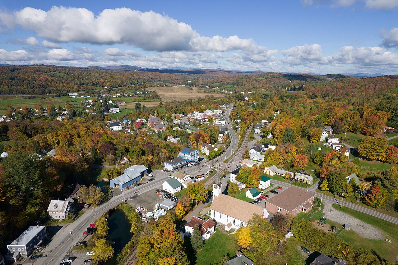
Arlington, #1 on this list · Photo: gplefka · Public domainArlington (tied with 1 more) has the coolest summers of Vermont’s 84 towns of 2,500+: July afternoons average a high of 76° (NOAA 1991–2020 normals). The typical town here averages 80°; 30 of the 84 stay under 80°.
The average July high. NOAA U.S. Climate Normals, 1991–2020, from NOAA’s 5 km grid at each town’s center; one town for each grid cell. A described list: no letters. How grades work
#T1July high·January low 10°·3 days of 90°+ a year
 #T1
July high·January low 5°·3 days of 90°+ a year
 #3
July high·January low 8°·0 days of 90°+ a year
July high, lowest first. Towns with the same figure share a rank (T = tied; 55 towns here).
84 towns ranked. Not here? See why a town may be missing.
Arlington (Bennington County): July afternoons average a high of 76°. Barton (76°) and Underhill (77°) follow.
By the average July high (the warmest month’s afternoons), lowest first, on NOAA’s 1991–2020 normals, read from its 5 km grid at each town’s center. Towns with the same figure share a rank (T); the figure and the state rank are the ones on each town’s Climate page. How grades work.
The list covers towns of 2,500+ residents, one for each of NOAA’s 5 km grid cells (84 in Vermont): where towns share a cell, one of them stands for it, since the grid gives them the same figures. Every town’s own figures are on its Climate page. Every town is on the Vermont page.
Every list ranks the same 2,500+ towns, so a town’s rank means the same thing on each.