
Brattleboro Historical Society Jeremiah Beal House, 2012
West Brattleboro’s story
194 years in pictures
The archive holds 6 old photos and papers going back to 2012 and 4 maps from 1891 on.
- 1832West Brattleboro is settled
Each edition grades its towns against each other only.

No town among the 72 in Vermont we compare has a lower middle household income than West Brattleboro. West Brattleboro’s trail density is 1.6 miles per square mile, above both Vermont’s towns (0.6) and U.S. towns (0.4). The biggest park or preserve is Living Memorial Park, at 60 acres. We don’t grade West Brattleboro yet; the figures below are still real.
Where West Brattleboro beats most towns.
Where West Brattleboro’s working residents go each day. Line width shows the share.
Census LEHD 2023
The archive holds 6 old photos and papers going back to 2012 and 4 maps from 1891 on.
West Brattleboro is unincorporated, so Windham County and regional agencies provide most services.
EPA SDWIS (Oct 9, 2026) · HIFLD + EIA-861 2025 · Census 2020 ZCTAs · NCES 2024–25 · registration: vote.gov, updated Aug 3, 2026.
Ordered by what stands out in West Brattleboro.
The top destinations are Brattleboro (51%), Putney (2%) and Keene (2%). West Brattleboro had 469 jobs in 2023, down 33 from 2013. Among residents here, 15% live below the poverty line, above both the Vermont town median (9.5%) and the median of U.S. towns (9.6%). Its average trip to work is 28 minutes.
| West Brattleboro | Vermont towns | U.S. towns | |
|---|---|---|---|
| Below the poverty line | 15% | 9.5% | 9.6% |
| Average trip to work | 28 minutes | 23 minutes | 25 minutes |
| Working residents who work in town | 4.6% | 16% | 8% |
Census LEHD 2023 · ACS
FEMA puts three quarters of West Brattleboro’s expected hazard losses down to inland flooding, and 10% to cold waves. On expected storm and flood damage, West Brattleboro sits above just over two thirds of U.S. communities.
FEMA National Risk Index · OpenFEMA
Among 72 Vermont towns, just one has a higher midsummer high than West Brattleboro. July afternoons reach 83°, January nights drop to 13° and about 60 inches of snow falls in a winter.
NOAA U.S. Climate Normals, 1991–2020
Across 1 park or preserve: 2.5 miles of trail.
| Biggest places to walk | Trails | Acres |
|---|---|---|
| 1. Living Memorial Park | 0.4 mi | 60 |
Trails & parks © OpenStreetMap contributors · Conserved land: USGS PAD-US
27% of West Brattleboro adults have been diagnosed with depression. West Brattleboro: just over a quarter of adults have obesity.
| West Brattleboro | Vermont towns | U.S. towns | |
|---|---|---|---|
| Obesity (CDC PLACES) | 26% | 30% | 35% |
| Sleep under 7 hours (CDC PLACES) | 31% | 30% | 36% |
| Depression (CDC PLACES) | 27% | 27% | 23% |
| Binge drink (CDC PLACES) | 15% | 16% | 16% |
| What stands out | West Brattleboro | VT |
|---|---|---|
| Fewer adults seeing a dentist | 64.7% | 69.2% |
CDC PLACES 2025 · modeled estimates for adults · CMS · HRSA
36% of adults 25 and older hold at least a bachelor’s degree, against 44% across Vermont. Adults 18 to 34 are 18% of residents (22% statewide). West Brattleboro’s midpoint age is 47.2 years.
| West Brattleboro | Vermont towns | U.S. towns | |
|---|---|---|---|
| Median age | 47.2 years | 43.7 years | 40.5 years |
| Aged 65 or older | 23% | 22% | 18% |
| Bachelor’s degree or more, 25+ | 36% | 40% | 29% |
| Under 18 | 21% | 19% | 22% |
53% women, 47% men
That’s an even split within the survey’s margin of ±4.2 points. Across Vermont, 50.4% of residents are women.
| West Brattleboro | VT | U.S. | |
|---|---|---|---|
| Under 10 | 12% | 9.1% | 11.6% |
| 10 to 17 | 8.5% | 8.8% | 10.3% |
| 18 to 24 | 8.1% | 10% | 9.1% |
| 25 to 34 | 9.8% | 11.9% | 13.7% |
| 35 to 44 | 10.1% | 12.3% | 13.2% |
| 45 to 54 | 9.9% | 12% | 12.2% |
| 55 to 64 | 18.5% | 14.5% | 12.7% |
| 65 to 74 | 16.7% | 13% | 10.2% |
| 75 and older | 6.4% | 8.5% | 7% |
| No diploma | 5% | 5.1% | 10.4% |
| High school | 39.3% | 26.8% | 26% |
| Some college | 12.9% | 15.8% | 19.1% |
| Associate’s | 6.9% | 8.6% | 8.8% |
| Bachelor’s | 14.4% | 25.2% | 21.6% |
| Graduate | 21.4% | 18.6% | 14.1% |
U.S. Census Bureau · ACS 2020-2024 5-year estimates · in a town of 2,700, single groups can be off by several points
Museums, parks, gardens and other places to visit around West Brattleboro. Close and well known come first.
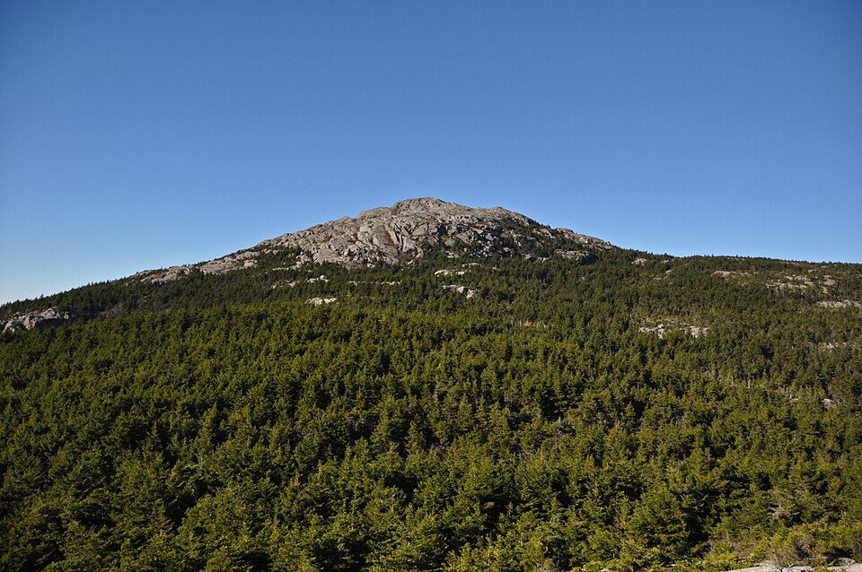 25 mi MountainMount Monadnock
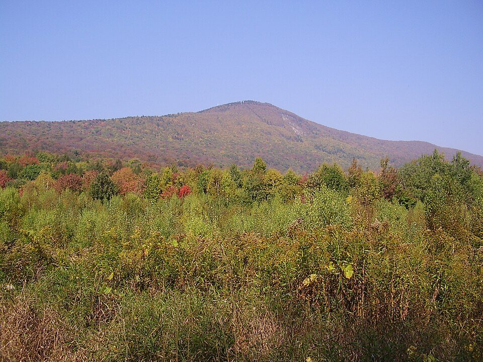 33 mi MountainMount Greylock
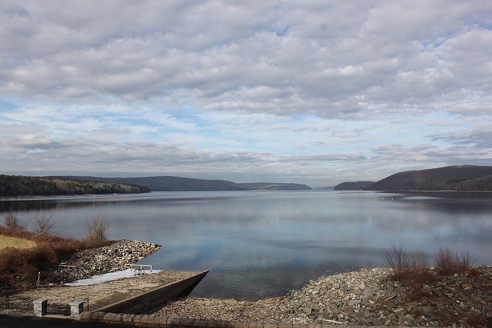 38 mi LakeQuabbin Reservoir
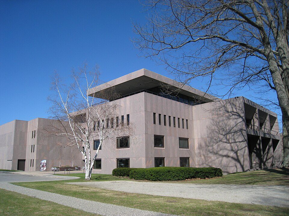 33 mi MuseumClark Art Institute
 17 mi Ski areaMount Snow119 runs · 1,648 ft vertical
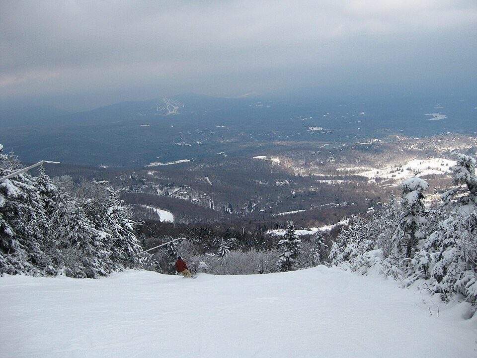 23 mi Ski areaStratton Mountain Resort106 runs · 1,899 ft vertical
Mount Monadnock: Jonwmcinenrey, CC BY-SA 4.0 · Mount Greylock: Jstergis, CC BY 3.0 · Quabbin Reservoir: engineerchange, CC BY 2.0 · Clark Art Institute: Daderot, Public domain · Mount Snow: William J Sisti from Morristown, NJ, USA, CC BY-SA 2.0 · Stratton Mountain Resort: Rudi Riet from Washington, DC, United States, CC BY-SA 2.0
2 within 15 miles of the center of West Brattleboro
About 4 of every 100 West Brattleboro residents are enrolled in college, against 7 across Vermont.
Census-designated place in Vermont, United States
West Brattleboro is a census-designated place (CDP) in the town of Brattleboro, Vermont, United States. As of the 2020 census, West Brattleboro had a population of 2,803.
From Wikipedia, licensed CC BY-SA 4.0 · facts via Wikidata (CC0)
Short answers, built from the data on this page.
We don’t grade West Brattleboro yet; the figures below are still real.


