Poultney in pictures
Census counts: 1,121 in 1790, 3,020 in 2020. The archive holds 4 old photos and papers going back to 1785 and 3 maps from 1895 on.
5 places on the National Register of Historic Places.
Explore the history →Each edition grades its towns against each other only.

A town of 2,962.
Poultney grades C+ overall, ranked 45th of 71 in Vermont, with clear strengths and some subjects that lag. It has 22 miles of trail. On the other side, the median household income is $73K, and 9% of residents live below the poverty line. History is its standout character grade: an A+, better than 97% of U.S. towns, with 5 places on the National Register. Poultney's civic life (library use, community groups, volunteering) is stronger than in 93% of U.S. towns. The biggest place to walk is Birdseye Wildlife Management Area, 1,783 acres with 6.2 miles of trail. Only 4 of the 71 Vermont towns we compare have a lower median age than Poultney.
Where Poultney beats most towns.
3,432 counted in 2010 and 3,020 in 2020; an estimated 2,962 in 2025.
U.S. Census 2010 & 2020 counts · Census Bureau estimate, July 1, 2025
Each subject compared with towns across the country (schools within Vermont), ordered by how far Poultney is from typical.
How TownRatings grades towns →
Census counts: 1,121 in 1790, 3,020 in 2020. The archive holds 4 old photos and papers going back to 1785 and 3 maps from 1895 on.
5 places on the National Register of Historic Places.
Explore the history →Who provides power, water and the rest in Poultney, and how to reach them.
EPA SDWIS (Oct 9, 2026) · HIFLD + EIA-861 2025 · Census 2020 ZCTAs · NCES 2024–25 · registration: vote.gov, updated Aug 3, 2026.
Ordered by what stands out in Poultney.
Poultney is healthier than towns with similar incomes and gets more snow than most of the country, though not than most of Vermont; it also has lost a quarter or more of its jobs in ten years.
Poultney’s density of trails comes in at 0.5 miles per square mile.
| Poultney | Vermont towns | U.S. towns | |
|---|---|---|---|
| Conserved land | 8.2% | 14% | 4.3% |
| Miles of trail per square mile | 0.5 miles per square mile | 0.6 | 0.4 |
| Biggest places to walk | Trails | Acres |
|---|---|---|
| 1. Birdseye Wildlife Management Area | 6.2 mi | 1,783 |
Trails & parks © OpenStreetMap contributors · Conserved land: USGS PAD-US
Of its 3 schools, two are listed below, each with the reason. The public schools here belong to the Quarry Valley Unified Union School District #70. 2 public schools serve Poultney, with 475 students in all.
| School | Level | Students | Letter |
|---|---|---|---|
| Poultney Elementary SchoolLargest public elementary schoolGrades PK–6 | Grades PK–6 | 267 | B− |
| Poultney High SchoolLargest public high schoolGrades 7–12 | Grades 7–12 | 208 | C |
NCES · EDFacts · graded within VT on state tests and graduation
Jobs based here fell from 915 in 2013 to 532.
Since 2013, Poultney has lost 383 jobs, to 532 in 2023. Most people who work leave Poultney to do it: just 13% work in town. Its typical journey to work stands at 29 minutes, where Vermont’s towns sit at 22 minutes and U.S. towns at 25 minutes. The top destinations are Rutland (20%), Castleton (6%) and Rutland (5%).
| Poultney | Vermont towns | U.S. towns | |
|---|---|---|---|
| Average trip to work | 29 minutes | 22 minutes | 25 minutes |
| Working residents who work in town | 13% | 16% | 8% |
| Work from home | 11% | 15% | 11% |
| Median household income | $73,000 | $81,000 | $80,000 |
Census LEHD 2023 · ACS
Among residents in Poultney, 18% are under 18. Adults 35 to 64 are 26% of residents (39% statewide); adults 18 to 34 are 33% of residents (22% statewide). A bachelor’s degree or higher: 36% of adults 25 and older, vs 44% across Vermont.
| Poultney | Vermont towns | U.S. towns | |
|---|---|---|---|
| Under 18 | 18% | 19% | 22% |
| Aged 65 or older | 23% | 22% | 18% |
| Bachelor’s degree or more, 25+ | 36% | 40% | 29% |
49% women, 51% men
That’s an even split within the survey’s margin of ±4.5 points. Across Vermont, 50.4% of residents are women. Among residents 18 to 24, 73% are men (VT 51%).
| Poultney | VT | U.S. | |
|---|---|---|---|
| Under 10 | 12% | 9.1% | 11.6% |
| 10 to 17 | 5.8% | 8.8% | 10.3% |
| 18 to 24 | 17.3% | 10% | 9.1% |
| 25 to 34 | 16% | 11.9% | 13.7% |
| 35 to 44 | 7% | 12.3% | 13.2% |
| 45 to 54 | 8.5% | 12% | 12.2% |
| 55 to 64 | 10.5% | 14.5% | 12.7% |
| 65 to 74 | 16.1% | 13% | 10.2% |
| 75 and older | 6.6% | 8.5% | 7% |
| No diploma | 6.1% | 5.1% | 10.4% |
| High school | 37.3% | 26.8% | 26% |
| Some college | 10.4% | 15.8% | 19.1% |
| Associate’s | 10.7% | 8.6% | 8.8% |
| Bachelor’s | 25.3% | 25.2% | 21.6% |
| Graduate | 10.2% | 18.6% | 14.1% |
U.S. Census Bureau · ACS 2020-2024 5-year estimates · in a town of 3,000, single groups can be off by several points
Against the 10,704 U.S. towns with household incomes like Poultney’s, it is healthier than 86%, so its B+ isn’t only a matter of income. Within Vermont it is less healthy than 70% of the 71 graded towns: Vermont sets a high bar.
For adults in Poultney, the share who had a checkup this year is 78%. This Vermont town does better than the Vermont average on 2 of 31 CDC measures and worse on 3. Among adults locally, 35% have obesity, above the Vermont town median (30%) and near the median of U.S. towns (35%).
| Poultney | Vermont towns | U.S. towns | |
|---|---|---|---|
| Sleep under 7 hours (CDC PLACES) | 30% | 30% | 36% |
| Obesity (CDC PLACES) | 35% | 30% | 35% |
| Food insecurity (CDC PLACES) | 7.6% | 9.5% | 14% |
| Depression (CDC PLACES) | 26% | 27% | 23% |
| What stands out | Poultney | VT |
|---|---|---|
| Fewer adults facing food insecurity | 7.6% | 9.2% |
| Fewer adults without reliable transportation | 5.5% | 6.4% |
| More adults with obesity | 35.4% | 28.6% |
CDC PLACES 2025 · modeled estimates for adults · CMS · HRSA
The Rutland weather station, 12 miles away, records that 75 inches of snow fall in a normal winter: more than most of the country, but less than 76% of Vermont places with climate records. July afternoons average 80.8°: cooler than most of the country, but hotter than 75% of Vermont places with climate records; January nights average 10.5°.
For Poultney, the January low is 11°F. The midsummer high locally is 81°F.
| Poultney | Vermont towns | U.S. towns | |
|---|---|---|---|
| January low | 11°F | 9°F | 22°F |
| July high | 81°F | 80°F | 85°F |
NOAA U.S. Climate Normals, 1991–2020
Expected damage from storms and floods is lower here than in 58% of U.S. communities. The national flood insurance program has paid 9 claims in Poultney since 2000. Federal aid has come to Poultney households in 5 declared disasters; the latest was in 2019.
FEMA disaster declarations and aid · FEMA flood insurance claims · FEMA National Risk Index · OpenFEMA
Museums, parks, gardens and other places to visit around Poultney. Close and well known come first.
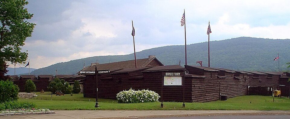
Big draw23 mi LandmarkFort Ticonderoga
19 mi LakeLake George
27 mi LandmarkFort William Henry
28 mi Theme parkGreat Escape
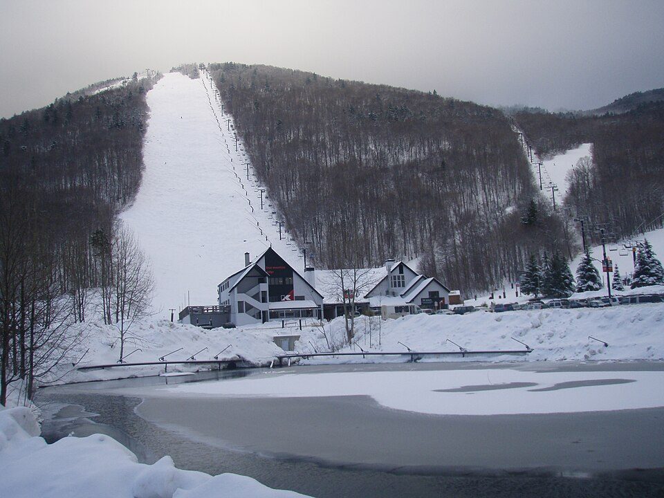
20 mi Ski areaKillington Resort184 runs · 3,031 ft vertical
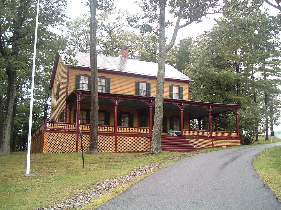
36 mi State parkGrant Cottage State Historic SiteFort Ticonderoga: Mwanner, CC BY-SA 3.0 · Lake George: Sixlocal, CC BY-SA 3.0 · Fort William Henry: IrisKawling at en.wikipedia, Public domain · Great Escape: Jared and Corin, CC BY-SA 2.0 · Killington Resort: NHRHS2010, CC BY-SA 3.0 · Grant Cottage State Historic Site: Coingeek at English Wikipedia, Public domain
None within 15 miles of Poultney; the nearest are
About 9 of every 100 Poultney residents are enrolled in college, against 7 across Vermont.
Where Poultney’s working residents go each day. Line width shows the share.
Census LEHD 2023
5 places in Poultney on the National Register of Historic Places.
Town in Vermont, United States
Poultney is a town in Rutland County in the southwestern part of the U.S. state of Vermont. New York is on its western border. Castleton, Vermont, is on its northern border. Poultney was home to Green Mountain College, a private liberal arts college that closed in 2019. The Village of Poultney is entirely within the town. The town population was 3,020 at the 2020 census. Poultney was charted on September 21, 1761, named for William Pulteney, 1st Earl of Bath, a British politician and orator. Bath was the founder of the political faction known as the Patriot Whigs, in opposition to the government of Robert Walpole.
From Wikipedia, licensed CC BY-SA 4.0 · facts via Wikidata (CC0)
6 towns share a border with Poultney.
| Town | VT rank | Overall | Cost | Safety | Schools | Health |
|---|---|---|---|---|---|---|
| Poultney | #45 | C+ | B− | — | C+ | B+ |
| Castleton | #15 | A− | C− | A+ | B | A− |
| Middletown Springs | — | — | — | — | — | — |
| Fair Haven | #44 | C+ | C+ | C+ | B | B− |
| Wells | — | — | C | — | C+ | B+ |
| Ira | — | — | — | — | — | — |
Wells has fewer than 2,500 residents, so it gets subject grades but no overall grade. Poultney and Wells report no FBI crime data of their own. Middletown Springs and Ira aren’t graded (fewer than 1,000 residents, or not enough data). Compare Poultney with a neighbor →
Short answers, built from the data on this page.
Poultney grades C+ overall, better than 37% of U.S. towns and #45 of 71 in Vermont. It grades B+ for health and C+ for schools. Jobs & income is its weak spot, with a C−.
Cost of living, which also weighs rents, property taxes and how many households pay 30% or more of their income for housing, grades B−.