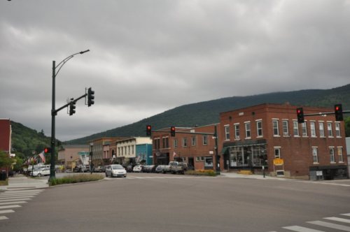
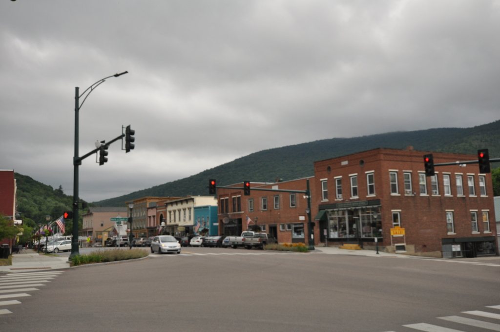
264 years in pictures
Census counts: 211 in 1790, 3,782 in 2020. The archive holds 28 old photos and papers going back to 1865 and 4 maps from 1903 on.
1 place on the National Register of Historic Places.
- 1762Bristol is settled
Each edition grades its towns against each other only.

For most people who can afford it, yes. Bristol grades A overall, 7th among Vermont's 71 graded towns. It reports less crime per resident than 90% of U.S. towns. It is healthier than 89% of U.S. towns and its schools outperform 77% of the state's. The trade-off is money: homes are expensive, about $384K for a typical one and 4.3 times the county’s $90K median household income. History is its standout character grade: an A, better than 94% of U.S. towns, with 1 place on the National Register. 30% of the land in Bristol is conserved, above both the Vermont town median (14%) and the median of U.S. towns (4.3%). Green Mountain National Forest, at 5,479 acres with 2.6 miles of trail, is the biggest park or preserve. Bristol's civic life (library use, community groups, volunteering) is stronger than in 92% of U.S. towns.
Where Bristol beats most towns.
Bristol Downtown Historic DistrictCensus counts: 211 in 1790, 3,782 in 2020. The archive holds 28 old photos and papers going back to 1865 and 4 maps from 1903 on.
1 place on the National Register of Historic Places.
Each subject compared with towns across the country (schools within Vermont), ordered by how far Bristol is from typical.
How TownRatings grades towns →
Who provides power, water and the rest in Bristol, and how to reach them.
EPA SDWIS (Oct 9, 2026) · HIFLD + EIA-861 2025 · Census 2020 ZCTAs · NCES 2024–25 · registration: vote.gov, updated Aug 3, 2026.
Ordered by what stands out in Bristol.
Bristol gets more snow than nearly all U.S. towns and sees little violent crime.
Violent crime is rare: 3 reported in 2025, 0.8 per 1,000 residents.
Bristol’s level of property crime comes in at 2.6 per 1,000 residents. In Bristol, the violent offense rate is 0.8 per 1,000 residents, against 1.8 in Vermont’s towns and 1.6 across U.S. towns.
| Bristol | Vermont towns | U.S. towns | |
|---|---|---|---|
| Property crimes per 1,000 (2025) | 2.6 per 1,000 residents | 14.2 | 9.9 |
| Violent crimes per 1,000 (2025) | 0.8 per 1,000 residents | 1.8 | 1.6 |
FBI crime data, 2025 · crimes reported to police
Two of its 3 schools are below, each with the reason it’s listed. The largest public high school is Mt. Abraham Union High School, with 560 students. Public schools: the Mt. Abraham Unified School District #61.
| School | Level | Students | Letter |
|---|---|---|---|
| Bristol Elementary SchoolLargest public elementary schoolGrades PK–6 | Grades PK–6 | 284 | B |
| Mt. Abraham Union High SchoolLargest public high schoolGrades 7–12 | Grades 7–12 | 560 | B− |
NCES · EDFacts · graded within VT on state tests and graduation
Two figures for adults in Bristol: 18% get no exercise outside work, 15% report frequent mental distress. Among 71 Vermont towns, just 7 have a lower share of adults who have been diagnosed with depression than Bristol. Bristol: nearly one in ten adults have diabetes.
| Bristol | Vermont towns | U.S. towns | |
|---|---|---|---|
| Diabetes (CDC PLACES) | 8.5% | 9.1% | 12% |
| Get no exercise (CDC PLACES) | 18% | 19% | 25% |
| Frequent mental distress (CDC PLACES) | 15% | 16% | 17% |
| Obesity (CDC PLACES) | 29% | 30% | 35% |
| What stands out | Bristol | VT |
|---|---|---|
| Fewer adults facing food insecurity | 8.1% | 9.2% |
CDC PLACES 2025 · modeled estimates for adults · CMS · HRSA
24 miles of trail in 5 parks and preserves. In Bristol, the trail network density is 0.6 miles per square mile.
| Biggest places to walk | Trails | Acres |
|---|---|---|
| 1. Green Mountain National Forest | 2.6 mi | 5,479 |
| 2. Deer Leap Natural Area | 0.5 mi | 109 |
| 3. Bristol Cliffs Wilderness | 0.2 mi | 3,549 |
Trails & parks © OpenStreetMap contributors · Conserved land: USGS PAD-US
Between 2013 and 2023, jobs in Bristol rose by 148, to 1,054. Half commute less than 18 miles. The top destinations are Middlebury (19%), Burlington (8%) and South Burlington (8%).
| Bristol | Vermont towns | U.S. towns | |
|---|---|---|---|
| Working residents who work in town | 15% | 16% | 8% |
| Average trip to work | 25 minutes | 22 minutes | 25 minutes |
| Median household income | $75,000 | $81,000 | $80,000 |
Census LEHD 2023 · ACS
The Waitsfield 2 W weather station, 10 miles away, records that 118 inches of snow fall in a normal winter, more than in 98% of U.S. towns.
Bristol’s midsummer high stands at 78°F.
NOAA U.S. Climate Normals, 1991–2020
For residents in Bristol, the share who are under 18 is 13%. Adults 35 to 64 are 46% of residents (39% statewide); children under 18 are 13% of residents (18% statewide). In Bristol, the median age is 47.9 years. 42% of adults 25 and older have a bachelor’s degree or more, vs 44% across Vermont.
| Bristol | Vermont towns | U.S. towns | |
|---|---|---|---|
| Under 18 | 13% | 19% | 22% |
| Median age | 47.9 years | 43.7 years | 40.5 years |
| Bachelor’s degree or more, 25+ | 42% | 39% | 29% |
| Aged 65 or older | 22% | 22% | 18% |
50% women, 50% men
That’s an even split within the survey’s margin of ±4.6 points. Across Vermont, 50.4% of residents are women.
| Bristol | VT | U.S. | |
|---|---|---|---|
| Under 10 | 5.7% | 9.1% | 11.6% |
| 10 to 17 | 7% | 8.8% | 10.3% |
| 18 to 24 | 5.6% | 10% | 9.1% |
| 25 to 34 | 13.3% | 11.9% | 13.7% |
| 35 to 44 | 14.9% | 12.3% | 13.2% |
| 45 to 54 | 12.7% | 12% | 12.2% |
| 55 to 64 | 18.8% | 14.5% | 12.7% |
| 65 to 74 | 14% | 13% | 10.2% |
| 75 and older | 7.9% | 8.5% | 7% |
| No diploma | 3% | 5.1% | 10.4% |
| High school | 30.8% | 26.8% | 26% |
| Some college | 16.1% | 15.8% | 19.1% |
| Associate’s | 8.2% | 8.6% | 8.8% |
| Bachelor’s | 27.1% | 25.2% | 21.6% |
| Graduate | 14.7% | 18.6% | 14.1% |
U.S. Census Bureau · ACS 2020-2024 5-year estimates · in a town of 3,800, single groups can be off by several points
Compared with 66% of U.S. communities, expected storm and flood damage in Bristol is lower. FEMA puts 73% of the town’s expected hazard losses down to inland flooding, and 8% to cold waves. Federal disaster aid has reached households in Bristol after 10 declared disasters, most recently in 2024.
FEMA disaster declarations and aid · FEMA National Risk Index · OpenFEMA
Homes in Bristol are typically worth about $384,000, down 1.2% in a year, close to the Vermont typical home. In Bristol, 71% of households are owner-occupiers. For Bristol, the rent at the middle of the market is $1,275 a month.
| Bristol | Vermont towns | U.S. towns | |
|---|---|---|---|
| Median rent | $1,275 a month | $1,133 a month | $1,185 a month |
| Households that own their home | 71% | 75% | 73% |
Census ACS, 2020–24 · Zillow Home Value Index · Redfin Data Center
Museums, parks, gardens and other places to visit around Bristol. Close and well known come first.
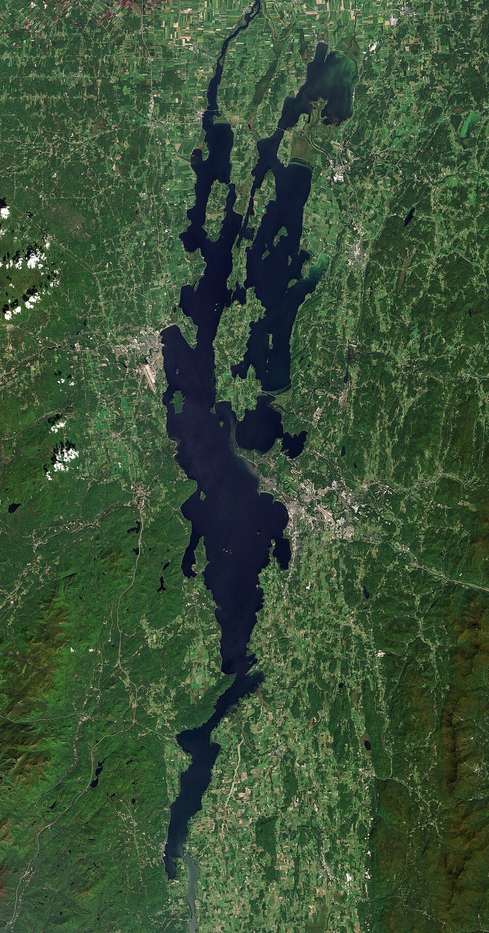
Big draw33 mi LakeLake Champlain
Big draw24 mi LandmarkFort Ticonderoga
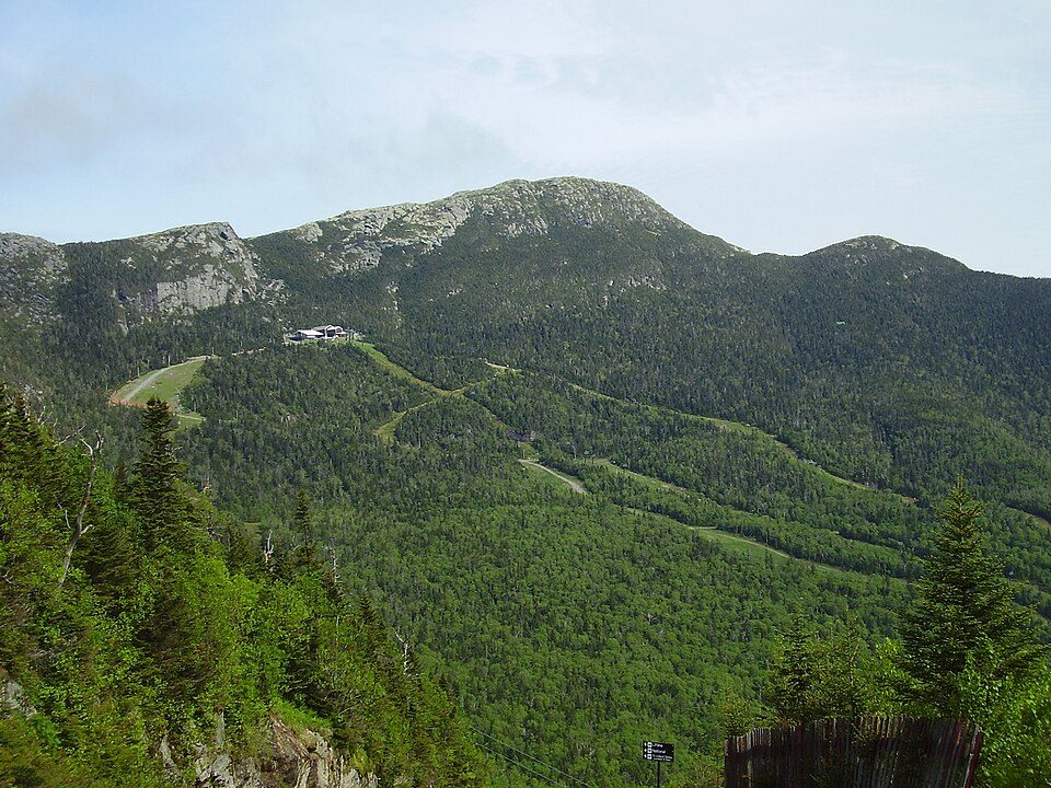
33 mi MountainMount Mansfield
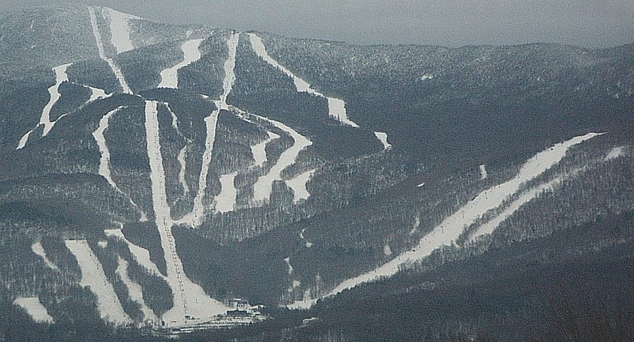
8 mi Ski areaSugarbush Resort142 runs · 2,569 ft vertical
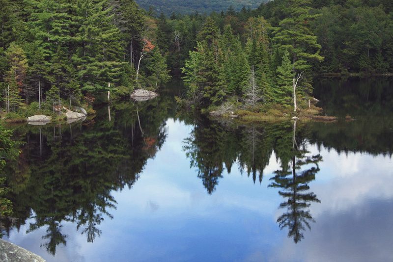
10 mi National forestGreen Mountain National Forest
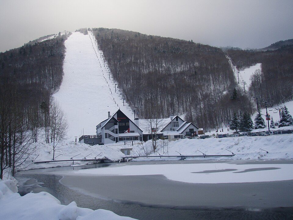
36 mi Ski areaKillington Resort184 runs · 3,031 ft verticalLake Champlain: Copernicus Sentinel-2, ESA, CC BY-SA 3.0 igo · Fort Ticonderoga: Mwanner, CC BY-SA 3.0 · Mount Mansfield: Original uploader was Calzarette (Joe Calzarette) at en.wikipedia, Public domain · Sugarbush Resort: Mrtrek1701 at English Wikipedia, CC BY-SA 3.0 · Green Mountain National Forest: Brian W. Schaller, FAL · Killington Resort: NHRHS2010, CC BY-SA 3.0
1 within 15 miles of the center of Bristol
About 5 of every 100 Bristol residents are enrolled in college, against 7 across Vermont.
Where Bristol’s working residents go each day. Line width shows the share.
Census LEHD 2023
Town in Vermont, United States
Bristol is a town in Addison County, Vermont, United States. The town was chartered on June 26, 1762, by the colonial governor of New Hampshire, Benning Wentworth. The charter was granted to Samuel Averill and sixty-three associates in the name of Pocock—in honor of a distinguished English admiral of that name. The population was 3,782 at the 2020 census. Main Street is home to most of the businesses of the town. The town is also home to the Lord's Prayer Rock.
From Wikipedia, licensed CC BY-SA 4.0 · facts via Wikidata (CC0)
6 towns share a border with Bristol.
| Town | VT rank | Overall | Cost | Safety | Schools | Health |
|---|---|---|---|---|---|---|
| Bristol | #7 | A | C− | A | A− | A |
| New Haven | — | — | C− | — | A− | A |
| Lincoln | — | — | B− | — | — | A |
| Middlebury | #22 | B+ | C− | B | B | A |
| Starksboro | — | — | C | — | A− | A |
| Ripton | — | — | — | — | — | — |
| Monkton | — | — | C+ | — | A− | A |
New Haven, Lincoln, Starksboro and Monkton have fewer than 2,500 residents, so they get subject grades but no overall grade. New Haven, Lincoln, Starksboro and Monkton report no FBI crime data of their own. Ripton isn’t graded (fewer than 1,000 residents, or not enough data). Compare Bristol with a neighbor →
Short answers, built from the data on this page.
For most people who can afford it, yes. Bristol grades A overall, better than 87% of U.S. towns and #7 of 71 in Vermont. It grades A for health, A for safety and A− for schools. Cost of living is its weak spot, with a C−.
Yes. Cost of living, which also weighs rents, property taxes and how many households pay 30% or more of their income for housing, grades C−.