TownRatings is an independent guide to where people live. For each town it covers, it shows what life costs, how safe it is, how its schools and health compare, and its hazards and history, counted from the records public agencies publish.
What each one measures, whose records it reads, and where to see the towns that lead it.
Safety
Recorded crime per resident, averaged over three years so one bad year doesn’t decide the grade. Every town is ranked against the rest of its own country.
USFBI crime reportsUKpolice.uk street-level crimeFRSSMSI, the Interior Ministry’s statistics service
What a typical home and a month’s rent cost against what households around the town earn, along with property tax where it’s published. A wealthy suburb isn’t called cheap just because its own residents earn more.
USCensus surveys and ZillowUKHM Land Registry sales and ONS rentsFRDVF property sales and the national rent map
Outcomes, not hospital counts: how healthy adults say they are, how long people live, or deaths adjusted for age, depending on what each country publishes.
USCDC PLACES estimatesUKONS life expectancyFRINSEE deaths by commune
Whether daily errands can be done on foot: street layout and the shops and services close by, plus how many people walk, cycle or ride transit to work.
USthe EPA walkability indexUKcensus travel to workFRINSEE’s amenities base
Thirty-year averages for every town, from winter nights to summer afternoons, plus a live forecast. Climate is a matter of taste, so it is described, never graded.
USNOAA climate normalsUKthe Met OfficeFRMétéo-France
A town is ranked only against towns in its own edition, and only among towns big enough for an overall grade (United States: 10,000+ residents; United Kingdom: 2,500+ residents; France: 2,500+ residents). When an edition’s grades are rebuilt, every one of its lists is ranked again. A grade says how well a town does on its own measures; a rank says where it stands against the others. How grades work explains the letters behind both.
42 national lists (overall, by subject and by size) and 2,096 for states, counties and départements.
Its home, a page for each of the 12 subjects (jobs and walkability share one), and pages of their own for homes for sale, attractions, the forecast and more.
The records in our database today, counted, then every public data set behind each subject as the method pages name them.
Crimes in police records
45.8 million
US 21.5 million · UK 14.1 million · FR 10.2 million
Property sales
32.6 million
UK 28.1 million · FR 4.5 million
Schools
214,412
US 123,512 · UK 23,522 · FR 67,378
Listed buildings and monuments
420,602
US 94,120 · UK 277,346 · FR 49,136
Census tracts and small areas
307,791
US 72,548 · UK 235,243
Town photos
32,863
US 21,083 · UK 7,307 · FR 4,473
Safety
USFBI Uniform Crime Reporting, offenses known to law enforcement21.5 million crimes on record
UKpolice.uk street-level crime, 36 months to August 202614.1 million crimes on record
FRSSMSI, crime recorded by the police and gendarmerie by commune (base communale), 2023 to 2025INSEE populations10.2 million crimes on record
Schools
USU.S. Department of Education (EDFacts), via ED Data Express: state tests from spring 2022 (the newest district results the Department has published) and the class of 2023 graduation rateolder districts fall back to spring 2021123,512 schools
UKDepartment for Education performance tables (via Explore Education Statistics) and Get Information About SchoolsDepartment of Education (Northern Ireland), examination performance at post-primary schools 2024/2523,522 schools
FRMinistry of Education (DEPP): brevet and bac results 2025 with IVAC and IVAL value addeddirectory of schoolsIPS 2024–202567,378 schools
Health
USCDC PLACES
UKONS, health state life expectancy for middle-layer areas, England and Wales, 2019 to 2023 (July 2026)Office for Health Improvement and Disparities (Fingertips, middle-layer areas)ONS Census 2021NISRA life expectancy by district electoral area (2022 to 2024) and NISRA Census 2021
FRINSEE deaths by commune of residence, 2016–2025INSEE census populationsEurostat death rates for FranceINSEE equipment base (BPE 2025, care-home places)DREES (APL care access)Santé publique France (Odissé)INSEE life expectancy by département
Cost of living
USCensus American Community SurveyZillow Home Value Index for current prices
UKHM Land Registry Price Paid (September 2023 to August 2026)ONS Price Index of Private RentsMHCLG and Welsh Government council tax, 2026–27ONS small-area income estimates (financial year ending 2023)NISRA / Land & Property Services ward sale pricesLand & Property Services rates and Department of Finance poundagesONS regional gross disposable household income28.1 million sales on record
FRDGFiP DVF (geolocated, Etalab), sales July 2023 to June 2026ANIL/DHUP rent map 2025INSEE Filosofi 2023 (median disposable income per consumption unit, by intercommunality)DGFiP REI4.5 million sales on record
Jobs & income
USCensus American Community Survey (5-year estimates)EPA Smart Location Database (job access by car, compared across towns rather than printed as a count)
UKONS small-area income estimatesDWP claimant count (Nomis), January to August 2026English Indices of Deprivation 2025 and Welsh Index of Multiple Deprivation 2025DfT Transport Connectivity Metric 2025
FRINSEE Filosofi 2023INSEE census 2023 (employment, jobs at place of work)
Walkability
USEPA Smart Location DatabaseCensus American Community Survey
UKONS and NISRA Census 2021, method of travel to work
FRINSEE equipment base (BPE 2025, geolocated)INSEE Filosofi 2021 200 m gridINSEE census 2023, means of transport to work
Hazard risk
USFEMA National Risk Index (v1.20), census tracts
UKEnvironment Agency National Flood Risk Assessment (NaFRA2)Natural Resources Wales Flood Risk Assessment WalesOrdnance Survey and ONS address and household counts
History, outdoors & civic life
USIMLS Public Libraries SurveyIRS Exempt Organizations Business Master FileSocial Capital Atlas (Opportunity Insights), from data by Meta Platforms, IncChetty et al., Nature 202294,120 listed places
UKHistoric England and CadwValuation Office AgencyOrdnance Survey Open GreenspaceNatural England and Natural Resources WalesOpenStreetMapCharity Commission for England and Wales277,346 listed places
Colleges
USU.S. Department of Education College Scorecard and IPEDSCensus American Community Survey (students, poverty without students)
Climate
USNOAA NCEI U.S. Climate Normals, 1991–2020 (gridded and station normals)USDA Plant Hardiness Zone Map, 2023
Every sources line, by edition
United States
Safety. Source: FBI Uniform Crime Reporting, offenses known to law enforcement.
Schools. Source: U.S. Department of Education (EDFacts), via ED Data Express: state tests from spring 2022 (the newest district results the Department has published) and the class of 2023 graduation rate; older districts fall back to spring 2021.
Health. Source: CDC PLACES. These are modeled estimates: CDC applies national survey answers to each area's population. Small towns and ZIP-based towns can share or blur estimates; their pages say so.
Cost of living. Sources: Census American Community Survey; Zillow Home Value Index for current prices.
Jobs and income. Sources: Census American Community Survey (5-year estimates); EPA Smart Location Database (job access by car, compared across towns rather than printed as a count).
Walkability. Sources: EPA Smart Location Database; Census American Community Survey.
Hazard risk. Source: FEMA National Risk Index (v1.20), census tracts.
Outdoors, history and civic life. Sources: IMLS Public Libraries Survey; IRS Exempt Organizations Business Master File; Social Capital Atlas (Opportunity Insights), from data by Meta Platforms, Inc.; Chetty et al., Nature 2022.
Colleges. Sources: U.S. Department of Education College Scorecard and IPEDS; Census American Community Survey (students, poverty without students).
Climate. Sources: NOAA NCEI U.S. Climate Normals, 1991–2020 (gridded and station normals); USDA Plant Hardiness Zone Map, 2023.
United Kingdom
Safety. Source: police.uk street-level crime, 36 months to August 2026. Locations are moved to the nearest of a set of anonymous points, so crimes near a town’s edge can fall either side of it.
Schools. Sources: Department for Education performance tables (via Explore Education Statistics) and Get Information About Schools; Department of Education (Northern Ireland), examination performance at post-primary schools 2024/25.
Health. Sources: ONS, health state life expectancy for middle-layer areas, England and Wales, 2019 to 2023 (July 2026); Office for Health Improvement and Disparities (Fingertips, middle-layer areas); ONS Census 2021; NISRA life expectancy by district electoral area (2022 to 2024) and NISRA Census 2021.
Cost of living. Sources: HM Land Registry Price Paid (September 2023 to August 2026); ONS Price Index of Private Rents; MHCLG and Welsh Government council tax, 2026–27; ONS small-area income estimates (financial year ending 2023); NISRA / Land & Property Services ward sale prices; Land & Property Services rates and Department of Finance poundages; ONS regional gross disposable household income.
Jobs & income. Sources: ONS small-area income estimates; DWP claimant count (Nomis), January to August 2026; English Indices of Deprivation 2025 and Welsh Index of Multiple Deprivation 2025; DfT Transport Connectivity Metric 2025.
Walkability. Sources: ONS and NISRA Census 2021, method of travel to work.
Flood risk. Sources: Environment Agency National Flood Risk Assessment (NaFRA2); Natural Resources Wales Flood Risk Assessment Wales; Ordnance Survey and ONS address and household counts.
History, outdoors & civic life. Sources: Historic England and Cadw; Valuation Office Agency; Ordnance Survey Open Greenspace; Natural England and Natural Resources Wales; OpenStreetMap; Charity Commission for England and Wales.
France
Safety. Source: SSMSI, crime recorded by the police and gendarmerie by commune (base communale), 2023 to 2025; INSEE populations.
Schools. Source: Ministry of Education (DEPP): brevet and bac results 2025 with IVAC and IVAL value added; directory of schools; IPS 2024–2025.
Health. Sources: INSEE deaths by commune of residence, 2016–2025; INSEE census populations; Eurostat death rates for France; INSEE equipment base (BPE 2025, care-home places); DREES (APL care access); Santé publique France (Odissé); INSEE life expectancy by département.
Cost of living. Sources: DGFiP DVF (geolocated, Etalab), sales July 2023 to June 2026; ANIL/DHUP rent map 2025; INSEE Filosofi 2023 (median disposable income per consumption unit, by intercommunality); DGFiP REI.
Jobs & income. Sources: INSEE Filosofi 2023; INSEE census 2023 (employment, jobs at place of work).
Walkability. Sources: INSEE equipment base (BPE 2025, geolocated); INSEE Filosofi 2021 200 m grid; INSEE census 2023, means of transport to work.
Independent
Completely independent grading
No town, council, business or advertiser pays to be listed, ranked or left out, and none can change a grade. Grades move only when the data or the method does, and the method is published.
Built and run by Jamie Cullinane.
Corrections
Found an error?
If something on a page is wrong, tell us through the contact form, which opens on data corrections. Say which page, what it shows and what it should show, with a source if you have one.
We check every report against the official record. Where we made the mistake, we fix it. Where the official data says what the page says, the page keeps the official figure as published and names where it comes from.
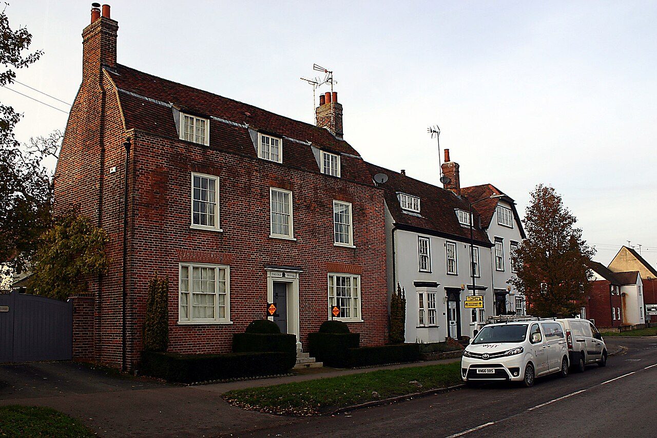
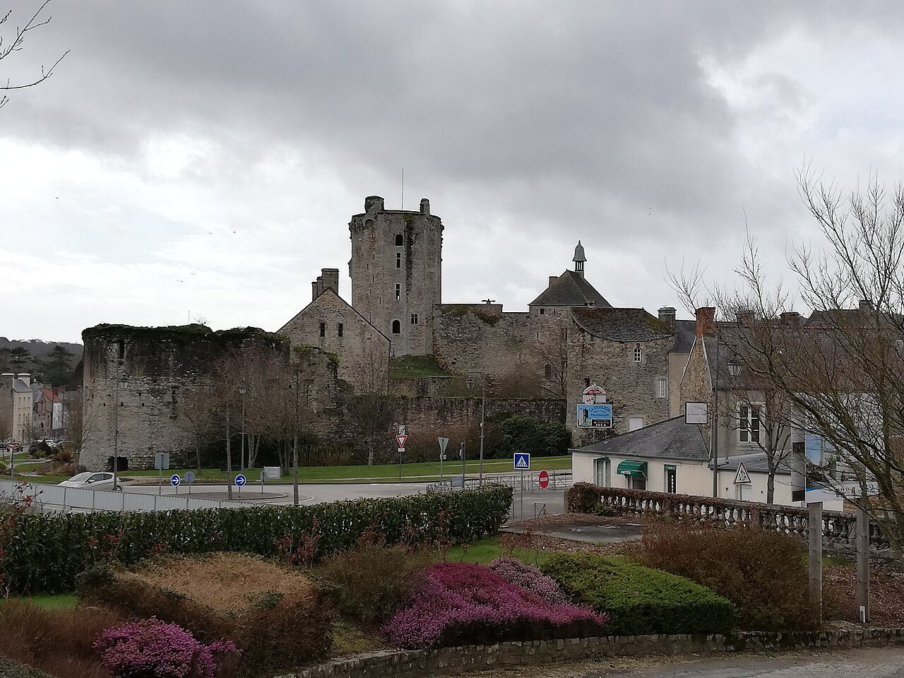
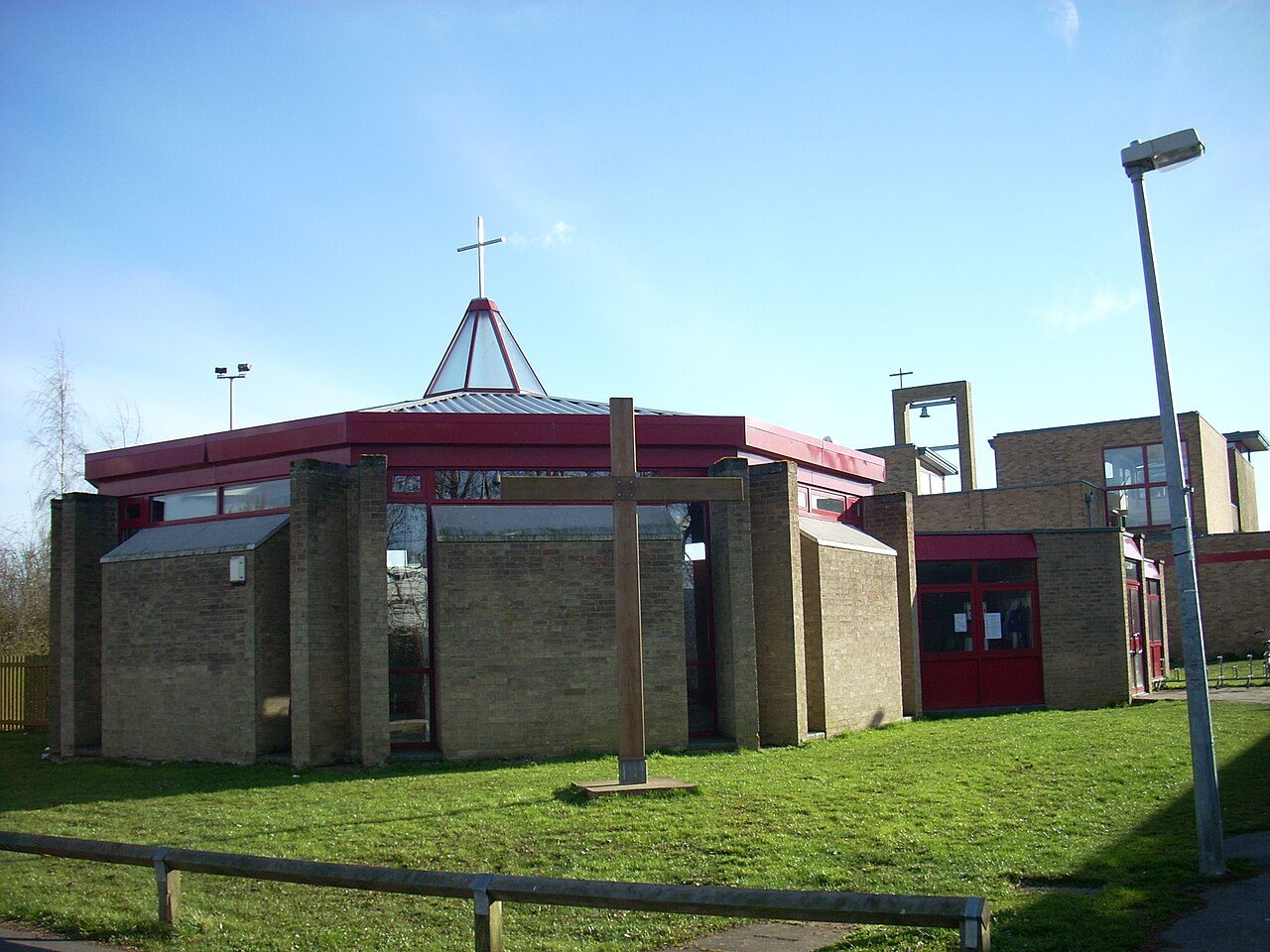
Lake Forest, IL (Photo: Teemu08 · CC BY-SA 3.0); Rocky River, OH (Photo: Ken Winters, U.S. Army Corps of Engineers · Public domain); Newport (Photo: David Kemp · CC BY-SA 2.0); Histon and Impington (Photo: Martin Tester · CC BY-SA 2.0); Bricquebec-en-Cotentin (Photo: Xfigpower · CC BY-SA 4.0); Bar Hill (Photo: Cruccone · CC BY 3.0); Campton Hills, IL (Photo: Teemu008 from Palatine, Illinois · CC BY-SA 2.0); Seer Green (Photo: Mark Percy · CC BY-SA 2.0); Givry (Photo: GO69 · CC BY-SA 4.0)