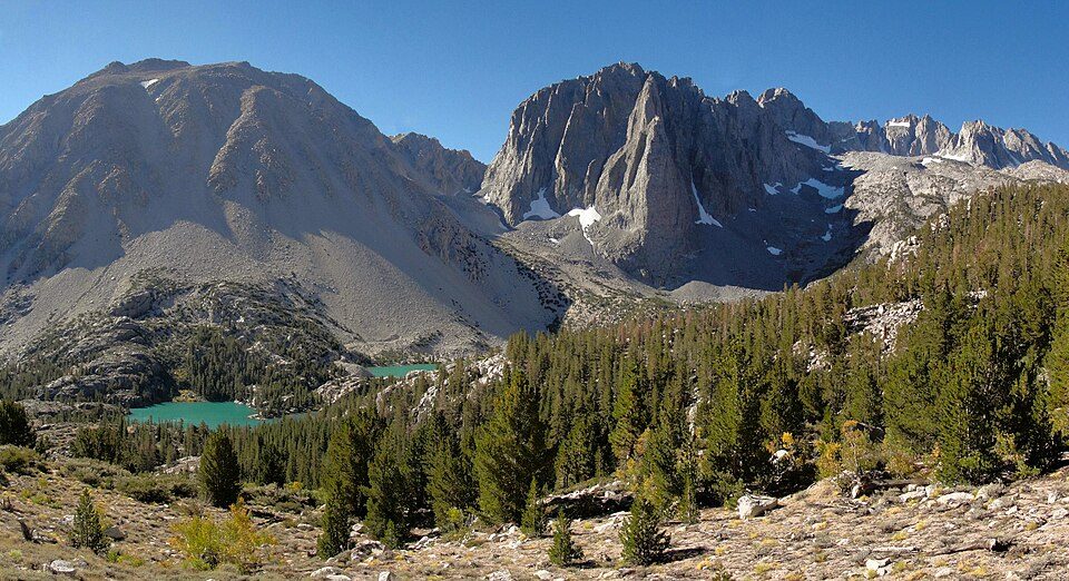
Yosemite National Park
National park in California, United States.
Each edition grades its towns against each other only.
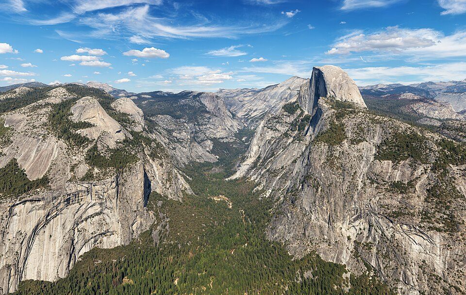
McGee Creek has 30 notable places within 60 miles, among them 4 national park units and 3 ski areas. Roughly 4.3M visitors a year make it to Yosemite National Park. Out of town, Half Dome is 42 mi away.
National park in California, United States.
The towns around it, and where to stay →
The list reaches out to Inyo National Forest, 34 mi away.
Orange: McGee Creek. Numbers: the best-known places, matching the list below. © OpenStreetMap contributors
All of it lies within 60 miles: 30 places.
National park in California, United States.
National park in California and Nevada in the United States.
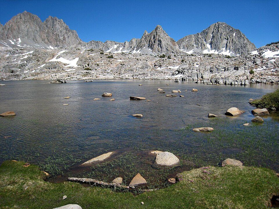
National park in the Sierra Nevada mountains in California, USA.
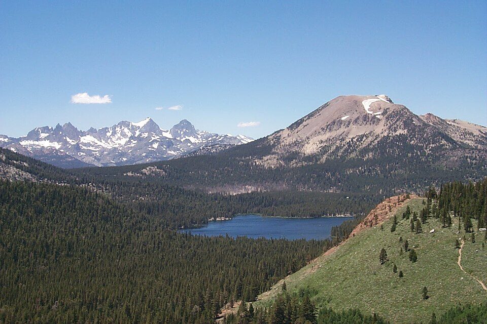
Mountain in the Sierra Nevada of California, home to a ski resort.
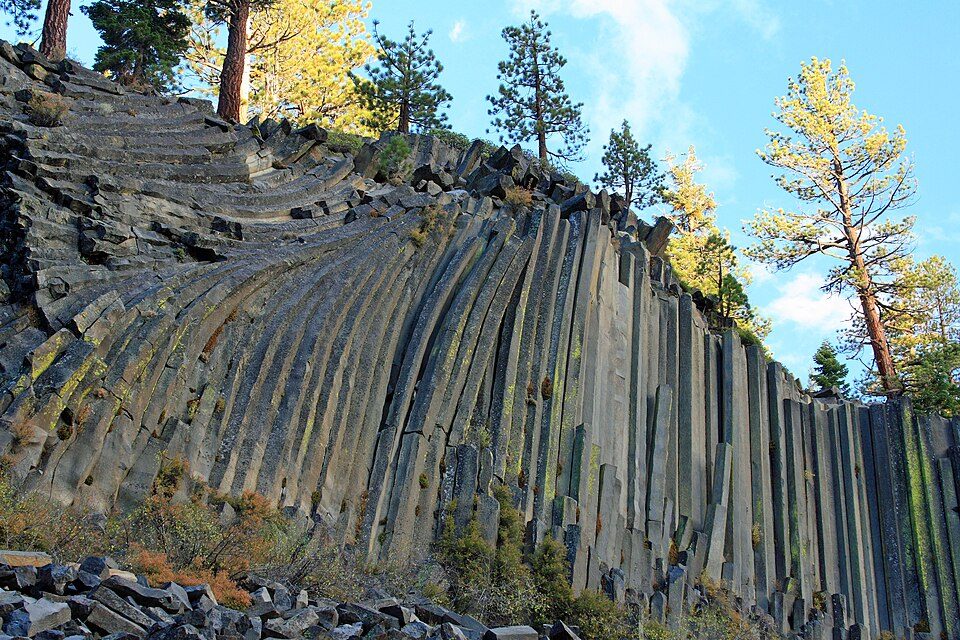
National monument in California, USA.
National forest in California and Nevada, United States.
Place in California listed on National Register of Historic Places.
Place in California listed on National Register of Historic Places.
Point in Yosemite National Park at the eastern end of the valley.
Ranked by how many people look them up, so the famous places lead and the local favorites follow.
Parks and trails in McGee Creek →
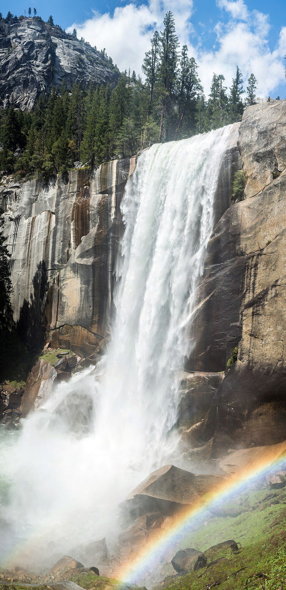
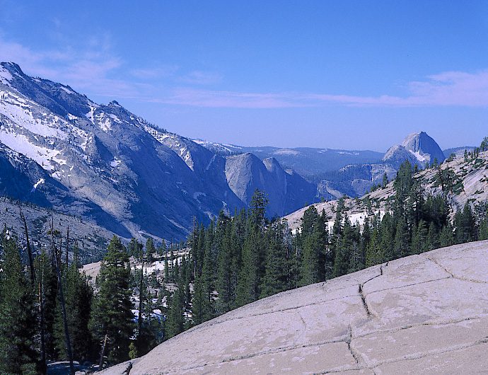
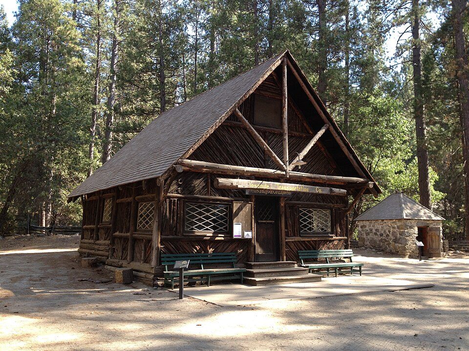
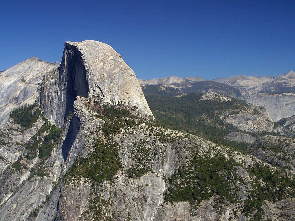
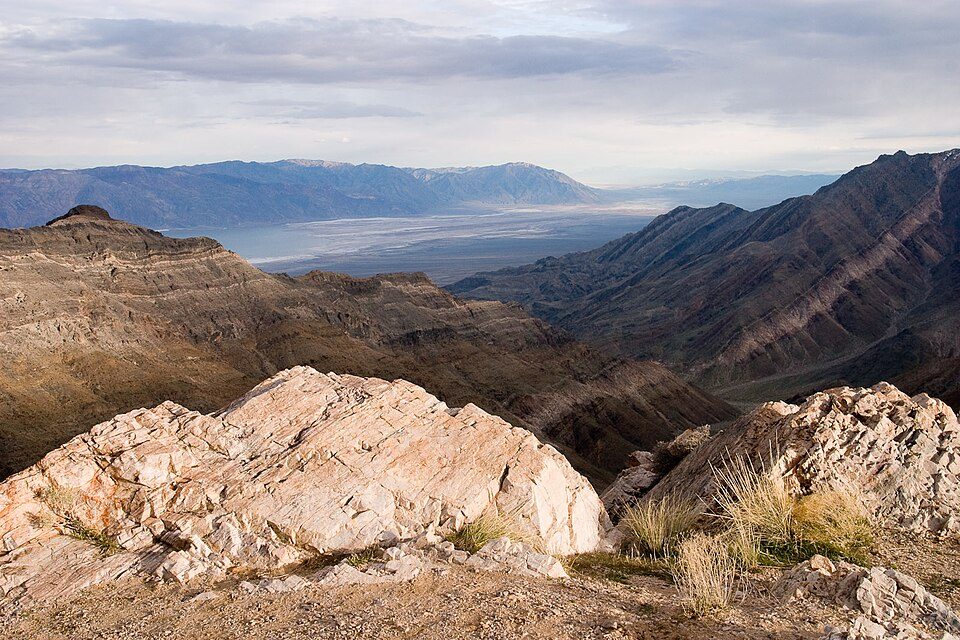
Yosemite National Park: Thomas Wolf, www.foto-tw.de, CC BY-SA 3.0 · Half Dome: Jon Sullivan, Public domain · Death Valley National Park: Greg Willis from Denver, CO, usa, CC BY-SA 2.0 · Mono Lake: File:Mono lake sat.jpg: created by NASA Rotation and crop: Hike395, Public domain · Kings Canyon National Park: NileGuide.com (Josh Steinitz), CC BY 2.0 · Mammoth Mountain: Hike395 (talk · contribs), CC BY 3.0 · Devils Postpile National Monument: Frank Kovalchek from Anchorage, Alaska, USA, CC BY 2.0 · Yosemite Falls: King of Hearts, CC BY-SA 4.0 · White Mountain Peak: JonathanLamb (talk · contribs), CC BY 3.0 · Convict Lake: The original uploader was Geographer at English Wikipedia., CC BY 1.0 · Inyo National Forest: Cullen328, CC BY 3.0 · Glacier Point: Tuxyso, CC BY-SA 3.0 · Taft Point: Dave from San Jose, CA, USA, CC BY 2.0 · Ansel Adams Wilderness: Hike395 (talk · contribs), CC BY 3.0 · Sierra National Forest: Smack (talk · contribs), Public domain · Horsetail Fall: Ambitious Wench, CC BY-SA 2.0 · John Muir Wilderness: Miguel.v, CC BY-SA 3.0 · Yosemite Mountain Sugar Pine Railroad: Bobtalbot61, CC BY-SA 3.0 · Tunnel View: Amysey, CC BY-SA 4.0 · Vernal Fall: Diliff, CC BY-SA 3.0 · Nevada Fall: self, Public domain · Bridalveil Fall: Walter Siegmund (talk · contribs), CC BY 2.5 · June Mountain: Frank K. from Anchorage, Alaska, USA, CC BY 2.0 · Olmsted Point: Eeekster, CC BY 3.0 · Mariposa Grove Museum: Kevin R Foote, CC BY-SA 3.0 · Yosemite Museum: Almonroth, CC BY-SA 3.0 · Glacier Point Trailside Museum: Wearsunscreen, CC BY-SA 3.0 · Sierra Point: Wingchi Poon, CC BY-SA 3.0 · Yosemite History Center: Wearsunscreen, CC BY-SA 3.0
 2
 3
 4
 5
 6
 7
 8
 9
 10
 11
 12
 13
 14