
A Cold Dinner, 2009
McGee Creek’s story
McGee Creek in pictures
The archive holds 11 old photos and papers going back to 2009 and 3 maps from 1953 on.
Explore the history →Each edition grades its towns against each other only.
A town.
McGee Creek’s July high is 80°F, against 89°F in California’s towns and 85°F across U.S. towns. Among 847 California towns, just 1 have a lower January low than McGee Creek. 88% of the land in McGee Creek is conserved, against 4.3% in California’s towns and 4.3% across U.S. towns. We don’t grade McGee Creek yet; the figures below are still real.
The archive holds 11 old photos and papers going back to 2009 and 3 maps from 1953 on.
Explore the history →McGee Creek is unincorporated, so Mono County and regional agencies provide most services.
EPA SDWIS (Oct 9, 2026) · HIFLD + EIA-861 2025 · Census 2020 ZCTAs · NCES 2024–25 · registration: vote.gov, updated Nov 18, 2024.
Ordered by what stands out in McGee Creek.
7.0 miles of trail in 0 parks and preserves. McGee Creek’s trail density is 1.8 miles per square mile.
Trails & parks © OpenStreetMap contributors · Conserved land: USGS PAD-US
Expected storm and flood damage is higher than in 89% of U.S. communities.
FEMA National Risk Index · OpenFEMA
McGee Creek has chilly winters and pleasant summers, with very little rain. July afternoons reach 80° and January nights drop to 19°.
NOAA U.S. Climate Normals, 1991–2020
20% of adults binge drink in McGee Creek. McGee Creek beats the California average on 10 of 32 CDC measures and trails it on 2. 34% of adults sleep under 7 hours in McGee Creek.
| McGee Creek | California towns | U.S. towns | |
|---|---|---|---|
| Binge drink (CDC PLACES) | 20% | 16% | 16% |
| Yearly checkup (CDC PLACES) | 70% | 72% | 79% |
| High blood pressure (CDC PLACES) | 27% | 31% | 35% |
| Diabetes (CDC PLACES) | 8.9% | 12% | 12% |
| What stands out | McGee Creek | CA |
|---|---|---|
| Fewer adults facing food insecurity | 12.9% | 17.9% |
| Fewer adults with diabetes | 8.9% | 11.7% |
| More binge drinkers | 19.7% | 15.3% |
CDC PLACES 2025 · modeled estimates for adults · CMS · HRSA
Museums, parks, gardens and other places to visit around McGee Creek. Close and well known come first.
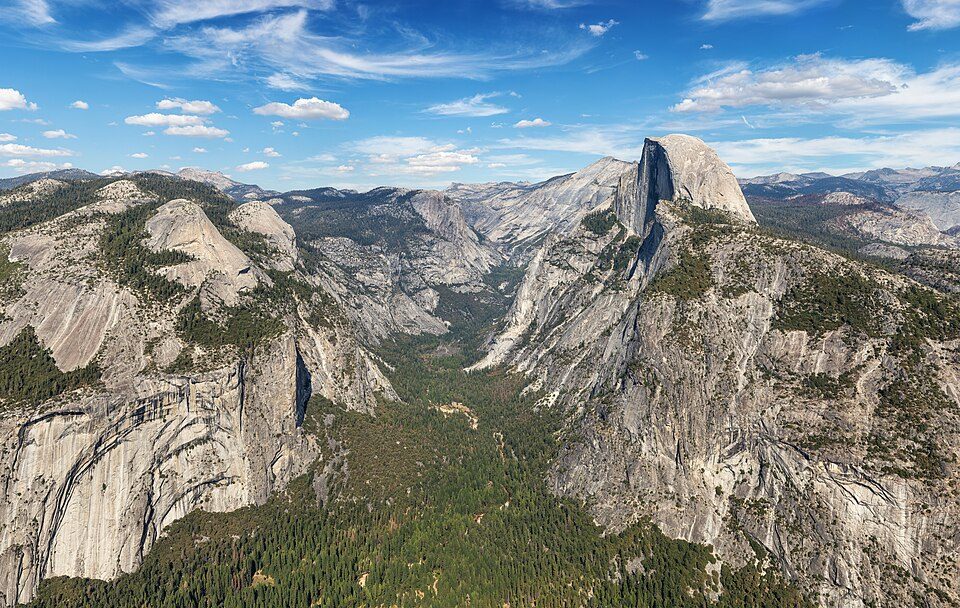 Big draw27 mi National ParkYosemite National Park4.3M visitors a year
 33 mi LakeMono Lake
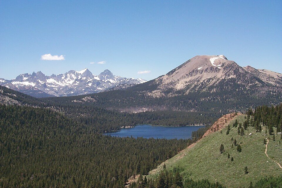 13 mi Ski areaMammoth Mountain153 runs · 2,962 ft vertical
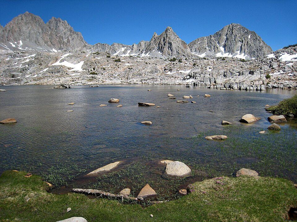 23 mi National ParkKings Canyon National Park780K visitors a year
 4 mi LakeConvict Lake
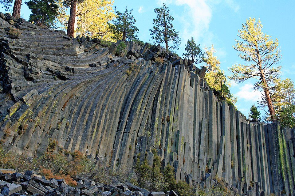 16 mi National MonumentDevils Postpile National Monument100K visitors a year
Yosemite National Park: Thomas Wolf, www.foto-tw.de, CC BY-SA 3.0 · Mono Lake: File:Mono lake sat.jpg: created by NASA Rotation and crop: Hike395, Public domain · Mammoth Mountain: Hike395 (talk · contribs), CC BY 3.0 · Kings Canyon National Park: NileGuide.com (Josh Steinitz), CC BY 2.0 · Convict Lake: The original uploader was Geographer at English Wikipedia., CC BY 1.0 · Devils Postpile National Monument: Frank Kovalchek from Anchorage, Alaska, USA, CC BY 2.0
None within 15 miles of McGee Creek; the nearest are
Census-designated place in California, United States
McGee Creek is an unincorporated community and census-designated place (CDP) in Mono County, California, United States. As of the 2020 census, the population of the community was 45.
From Wikipedia, licensed CC BY-SA 4.0 · facts via Wikidata (CC0)
Short answers, built from the data on this page.
We don’t grade McGee Creek yet; the figures below are still real. A town.


