
White Mountain Peak
White Mountain Peak (or simply White Mountain), at 14,252 feet (4,344 m), is the highest peak in the White Mountains of California, the highest peak in Mono County, and the third highest peak in the state after Mount Whitney and Mount Williamson. It stands 13 mi west of Dyer. Look also at Inyo National Forest, 15 mi away.

A mountain, 13 mi west of Dyer
Plan where you’ll sleep
The nearest town with many places to stay is Bishop, 20 miles southwest. Where to stay ↓
Summers are hot
July and August highs run 93–95°, and about 73 days a year reach 90°. When to go ↓
Winters are cold
January nights drop to 20°. When to go ↓
Best month: May
May is the mild month, with a high of 78°. When to go ↓
Written from NOAA 1991–2020 normals, Overture places to stay, Census town figures, Wikidata and Wikipedia.
Warm months and cold ones
Plan a visit to White Mountain Peak around the weather below.
White Mountain Peak
White Mountain Peak (or simply White Mountain), at 14,252 feet (4,344 m), is the highest peak in the White Mountains of California, the highest peak in Mono County, and the third highest peak in the state after Mount Whitney and Mount Williamson. Despite its name, the summit block of the peak has large swaths of very dark and colorful orange scree and rock; it is composed of Mesozoic metavolcanic rock, which is igneous rock altered by rising granite.
- Type
- Mountain
- Elevation
- 14,252 ft
- Wikipedia readers
- 22K a year
Where to stay near White Mountain Peak
For a bed close by, look to Bishop (31) and Sunny Slopes (8).
Bishop
The closest town with somewhere to stay.
3,696 people
20 mi southwest of White Mountain Peak
Compare 8 towns
| Town | From White Mountain Peak | Drive | Places to stay | People | Typical home | Safety |
|---|---|---|---|---|---|---|
| Bishop | 20 mi southwest | 30 min | 31 14 hotels · 8 motels · 2 lodges & cabins · 2 hostels · 2 campgrounds · 3 RV parks | 3,696 | $386K | D |
| Dyer | 13 mi east | 20 min | 2 1 inn or B&B · 1 RV park | 277 | $108K | — |
| Sunny Slopes | 23 mi west | 35 min | 8 1 hotel · 1 lodge or cabins · 6 campgrounds | 323 | $680K | — |
| Crowley Lake 33% vacation homes | 27 mi west | 40 min | 6 2 hotels · 1 motel · 1 lodge or cabins · 1 campground · 1 RV park | 1,069 | $592K | — |
| Dixon Lane-MeadowCreek | 19 mi southwest | 30 min | 2 1 inn or B&B · 1 RV park | 3,071 | $197K | — |
| McGee Creek | 30 mi west | 45 min | 4 1 hotel · 1 lodge or cabins · 2 campgrounds | — | — | — |
| Benton | 18 mi northwest | 25 min | 1 1 inn or B&B | 292 | $267K | — |
| Mesa | 22 mi southwest | 30 min | 1 1 campground | 343 | $621K | — |
Getting there
Nearest airports with airline service
More to see nearby
These well-known places are within 63 miles.
 49 mi LakeMono Lake
 63 mi National Historic SiteManzanar National Historic Site96K visitors a year
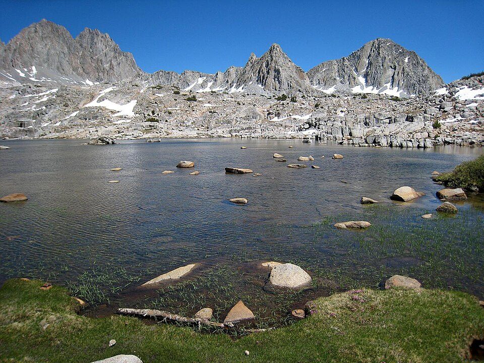 63 mi National ParkKings Canyon National Park780K visitors a year
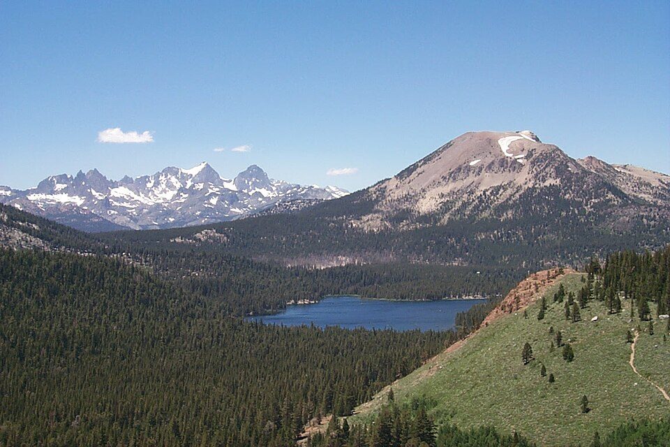 41 mi Ski areaMammoth Mountain153 runs · 2,962 ft vertical
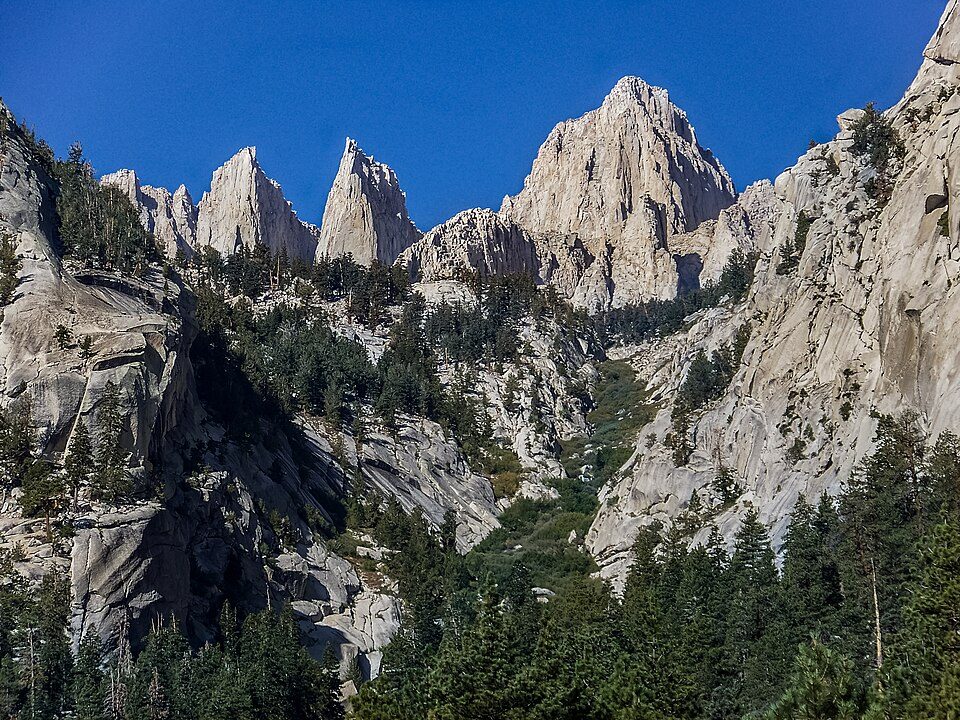 115 mi National forestInyo National Forest
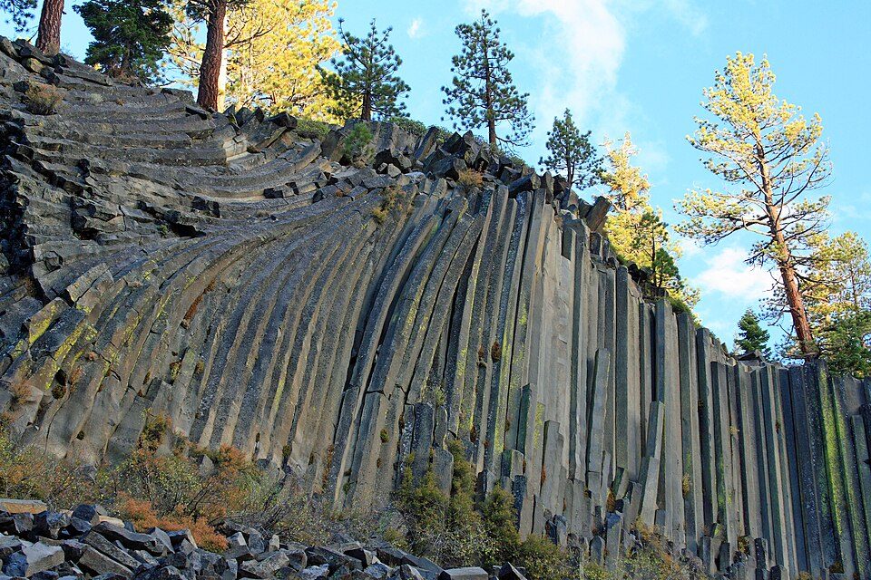 45 mi National MonumentDevils Postpile National Monument100K visitors a year
 33 mi LakeConvict Lake
 51 mi Park & preserveAnsel Adams Wilderness
Photo credits
Mono Lake: File:Mono lake sat.jpg: created by NASA Rotation and crop: Hike395, Public domain · Manzanar National Historic Site: Dorothea Lange, Public domain · Kings Canyon National Park: NileGuide.com (Josh Steinitz), CC BY 2.0 · Mammoth Mountain: Hike395 (talk · contribs), CC BY 3.0 · Inyo National Forest: Cullen328, CC BY 3.0 · Devils Postpile National Monument: Frank Kovalchek from Anchorage, Alaska, USA, CC BY 2.0 · Convict Lake: The original uploader was Geographer at English Wikipedia., CC BY 1.0 · Ansel Adams Wilderness: Hike395 (talk · contribs), CC BY 3.0


White Mountain Peak: what to know
What town is White Mountain Peak near?
Dyer, NV, about 13 miles east.
When is the best time to visit White Mountain Peak?
May, with a high of 78°.
What is the closest airport to White Mountain Peak?
Eastern Sierra Regional (BIH), about 19 miles away. The nearest big hub is Fresno Yosemite (FAT), about 100 miles.
Where should I stay near White Mountain Peak?
Bishop (20 mi, 31 places to stay), Sunny Slopes (23 mi, 8 places to stay) and Crowley Lake (27 mi, 6 places to stay).
Local know-how from Dyer
Share what you know in Dyer’s Town Square.
Sources: National Park Service · ski areas © OpenSkiMap / OpenStreetMap contributors · Wikidata · Wikipedia readership · NOAA climate normals · U.S. Census.