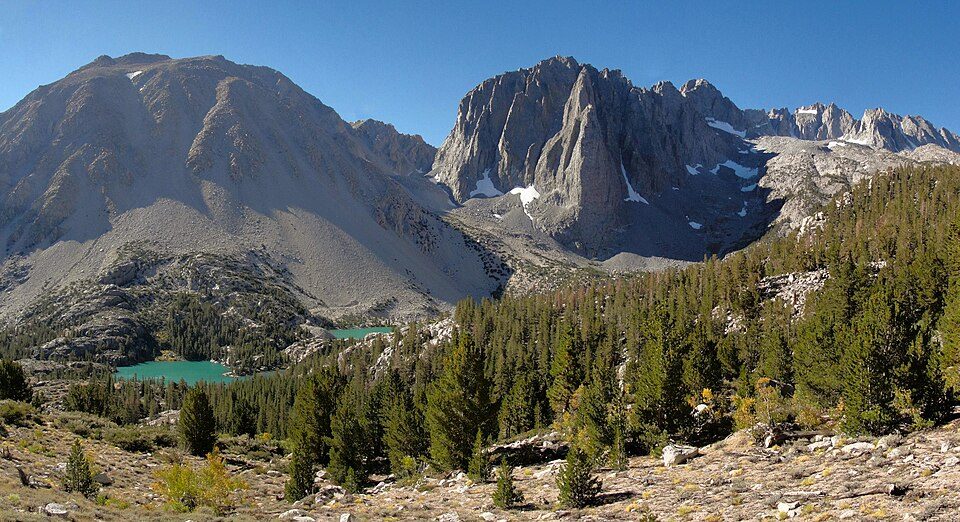
John Muir Wilderness
The John Muir Wilderness is a wilderness area that extends along the crest of the Sierra Nevada of California for 90 miles (140 km), in the Inyo and Sierra National Forests.

A park & preserve, 19 mi northeast of Wilsonia
Plan where you’ll sleep
The nearest town with many places to stay is Wilsonia, 19 miles southwest. Where to stay ↓
A day trip from Fresno
Fresno is about 56 miles west (straight-line). Where to stay ↓
Best months: Jun, Jul, Aug and Sep
June, July, August and September are the mild months, with highs of 71–79°. When to go ↓
Established in 1964
John Muir Wilderness dates from 1964. About ↓
Written from NOAA 1991–2020 normals, Overture places to stay, Census town figures, Wikidata and Wikipedia.
Weather, month by month
Typical highs and lows in Wilsonia. Green months are the mild ones.
John Muir Wilderness
The John Muir Wilderness is a wilderness area that extends along the crest of the Sierra Nevada of California for 90 miles (140 km), in the Inyo and Sierra National Forests. Established in 1964 by the Wilderness Act and named for naturalist John Muir, it encompasses 652,793 acres (2,641.76 km2). The wilderness lies along the eastern escarpment of the Sierra from near Mammoth Lakes and Devils Postpile National Monument in the north, to Cottonwood Pass near Mount Whitney in the south. The wilderness area also spans the Sierra crest north of Kings Canyon National Park, and extends on the west side of the park down to the Monarch Wilderness.
- Type
- Park & preserve
- Established
- 1964
- Area
- 1,020 square miles
- Wikipedia readers
- 8.4K a year
Where to stay near John Muir Wilderness
The closest towns with hotels, motels or campgrounds are Wilsonia (6) and Shaver Lake (14).
Wilsonia
The closest town with somewhere to stay.
31 people · 88% vacation homes
19 mi southwest of John Muir Wilderness
Compare 5 towns
| Town | From John Muir Wilderness | Drive | Places to stay | People | Typical home |
|---|---|---|---|---|---|
| Wilsonia 88% vacation homes | 19 mi southwest | 30 min | 6 1 hotel · 2 lodges & cabins · 3 campgrounds | 31 | — |
| Shaver Lake 81% vacation homes | 30 mi west | 45 min | 14 6 hotels · 1 inn or B&B · 3 lodges & cabins · 3 campgrounds · 1 RV park | 371 | $612K |
| Hartland | 24 mi south | 35 min | 3 2 campgrounds · 1 RV park | — | — |
| Big Creek 56% vacation homes | 29 mi northwest | 45 min | 5 1 hotel · 1 inn or B&B · 2 lodges & cabins · 1 campground | 69 | $362K |
| Squaw Valley | 28 mi southwest | 40 min | 4 1 hotel · 1 motel · 1 inn or B&B · 1 campground | 3,361 | $272K |
Getting there
Nearest airports with airline service
Also near John Muir Wilderness
Other well-known places within 67 miles. Numbered ones are on the map above.
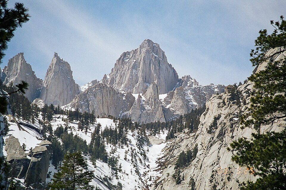 Big draw40 mi MountainMount Whitney
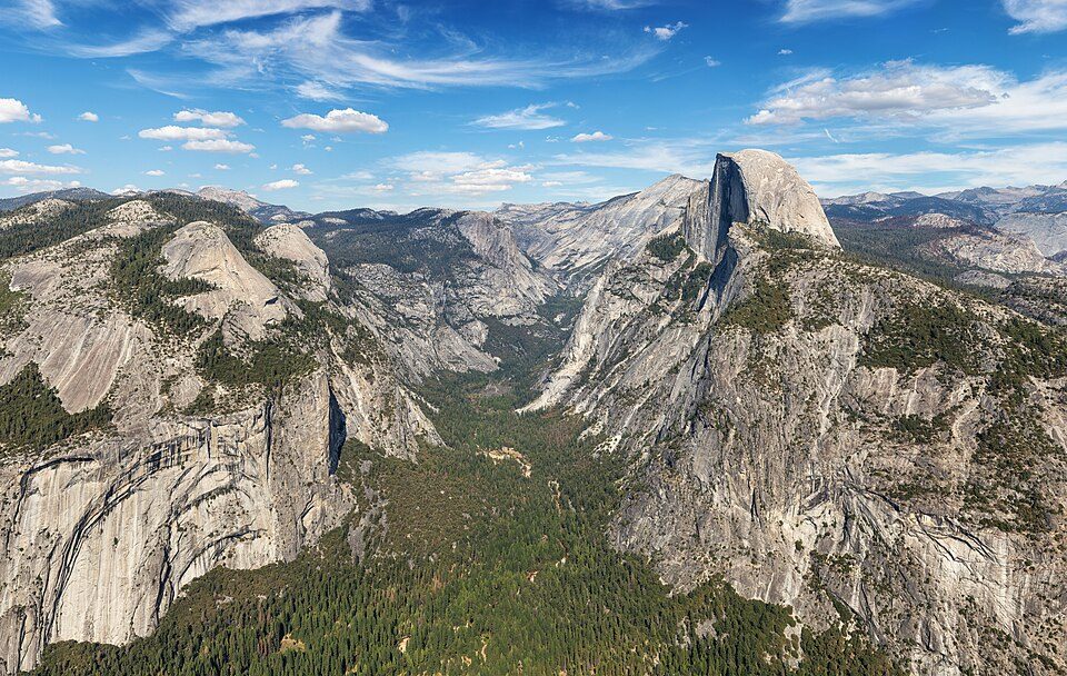 Big draw66 mi National ParkYosemite National Park4.3M visitors a year
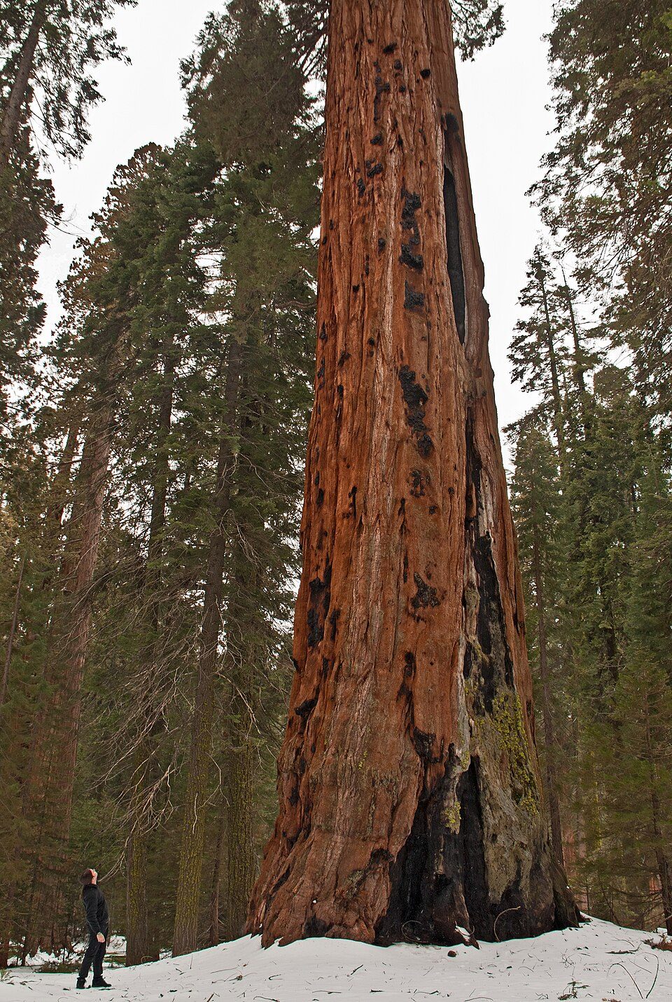 Big draw128 mi National ParkSequoia National Park1.4M visitors a year
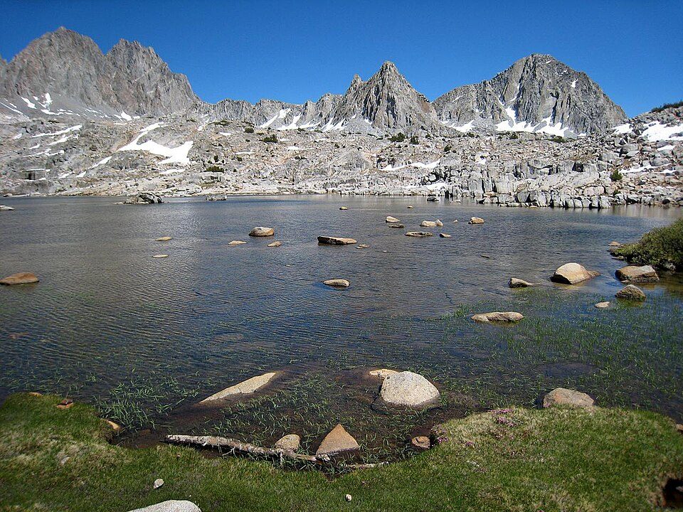 215 mi National ParkKings Canyon National Park780K visitors a year
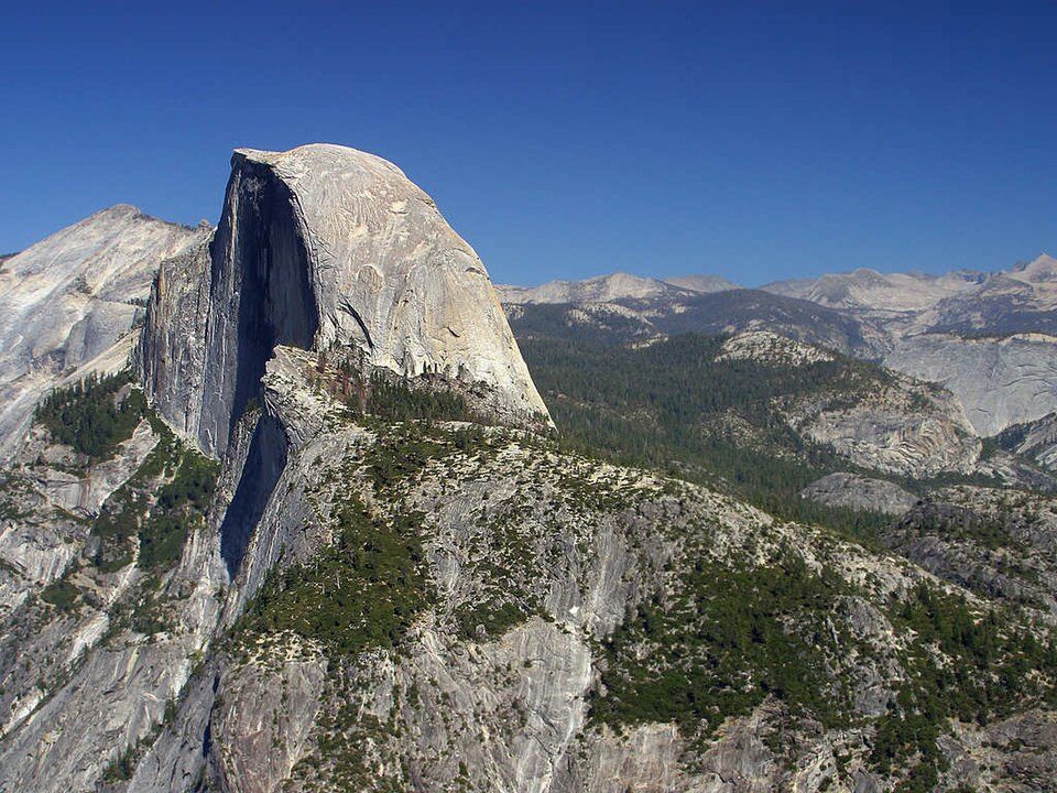 Big draw66 mi MountainHalf Dome
 40 mi National Historic SiteManzanar National Historic Site96K visitors a year
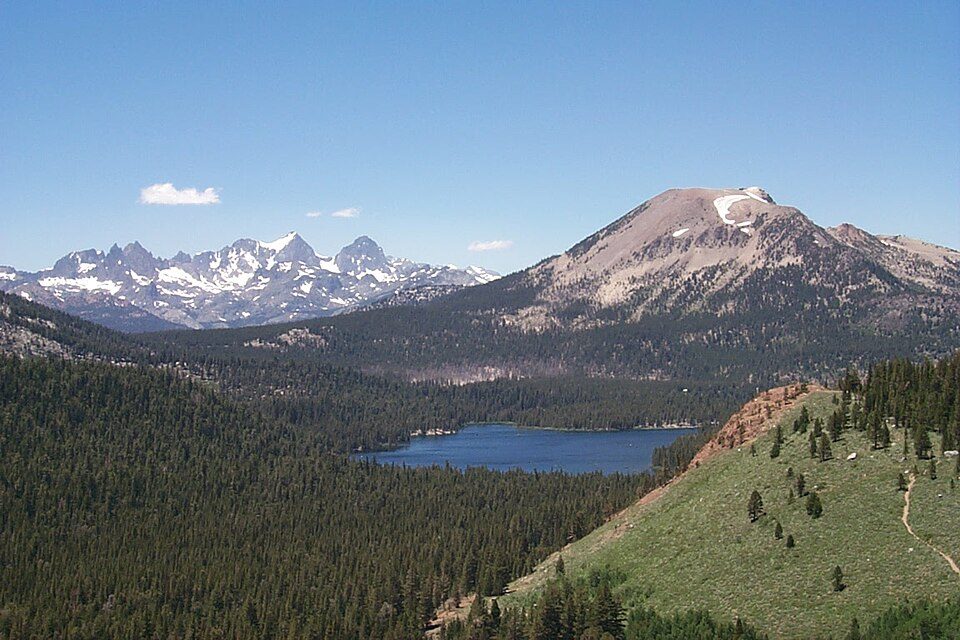 47 mi Ski areaMammoth Mountain153 runs · 2,962 ft vertical
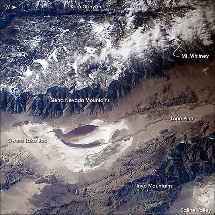 61 mi LakeOwens Lake
Photo credits
Mount Whitney: Geographer (talk · contribs), CC BY 1.0 · Yosemite National Park: Thomas Wolf, www.foto-tw.de, CC BY-SA 3.0 · Sequoia National Park: Alberto Carrasco Casado, CC BY 2.0 · Kings Canyon National Park: NileGuide.com (Josh Steinitz), CC BY 2.0 · Half Dome: Jon Sullivan, Public domain · Manzanar National Historic Site: Dorothea Lange, Public domain · Mammoth Mountain: Hike395 (talk · contribs), CC BY 3.0 · Owens Lake: Picture prepared for Wikipedia by Adrian Pingstone in November 2003., Public domain


Visiting John Muir Wilderness
What town is John Muir Wilderness near?
Wilsonia, CA, about 19 miles southwest.
When is the best time to visit John Muir Wilderness?
June, July, August and September, with highs of 71–79°.
How far is John Muir Wilderness from Fresno?
About 56 miles west of Fresno, as the crow flies.
What is the closest airport to John Muir Wilderness?
Eastern Sierra Regional (BIH), about 37 miles away. The nearest big hub is Fresno Yosemite (FAT), about 52 miles.
Where should I stay near John Muir Wilderness?
Wilsonia (19 mi, 6 places to stay), Shaver Lake (30 mi, 14 places to stay) and Hartland (24 mi, 3 places to stay).
Tips from people in Wilsonia
No tips yet. Ask, or answer, in Wilsonia’s Town Square.
Sources: National Park Service · ski areas © OpenSkiMap / OpenStreetMap contributors · Wikidata · Wikipedia readership · NOAA climate normals · U.S. Census.