
Yosemite Mountain Sugar Pine Railroad
The Yosemite Mountain Sugar Pine Railroad (YMSPRR) is a heritage 3 ft (914 mm) narrow gauge railway near Fish Camp, California, in the Sierra National Forest near the southern entrance to Yosemite National Park. Around it, Yosemite (21 mi) comes first on our list. Highs of 66–84°F make May to October the mildest time to go.

A scenic railway, 2 mi south of Fish Camp
Fish Camp is the nearest base
Fish Camp is 2 miles north, with 13 places to stay. Where to stay ↓
A day trip from Fresno
Fresno is about 47 miles south (straight-line). Where to stay ↓
Best months: May, Jun, Jul, Aug, Sep and Oct
May, June, July, August, September and October are the mild months, with highs of 66–84°. When to go ↓
Written from NOAA 1991–2020 normals, Overture places to stay, Census town figures and Wikipedia.
When to go
Each month’s highs and lows around Yosemite Mountain Sugar Pine Railroad are below.
Yosemite Mountain Sugar Pine Railroad
The Yosemite Mountain Sugar Pine Railroad (YMSPRR) is a heritage 3 ft (914 mm) narrow gauge railway near Fish Camp, California, in the Sierra National Forest near the southern entrance to Yosemite National Park. The railroad operates three steam locomotives. Rudy Stauffer founded the railroad in 1961 along part of the former route of the Madera Sugar Pine Lumber Company.
- Type
- Scenic railway
- Wikipedia readers
- 8.4K a year
Overnight near Yosemite Mountain Sugar Pine Railroad
The closest lodging is in Oakhurst (44) and Fish Camp (13).
Oakhurst
The closest town with somewhere to stay.
6,091 people
8 mi south of Yosemite Mountain Sugar Pine Railroad
Bass Lake
499 people · 69% vacation homes
10 mi southeast of Yosemite Mountain Sugar Pine Railroad
Wawona
125 people · 36% vacation homes
6 mi north of Yosemite Mountain Sugar Pine Railroad
Compare 8 towns
| Town | From Yosemite Mountain Sugar Pine Railroad | Drive | Places to stay | People | Typical home |
|---|---|---|---|---|---|
| Oakhurst | 8 mi south | 10 min | 44 22 hotels · 8 inns & B&Bs · 10 lodges & cabins · 3 campgrounds · 1 RV park | 6,091 | $393K |
| Fish Camp 100% vacation homes | 2 mi north | 5 min | 13 5 hotels · 3 inns & B&Bs · 2 lodges & cabins · 3 campgrounds | — | — |
| Bass Lake 69% vacation homes | 10 mi southeast | 15 min | 15 3 hotels · 1 inn or B&B · 2 lodges & cabins · 8 campgrounds · 1 RV park | 499 | — |
| Wawona 36% vacation homes | 6 mi north | 10 min | 7 1 hotel · 2 lodges & cabins · 4 campgrounds | 125 | $750K |
| Nipinnawasee | 6 mi southwest | 10 min | 6 4 inns & B&Bs · 1 lodge or cabins · 1 campground | 558 | $340K |
| Yosemite West 66% vacation homes | 14 mi north | 20 min | 10 2 hotels · 1 inn or B&B · 7 lodges & cabins | 31 | — |
| Ahwahnee | 7 mi southwest | 10 min | 4 2 inns & B&Bs · 2 lodges & cabins | 1,453 | $470K |
| Bootjack | 13 mi west | 20 min | 7 1 hotel · 4 inns & B&Bs · 2 lodges & cabins | 400 | $387K |
Getting there
Nearest airports with airline service
Places to add to Yosemite Mountain Sugar Pine Railroad
These well-known sights sit within 53 miles.
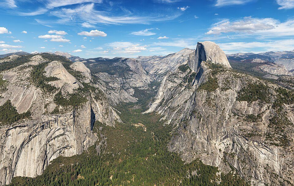 Big draw121 mi National ParkYosemite National Park4.3M visitors a year
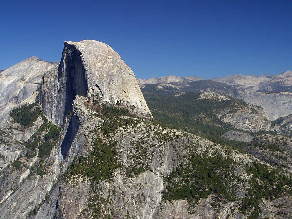 Big draw221 mi MountainHalf Dome
 52 mi LakeMono Lake
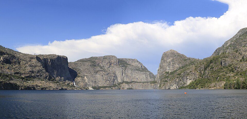 35 mi LakeHetch Hetchy
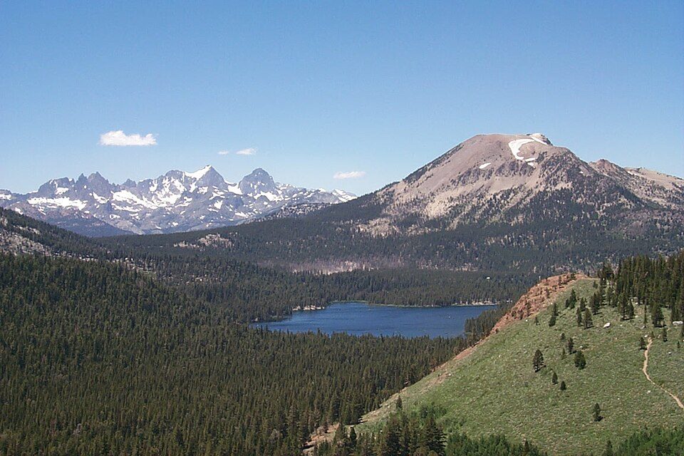 37 mi Ski areaMammoth Mountain153 runs · 2,962 ft vertical
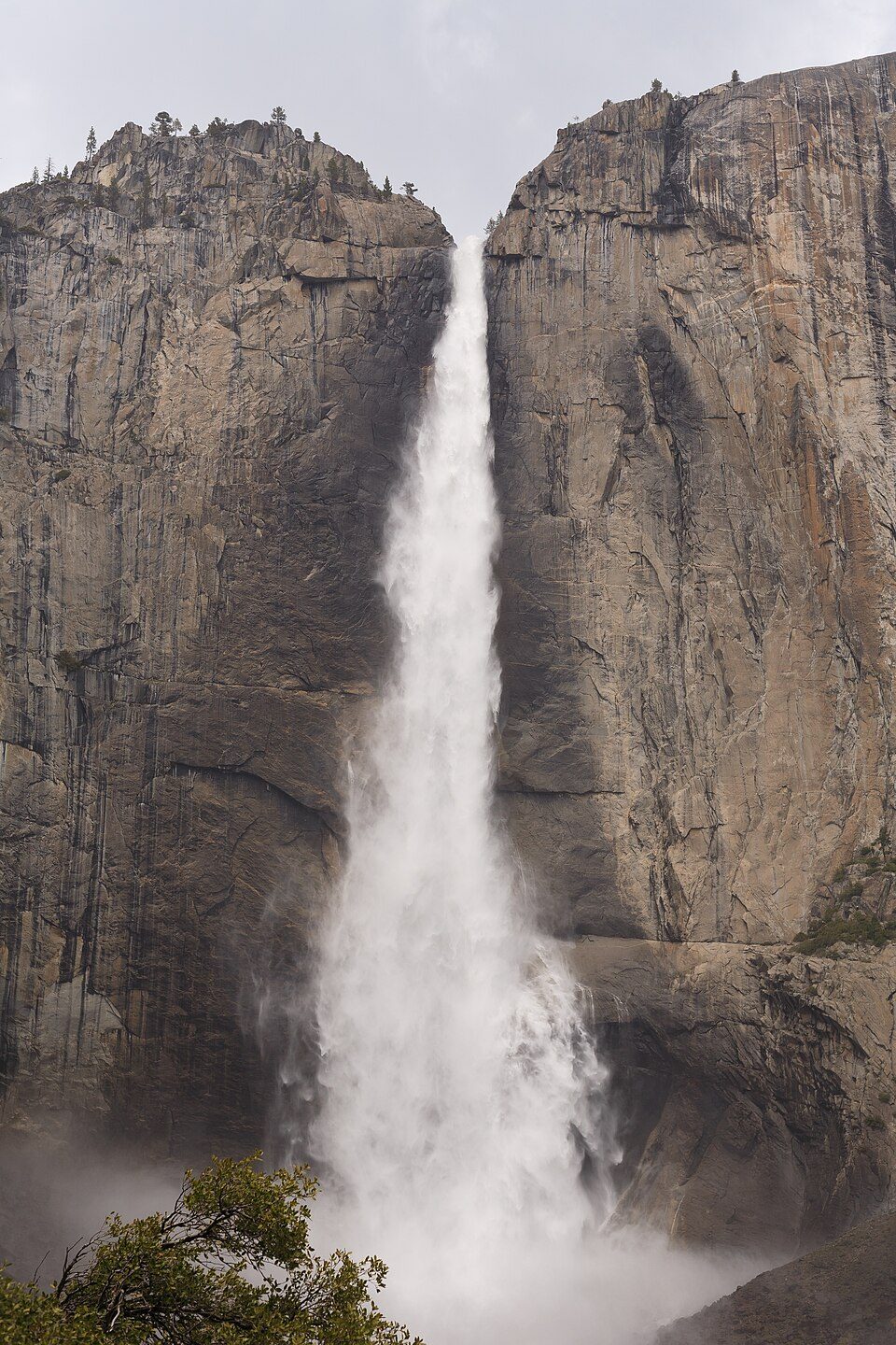 321 mi WaterfallYosemite Falls
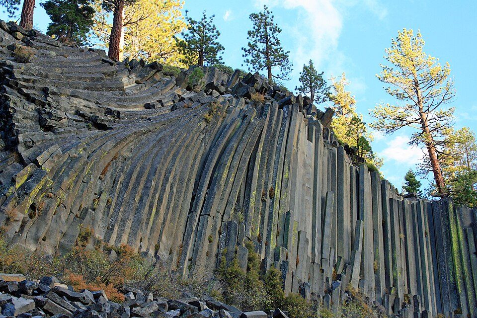 33 mi National MonumentDevils Postpile National Monument100K visitors a year
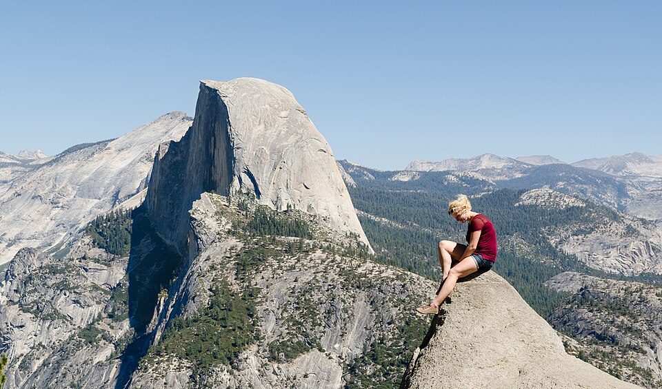 420 mi AttractionGlacier Point
Photo credits
Yosemite National Park: Thomas Wolf, www.foto-tw.de, CC BY-SA 3.0 · Half Dome: Jon Sullivan, Public domain · Mono Lake: File:Mono lake sat.jpg: created by NASA Rotation and crop: Hike395, Public domain · Hetch Hetchy: Vulpinus2, CC BY-SA 4.0 · Mammoth Mountain: Hike395 (talk · contribs), CC BY 3.0 · Yosemite Falls: King of Hearts, CC BY-SA 4.0 · Devils Postpile National Monument: Frank Kovalchek from Anchorage, Alaska, USA, CC BY 2.0 · Glacier Point: Tuxyso, CC BY-SA 3.0


Visiting Yosemite Mountain Sugar Pine Railroad
What town is Yosemite Mountain Sugar Pine Railroad near?
Fish Camp, CA, about 2 miles north.
When is the best time to visit Yosemite Mountain Sugar Pine Railroad?
May, June, July, August, September and October, with highs of 66–84°.
How far is Yosemite Mountain Sugar Pine Railroad from Fresno and Stockton?
About 47 miles south of Fresno and about 98 miles west of Stockton, as the crow flies.
What is the closest airport to Yosemite Mountain Sugar Pine Railroad?
Mammoth Yosemite (MMH), about 45 miles away. The nearest big hub is Fresno Yosemite (FAT), about 47 miles.
Where should I stay near Yosemite Mountain Sugar Pine Railroad?
Oakhurst (8 mi, 44 places to stay), Fish Camp (2 mi, 13 places to stay) and Bass Lake (10 mi, 15 places to stay).
Local know-how from Fish Camp
There are no tips yet, so start one in Fish Camp’s Town Square.
Sources: National Park Service · ski areas © OpenSkiMap / OpenStreetMap contributors · Wikidata · Wikipedia readership · NOAA climate normals · U.S. Census.