
Tunnel View
Tunnel View is a scenic viewpoint located on California State Route 41 in Yosemite National Park, United States.

An attraction, 4 mi east of Foresta
Yosemite West is the nearest base
Yosemite West is 5 miles southwest, with 10 places to stay. Where to stay ↓
A day trip from Fresno
Fresno is about 65 miles south (straight-line). Where to stay ↓
Best months: May, Jun, Sep and Oct
May, June, September and October are the mild months, with highs of 69–81°. When to go ↓
Established in 1932
Tunnel View dates from 1932. About ↓
Written from NOAA 1991–2020 normals, Overture places to stay, Census town figures, Wikidata and Wikipedia.
Weather, month by month
Typical highs and lows in Foresta. Green months are the mild ones.
Tunnel View
Tunnel View is a scenic viewpoint located on California State Route 41 in Yosemite National Park, United States. Since its opening in 1933, it has offered visitors iconic, expansive views of Yosemite Valley, making it one of the park's most renowned viewpoints.
The large viewpoint area is located directly east of the Wawona Tunnel portal, as one enters Yosemite Valley from points south. The view looks eastward into Yosemite Valley, and includes surrounding features, such as the southwest face of El Capitan on the left, Half Dome on axis, and Bridalveil Fall on the right.
- Type
- Attraction
- Established
- 1932
- Elevation
- 4,409 ft
- Wikipedia readers
- 8K a year
Where to stay near Tunnel View
The closest towns with hotels, motels or campgrounds are Yosemite Valley (17) and Yosemite West (10).
Yosemite Valley
The closest town with somewhere to stay.
1,991 people
6 mi east of Tunnel View
Compare 8 towns
| Town | From Tunnel View | Drive | Places to stay | People | Typical home |
|---|---|---|---|---|---|
| Yosemite Valley | 6 mi east | 10 min | 17 8 hotels · 2 lodges & cabins · 7 campgrounds | 1,991 | — |
| Yosemite West 66% vacation homes | 5 mi southwest | 10 min | 10 2 hotels · 1 inn or B&B · 7 lodges & cabins | 31 | — |
| Oakhurst | 26 mi south | 40 min | 44 22 hotels · 8 inns & B&Bs · 10 lodges & cabins · 3 campgrounds · 1 RV park | 6,091 | $393K |
| Fish Camp 100% vacation homes | 16 mi south | 25 min | 13 5 hotels · 3 inns & B&Bs · 2 lodges & cabins · 3 campgrounds | — | — |
| Wawona 36% vacation homes | 12 mi south | 20 min | 7 1 hotel · 2 lodges & cabins · 4 campgrounds | 125 | $750K |
| El Portal | 7 mi southwest | 10 min | 2 1 inn or B&B · 1 lodge or cabins | 505 | $248K |
| Midpines | 18 mi southwest | 25 min | 7 2 hotels · 1 inn or B&B · 2 lodges & cabins · 2 campgrounds | 160 | — |
| Mariposa | 22 mi southwest | 35 min | 11 1 hotel · 2 motels · 5 inns & B&Bs · 2 lodges & cabins · 1 campground | 1,137 | $271K |
Getting there
Nearest airports with airline service
Also near Tunnel View
Other well-known places within 42 miles. Numbered ones are on the map above.
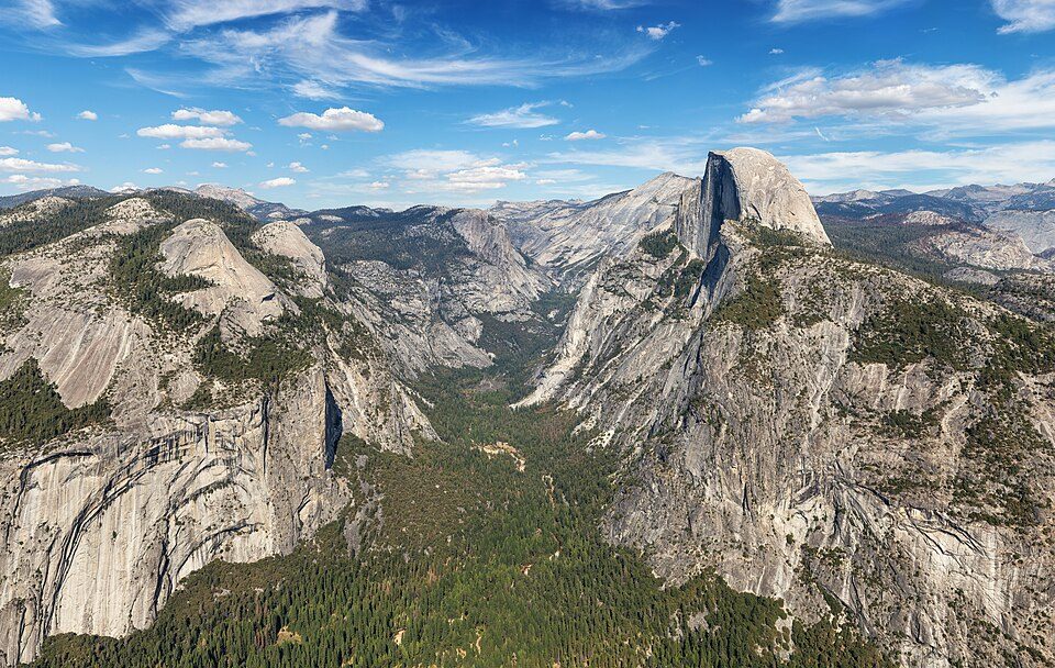 Big draw18 mi National ParkYosemite National Park4.3M visitors a year
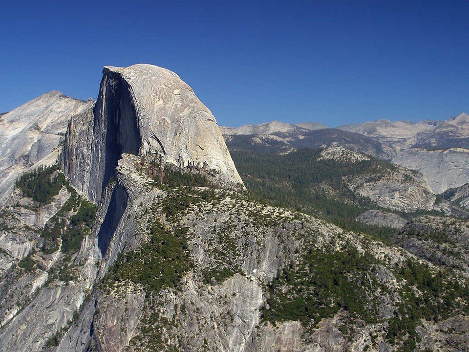 Big draw28 mi MountainHalf Dome
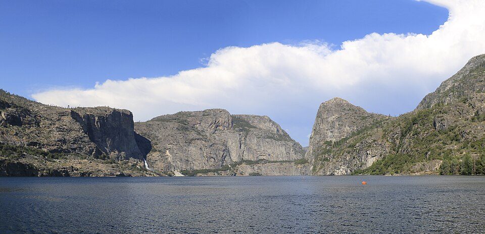 317 mi LakeHetch Hetchy
 42 mi LakeMono Lake
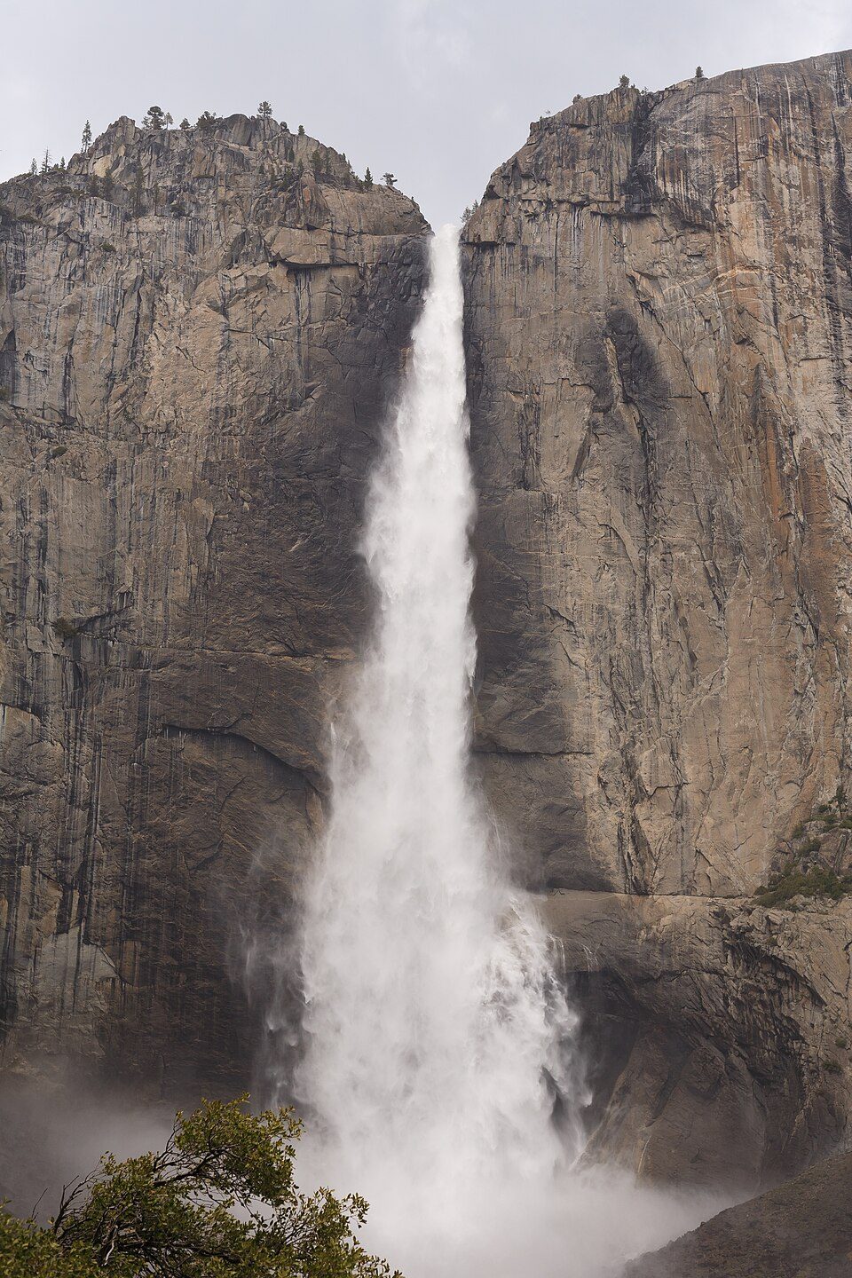 45 mi WaterfallYosemite Falls
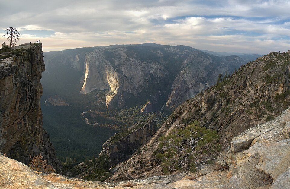 54 mi AttractionTaft Point
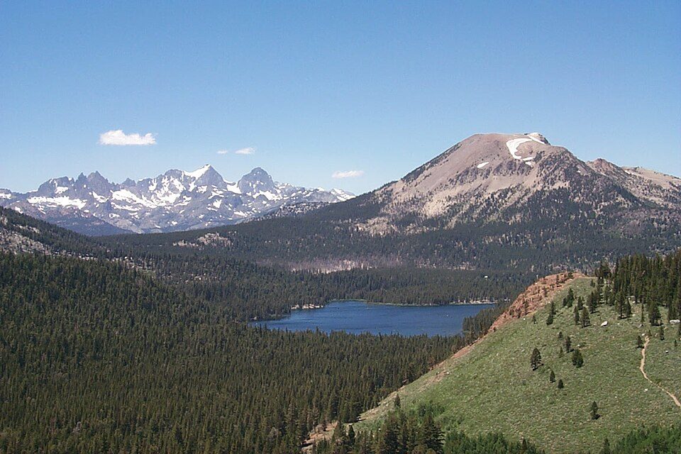 37 mi Ski areaMammoth Mountain153 runs · 2,962 ft vertical
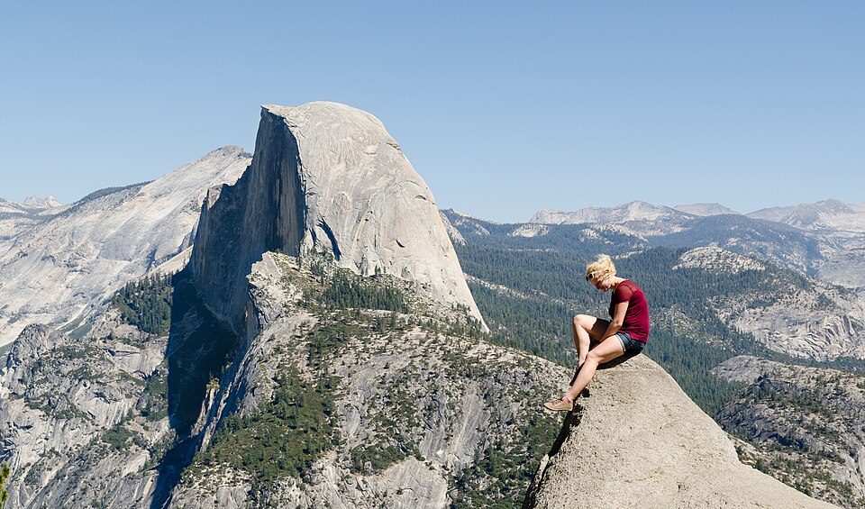 66 mi AttractionGlacier Point
Photo credits
Yosemite National Park: Thomas Wolf, www.foto-tw.de, CC BY-SA 3.0 · Half Dome: Jon Sullivan, Public domain · Hetch Hetchy: Vulpinus2, CC BY-SA 4.0 · Mono Lake: File:Mono lake sat.jpg: created by NASA Rotation and crop: Hike395, Public domain · Yosemite Falls: King of Hearts, CC BY-SA 4.0 · Taft Point: Dave from San Jose, CA, USA, CC BY 2.0 · Mammoth Mountain: Hike395 (talk · contribs), CC BY 3.0 · Glacier Point: Tuxyso, CC BY-SA 3.0


Visiting Tunnel View
What town is Tunnel View near?
Foresta, CA, about 4 miles west.
When is the best time to visit Tunnel View?
May, June, September and October, with highs of 69–81°.
How far is Tunnel View from Fresno and Stockton?
About 65 miles south of Fresno and about 91 miles west of Stockton, as the crow flies.
What is the closest airport to Tunnel View?
Mammoth Yosemite (MMH), about 46 miles away. The nearest big hub is Fresno Yosemite (FAT), about 65 miles.
Where should I stay near Tunnel View?
Yosemite Valley (6 mi, 17 places to stay), Yosemite West (5 mi, 10 places to stay) and Oakhurst (26 mi, 44 places to stay).
Tips from people in Foresta
No tips yet. Ask, or answer, in Foresta’s Town Square.
Sources: National Park Service · ski areas © OpenSkiMap / OpenStreetMap contributors · Wikidata · Wikipedia readership · NOAA climate normals · U.S. Census.