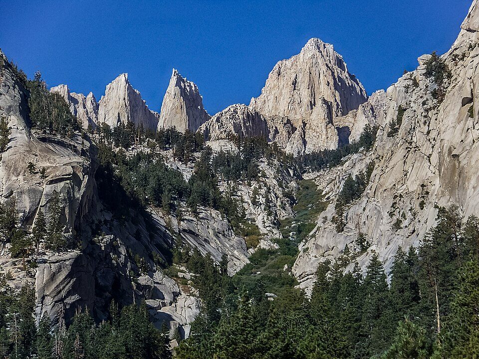
Inyo National Forest
Inyo National Forest is a United States National Forest covering parts of the eastern Sierra Nevada of California and the White Mountains of California and Nevada. Head 11 mi east of Benton to reach it. It dates back to 1907.

A national forest, 11 mi east of Benton
Plan where you’ll sleep
The nearest town with many places to stay is Sunny Slopes, 29 miles southwest. Where to stay ↓
Summers are hot
July and August highs run 91–93°. When to go ↓
Winters are cold
January nights drop to 21°. When to go ↓
Established in 1907
Inyo National Forest dates from 1907. About ↓
Best months: May and Sep
May and September are the mild months, with highs of 75–83°. When to go ↓
Written from NOAA 1991–2020 normals, Overture places to stay, Census town figures, Wikidata and Wikipedia.
Highs and lows by month
Here is how the weather at Inyo National Forest changes month by month.
Inyo National Forest
Inyo National Forest is a United States National Forest covering parts of the eastern Sierra Nevada of California and the White Mountains of California and Nevada. The forest hosts several superlatives, including Mount Whitney, the highest point in the contiguous United States; Boundary Peak, the highest point in Nevada; and the Ancient Bristlecone Pine Forest, which protects the oldest living trees in the world. The forest, encompassing much of the Owens Valley, was established by Theodore Roosevelt as a way of sectioning off land to accommodate the Los Angeles Aqueduct project in 1907, making the Inyo National Forest one of the least wooded forests in the U.S. National Forest system.
- Type
- National forest
- Established
- 1907
- Area
- 2,974 square miles
- Wikipedia readers
- 13K a year
Bases for Inyo National Forest
The nearest towns with places to stay are Sunny Slopes (8), and Mammoth Lakes has the most rooms in the area (84).
Benton
The closest town with somewhere to stay.
292 people
11 mi west of Inyo National Forest
Mammoth Lakes
The most places to stay in the area, and a base for a longer trip.
6,867 people · 57% vacation homes
42 mi west of Inyo National Forest
Compare 4 towns
| Town | From Inyo National Forest | Drive | Places to stay | People | Typical home | Safety |
|---|---|---|---|---|---|---|
| Benton | 11 mi west | 15 min | 1 1 inn or B&B | 292 | $267K | — |
| Sunny Slopes | 29 mi southwest | 45 min | 8 1 hotel · 1 lodge or cabins · 6 campgrounds | 323 | $680K | — |
| Dyer | 20 mi southeast | 30 min | 2 1 inn or B&B · 1 RV park | 277 | $108K | — |
| Mammoth Lakes 57% vacation homes | 42 mi west | 1 hr | 84 48 hotels · 2 motels · 5 inns & B&Bs · 16 lodges & cabins · 2 hostels · 10 campgrounds · 1 RV park | 6,867 | $867K | C |
Getting there
Nearest airports with airline service
Also within reach
A wider trip can take in these, within 69 miles.
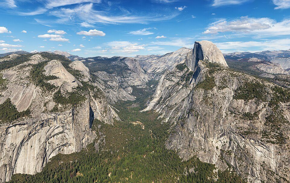 Big draw69 mi National ParkYosemite National Park4.1M visitors a year
 41 mi LakeMono Lake
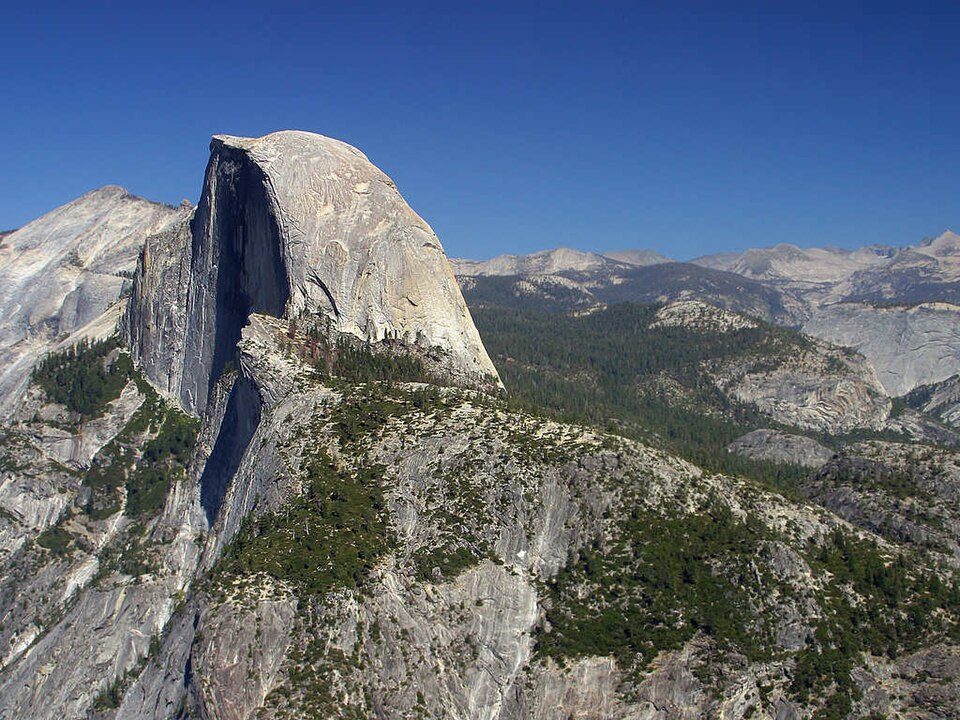 Big draw68 mi MountainHalf Dome
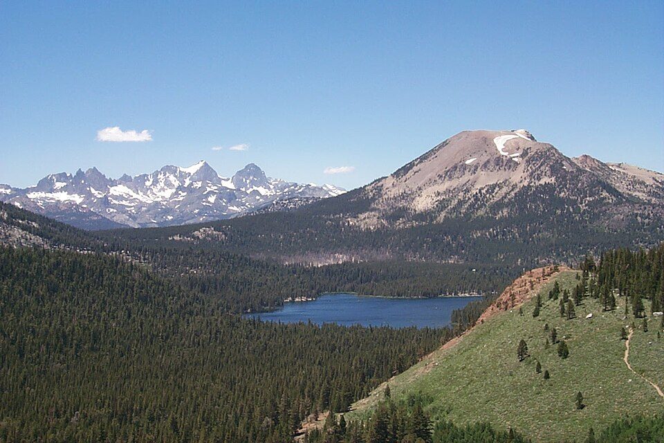 42 mi Ski areaMammoth Mountain153 runs · 2,962 ft vertical
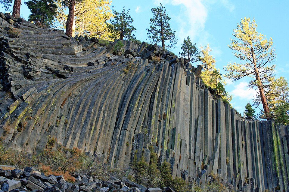 46 mi National MonumentDevils Postpile National Monument144K visitors a year
 36 mi LakeConvict Lake
 50 mi Park & preserveAnsel Adams Wilderness
 57 mi National forestSierra National Forest
Photo credits
Yosemite National Park: Thomas Wolf, www.foto-tw.de, CC BY-SA 3.0 · Mono Lake: File:Mono lake sat.jpg: created by NASA Rotation and crop: Hike395, Public domain · Half Dome: Jon Sullivan, Public domain · Mammoth Mountain: Hike395 (talk · contribs), CC BY 3.0 · Devils Postpile National Monument: Frank Kovalchek from Anchorage, Alaska, USA, CC BY 2.0 · Convict Lake: The original uploader was Geographer at English Wikipedia., CC BY 1.0 · Ansel Adams Wilderness: Hike395 (talk · contribs), CC BY 3.0 · Sierra National Forest: Smack (talk · contribs), Public domain


What people ask about Inyo National Forest
What town is Inyo National Forest near?
Benton, CA, about 11 miles west.
When is the best time to visit Inyo National Forest?
May and September, with highs of 75–83°.
What is the closest airport to Inyo National Forest?
Eastern Sierra Regional (BIH), about 33 miles away. The nearest big hub is Fresno Yosemite (FAT), about 108 miles.
Where should I stay near Inyo National Forest?
Mammoth Lakes (42 mi, 84 places to stay) and Sunny Slopes (29 mi, 8 places to stay).
What locals in Benton say
Tips will appear here once someone posts in Benton’s Town Square.
Sources: National Park Service · ski areas © OpenSkiMap / OpenStreetMap contributors · Wikidata · Wikipedia readership · NOAA climate normals · U.S. Census.