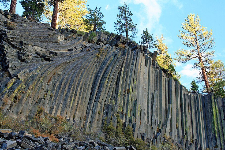
Devils Postpile National Monument
Devils Postpile National Monument is a U.S.

A national monument, 5 mi west of Mammoth Lakes
Little or no visiting in Jan, Feb, Mar, Apr, May, Nov and Dec
The Park Service records almost no visits in January, February, March, April, May, November and December. Check the official site before planning a trip then. When to go ↓
Winters are cold
January nights drop to 15°. When to go ↓
Mammoth Lakes is the nearest base
Mammoth Lakes is 5 miles east, with 84 places to stay. Where to stay ↓
A day trip from Fresno
Fresno is about 70 miles southwest (straight-line). Where to stay ↓
Established in 1911
Devils Postpile National Monument dates from 1911 and is run by National Park Service. About ↓
Written from National Park Service visitor counts, NOAA 1991–2020 normals, Overture places to stay, Census town figures, Wikidata and Wikipedia. Updated when the Park Service posts a new month.
Crowds and weather, month by month
Bars: average monthly visitors, 2022–2025. Line: the typical afternoon high. Green months are mild and quieter than average.
Devils Postpile National Monument
Devils Postpile National Monument is a U.S. national monument located near Mammoth Mountain in Eastern California. The monument protects Devils Postpile, an unusual rock formation of columnar basalt, "all closely and perfectly fitted together like a vast mosaic", and Rainbow Falls a waterfall on the Middle Fork of the San Joaquin River, which are also the two main attractions. The monument encompasses 798 acres (323 ha). In addition, the John Muir Trail and Pacific Crest Trail merge into one trail as they pass through the monument. Excluding a small developed area containing the monument headquarters, visitor center and a campground, the National Monument lies within the borders of the Ansel Adams Wilderness.
- Type
- National Monument
- Established
- 1911
- Area
- 801 acres
- Run by
- National Park Service
- Wikipedia readers
- 30K a year
- Official site
- nps.gov/depo
Before you go
Where to stay near Devils Postpile National Monument
The closest towns with hotels, motels or campgrounds are Mammoth Lakes (84) and June Lake (25).
Mammoth Lakes
The closest town with somewhere to stay.
6,867 people · 57% vacation homes
5 mi east of Devils Postpile Ranger Station · 5 mi to the park
June Lake
209 people · 70% vacation homes
9 mi north of Devils Postpile Ranger Station · 9 mi to the park
Crowley Lake
1,069 people · 33% vacation homes
19 mi east of Devils Postpile Ranger Station · 19 mi to the park
Yosemite Valley
1,991 people
28 mi west of Devils Postpile Ranger Station · 28 mi to the park
Compare 8 towns
| Town | From the visitor center | Drive | Places to stay | People | Typical home | Safety |
|---|---|---|---|---|---|---|
| Mammoth Lakes 57% vacation homes | 5 mi east | 10 min | 84 48 hotels · 2 motels · 5 inns & B&Bs · 16 lodges & cabins · 2 hostels · 10 campgrounds · 1 RV park | 6,867 | $867K | C |
| June Lake 70% vacation homes | 9 mi north | 15 min | 25 5 hotels · 1 motel · 9 lodges & cabins · 8 campgrounds · 2 RV parks | 209 | — | — |
| Crowley Lake 33% vacation homes | 19 mi east | 30 min | 6 2 hotels · 1 motel · 1 lodge or cabins · 1 campground · 1 RV park | 1,069 | $592K | — |
| Yosemite Valley | 28 mi west | 40 min | 17 8 hotels · 2 lodges & cabins · 7 campgrounds | 1,991 | — | — |
| Lee Vining 27% vacation homes | 23 mi north | 35 min | 9 4 motels · 1 lodge or cabins · 3 campgrounds · 1 RV park | 628 | $435K | — |
| McGee Creek | 17 mi east | 25 min | 4 1 hotel · 1 lodge or cabins · 2 campgrounds | — | — | — |
| Sunny Slopes | 23 mi east | 35 min | 8 1 hotel · 1 lodge or cabins · 6 campgrounds | 323 | $680K | — |
| Wawona 36% vacation homes | 31 mi west | 45 min | 7 1 hotel · 2 lodges & cabins · 4 campgrounds | 125 | $750K | — |
Getting there
Nearest airports with airline service, from the visitor center
Also near Devils Postpile
Other well-known places within 62 miles. Numbered ones are on the map above.
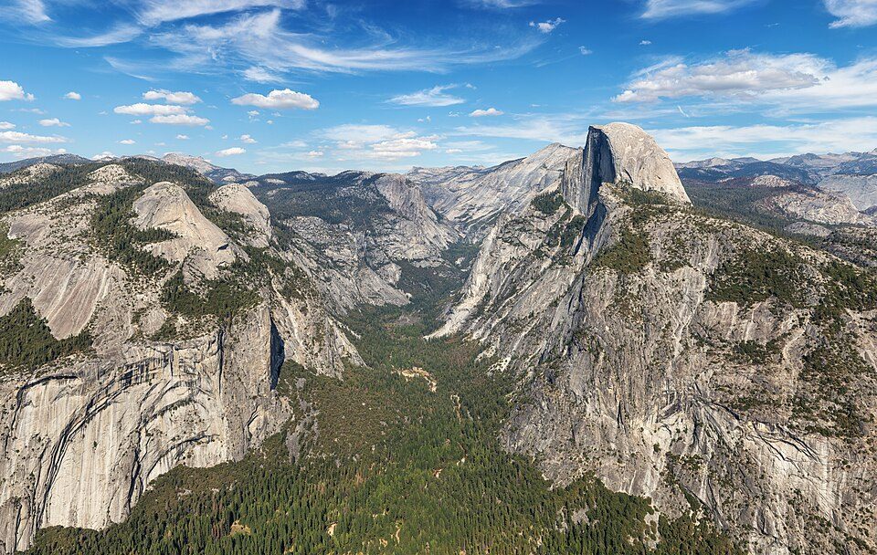 Big draw126 mi National ParkYosemite National Park4.3M visitors a year
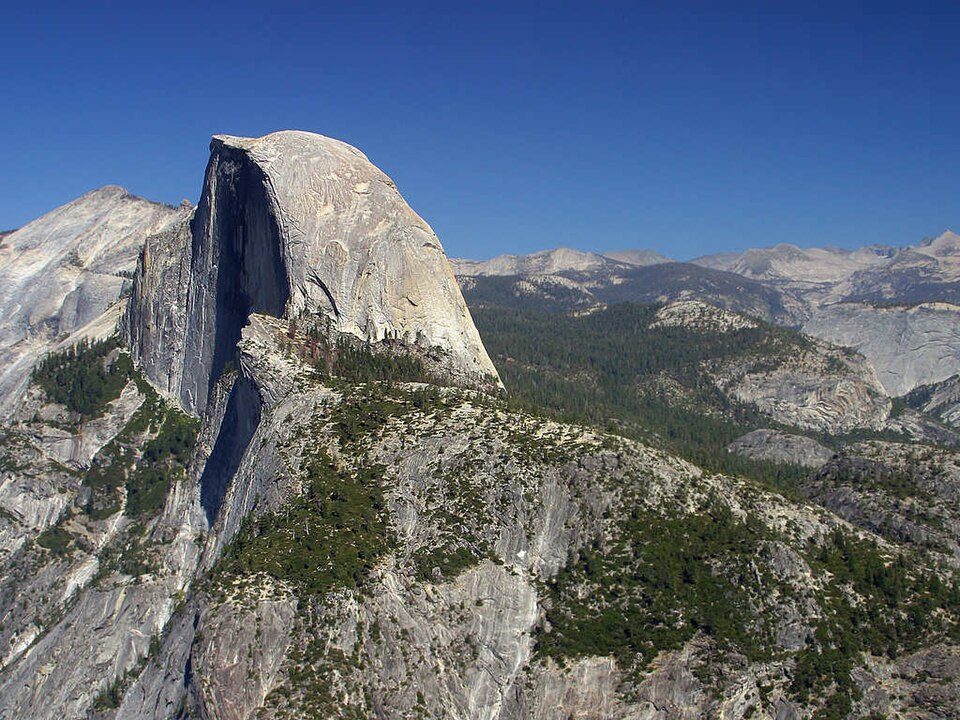 Big draw226 mi MountainHalf Dome
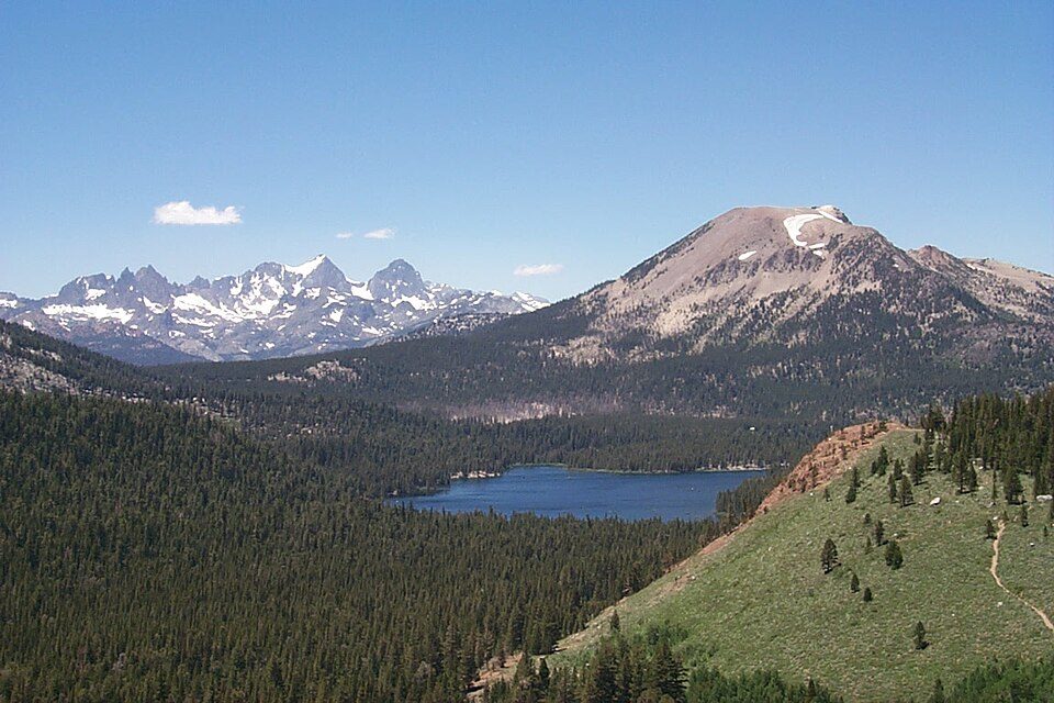 34 mi Ski areaMammoth Mountain153 runs · 2,962 ft vertical
 427 mi LakeMono Lake
 513 mi LakeConvict Lake
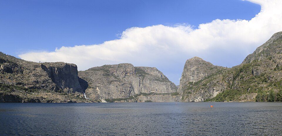 44 mi LakeHetch Hetchy
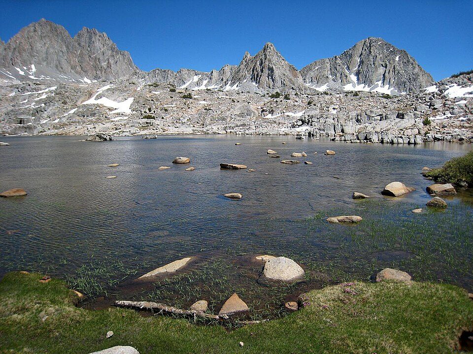 62 mi National ParkKings Canyon National Park780K visitors a year
 67 mi Park & preserveAnsel Adams Wilderness
Photo credits
Yosemite National Park: Thomas Wolf, www.foto-tw.de, CC BY-SA 3.0 · Half Dome: Jon Sullivan, Public domain · Mammoth Mountain: Hike395 (talk · contribs), CC BY 3.0 · Mono Lake: File:Mono lake sat.jpg: created by NASA Rotation and crop: Hike395, Public domain · Convict Lake: The original uploader was Geographer at English Wikipedia., CC BY 1.0 · Hetch Hetchy: Vulpinus2, CC BY-SA 4.0 · Kings Canyon National Park: NileGuide.com (Josh Steinitz), CC BY 2.0 · Ansel Adams Wilderness: Hike395 (talk · contribs), CC BY 3.0


99,652 visitors in 2025
Every full year the Park Service has counted. 2020 (gold) was the pandemic year. Green is the record (2019).
Visiting Devils Postpile
What town is Devils Postpile National Monument near?
Mammoth Lakes, CA, about 5 miles east.
When is the best time to visit Devils Postpile National Monument?
July and August, with highs of 71–72°. August is the busiest month (about 33,639 visitors).
How many people visit Devils Postpile National Monument each year?
99,652 in 2025, according to the National Park Service. The record is 147,864, set in 2019.
How far is Devils Postpile National Monument from Fresno?
About 70 miles southwest of Fresno, as the crow flies.
What is the closest airport to Devils Postpile National Monument?
Mammoth Yosemite (MMH), about 13 miles away. The nearest big hub is Fresno Yosemite (FAT), about 69 miles.
Where should I stay near Devils Postpile National Monument?
Mammoth Lakes (5 mi, 84 places to stay), June Lake (9 mi, 25 places to stay) and Crowley Lake (19 mi, 6 places to stay).
Tips from people in Mammoth Lakes
No tips yet. Ask, or answer, in Mammoth Lakes’s Town Square.
Sources: National Park Service · ski areas © OpenSkiMap / OpenStreetMap contributors · Wikidata · Wikipedia readership · National Park Service visitor use statistics · NOAA climate normals · U.S. Census.