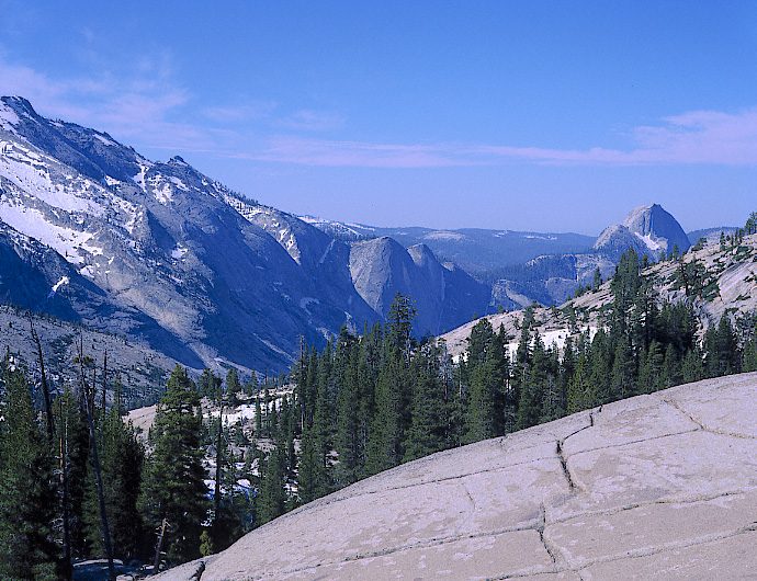
Olmsted Point
Olmsted Point is a viewing area off Tioga Pass Road in Yosemite National Park which offers a view south into Tenaya Canyon, giving, in particular, a view of the northern side of Half Dome, Clouds Rest, and a view of Tenaya Lake to the east. You will find it 7 mi northeast of Yosemite Valley. The first name on our list around it is Yosemite, 5.4 mi away.

An attraction, 7 mi northeast of Yosemite Valley
Yosemite Valley is the nearest base
Yosemite Valley is 7 miles southwest, with 17 places to stay. Where to stay ↓
A day trip from Fresno
Fresno is about 73 miles south (straight-line). Where to stay ↓
Best months: Jun, Jul, Aug and Sep
June, July, August and September are the mild months, with highs of 75–83°. When to go ↓
Written from NOAA 1991–2020 normals, Overture places to stay, Census town figures, Wikidata and Wikipedia.
When to go
Here is how the weather at Olmsted Point changes month by month.
Olmsted Point
Olmsted Point is a viewing area off Tioga Pass Road in Yosemite National Park which offers a view south into Tenaya Canyon, giving, in particular, a view of the northern side of Half Dome, Clouds Rest, and a view of Tenaya Lake to the east. The granite slopes immediately south and southwest of the parking lot feature numerous glacial erratics scattered about, as well as a short 0.125 mi (0.2 km) trail leading south - through a small grove of trees - to the top of a small granite dome where the view of Clouds Rest and Half Dome is clearest.
The site is named after landscape architects Frederick Law Olmsted and Frederick Law Olmsted Jr.
- Type
- Attraction
- Elevation
- 8,202 ft
- Wikipedia readers
- 2.9K a year
Towns to stay in near Olmsted Point
Hotels, motels or campgrounds are closest in Yosemite Valley (17) and Mammoth Lakes (84).
- 1Yosemite
- 2Half Dome
- 3Mono Lake
- 4Hetch Hetchy
- 5Yosemite Falls
- 6Mammoth Mountain
- 7Devils Postpile
- 8Glacier Point
Yosemite Valley
The closest town with somewhere to stay.
1,991 people
7 mi southwest of Olmsted Point
Compare 8 towns
| Town | From Olmsted Point | Drive | Places to stay | People | Typical home | Safety |
|---|---|---|---|---|---|---|
| Yosemite Valley | 7 mi southwest | 10 min | 17 8 hotels · 2 lodges & cabins · 7 campgrounds | 1,991 | — | — |
| Mammoth Lakes 57% vacation homes | 30 mi southeast | 45 min | 84 48 hotels · 2 motels · 5 inns & B&Bs · 16 lodges & cabins · 2 hostels · 10 campgrounds · 1 RV park | 6,867 | $867K | C |
| June Lake 70% vacation homes | 21 mi east | 30 min | 25 5 hotels · 1 motel · 9 lodges & cabins · 8 campgrounds · 2 RV parks | 209 | — | — |
| Yosemite West 66% vacation homes | 17 mi southwest | 25 min | 10 2 hotels · 1 inn or B&B · 7 lodges & cabins | 31 | — | — |
| Fish Camp 100% vacation homes | 24 mi south | 35 min | 13 5 hotels · 3 inns & B&Bs · 2 lodges & cabins · 3 campgrounds | — | — | — |
| Wawona 36% vacation homes | 20 mi southwest | 30 min | 7 1 hotel · 2 lodges & cabins · 4 campgrounds | 125 | $750K | — |
| Lee Vining 27% vacation homes | 22 mi northeast | 35 min | 9 4 motels · 1 lodge or cabins · 3 campgrounds · 1 RV park | 628 | $435K | — |
| Virginia Lakes 100% vacation homes | 20 mi northeast | 30 min | 5 1 hotel · 1 lodge or cabins · 3 campgrounds | — | — | — |
Getting there
Nearest airports with airline service
Places to add to Olmsted Point
Also within 30 miles are these.
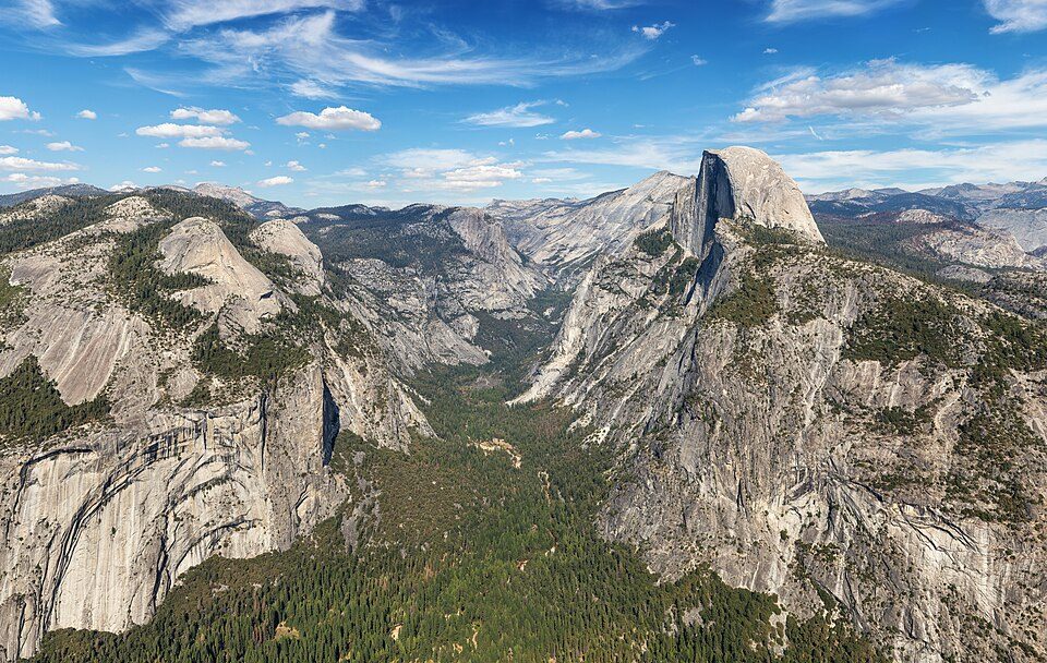 Big draw15 mi National ParkYosemite National Park4.3M visitors a year
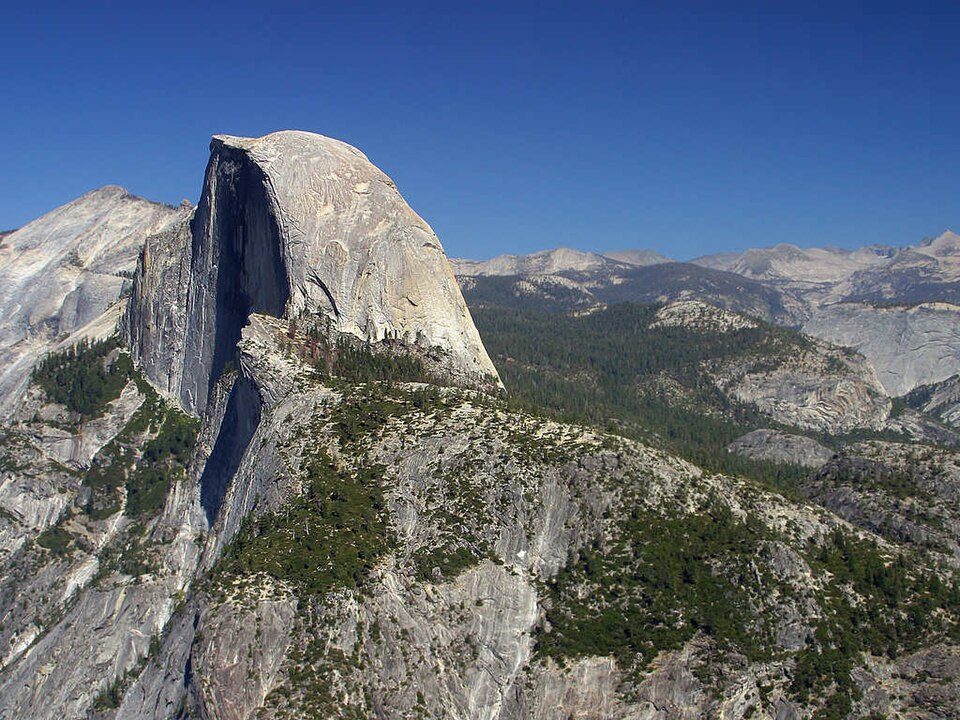 Big draw25 mi MountainHalf Dome
 330 mi LakeMono Lake
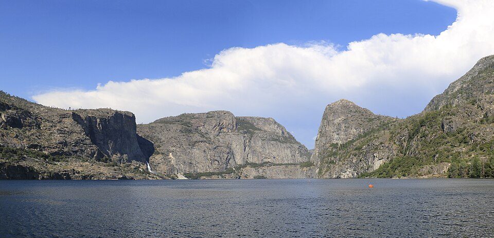 419 mi LakeHetch Hetchy
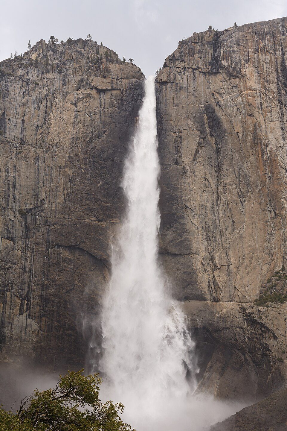 57 mi WaterfallYosemite Falls
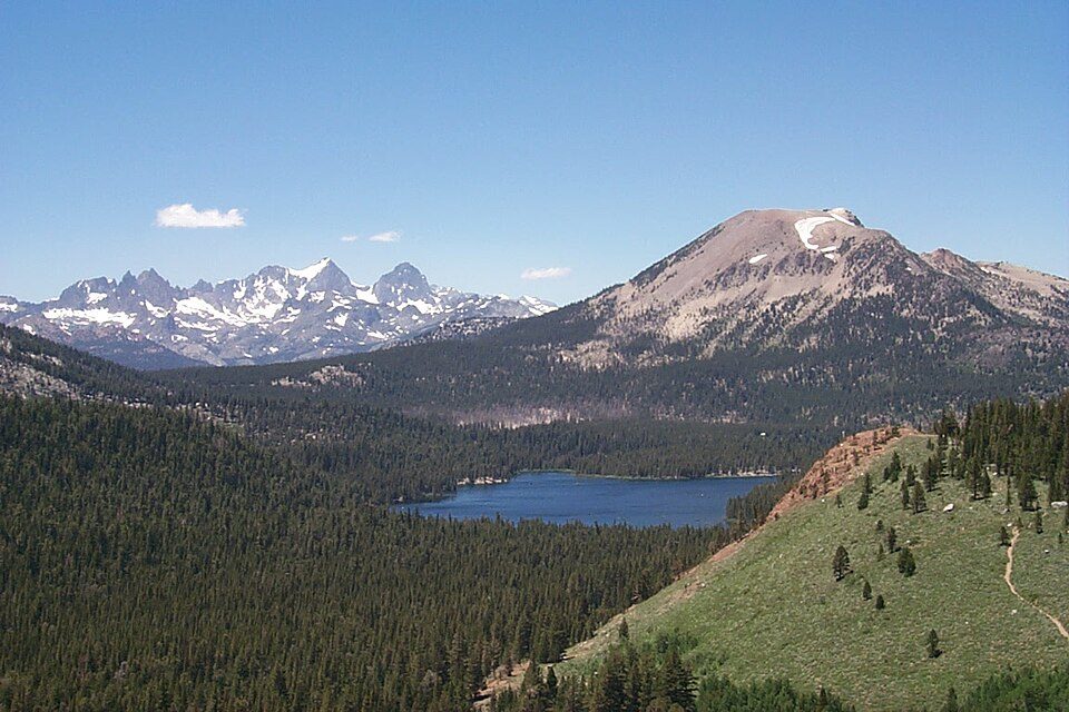 628 mi Ski areaMammoth Mountain153 runs · 2,962 ft vertical
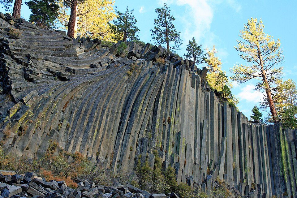 725 mi National MonumentDevils Postpile National Monument100K visitors a year
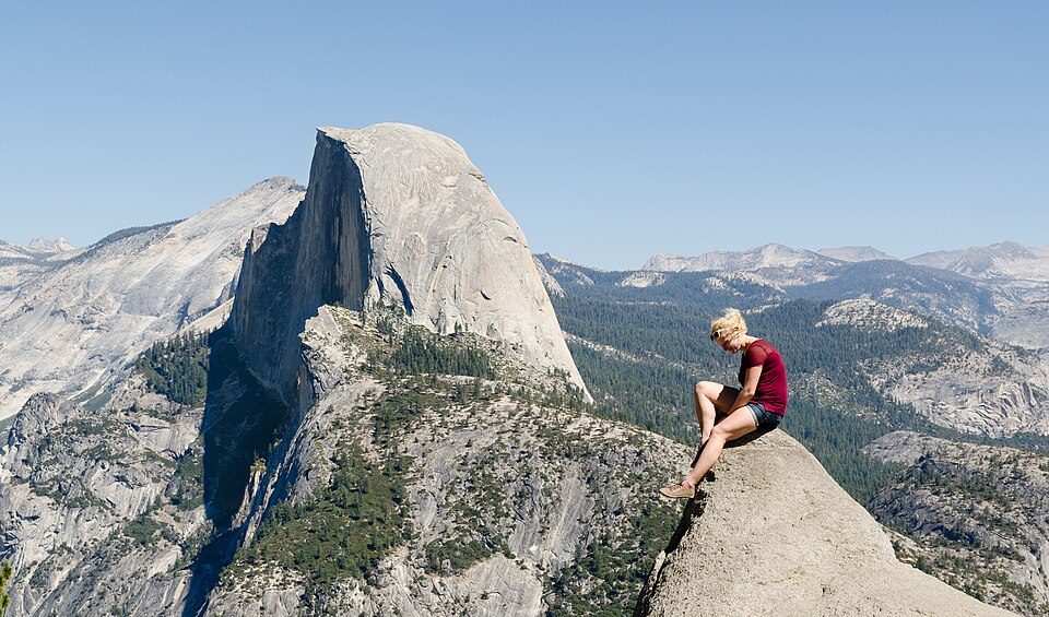 87 mi AttractionGlacier Point
Photo credits
Yosemite National Park: Thomas Wolf, www.foto-tw.de, CC BY-SA 3.0 · Half Dome: Jon Sullivan, Public domain · Mono Lake: File:Mono lake sat.jpg: created by NASA Rotation and crop: Hike395, Public domain · Hetch Hetchy: Vulpinus2, CC BY-SA 4.0 · Yosemite Falls: King of Hearts, CC BY-SA 4.0 · Mammoth Mountain: Hike395 (talk · contribs), CC BY 3.0 · Devils Postpile National Monument: Frank Kovalchek from Anchorage, Alaska, USA, CC BY 2.0 · Glacier Point: Tuxyso, CC BY-SA 3.0


Know before you visit Olmsted Point
What town is Olmsted Point near?
Yosemite Valley, CA, about 7 miles southwest.
When is the best time to visit Olmsted Point?
June, July, August and September, with highs of 75–83°.
How far is Olmsted Point from Fresno?
About 73 miles south of Fresno, as the crow flies.
What is the closest airport to Olmsted Point?
Mammoth Yosemite (MMH), about 37 miles away. The nearest big hub is Fresno Yosemite (FAT), about 73 miles.
Where should I stay near Olmsted Point?
Yosemite Valley (7 mi, 17 places to stay), Mammoth Lakes (30 mi, 84 places to stay) and June Lake (21 mi, 25 places to stay).
Locals’ advice in Yosemite Valley
Start the conversation in Yosemite Valley’s Town Square.
Sources: National Park Service · ski areas © OpenSkiMap / OpenStreetMap contributors · Wikidata · Wikipedia readership · NOAA climate normals · U.S. Census.