
Bridalveil Fall
Bridalveil Fall is one of the most prominent waterfalls in the Yosemite Valley in California. The pick nearby is Yosemite, 6.2 mi off. Highs of 75–83°F make June to September the mildest time to go.

A waterfall, 4 mi southwest of Yosemite Valley
Yosemite Valley is the nearest base
Yosemite Valley is 4 miles northeast, with 17 places to stay. Where to stay ↓
A day trip from Fresno
Fresno is about 65 miles south (straight-line). Where to stay ↓
Best months: Jun, Jul, Aug and Sep
June, July, August and September are the mild months, with highs of 75–83°. When to go ↓
Written from NOAA 1991–2020 normals, Overture places to stay, Census town figures and Wikipedia.
Month by month
Each month’s highs and lows around Bridalveil Fall are below.
Bridalveil Fall
Bridalveil Fall is one of the most prominent waterfalls in the Yosemite Valley in California.
The waterfall is 188 metres (617 ft) in height and flows year round.
- Type
- Waterfall
- Wikipedia readers
- 6.2K a year
A base for Bridalveil Fall
Close by, places to stay are in Yosemite Valley (17) and Yosemite West (10).
Yosemite Valley
The closest town with somewhere to stay.
1,991 people
4 mi northeast of Bridalveil Fall
Compare 8 towns
| Town | From Bridalveil Fall | Drive | Places to stay | People | Typical home |
|---|---|---|---|---|---|
| Yosemite Valley | 4 mi northeast | 5 min | 17 8 hotels · 2 lodges & cabins · 7 campgrounds | 1,991 | — |
| Yosemite West 66% vacation homes | 6 mi southwest | 10 min | 10 2 hotels · 1 inn or B&B · 7 lodges & cabins | 31 | — |
| Oakhurst | 26 mi south | 40 min | 44 22 hotels · 8 inns & B&Bs · 10 lodges & cabins · 3 campgrounds · 1 RV park | 6,091 | $393K |
| Fish Camp 100% vacation homes | 16 mi south | 25 min | 13 5 hotels · 3 inns & B&Bs · 2 lodges & cabins · 3 campgrounds | — | — |
| Wawona 36% vacation homes | 12 mi south | 20 min | 7 1 hotel · 2 lodges & cabins · 4 campgrounds | 125 | $750K |
| El Portal | 8 mi west | 10 min | 2 1 inn or B&B · 1 lodge or cabins | 505 | $248K |
| June Lake 70% vacation homes | 29 mi east | 45 min | 25 5 hotels · 1 motel · 9 lodges & cabins · 8 campgrounds · 2 RV parks | 209 | — |
| Midpines | 19 mi southwest | 30 min | 7 2 hotels · 1 inn or B&B · 2 lodges & cabins · 2 campgrounds | 160 | — |
Getting there
Nearest airports with airline service
Worth adding to a visit
These well-known sights sit within 41 miles.
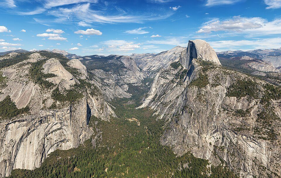 Big draw16 mi National ParkYosemite National Park4.3M visitors a year
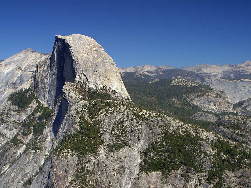 Big draw27 mi MountainHalf Dome
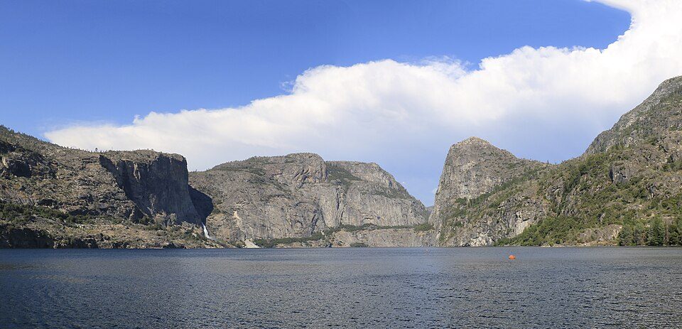 318 mi LakeHetch Hetchy
 40 mi LakeMono Lake
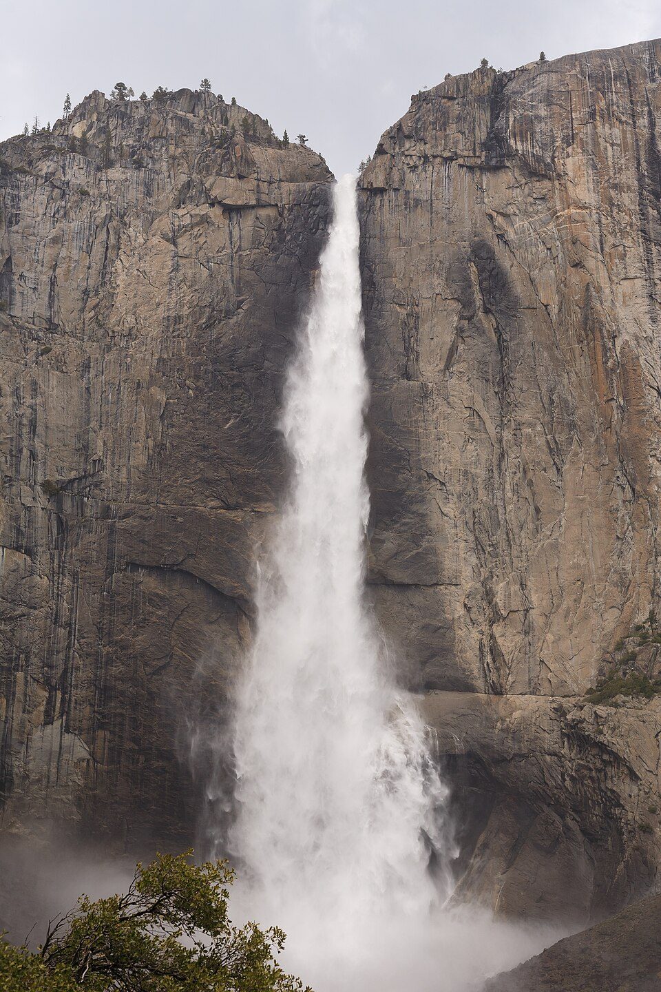 44 mi WaterfallYosemite Falls
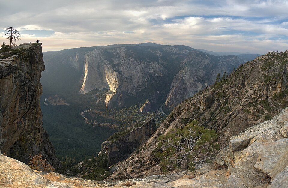 52 mi AttractionTaft Point
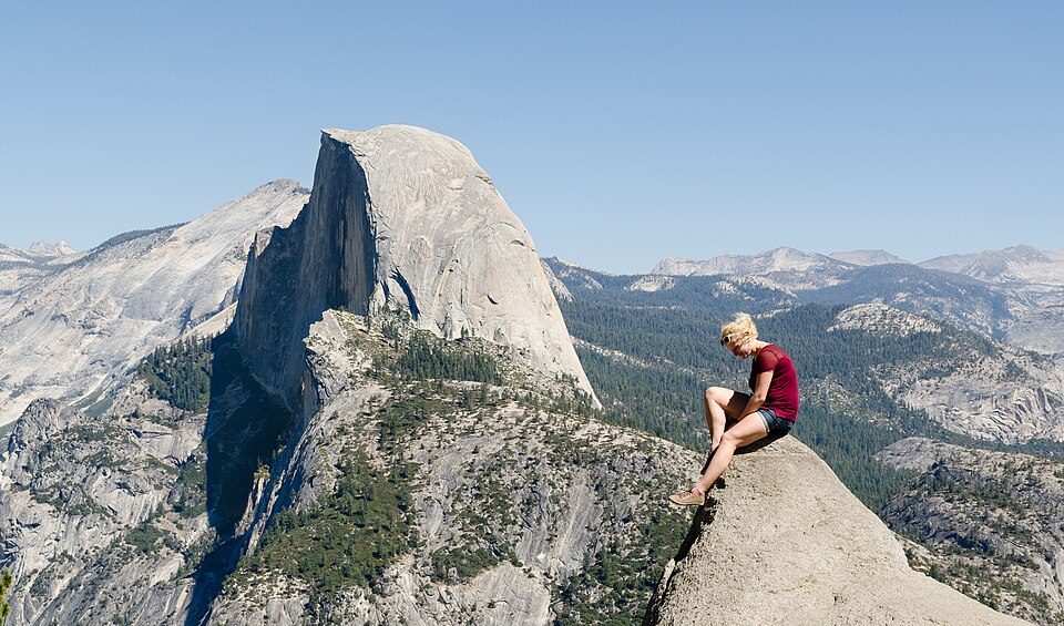 64 mi AttractionGlacier Point
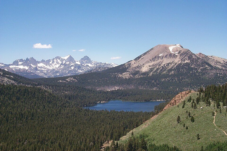 35 mi Ski areaMammoth Mountain153 runs · 2,962 ft vertical
Photo credits
Yosemite National Park: Thomas Wolf, www.foto-tw.de, CC BY-SA 3.0 · Half Dome: Jon Sullivan, Public domain · Hetch Hetchy: Vulpinus2, CC BY-SA 4.0 · Mono Lake: File:Mono lake sat.jpg: created by NASA Rotation and crop: Hike395, Public domain · Yosemite Falls: King of Hearts, CC BY-SA 4.0 · Taft Point: Dave from San Jose, CA, USA, CC BY 2.0 · Glacier Point: Tuxyso, CC BY-SA 3.0 · Mammoth Mountain: Hike395 (talk · contribs), CC BY 3.0


Good to know about Bridalveil Fall
What town is Bridalveil Fall near?
Yosemite Valley, CA, about 4 miles northeast.
When is the best time to visit Bridalveil Fall?
June, July, August and September, with highs of 75–83°.
How far is Bridalveil Fall from Fresno and Stockton?
About 65 miles south of Fresno and about 92 miles west of Stockton, as the crow flies.
What is the closest airport to Bridalveil Fall?
Mammoth Yosemite (MMH), about 44 miles away. The nearest big hub is Fresno Yosemite (FAT), about 65 miles.
Where should I stay near Bridalveil Fall?
Yosemite Valley (4 mi, 17 places to stay), Yosemite West (6 mi, 10 places to stay) and Oakhurst (26 mi, 44 places to stay).
Advice from Yosemite Valley
No one has shared advice yet; Yosemite Valley’s Town Square takes questions.
Sources: National Park Service · ski areas © OpenSkiMap / OpenStreetMap contributors · Wikidata · Wikipedia readership · NOAA climate normals · U.S. Census.