 #1
Ripponden
West Yorkshire · 4,775 peopleScore 72.7·#73 of 2,138 UK towns
Strongest: health A, schools A·lowest: walkability C+
Each edition grades its towns against each other only.
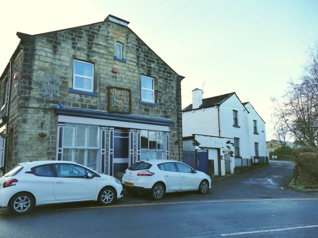
Ripponden, #1 on this list · Photo: Tim Green · CC BY 2.0Ripponden ranks first of 91 West Yorkshire towns of 2,500+ residents, and #73 of 2,138 UK towns. 16 of the 91 grade A− or better; scores run from 72.7 down to 22.7.
The overall score, sorted within West Yorkshire; the letter compares each town with every UK town, and its rank among UK towns sits beside it. How grades work
#1Score 72.7·#73 of 2,138 UK towns
Strongest: health A, schools A·lowest: walkability C+
 #2
Score 71.2·#100 of 2,138 UK towns
Strongest: schools A+, jobs & income A+·lowest: cost of living C−
 #3
Score 69.1·#153 of 2,138 UK towns
Strongest: jobs & income A, safety A·lowest: walkability C
By overall score against UK towns; ranks are within West Yorkshire, and each UK rank links to the national list. The score (0–100) blends the seven livability grades and sets the order; the letter places that score among UK towns of 2,500+, and A+ is the top 5%, so neighbours on the list often share a letter.
91 towns.
Ripponden ranks first of 91 graded towns of 2,500+: health (A) and schools (A) are its strongest grades; walkability (C+) is its lowest. Burley in Wharfedale and Shepley follow.
By the overall grade, which blends seven livability grades (cost of living, safety, schools, health, jobs & income, walkability, hazard risk) from public data, each comparing a town with every UK town. The rank is within West Yorkshire. How grades work.
The list covers places of 2,500+ residents with an overall grade. Smaller places, and towns missing figures the overall grade needs, show their subject grades on their own pages; every town in West Yorkshire is listed on the county page.
Sources: TownRatings grades: our own summary of the data, ranked against UK towns only. All under the Open Government Licence v3.0.
Contains public sector information licensed under the Open Government Licence v3.0. Contains HM Land Registry data © Crown copyright and database right 2026. Contains OS data © Crown copyright and database right 2026 (ONS boundaries). Northern Ireland: Source: NISRA; contains Land & Property Services data and Ordnance Survey of Northern Ireland information, © Crown copyright, licensed under the Open Government Licence v3.0. Scotland: contains National Records of Scotland data, Registers of Scotland data and SEPA data, © Crown copyright / © SEPA 2025, licensed under the Open Government Licence v3.0.