Carleton Martello Tower · Photo: Sajith T S · CC BY-SA 2.0
24historic places on the registers
History of Saint John · Canada’s heritage registers
Fort La Tour, from 1631, is Saint John’s oldest designated place
The typical town has 18% of its homes from before 1961; Saint John has 36%. On the registers the town counts 24 historic places, 14 at the top. Scaled to its population, 3 per 10,000 residents beats 90% of Canadian towns. Counted by designation, there are 6 provincial or municipal listings and 4 Recognized Federal Heritage Buildings.
provincial and municipal listings with an encyclopedia article
Oldest building
1631
the first construction date on its record
Homes built before 1961
36%
typical town: 18%
In pictures
See 12 of Saint John’s 14 places with the highest designations
Among Saint John’s top-tier places, 12 are pictured. There are photos here of 20 of Saint John’s designated places. Old pictures of 8 places in Saint John fill their own pages.
Photos from Wikimedia Commons, each credited to its photographer with its licence; names open the place’s page. Tap a photo to step through them full screen.
Through time
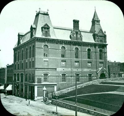
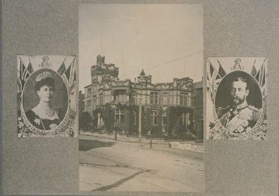
Pictures of Saint John from 1754 to 1910
By date: 8 old photographs of the town, with the oldest views of 8 of its historic places. Swipe along the strip; each picture opens at full size.
17501800185019001950New FranceBefore ConfederationConfederation to 1900Boom yearsThe wars and betweenAfter the war
Public domain or CC0, made before 1950, from Wikimedia Commons; old views of places can be drawings, prints or maps of their time. Each credit opens the image’s page.
How old
For Saint John, most dated places belong to the decades after Confederation
Each place by the first construction date on its record.
New France before 17602
British North America 1760–18669
After Confederation 1867–191310
Wars and Depression 1914–19450
Since 1946 1946 on2
Of the 23 with a date, 11 predate 1867.
How it began
Milestones of Saint John since 1604
For the municipality of Saint John itself, Wikidata records 1604, a date that can be a founding as much as a merger. Saint John takes its name from John the Baptist.
Every place on the registers inside the town, by its designation.
Highest designationsOther federal designationsProvincial and local listings400 m from Saint John City Market
7 of 14within 400 m of Saint John City Market, the heart of the town’s history
Names show on hover, and a tap takes you to the place’s page.
The 24, by tier
14 Highest designations4 Other federal designations6 Provincial and local listings
The federal directory kept by Parks Canada supplies most of these places; provincial and municipal lists outside Québec aren’t open data, so only the ones Wikidata documents with an article appear.
Points from Wikidata (Parks Canada’s files carry none) and from Québec’s register, as mapped there. 2 places, placed by their register’s municipality, have no point and aren’t on the map.
Highest designations
14 places in Saint John with the highest designation
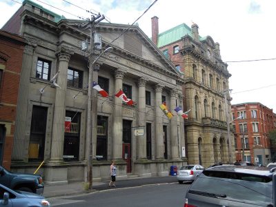
The oldest, Fort La Tour, dates from 1631; the newest from 1912. National Historic Sites and Classified Federal Heritage Buildings, Canada’s highest federal recognition. Designations came from 1923 to 2014. Each one opens its own page.
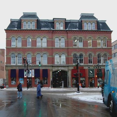
National Historic Site · 1854–18611 Chipman Hill1 Prince William Street / Chipman Hill
Other federal designations
4 more federal designations in Saint John
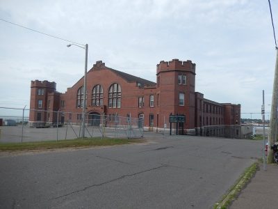
The oldest, Barrack Green Armoury, dates from 1911; the newest from 1960. Recognized Federal Heritage Buildings, heritage railway stations and lighthouses. They were designated between 1984 and 2006. Each one opens its own page.
Recognized Federal Heritage Building · 1952–1953Postal Station A Annex65 Canterbury Street
What’s designated
The list in Saint John starts with forts and military buildings, at 25%
All told, 8 kinds of place appear. 4 places make stations, lighthouses and bridges the second group. The top of the list holds Fort La Tour and Fort Charnisay.
Forts and military buildings6
Stations, lighthouses and bridges4
Churches and religious buildings3
Mills, shops and works2
Houses2
Public buildings2
Theatres, museums and memorials1
Other places4
The groups come from each place’s name and its recorded functions, by what it was built as.
Provincial and local listings
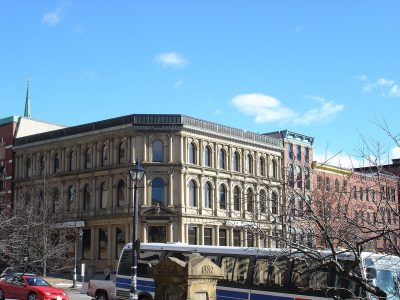
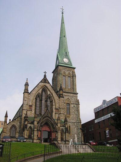
6 local listings in Saint John
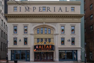
Provincial and municipal listings that Wikidata records and an encyclopedia describes. The oldest, Cathedral of the Immaculate Conception, dates from 1865; the newest from 1884. Each one opens its own page.
It began with Fort Charnisay in 1923. Since 2011, one more has joined the list.
Homes by age
Saint John added few homes from 2016 to 2021: 2.2%, where most towns have 4.1%
Homes built from 2001 to 2015 make up just 11% of Saint John’s, against 15% in the typical town. Few of Saint John’s homes date from 1981 to 2000: 17%, the norm 23%. 34% of Saint John’s homes were built from 1961 to 1980, more than the typical town’s 27%.
36%
Before 1961
34%
1961–80
17%
1981–2000
11%
2001–15
2.2%
2016–21
Saint JohnTypical town
2021 Census, private dwellings by period of construction (Statistics Canada); the typical town is the middle Canadian town of 2,500 or more.
Born here
Saint John’s 2 persons of national historic significance, and others
At the other end is Louis Murphy, from 1913. The earliest is Ward Chipman, born in 1787. By Wikipedia’s reach, Walter Pidgeon leads, with 37 articles. Counting only births before 1914, there are 119. The 20 best known are on the timeline.
Charles Wentworth Upham
Joseph Medill
James De Mille
Lawrence Stephen McMahon
George McCall Theal
George Frederic Matthew
George Edwin King
Edward Ignatius Devitt
Clara Arthur
Charles Joseph O'Reilly
Elmer Boyd Smith
William Francis Ganong
Francis Alexander Anglin
William Diller Matthew
Tom Daly
Walter Pidgeon
Laurence Manning
Jack Cummings
Frances James
Willy Logan
1800182518501875190019251950
Walter Pidgeon1897–1984 · Canadian actor
William Diller Matthew1871–1930 · American paleontologist
WL
Willy Logan1907–1955 · Canadian speed skater
William Francis Ganong1864–1941 · Person of national historic significance (1945) · Canadian botanist, …
Joseph Medill1823–1899 · American newspaper editor, publisher, and politician
George McCall Theal1837–1919 · On Canada’s list since 1937 · South African historian, archivist and …
JC
Jack Cummings1900–1989 · American film director and producer
Charles Wentworth Upham1802–1875 · American politician
Everyone born in Saint John → Born before 1914. Birthplaces from Wikidata, each checked against Wikipedia; national historic persons from Parks Canada’s Directory of Federal Heritage Designations, matched by name and life years.
Towns its size
Saint John has the most of 16 towns its size
Towns of 71,200 to 91,300 residents, by places on the registers.
In Saint John, 36% of homes were built before 1961, against 18% in the typical town. The lists come to 24 historic places, 14 with the highest designation, including Fort La Tour. It tops the 16 towns nearest its size for historic places. Within 400 m of Saint John City Market stand 7 of the town’s places of the highest designation. Of its people of the past, the best known are Walter Pidgeon (1897), William Diller Matthew (1871) and Willy Logan (1907).
How to read these numbers
What this data can and can’t tell you
•
Protection. National historic designation honours a place but binds only federal owners; a private building’s protection depends on its province or municipality.
•
Provincial and municipal lists. Provincial and municipal listings here come from Wikidata alone, since the provinces’ own registers can’t be reused; a listing needs an encyclopedia article to get a page.
•
People and events. The open directory puts its national historic persons nowhere, so a town shows one only on firm ground: a birth there, matched by name and life years, or a historic place there named for the person whose record says so. Events are left out.
•
The grade. There is no history grade: the page sets out the record and compares it with other towns.
•
The tiers. Tiers follow the designation: national recognition and classement first, other federal designations next, provincial and local listings last.
•
Map points. Federal places get their map points from Wikidata, since Parks Canada’s files carry none; they are as mapped there.
•
The federal register. Parks Canada’s Directory of Federal Heritage Designations lists every National Historic Site, federal heritage building, heritage railway station and lighthouse; the Canadian Register of Historic Places adds their statements in English and French.
Questions about Saint John’s history
What is the oldest building in Saint John?
By its record, Fort La Tour, from 1631 (National Historic Site).
How old are the homes in Saint John?
36% predate 1961, where the typical town has 18%.
Which places in Saint John have the highest designation?
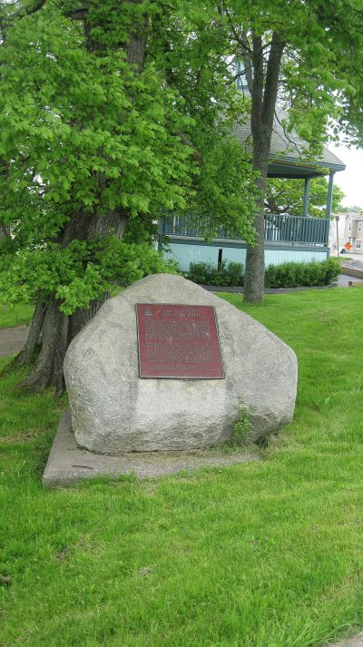
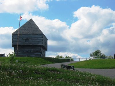
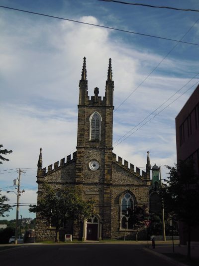
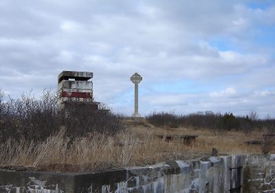
These: Fort La Tour, Fort Charnisay, Fort Howe, Loyalist House, Carleton Martello Tower and St. John's Anglican Church / Stone Church, and 8 more.
Why might a heritage building in Saint John be missing here?
Provincial and municipal registers outside Québec aren’t open data. Wikidata knows 6 more listings in Saint John, but without an open description or an encyclopedia article they get no page.
Contains information licensed under the Open Government Licence – Canada (Parks Canada).
Sources: Parks Canada, Directory of Federal Heritage Designations · Canadian Register of Historic Places (federal extract) · Wikidata (CC0) for map points, other names and articles · Statistics Canada, 2021 Census (homes by period of construction). Under the Statistics Canada Open Licence.


 1754
 1851
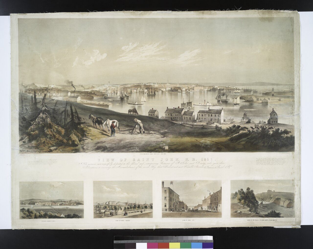 1851
 1899
 1899
 1895–1905
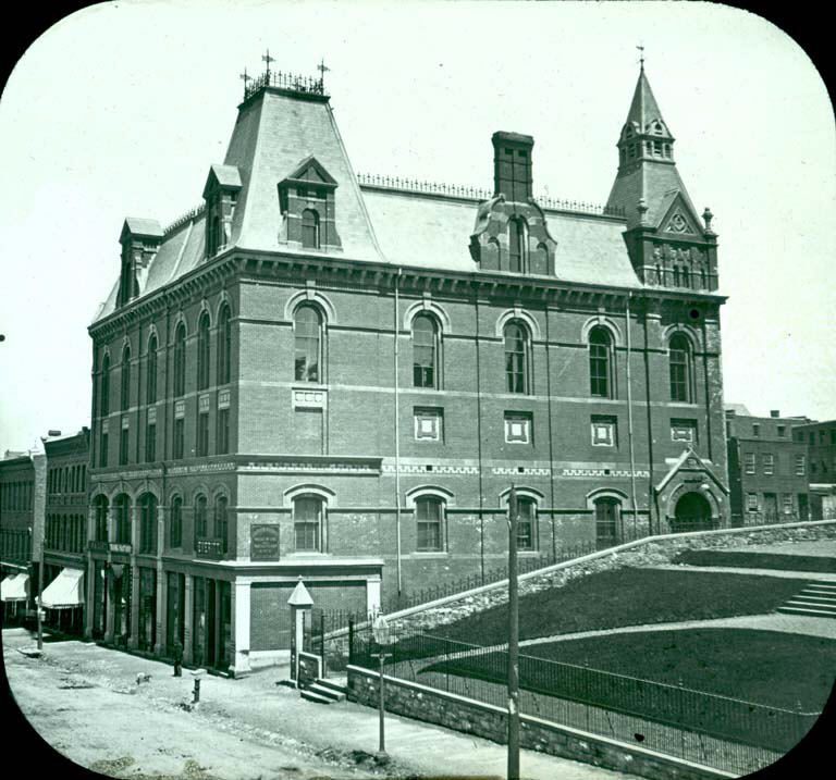 c. 1900
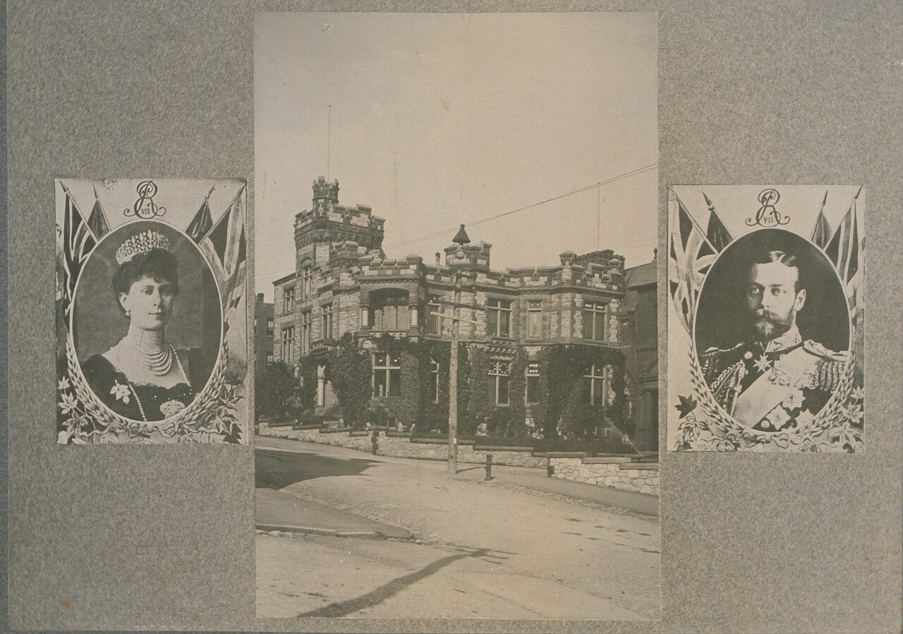 c. 1902
 c. 1902
 c. 1902
 c. 1903
 1904
 c. 1905
 c. 1910
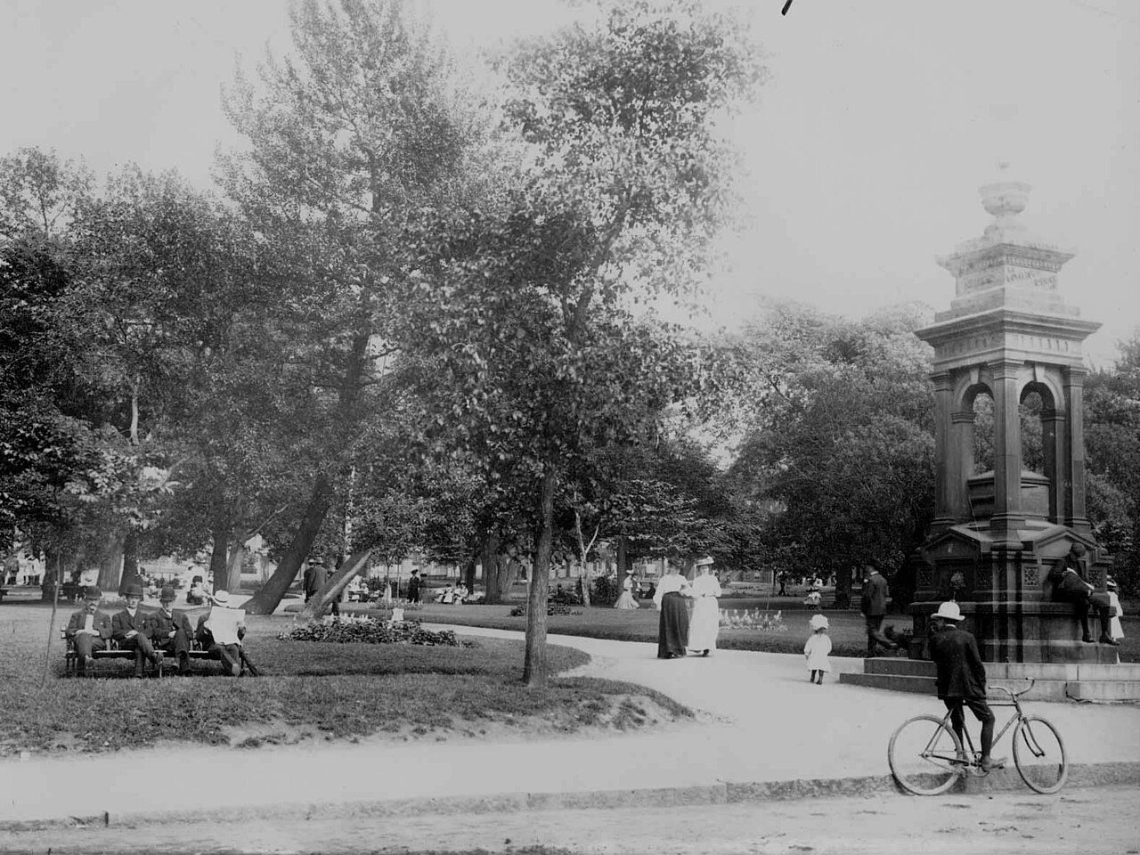 c. 1910
 c. 1910
 Top
 Top
 Top
 Top
 Top
 Top
 Top
 Top
 Top
 Top
 Top
 Top
 Fed
 Fed
 Local
 Local
 Local
 Local
 Local
 Local


