Ramapo dates to 1791, and 22 of its places are on the National Register
More historic than 64% of U.S. towns · #573 of 758 in New York. What drives it
Most of Ramapo was built recently: 9% of its homes predate 1940 and the median home dates from 1974. Below: maps from 1910 on and the census since 1820.
Founding year: Wikidata. First post office: 1797.The full story ↓
History grade
What drives Ramapo’s History grade
On its age, its old homes and the National Register, Ramapo is more historic than 64% of U.S. towns, #573 of 758 in New York. Its age holds the grade up; its share of homes from before 1940 pulls it down.
B
HistoryA character grade: shown, never part of Ramapo’s overall grade.
Among the 400 U.S. cities of 100,000 or more, Ramapo ranks #198 on History.
New York towns list more on the Register than most of the country (a typical New York town has 12.3 per 10,000 residents, the U.S. 2.4), so Ramapo’s 2.6 sits below most of its state (27% of New York towns have fewer) while its 39 historic buildings outnumber those of 83% of U.S. towns.
NoteThe founding year comes from Wikidata alone; no second source gives 1791.
How sure. Graded on any two of the three inputs instead, the letter would range from B− to B+. The pre-1940 share (±1.1 points) is firm at this size.
Founding year: Wikidata (other dates in Quick answers). Homes: Census ACS 2020–24. National Register: National Park Service, May 2026 list; each listing counted once (boundary changes and added documentation belong to their listing), and a historic district counts its contributing buildings. How TownRatings grades history →
What stands out about Ramapo’s past
Read from the archive, the National Register and the record. The page puts what stands out first.
First Church of Christ ScientistchurchNike Site NY-99CmilitaryNike Site NY-99LmilitaryNorth Main Street Public SchoolschoolRockland Drive-InlocaleSaint Joseph SchoolschoolSouth Main Street Public Schoolschool
2cemeteries and burying grounds inside Ramapo
AirmontMaple Grove
US Post Offices dataset (Blevins & Helbock, CC0). Places and cemeteries from the USGS Geographic Names Information System (2021).
Help out
Start Ramapo’s collection
The first neighbors to add old photos shape how Ramapo’s history is told.
Decades since 1900 with photos
00s10s20s30s40s50s60s70s80s90s
0 of 10 decades. The empty ones are waiting for someone’s album.
The present-day town was originally inhabited by the Munsee, a band of the Lenape nation. Their descendants now live on Stag Hill in Mahwah, New Jersey, where they form the New Jersey-recognized Ramapo Lenape Nation.
The New Jersey and New York Railroad Company was organized April 3d 1880. As at present run this road enters the town of Ramapo at Spring Valley, and proceeding almost due north, leaves the town about a mile and a half north of Pomona station. Along its line in the town are Spring Valley, Union Station, New Hempstead, Alexis Station, and Pomona.
Text read by machine from the scan; it may contain errors.
But a short distance above this factory there is another, belonging to a fine estate situated just on the eastern side of the village of Spring Valley, a portion of it being in the town of Ramapo. In the time of the war of 1812, this property was owned by Cornelius Blauvelt, and the water power was utilized by him for running a saw and grist mill. At what time he sold it, is uncertain, but it was used by the purchaser, James Eckerson, for
Text read by machine from the scan; it may contain errors.
Scans and text from the Internet Archive. Books published in 1930 or earlier, which are in the public domain.
Timeline
Ramapo, 1781 to 1954
Woven from the archive, old maps, post office records, the National Register and the people born here.
In 1791, according to Wikidata. Ramapo’s post office opened in 1797, and the census of 1820 counted 2,072 people here.
How does Ramapo rank for history?
Ramapo is more historic than 64% of U.S. towns, #573 of 758 in New York. The History grade combines the town’s founding era, the share of homes built before 1940 and its National Register listings. It’s a character grade, so it isn’t part of the overall grade. How it works.
What is on the National Register in Ramapo?
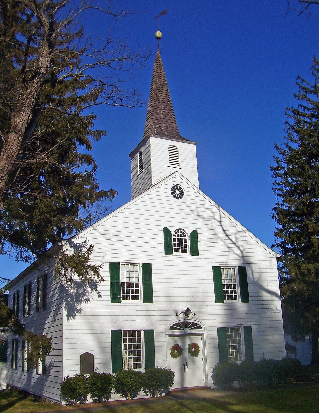
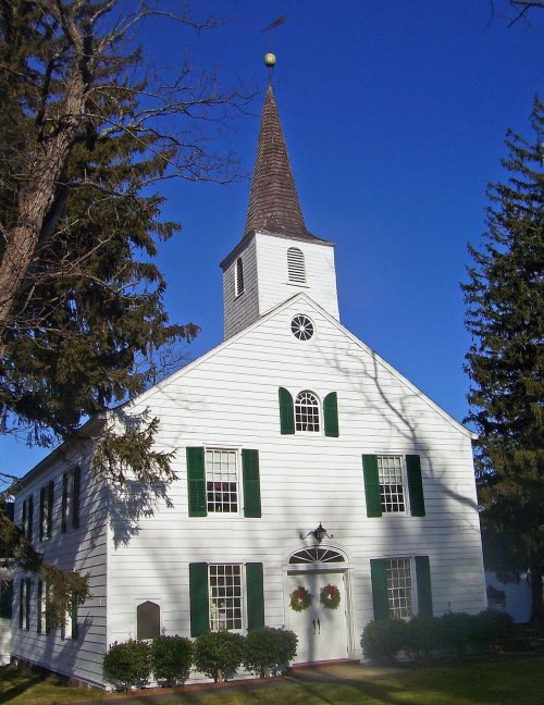
22 listings: 19 buildings, among them the Sloat House (listed 1974, the first), 1 site, 1 structure, and 1 object. 39 historic buildings in all.
How old are the homes in Ramapo?
9% of Ramapo’s homes were built before 1940 (Census estimate, ±1.1 points), against a typical 27% for a New York town; the median home was built in 1974.
Founding dates: Wikidata, Wikipedia, the U.S. post office records of Blevins & Helbock (CC0) and the Census. Homes by year built: Census ACS 2020–24. National Register of Historic Places: National Park Service (list of May 22, 2026). Old photos, postcards and papers: Wikimedia Commons, the Library of Congress and other public archives, credited on each item’s page. Maps: U.S. Geological Survey historical topographic maps (via Esri) and Sanborn fire-insurance maps (Library of Congress). History text and census tables: Wikipedia (CC BY-SA 4.0). Places that used to be: USGS Geographic Names Information System (2021).
From Wikimedia Commons (17), Wikidata (1), the National Register of Historic Places (22), Wikipedia, Wikidata and Wikipedia for famous people, U.S. Geological Survey historical maps, U.S. Census counts (via Wikipedia), the US Post Offices dataset (Blevins & Helbock), the USGS Geographic Names Information System and old county and town histories (Internet Archive). Archive images are copied here with their credits and licenses, shown on each photo’s page. Refreshed monthly.







 2011
 2011
 2011
 2011
 2011
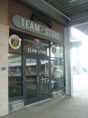 2011
 2010
 2009
 2009
 2009
 2008
 2007
 2007
 2007
 2006
 2005
 2002


