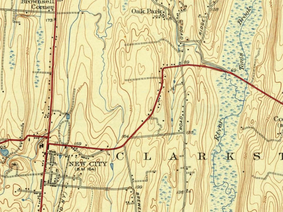
Before the Revolutionary War, the land that would later become known as New City was inhabited mostly by Lenni Lenape American Indians. The Dutch were the first Europeans to settle in the area. Orange County was established in 1683 as one of the first 12 counties in Province of New York, which included present day Rockland County. In 1780, Major John André and Josh Hett Smith stopped at Coe's Tavern, located on what is now the corner of New Hempstead Road and Route 45.
When the post-office was established here is uncertain; but it is believed that this and the office at New City are the oldest ones in Clarkstown. In early times the mail, in the summer season, came from New York to Tappan by boat, thence to this place overland, then to New City and Haverstraw, and back by the way of Rockland Lake.
Text read by machine from the scan; it may contain errors.
In 1827-28 the present Court House was built. It is situated on an elevated plot of about one acre ot ground overlooking the village of New City, and facing its main street. The prominent structure is of brick, two stories in height, and is surmounted by a wooden cupola. Previous to the erection of the jail it was used for the confinement of prisoners. The clerk’s office was a fire proof brick building adjacent to the Court House. Various al-
Text read by machine from the scan; it may contain errors.
Scans and text from the Internet Archive. Books published in 1930 or earlier, which are in the public domain.
Timeline
New City, 1796 to 1960
Woven from the archive, old maps, post office records, the National Register and the people born here.
Founding dates: Wikidata, Wikipedia, the U.S. post office records of Blevins & Helbock (CC0) and the Census. Homes by year built: Census ACS 2020–24. National Register of Historic Places: National Park Service (list of May 22, 2026). Old photos, postcards and papers: Wikimedia Commons, the Library of Congress and other public archives, credited on each item’s page. Maps: U.S. Geological Survey historical topographic maps (via Esri) and Sanborn fire-insurance maps (Library of Congress). History text and census tables: Wikipedia (CC BY-SA 4.0). Places that used to be: USGS Geographic Names Information System (2021). How TownRatings grades history →
From Wikimedia Commons (6), Wikipedia, Wikidata and Wikipedia for famous people, U.S. Geological Survey historical maps and old county and town histories (Internet Archive). Archive images are copied here with their credits and licenses, shown on each photo’s page. Refreshed monthly.


 2012
 2009
 2008
 2007
 2007
 2006