Palatine dates to 1788, and 31% of its homes were built before 1940
More historic than 96% of U.S. towns · #101 of 758 in New York. What drives it
17 places in town are on the National Register, among them two historic districts with 265 buildings between them. Below: 2 old photos and papers, maps from 1898 on, and the census since 1820.
Founding year: Wikidata. First post office: 1798.The full story ↓
History grade
What drives Palatine’s History grade
On its age, its old homes and the National Register, Palatine is more historic than 96% of U.S. towns, #101 of 758 in New York. All 3 inputs are above most U.S. towns; its National Register listings ranks highest and its age lowest.
A+
HistoryA character grade: shown, never part of Palatine’s overall grade.
New York towns list more on the Register than most of the country (a typical New York town has 12.3 per 10,000 residents, the U.S. 2.4), so Palatine’s 922 sits above most of its state (95% of New York towns have fewer) while its 295 historic buildings outnumber those of 95% of U.S. towns.
NoteThe founding year comes from Wikidata alone; no second source gives 1788.
How sure. Graded on any two of the three inputs instead, the letter would range from A to A+. The pre-1940 share is a Census survey estimate (±8.2 points).
Founding year: Wikidata (other dates in Quick answers). Homes: Census ACS 2020–24. National Register: National Park Service, May 2026 list; each listing counted once (boundary changes and added documentation belong to their listing), and a historic district counts its contributing buildings. How TownRatings grades history →
What stands out about Palatine’s past
Read from the archive, the National Register and the record. The page puts what stands out first.
Settlers in the area in the mid-18th century were primarily Palatines, Germans from the Palatinate region. Suffering from French raids in their native territory, they had become refugees. Queen Anne of England arranged for the transport of several thousand Palatines to the colony in 1710 and later; they first worked in camps run by the English along the Hudson River to pay off the cost of passage.
The Palatines built the Palatine Church in 1770, which still holds Lutheran services. It was listed on the National Register of Historic Places in 1973.
Passages that mention Palatine, cut from the printed page as they were published.
A history of Herkimer county, including the upper Mohawk valley, from the earliest period to the present time1856 · page 346Read the page →
Read the text
May, 1770, about two miles west of the city. His parents were Germans, or of German descent. He received his English common school education, while quite young, at Schenectady. This name is found in the list of Palatine immigrants, who came over in 1710, but his ancestors were not among the Burnetsfield patentees. Judge Maikell's father came to Stone Arabia, in the present town of Palatine, Montgomery county, at an early period, but whether before
Text read by machine from the scan; it may contain errors.
A history of Herkimer county, including the upper Mohawk valley, from the earliest period to the present time1856 · page 437Read the page →
Read the text
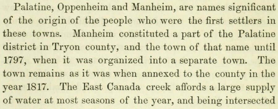
Palatine, Oppenheim and Manheim, are names significant of the origin of the people who were the first settlers in these towns. Manheim constituted a part of the Palatine district in Tryon county, and the town of that name until 1797, when it was organized into a separate town. The town remains as it was when annexed to the county in the year 1817. The East Canada creek affords a large supply of water at most seasons of the year, and being intersected
Text read by machine from the scan; it may contain errors.
Scans and text from the Internet Archive. Books published in 1930 or earlier, which are in the public domain.
Timeline
Palatine, 1770 to 1907
Woven from the archive, old maps, post office records, the National Register and the people born here.
Lost post offices, old corners, places now gone and burying grounds
Palatine had its own post office from 1798 to 1869. Two other post offices opened and closed inside today’s town.
Palatine
1798–1869
Palatine Bridge
1814–today
Stone Arabia
1830–1907
Nelliston
1889–today
McKinley
1892–1904
17901910today
Hamlets and corners on the map
Cook CornersEast Stone ArabiaMcKinleyNellistonPalatine BridgeStone Arabia
Gone or out of use
Montgomery County HomebuildingNelliston Public SchoolschoolNestle SchoolschoolSchool Number 10schoolSchool Number 11schoolSchool Number 4schoolSchool Number 6school
6cemeteries and burying grounds inside Palatine
DillenbackMontgomery County HomeNellistonNestlePalatine BridgeSitterly
US Post Offices dataset (Blevins & Helbock, CC0). Places and cemeteries from the USGS Geographic Names Information System (2021).
Stories next door
History across the town line
Each neighbor’s History grade, on the same three inputs.
In 1788, according to Wikidata. Palatine’s post office opened in 1798, and the census of 1820 counted 3,936 people here.
How does Palatine rank for history?
Palatine is more historic than 96% of U.S. towns, #101 of 758 in New York. The History grade combines the town’s founding era, the share of homes built before 1940 and its National Register listings. It’s a character grade, so it isn’t part of the overall grade. How it works.
What is on the National Register in Palatine?
17 listings: 15 buildings, among them the Palatine Church (listed 1973, the first), and 2 historic districts, the Nelliston Historic District and the Palatine Bridge Historic District, with 265 contributing buildings. 295 historic buildings in all.
How old are the homes in Palatine?
31% of Palatine’s homes were built before 1940 (Census estimate, ±8.2 points), against a typical 27% for a New York town; the median home was built in 1973.
Founding dates: Wikidata, Wikipedia, the U.S. post office records of Blevins & Helbock (CC0) and the Census. Homes by year built: Census ACS 2020–24. National Register of Historic Places: National Park Service (list of May 22, 2026). Old photos, postcards and papers: Wikimedia Commons, the Library of Congress and other public archives, credited on each item’s page. Maps: U.S. Geological Survey historical topographic maps (via Esri) and Sanborn fire-insurance maps (Library of Congress). History text and census tables: Wikipedia (CC BY-SA 4.0). Places that used to be: USGS Geographic Names Information System (2021).
From Wikimedia Commons (3), the National Register of Historic Places (17), Wikipedia, Wikidata and Wikipedia for famous people, U.S. Geological Survey historical maps, U.S. Census counts (via Wikipedia), the US Post Offices dataset (Blevins & Helbock), the USGS Geographic Names Information System and old county and town histories (Internet Archive). Archive images are copied here with their credits and licenses, shown on each photo’s page. Refreshed monthly.




 Date?
 2010


