Founding year: Wikidata. First post office: 1792.The full story ↓
History grade
What drives Canajoharie’s History grade
On its age, its old homes and the National Register, Canajoharie is among the most historic 1% of U.S. towns. All 3 inputs are above most U.S. towns; its share of homes from before 1940 ranks highest and its age lowest.
A+
HistoryA character grade: shown, never part of Canajoharie’s overall grade.
New York towns list more on the Register than most of the country (a typical New York town has 12.3 per 10,000 residents, the U.S. 2.4), so Canajoharie’s 4,568 sits above most of its state (100% of New York towns have fewer) while its 840 historic buildings outnumber those of 98% of U.S. towns.
NoteThe founding year comes from Wikidata alone; no second source gives 1788.
How sure. Graded on any two of the three inputs instead, the letter would still be A+. The pre-1940 share is a Census survey estimate (±8.7 points).
Founding year: Wikidata (other dates in Quick answers). Homes: Census ACS 2020–24. National Register: National Park Service, May 2026 list; each listing counted once (boundary changes and added documentation belong to their listing), and a historic district counts its contributing buildings. How TownRatings grades history →
What stands out about Canajoharie’s past
Read from the archive, the National Register and the record. The page puts what stands out first.
Fire insurance maps drew every building, what it was made of and what it was used for, so insurers could price the risk of fire. Pick a year, then a sheet.
The town is near the former site of Canajoharie (Mohawk: Kana’tsioharé:ke), an important village of the Mohawk nation that also became known as the Upper Castle. The Mohawk had as their territory most of the central area of present-day New York, from the Hudson River west to where Oneida territory started. They dominated the fur trade with the French based in central Quebec, and with Dutch and later English in eastern New York. French, Dutch and later English trappers and traders came to this Mohawk village to trade. Both the French and Dutch married or had unions with Mohawk women, increasing their ties with the people. Their mixed-race children married into the Dutch and later English communities. Many of their sons also became interpreters or traders.
educated in the Elysium School and Mount Kisco Seminary. In 1859 he came to Canajoharie and engaged in the hotel business which he followed four years and was four years in the undertaking and furniture business. He then took up carpentry and iniU-wrighting and took contracts for the construction of a great many of the most prominent buildings in this section, among them being the building for the Pettit Manufacturing Company, the Shaper Block, the Smith residence in Palatine, the Philip Betts residence in Canajoharie, the residence of Senator Arkell, the rebuilding of the Reformed Church, the Canajoharie Union School building and many other smaller
Text read by machine from the scan; it may contain errors.
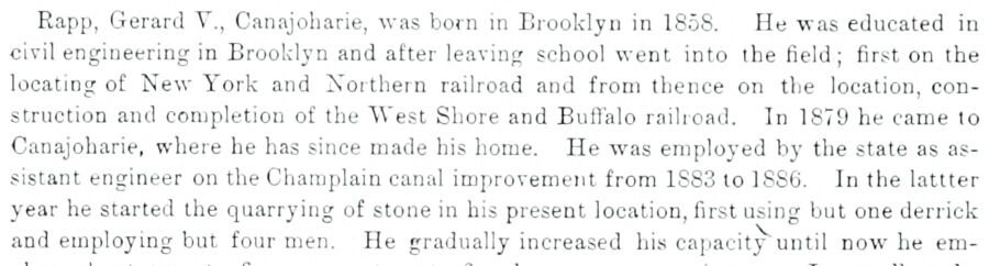
Rapp, Gerard V., Canajoharie, was born in Erooklyn in 1858. He was educated in civil engineering in Brooklyn and after leaving school went into the field ; first on the locating of New York and Northern railroad and from thence on the location, construction and completion of the West Shore and Buffalo railroad. In 1879 he came to Canajoharie, where he has since made his home. He was employed by the state as assistant engineer on the Charaplain canal improvement from 1883 to 18S6. In the lattter year he started the quarrying of stone in his present location, first using but one derrick and employing but four men. He gradually increased hi.s capacity until now he em-
Text read by machine from the scan; it may contain errors.
Scans and text from the Internet Archive. Books published in 1930 or earlier, which are in the public domain.
Timeline
Canajoharie, 1788 to 1910
Woven from the archive, old maps, post office records, the National Register and the people born here.
Nothing in the archives for these yearsWeddings on Main Street, storms, parades, school pictures, the old store. If it’s in your family album, it belongs here.
In 1788, according to Wikidata. Canajoharie’s post office opened in 1792, and the census of 1820 counted 4,677 people here.
How does Canajoharie rank for history?
Canajoharie is among the most historic 1% of U.S. towns. The History grade combines the town’s founding era, the share of homes built before 1940 and its National Register listings. It’s a character grade, so it isn’t part of the overall grade. How it works.
How old are the homes in Canajoharie?
67% of Canajoharie’s homes were built before 1940 (Census estimate, ±8.7 points), against a typical 27% for a New York town; the median home was built in 1938.
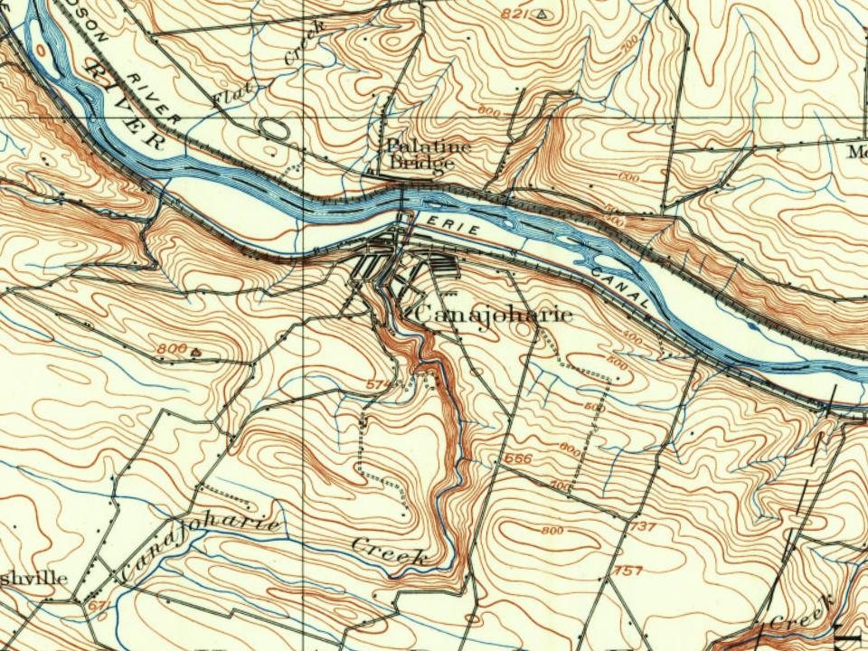
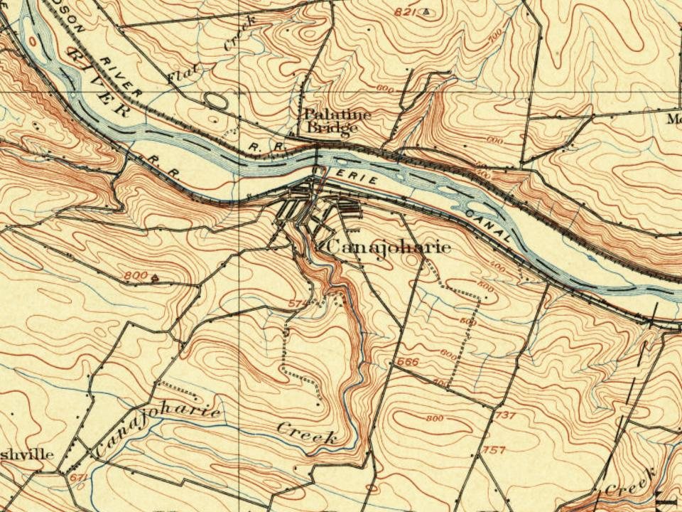
Founding dates: Wikidata, Wikipedia, the U.S. post office records of Blevins & Helbock (CC0) and the Census. Homes by year built: Census ACS 2020–24. National Register of Historic Places: National Park Service (list of May 22, 2026). Old photos, postcards and papers: Wikimedia Commons, the Library of Congress and other public archives, credited on each item’s page. Maps: U.S. Geological Survey historical topographic maps (via Esri) and Sanborn fire-insurance maps (Library of Congress). History text and census tables: Wikipedia (CC BY-SA 4.0). Places that used to be: USGS Geographic Names Information System (2021).
From Wikimedia Commons (12), Wikipedia, Wikidata and Wikipedia for famous people, U.S. Geological Survey historical maps, U.S. Census counts (via Wikipedia), Sanborn fire insurance maps (Library of Congress) and old county and town histories (Internet Archive). Archive images are copied here with their credits and licenses, shown on each photo’s page. Refreshed monthly.








 1907
 1907
 1909
 1909
 c. 1910
 c. 1910
 c. 1910
 1910
