On its age, its old homes and the National Register, Clinton is more historic than 85% of U.S. towns, #354 of 758 in New York. All 2 inputs are above most U.S. towns; its share of homes from before 1940 ranks highest and its National Register listings lowest.
A−
HistoryA character grade: shown, never part of Clinton’s overall grade.
New York towns list more on the Register than most of the country (a typical New York town has 12.3 per 10,000 residents, the U.S. 2.4), so Clinton’s 31.9 sits near the middle of its state (63% of New York towns have fewer) while its 13 historic buildings outnumber those of 77% of U.S. towns.
How sure. Graded on two of the three inputs, so a change in either one moves the letter more than it would with three. The pre-1940 share is a Census survey estimate (±6.5 points).
Founding year: our sources. Homes: Census ACS 2020–24. National Register: National Park Service, May 2026 list; each listing counted once (boundary changes and added documentation belong to their listing), and a historic district counts its contributing buildings. How TownRatings grades history →
What stands out about Clinton’s past
Read from the archive, the National Register and the record. The page puts what stands out first.
The current boundaries of the town of Clinton were set in 1821. The general area was part of a British land grant in 1697 known as the Great Nine Partners Patent. In 1734, a soil survey was done in the Great Nine Partners patent running in 1 1/2 mile wide strips from the Hudson River east through the patent. The particular strip running at the bottom of the patent including the future hamlet of Clinton Corners was classified as good land.
Passages that mention Clinton, cut from the printed page as they were published.
Wolfe's history of Clinton County, Iowa1911 · page 366Read the page →
Read the text
Springdale cemetery, the largest cemetery of the city of Clinton, was platted and sur\eyed on lots 7 to 17 of the Iowa Land Company's subdivision of Clinton, in parts of sections i and 6, township 81, ranges 6 and 7. by the Cemetery Association of Clinton, July i, 1868. and the plat was recorded September 24, 1873. The first addition to Springdale cemetery was platted by John C. Weston and Caroline F. ^\'eston, his wife, on lot 8 and a part of lot 9 of the same subdivision and in the same sections, December 31, 1892.
Text read by machine from the scan; it may contain errors.
The history of Clinton County, Iowa, containing a history of the county, its cities, towns &c., biographical sketches of citizens1879Read the page →
Read the text
Clinton secured, in the fall of 1872, a convenient northern route, by the opening of the Chicago, Clinton & Dubuque, an important link in the system of railways parallel with the river, as, during the summer of 1879, through cars began running via the C, C. & D. and Clinton Bridge, between La Crosse and Rock Island, being the first passenger coaches other than those of the lines controlling the bridges that ever crossed it, except as specials. There have been numerous plans to build another bridge, so as to secure two competing shipping routes eastward, but hitherto none of the schemes for securing the desired
Text read by machine from the scan; it may contain errors.
Wolfe's history of Clinton County, Iowa1911 · page 66Read the page →
Read the text
posed as her choice Block No. 8, which location was opposed as low and unfit for the purposes designed. Finally, the following" resolutions were offered : "First, that the two cities unite with those towns favorable to the project, in removing the county seat to block 8, North Clinton ; that w-e guarantee that said block, containing between four and five acres, shall be donated to the count}^ for the purpose of erecting a court house and other necessary buildings thereon ; that the said city of Clinton will grade, fill and properly impro\"e Second street to the north line of the city of Clinton ; that upon the removal
Text read by machine from the scan; it may contain errors.
History of Clinton and Franklin Counties, New York1880 · page 276Read the page →
Read the text
This town lies on Lake Champlain, in the northeast section of Clinton County, and is bounded on the north by the town of Champlain, in the same county, on the south by the town of Beekmantown, also in Clinton County, on the east by Lake Champlain, and on the west by the town of Altona, Clinton County. It comprehends an area of 52 square miles, and the population, as given in the census of 1875, is 3068. A United States lighthouse stands on
Text read by machine from the scan; it may contain errors.
Scans and text from the Internet Archive. Books published in 1930 or earlier, which are in the public domain.
Timeline
Clinton, 1822 to 2010
Woven from the archive, old maps, post office records, the National Register and the people born here.
Nothing in the archives for these yearsWeddings on Main Street, storms, parades, school pictures, the old store. If it’s in your family album, it belongs here.
Clinton is more historic than 85% of U.S. towns, #354 of 758 in New York. The History grade combines the town’s founding era, the share of homes built before 1940 and its National Register listings. It’s a character grade, so it isn’t part of the overall grade. How it works.
What is on the National Register in Clinton?
5 listings: 5 buildings, among them the Clinton Corners Friends Church (listed 1989, the first). 13 historic buildings in all.
How old are the homes in Clinton?
23% of Clinton’s homes were built before 1940 (Census estimate, ±6.5 points), against a typical 27% for a New York town; the median home was built in 1970.
Founding dates: Wikidata, Wikipedia, the U.S. post office records of Blevins & Helbock (CC0) and the Census. Homes by year built: Census ACS 2020–24. National Register of Historic Places: National Park Service (list of May 22, 2026). Old photos, postcards and papers: Wikimedia Commons, the Library of Congress and other public archives, credited on each item’s page. Maps: U.S. Geological Survey historical topographic maps (via Esri) and Sanborn fire-insurance maps (Library of Congress). History text and census tables: Wikipedia (CC BY-SA 4.0). Places that used to be: USGS Geographic Names Information System (2021).
From Wikimedia Commons (1), the Library of Congress (4), the National Register of Historic Places (5), Wikipedia, Wikidata and Wikipedia for famous people, U.S. Geological Survey historical maps, U.S. Census counts (via Wikipedia), the US Post Offices dataset (Blevins & Helbock), the USGS Geographic Names Information System and old county and town histories (Internet Archive). Archive images are copied here with their credits and licenses, shown on each photo’s page. Refreshed monthly.


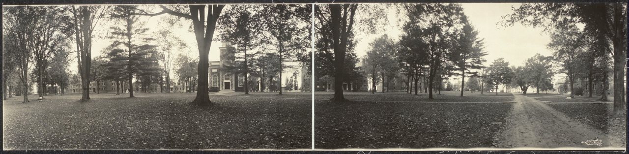

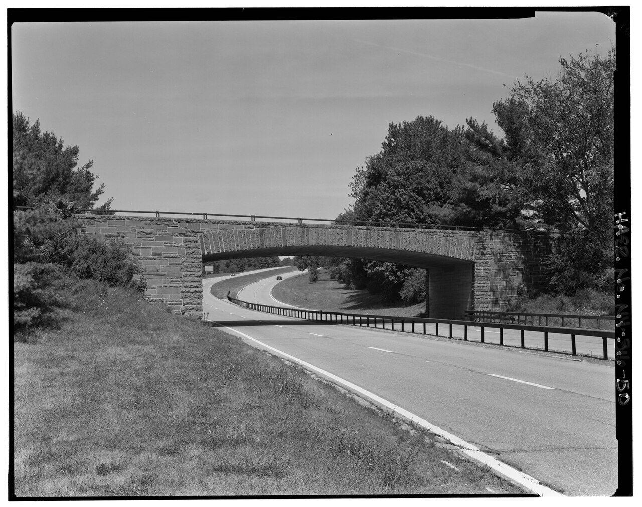


 1913
 1916


