14 of Amherst’s places are on the National Register
More historic than 69% of U.S. towns · #529 of 758 in New York. What drives it
Most of Amherst was built recently: 8% of its homes predate 1940 and the median home dates from 1971. Below: 7 old photos and papers, maps from 1894 on, and the census since 1820.
On its age, its old homes and the National Register, Amherst is more historic than 69% of U.S. towns, #529 of 758 in New York. Its National Register listings hold the grade up; its share of homes from before 1940 pulls it down.
B+
HistoryA character grade: shown, never part of Amherst’s overall grade.
Among the 400 U.S. cities of 100,000 or more, Amherst ranks #176 on History.
New York towns list more on the Register than most of the country (a typical New York town has 12.3 per 10,000 residents, the U.S. 2.4), so Amherst’s 38.5 sits near the middle of its state (65% of New York towns have fewer) while its 503 historic buildings outnumber those of 97% of U.S. towns.
How sure. Graded on two of the three inputs, so a change in either one moves the letter more than it would with three. The pre-1940 share (±0.9 points) is firm at this size.
Founding year: our sources. Homes: Census ACS 2020–24. National Register: National Park Service, May 2026 list; each listing counted once (boundary changes and added documentation belong to their listing), and a historic district counts its contributing buildings. How TownRatings grades history →
What stands out about Amherst’s past
Read from the archive, the National Register and the record. The page puts what stands out first.
Boulevard Drive-InlocaleNiagara Drive-InlocaleNike Site BU-09CmilitaryNike Site BU-09LmilitarySchool Number 10schoolSchool Number 15schoolSchool Number 16schoolSchool Number 17schoolSchool Number 5schoolSchool Number 6schoolSchool Number 7schoolSchool Number 8schoolSchool Number 9school
4cemeteries and burying grounds inside Amherst
Saint MichaelsSaint PaulsSkinnervilleWhite Chapel Memorial
US Post Offices dataset (Blevins & Helbock, CC0). Places and cemeteries from the USGS Geographic Names Information System (2021).
On the map
Amherst on the map, 1894 to 1965
Every edition of the U.S. Geological Survey’s map of Amherst. Tap a year, or press play to watch the town change.
1894Buffalo sheet · 1:62,500
U.S. Geological Survey historical topographic maps (public domain), via Esri’s collection of the scans. The red ring marks the center of Amherst.
Amherst was created by the State of New York on April 10, 1818, from part of the town of Buffalo (later the city of Buffalo), which itself had previously been created from the town of Clarence. Amherst was named after Lord Jeffrey Amherst, commander-in-chief of the British army in North America from 1758 to 1763. Timothy S. Hopkins was elected the first supervisor of the town in 1819. Part of Amherst was later separated to form the town of Cheektowaga on March 22, 1839.
Passages that mention Amherst, cut from the printed page as they were published.
An Amherst book. A collection of stories, poems, songs, sketches and historical articles1896 · page 7Read the page →
Read the text
College Hill is the most conspicuous and historically interesting landmark in the whole town of Amherst. The place where the College Observatory now stands was once the Moot Hill, or meeting place of the original parish, which became in 1759 the District, and afterwards, in 1775, the Town of Amherst. It was on this hill that the first parish church was erected, in com-
Text read by machine from the scan; it may contain errors.
An historical address, delivered in the town hall, at Amherst, January 19, 1874, on the occasion of the hundredth anniversary of the dedication of the Congregational Meeting-house1874 · page 15Read the page →
Read the text
this year about thirty of the most prominent of those that were last year annexed petitioned the governor and council for a division of Andierst. They recite in their petition, — "That the town of Amherst is about nine miles in length, by reason that about half the town of Monson was of late annexed to it, and is capable of being divided into two towns or parishes without prejudice to or spoiling the same; that many of us live in that part of Amherst which was lately Monson, and our being an-
Text read by machine from the scan; it may contain errors.
An Amherst book. A collection of stories, poems, songs, sketches and historical articles1896 · page 11Read the page →
Read the text
AMHERST: TOWN AND COLLEGE. ir Amherst is well connected with the outside world. It was an opening day for Amherst when, in 1767, the enterprising Simeon Nash began to drive his freight wagon to Boston and back, once a week, by the old Bay Path. It was a greater triumph of enterprise when the treasurer of Amherst College, Squire Dickinson, by
Text read by machine from the scan; it may contain errors.
"Witness," says Professor Tyler, "the generous subscription to the building and the books of the library of Amherst College which, beginning as such subscriptions usually do, in the First Church and parish of Amherst, extended to the other parishes of this and several neighboring towns, gave the College not only a new library building but a new epoch in its general prosperity."
Text read by machine from the scan; it may contain errors.
Scans and text from the Internet Archive. Books published in 1930 or earlier, which are in the public domain.
Timeline
Amherst, 1813 to 1996
Woven from the archive, old maps, post office records, the National Register and the people born here.
Nothing in the archives for these yearsWeddings on Main Street, storms, parades, school pictures, the old store. If it’s in your family album, it belongs here.
Amherst is more historic than 69% of U.S. towns, #529 of 758 in New York. The History grade combines the town’s founding era, the share of homes built before 1940 and its National Register listings. It’s a character grade, so it isn’t part of the overall grade. How it works.
What is on the National Register in Amherst?
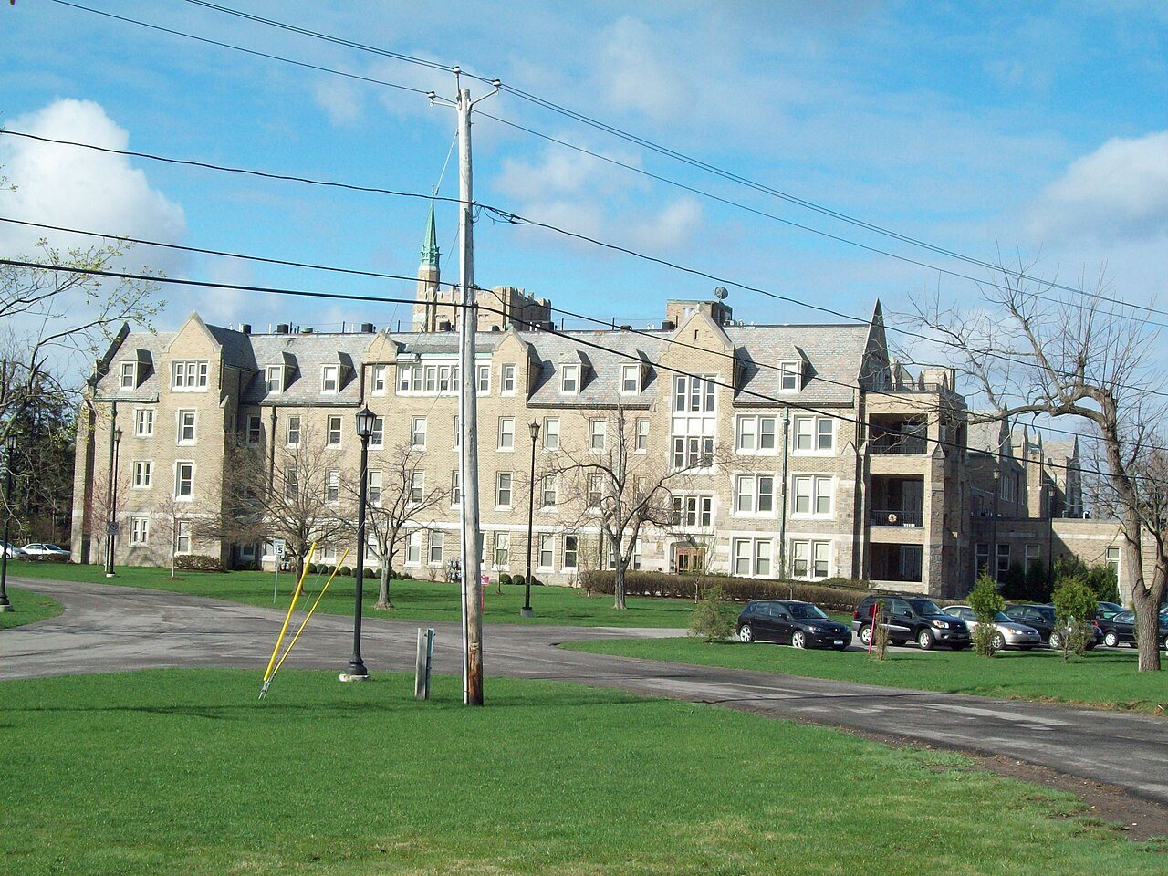
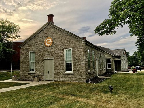
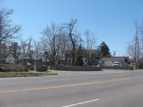
14 listings: 6 buildings, among them the Williamsville Water Mill Complex (listed 1983, the first), 1 historic district, the University Park Historic District, with 489 contributing buildings, and 7 structures. 503 historic buildings in all.
How old are the homes in Amherst?
8% of Amherst’s homes were built before 1940 (Census estimate), against a typical 27% for a New York town; the median home was built in 1971.
Founding dates: Wikidata, Wikipedia, the U.S. post office records of Blevins & Helbock (CC0) and the Census. Homes by year built: Census ACS 2020–24. National Register of Historic Places: National Park Service (list of May 22, 2026). Old photos, postcards and papers: Wikimedia Commons, the Library of Congress and other public archives, credited on each item’s page. Maps: U.S. Geological Survey historical topographic maps (via Esri) and Sanborn fire-insurance maps (Library of Congress). History text and census tables: Wikipedia (CC BY-SA 4.0). Places that used to be: USGS Geographic Names Information System (2021).
From Wikimedia Commons (24), the National Register of Historic Places (14), Wikipedia, Wikidata and Wikipedia for famous people, U.S. Geological Survey historical maps, U.S. Census counts (via Wikipedia), the US Post Offices dataset (Blevins & Helbock), the USGS Geographic Names Information System and old county and town histories (Internet Archive). Archive images are copied here with their credits and licenses, shown on each photo’s page. Refreshed monthly.






 1880
 1880
 1880
 1915
 2015
 2015
 2014
 2014
 2014
 2013
 2013
 2013
 2013
 2011
 2010
 2008
 2008
 2007
 2007
 2006
 2006

