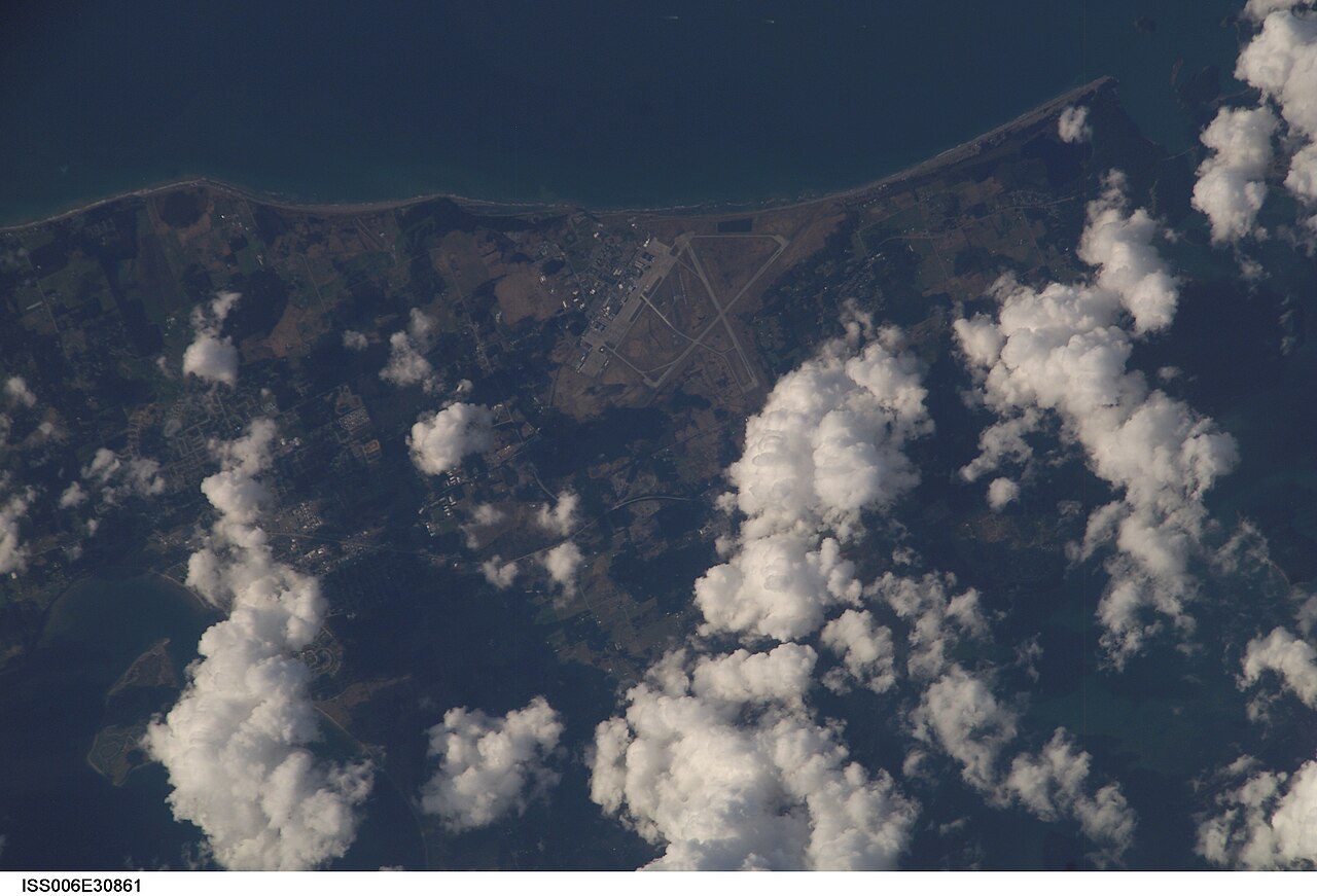
 Photo: Earth Science and Remote Sensing Unit , Lyndon B. Johnson Space Center · Public domain
Jobs, pay and the trip to work in Electoral Area F, Sunshine Coast
Electoral Area F, Sunshine Coast counted 76% of its 15-to-64s in jobs at the 2021 census, next to 73% for the middle of Canadian towns. In May 2021, unemployment in Electoral Area F, Sunshine Coast reached 6.9%, against 9.9% in the middle of Canadian towns. Median household income in Electoral Area F, Sunshine Coast was $80,000 in 2020, and the middle of Canadian towns sits at $85,900.
The work numbers behind Electoral Area F, Sunshine Coast
Work near the middle
Counting everyone 15 and over, 52% were in work at the 2021 census; among those aged 15 to 64 it was 76%, against 73% in the middle of Canadian towns. In work ↓
Less unemployment than most towns
Census day in 2021 put 6.9% out of work (9.9% in the middle of Canadian towns), and the area’s monthly survey gave 6.9% in October 2026. Unemployment ↓
Written from the data on this page: Statistics Canada’s 2021 Census, its commuting tables, Employment Insurance and the Labour Force Survey.
Electoral Area F, Sunshine Coast earns B− for jobs and income
Better than 51% of Canadian towns on three measures together, #132 of 254 in British Columbia.
Its strongest measure is household income; its weakest, trip times.
Graded against Canadian towns of 2,500 people or more; less unemployment and a shorter commute count in its favour.
How the grade works
Census 2021 measures, weighed equally against every Canadian town and neighbourhood of 2,500 people or more: the share of residents aged 15 to 64 in work, median household income (2020), the unemployment rate and the average commute. Each becomes a percentile; their average sets the letter.
In and out of work in Electoral Area F, Sunshine Coast
Of the 6 other places of 2,500 people or more in the Sunshine Coast census division, 2 have a smaller share of 15-to-64s in work.
Across all ages 15 and over the share in work falls to 52%: many residents are past working age. By October 2026, the Labour Force Survey had 63% of the wider area’s adults in work. Add those looking for a job to those with one, and 56% of residents 15 and over were in the labour force. Census day was 11 May 2021, in the pandemic’s third wave: unemployment ran high and many worked from home, so these figures describe that spring rather than today.
Statistics Canada, 2021 Census: people in work of any age over residents aged 15 to 64, and the census unemployment rate (15 and over); the 25-to-54 rate is Statistics Canada’s own (98-10-0485). The Labour Force Survey and business counts are context, not grade inputs.
Electoral Area F, Sunshine Coast keeps its workforce on a working day
Of those who commute, 11% stay within the municipality; the middle of Canadian towns is 70%.
People with no fixed workplace are in neither count.
443 people come into Electoral Area F, Sunshine Coast to work, most from Sechelt and Gibsons
- Sechelt135
- Gibsons125
- Electoral Area E, Sunshine Coast115
- Roberts Creek45
- Vancouver10
- Port Alice10
Of everyone working in Electoral Area F, Sunshine Coast, 89% come in from elsewhere; 135 make the 21 km trip from Sechelt. The main destination the other way is Gibsons, with 290.
Statistics Canada, 2021 Census (98-10-0459): commuting flows between municipalities (census subdivisions), rounded to 5; linked names have their own pages.
Earnings at home in Electoral Area F, Sunshine Coast: households
Before tax, 2020: higher than in 56% of Canadian towns.
Set beside British Columbia’s towns, where the median is $86,900, Electoral Area F, Sunshine Coast sits 8% below. 2 of the 6 other places of 2,500+ in the Sunshine Coast census division have a higher median. Incomes here are 2020’s and include the pandemic payments, CERB among them, that propped up the lower end.
Statistics Canada, 2021 Census: median total income of households in 2020, before tax (a neighbourhood’s estimated from its dissemination areas’ income groups).
Walk, cycle or ride transit: the choice of 15% of Electoral Area F, Sunshine Coast’s commuters
More people take transit to work here than in the middle of British Columbia’s towns: 6.5% against 2.3%. 81% drive to work, fewer than the 87% in the middle of British Columbia’s towns. Home was the workplace for 28%, where the middle of Canadian towns has 21%.
Statistics Canada, 2021 Census: main mode of commuting; average durations by mode from table 98-10-0458 (whole municipalities only).
At 24.8 minutes, commutes from Electoral Area F, Sunshine Coast are close to the middle of Canadian towns
Timed exactly, the average is 24.1 minutes (Statistics Canada). In the middle of British Columbia’s towns, the average commute is 26.4 minutes. Trips under 15 minutes: 41%, more than the 39% in the middle of British Columbia’s towns. An hour or more: 9% of commuters, above the 6.3% in the middle of British Columbia’s towns.
Statistics Canada, 2021 Census: commuting duration in five bands; our average uses each band’s middle (75 minutes for an hour or more), so it runs about two minutes above Statistics Canada’s own.
EI claims in the Sunshine Coast census division run 40% above their 2019 level
Set against the same month a year before, the count in August 2026 rose by 7%. The highest month was January 2021: 1,110 people, 2.7 times the 2019 level. Roughly 3.6 in every 100 people aged 15 to 64 in the division draw EI.
Statistics Canada, Employment Insurance beneficiaries by census division (14-10-0323): all income benefits, not seasonally adjusted. Data for EI beneficiaries covers the Sunshine Coast census division. EI counts are context, not part of any grade.
People receiving Employment Insurance each month, as a share of the 2019 average (100).
Electoral Area F, Sunshine Coast grades B+ for walkability
Better than 68% of Canadian towns on two measures together, #162 of 254 in British Columbia.
OpenStreetMap (© OpenStreetMap contributors, ODbL); active commuting from the 2021 Census.
For jobs and income, Electoral Area F, Sunshine Coast is 222nd of 458 Canadian towns of 2,500 to 3,600
| # | Place | People | In work, 15–64 | Unemployment | Household income | Grade |
|---|---|---|---|---|---|---|
| 1 | Upper Mount Royal Alberta | 2,758 | 83% | 12% | $188K | A+ |
| 2 | Central River Heights Manitoba | 2,736 | 84% | 5.4% | $137K | A+ |
| 3 | Crescentwood Manitoba | 3,060 | 87% | 5% | $123K | A+ |
| … | ||||||
| 52 | Tofino British Columbia | 2,772 | 76% | 12% | $86K | A |
| … | ||||||
| 54 | Highlands British Columbia | 2,753 | 83% | 4.9% | $124K | A |
| … | ||||||
| 60 | Mackenzie British Columbia | 3,442 | 78% | 12% | $88K | A |
| … | ||||||
| 220 | Saint-Polycarpe Quebec | 2,549 | 83% | 3.5% | $78K | B− |
| 221 | Sexsmith Alberta | 2,561 | 66% | 16% | $111K | B− |
| 222 | Electoral Area F, Sunshine Coast British Columbia | 2,691 | 76% | 6.9% | $80K | B− |
| 223 | Merrickville-Wolford Ontario | 3,411 | 81% | 7.5% | $88K | B− |
| 224 | Caswell Hill Saskatchewan | 2,573 | 67% | 7.4% | $75K | B− |
| … | ||||||
| 458 | Division No. 8, Subdivision L Newfoundland and Labrador | 2,724 | 43% | 30% | $51K | D− |
Ordered by Jobs & income Grade: the top three, the places either side of Electoral Area F, Sunshine Coast, and others among British Columbia’s towns.
Jobs near Electoral Area F, Sunshine Coast: the places around it
| Place | In work, 15–64 | Unemployment | Household income | Average trip | Jobs | Walk |
|---|---|---|---|---|---|---|
| Electoral Area F, Sunshine Coast | 76% | 6.9% | $80K | 24.8 min | B− | B+ |
| Gibsons 4 km | 80% | 7.5% | $70K | 21.8 min | B | A+ |
| Electoral Area E, Sunshine Coast 6 km | 77% | 6.1% | $86K | 21.4 min | A− | B+ |
| Roberts Creek 10.9 km | 87% | 7.4% | $83K | 23.5 min | A | B− |
| Bowen Island 11.6 km | 88% | 6.1% | $112K | 30.6 min | A | B |
| Lions Bay 18.1 km | 93% | 6.1% | $139K | 31.4 min | A | B+ |
The people of each place: the share in work, unemployment, household income and the average commute, with both grades once they come.
What this data can and can’t tell you
What each figure measures for Electoral Area F, Sunshine Coast, where it comes from, and what it leaves out.
- In work. How many residents held a job in May 2021, set against how many were 15 to 64. It reads a little high where many people work past 65, since below the municipality the census gives no breakdown of workers by age.
- Unemployment. It counts only people who wanted work and had none in May 2021, as a share of those working or searching; students and retirees who weren’t looking stay out of both sides.
- Household income. Taken from the 2021 Census, which asked about 2020: wages, pensions, investment income and government transfers together, before income tax, for the median household.
- Trip times. How long getting to work normally takes, averaged from the census’s time bands at their middles; expect it to read slightly high against the timed figure.
- Where people commute. Who travels where, from the census: workers with a regular workplace, sorted by the municipality they live in and the one they work in.
- Employment Insurance. People receiving EI benefits each month, counted for the census division. It follows the local job market; it isn’t an unemployment rate.
- The Labour Force Survey. Statistics Canada surveys households every month; the results come out for metro areas and economic regions, never for single towns, and keep the rate current after 2021.
- Which towns we compare. Towns and city neighbourhoods of 2,500 people or more, never a whole city and never a First Nations reserve. Middles are medians.
Questions about work in Electoral Area F, Sunshine Coast
How do people in Electoral Area F, Sunshine Coast get to work?
81% of commuters go by car, 6.5% take public transit, 7.1% walk and 1.3% cycle. On census day 28% of everyone in work stayed home to work.
How long is the commute from Electoral Area F, Sunshine Coast?
On average 24.8 minutes; 41% take under 15 minutes and 9% take an hour or longer.
Where do people in Electoral Area F, Sunshine Coast work?
Only 11% work in Electoral Area F, Sunshine Coast itself; the rest go first to Gibsons (290) and Sechelt (70).
How many jobs are there in Electoral Area F, Sunshine Coast?
About 495 people had their usual place of work in Electoral Area F, Sunshine Coast at the 2021 census, 1 for each working resident with a fixed workplace. In June 2026, 70 businesses with employees were on Statistics Canada’s count.
What is the unemployment rate in Electoral Area F, Sunshine Coast?
In October 2026 the Labour Force Survey put the Lower Mainland-Southwest economic region at 6.9%; the 2021 census, which counts the town itself, found 6.9%, against 9.9% in the middle of Canadian towns.
What is the average household income in Electoral Area F, Sunshine Coast?
The census puts Electoral Area F, Sunshine Coast at $80,000 for 2020, before tax and at the median, against $85,900 in the middle of Canadian towns.
Sources: Statistics Canada, 2021 Census of Population (Census Profile) · Statistics Canada, tables 98-10-0458 and 98-10-0459 (commuting) · Statistics Canada, table 14-10-0323 (EI beneficiaries) · Statistics Canada, Labour Force Survey (14-10-0459, 14-10-0462) · Statistics Canada, Canadian Business Counts (33-10-1176) · grades: TownRatings. Under the Statistics Canada Open Licence.
Adapted from Statistics Canada (Census of Population 2021, population estimates 2025, 2021 census boundaries) under the Statistics Canada Open Licence; this does not constitute an endorsement by Statistics Canada. Neighbourhood names in some cities © OpenStreetMap contributors (ODbL).