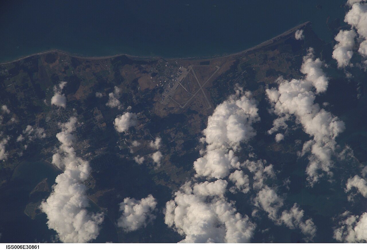
 Photo: Earth Science and Remote Sensing Unit , Lyndon B. Johnson Space Center · Public domain
More crimes per resident are recorded in Electoral Area F, Sunshine Coast than in 64% of Canadian towns
Violence and property crime split as 16.0 violent incidents and 28.7 incidents of property crime per 1,000 residents a year, beside 12.9 and 31.2 in the typical town its size. Add to that, its two neighbours with figures both record less crime per resident. Electoral Area F, Sunshine Coast grades C+ for safety on crime the police covering Electoral Area F, Sunshine Coast reported from 2023 to 2025: #107 of 251 in British Columbia. The index fell from 78.5 in 2023 to 71.4 in 2025.
Statistics Canada, police-reported crime, 2023–2025 means. The index weighs each crime by its seriousness; rates are incidents per 1,000 residents a year. The crime severity, crime rate and incident counts numbers here cover the Sunshine Coast detachment area.
What stands out about safety in Electoral Area F, Sunshine Coast
In the middle of towns its size
Counting up from the lowest index, Electoral Area F, Sunshine Coast is 23rd of the 40 Canadian towns closest in population. Towns its size ↓
Close to British Columbia’s typical town
Set among British Columbia’s towns, whose median is 83.2, Electoral Area F, Sunshine Coast scores 76.6. Towns its size ↓
Written from Statistics Canada’s police-reported crime by police service and detachment, 2023–2025. Figures are what police recorded, not convictions.
The C+ for Electoral Area F, Sunshine Coast, and how it is built
The grade weighs the Crime Severity Index and its violent half, averaged over 2023–2025, against every Canadian town and city neighbourhood of 1,000 people or more.
Its place: #107 of 251 in British Columbia and #1,587 of 2,572 Canadian towns.
The Crime Severity Index and its two halves, beside the typical figure for Canadian towns of 2,500 to 10,000 people.
Electoral Area F, Sunshine Coast, year by year
Crime Severity Index
2024 was the peak (79.9) and 2025 the trough (71.4). Set beside it, the typical Canadian town its size went from 74.3 in 2023 to 64.2 in 2025.
Every year as a table
| Year | Electoral Area F, Sunshine Coast | Typical town its size |
|---|---|---|
| 2025 | 71.4 | 64.2 |
| 2024 | 79.9 | 68.8 |
| 2023 | 78.5 | 74.3 |
Statistics Canada, Crime Severity Index by police service, each year as published. Typical: the median of Canadian towns of 2,500 to 10,000 people.
The Crime Severity Index of the police covering Electoral Area F, Sunshine Coast, each year, against the typical Canadian town its size.
Crime in Electoral Area F, Sunshine Coast, type by type
Against the typical town its size, Electoral Area F, Sunshine Coast runs highest on mischief (7.3 per 1,000 against 4.9) and break and enter (3.6 per 1,000 against 2.8). Theft under $5,000 sits below it.
Every Statistics Canada violation line
| Violation | Incidents a year | Per 1,000 | Cleared |
|---|---|---|---|
| Homicide | 0.7 | 0.03 | — |
| Sexual violations against children | 8.7 | 0.4 | 31% |
| Assaults against a peace officer | 7.7 | 0.3 | 100% |
| Firearms: use, discharge, pointing | 4.7 | 0.2 | — |
| Robbery | 4.7 | 0.2 | — |
| Forcible confinement or kidnapping | 1 | 0.04 | — |
| Other violent violations | 3.3 | 0.1 | — |
| Breaking and entering | 82.7 | 3.6 | 14% |
| Possession of stolen property | 14.7 | 0.6 | 43% |
| Theft of a motor vehicle | 26 | 1.1 | 13% |
| Theft over $5,000 | 19.3 | 0.8 | 2% |
| Theft under $5,000 | 229 | 10 | 17% |
| Mischief | 166.7 | 7.3 | 21% |
| Weapons violations | 10 | 0.4 | 67% |
| Administration of justice violations | 76.3 | 3.3 | 57% |
| Other Criminal Code violations | 32.7 | 1.4 | 31% |
| Drug violations | 20.7 | 0.9 | 47% |
| Impaired driving | 77 | 3.4 | 66% |
| Failing to stop or remain | 5.3 | 0.2 | 51% |
Statistics Canada’s violation groups for the whole police service or detachment, incidents a year its own. Cleared: incidents solved by a charge or otherwise, as a share of those reported.
Incidents per 1,000 residents a year, 2023–2025 means, against the typical figure for Canadian towns of 2,500 to 10,000 people.
Around 370 violent incidents a year in the 23,000-resident police area around Electoral Area F, Sunshine Coast, 2023–2025
Violent incidents per 1,000 a year, 2023–2025
Property crimes per 1,000 a year, 2023–2025
Statistics Canada counts actual incidents; those police record as unfounded are listed apart and kept out of its crime rates and severity index. Each incident is filed under its most serious violation, which the survey sets partly by the maximum penalty.
Property crime adds about 660 a year and other violations 420 (2023–2025 average). Of 1,000 dots, one per resident, the coloured ones are a year’s incidents at these rates.
By its index, Electoral Area F, Sunshine Coast stands 23rd of 40 towns its size
| # | Town | People | Severity index | Violent index | Safety |
|---|---|---|---|---|---|
| 1 | Grey Manitoba | 2,655 | 27.2 | 39.3 | A+ |
| 2 | Electoral Area A, Central Kootenay British Columbia | 2,668 | 35.8 | 32 | A |
| … | |||||
| 20 | Division No. 8, Subdivision L Newfoundland and Labrador | 2,724 | 73.3 | 54.3 | C+ |
| 21 | Spaniard's Bay Newfoundland and Labrador | 2,664 | 74.1 | 64.3 | C+ |
| 22 | Macamic Quebec | 2,698 | 75.8 | 140 | C+ |
| 23 | Electoral Area F, Sunshine Coast British Columbia | 2,691 | 76.6 | 94 | C+ |
| 24 | Hanna Alberta | 2,665 | 76.9 | 65.8 | C+ |
| 25 | Victoria County, Subdivision A Nova Scotia | 2,746 | 82.8 | 120.7 | C |
| 26 | Sussex New Brunswick | 2,742 | 86 | 92.8 | C |
| 27 | Tumbler Ridge British Columbia | 2,663 | 87.3 | 86.4 | C |
| … | |||||
| 36 | Electoral Area E, Peace River British Columbia | 2,737 | 139.5 | 210.6 | D |
| … | |||||
| 40 | La Ronge Saskatchewan | 2,668 | 715.9 | 1,169 | D− |
The 40 Canadian towns of 2,500+ people closest in population; city neighbourhoods, city totals and reserves are left out. Towns on one police service or detachment share its index.
The Canadian towns closest to Electoral Area F, Sunshine Coast in population, the lowest Crime Severity Index first (2023–2025 means).
Crime in the places around Electoral Area F, Sunshine Coast
| Town | People | Severity index | Violent index | Safety |
|---|---|---|---|---|
| Electoral Area F, Sunshine Coast | 2,691 | 76.6 | 94 | C+ |
| Gibsons | 5,090 | 76.6 | 94 | C+ |
| Electoral Area E, Sunshine Coast | 4,279 | 76.6 | 94 | C+ |
| Roberts Creek | 3,779 | 76.6 | 94 | C+ |
| Bowen Island | 4,501 | 24.4 | 16.3 | A+ |
| Lions Bay | 1,375 | 24.4 | 16.3 | A+ |
Electoral Area F, Sunshine Coast has the highest index of the places around it. Just 11.6 km away, Bowen Island comes to 24.4, against 76.6. 3 places nearby are policed together with it and reported as one, so there is nothing to compare.
Each place’s police figures, 2023–2025 means.
What this data can and can’t tell you
- What 100 means. Statistics Canada set the national index at 100 for 2006; every figure here is read against that.
- The clearance rate. Cleared means solved by police, charged or not; it says nothing about what courts decide.
- Severity, weighed. Statistics Canada builds the index from every crime police record, weighted by how seriously the courts treat it, and divides by the population. It adds a warning of its own: “The CSI is not an indicator of overall safety and should be interpreted in the broader community context.”
- A wider policing area. The detachment counts crime across its whole territory, of which Electoral Area F, Sunshine Coast is one part.
Questions about safety in Electoral Area F, Sunshine Coast
Is Electoral Area F, Sunshine Coast safe?
Its police recorded 16 violent incidents and 28.7 property crimes a year per 1,000 residents over 2023–2025, which gives Electoral Area F, Sunshine Coast a Crime Severity Index of 76.6. The middle of Canadian towns of 2,500 to 10,000 people is 68.5.
What is the most common crime in Electoral Area F, Sunshine Coast?
Other Criminal Code offences is the most common, at 13.1 per 1,000 residents a year, then theft under $5,000 (10) and mischief (7.3).
Is crime going up in Electoral Area F, Sunshine Coast?
Down 9%: 78.5 in 2023, 71.4 in 2025.
How much of Electoral Area F, Sunshine Coast’s crime do police solve?
Counting serious crimes for more, 27% end in a charge or are otherwise solved (34% for the typical Canadian town its size); split up, that is 42% of violent and 18% of non-violent crime.
Whose figures are these?
A shared service or detachment’s, reported as one for Electoral Area F, Sunshine Coast and everywhere else it polices.
Source: Statistics Canada, police-reported crime by police service and detachment, 2023–2025 (Statistics Canada Open Licence); TownRatings calculation.
Sources: Statistics Canada, Crime severity index and weighted clearance rates, police services (tables 35-10-0186 to 0190, 0061, 0063, 0064), 2023–2025 · Statistics Canada, Incident-based crime statistics by detailed violations, police services (35-10-0178 to 0185) · Safety Grade: TownRatings calculation. Under the Statistics Canada Open Licence.
Adapted from Statistics Canada (Census of Population 2021, population estimates 2025, 2021 census boundaries) under the Statistics Canada Open Licence; this does not constitute an endorsement by Statistics Canada. Neighbourhood names in some cities © OpenStreetMap contributors (ODbL).