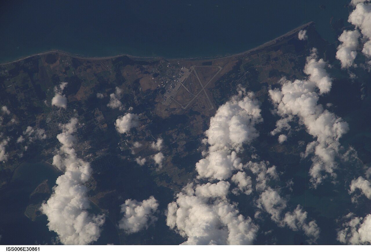
 Photo: Earth Science and Remote Sensing Unit , Lyndon B. Johnson Space Center · Public domain
Heritage within reach of Electoral Area F, Sunshine Coast: 48 places, 50 km or closer
From Electoral Area F, Sunshine Coast, look 24 km away, to West Vancouver, for the nearest place of the highest designation. Homes from 2016 to 2021 make up 8.6% of the stock; the typical town has 4.1%.
17 places of the highest rank within 50 km of Electoral Area F, Sunshine Coast
By age, Bastion leads, from 1855, at 45 km. The first one out is Point Atkinson Lighthouse, 19 km away in West Vancouver. They belong to 17 towns, chiefly Yaletown, Granville Entertainment District and Strathcona.
The 12 nearest, within 50 km
| Point Atkinson LighthouseNational Historic Site · 1912–1913 · 19 km away, in West Vancouver |
| Binning ResidenceNational Historic Site · 1941–1942 · 23 km away, in West Vancouver |
| Lions Gate BridgeNational Historic Site · 1937–1939 · 28 km away, in West Vancouver |
| Stanley ParkNational Historic Site · 1888–1989 · 29 km away, in West End |
| Britannia Mines ConcentratorNational Historic Site · 1922–1924 · 29 km away, in Electoral Area D, Squamish-Lillooet |
| St. RochNational Historic Site · 1928–1929 · 30 km away, in Kitsilano |
| Seaforth ArmouryRecognized Federal Heritage Building · 1935–1937 · 30 km away, in Fairview |
| Bessborough ArmouryRecognized Federal Heritage Building · 1932–1934 · 30 km away, in Kitsilano |
| Coastal ChurchHeritage designation · 1919 · 30 km away, in West End |
| Electra BuildingListed in a community heritage register · 1957 · 31 km away, in Granville Entertainment District |
| Former Vancouver Law CourtsNational Historic Site · 1907–1912 · 31 km away, in Granville Entertainment District |
| Hotel GeorgiaHeritage designation · 31 km away, in Granville Entertainment District |
The places within 50 km of Electoral Area F, Sunshine Coast lean to the decades after Confederation
Places as far as 50 km from Electoral Area F, Sunshine Coast, not in it, dated by the first construction year on their records.
Bastion, in Nanaimo, goes back furthest, to 1855. 42 dated places within 50 km make up the record. Before Confederation: one.
Electoral Area F, Sunshine Coast built the most from 1981 to 2000, 36% of today’s homes
Count back from today and half of Electoral Area F, Sunshine Coast’s homes are older than 2001. Like the typical town (18%), Electoral Area F, Sunshine Coast has 16% of its homes from before 1961. In Electoral Area F, Sunshine Coast, 23% of homes date from 1961 to 1980, much as in most towns (27%).
2021 Census, private dwellings by period of construction (Statistics Canada); the typical town is the middle Canadian town of 2,500 or more.
Electoral Area F, Sunshine Coast and its neighbours
| Town | People | Places | Highest | Oldest |
|---|---|---|---|---|
| Electoral Area F, Sunshine Coast | 2,691 | 0 | 0 | — |
| Gibsons | 5,090 | 0 | 0 | — |
| Electoral Area E, Sunshine Coast | 4,279 | 0 | 0 | — |
| Roberts Creek | 3,779 | 0 | 0 | — |
| Bowen Island | 4,501 | 0 | 0 | — |
| Lions Bay | 1,375 | 0 | 0 | — |
Electoral Area F, Sunshine Coast in brief
Its housing is young: only 16% predates 1961, against 18% in the typical town. Beyond that, it has no historic place, where the middle town its size has 1.
What this data can and can’t tell you
- Provincial and municipal lists. Outside Québec, provinces’ and municipalities’ heritage registers aren’t open data; their places are known only through Wikidata items with a register number, and only those with an encyclopedia article get a page.
- The grade. History isn’t one of Canada’s graded pillars, so this page describes and compares without a letter.
- People and events. Parks Canada’s open file gives its national historic persons no place. A town’s page names one only when the person was born there (matched by name and both life years) or one of its own historic places carries the name and its record speaks of them; national historic events stay off.
- The federal register. Every federal designation is in Parks Canada’s directory, and the Canadian Register of Historic Places gives most of them a bilingual statement of significance.
- The tiers. National Historic Sites and the most protected buildings form the top tier; recognized federal buildings, stations and lighthouses the second; provincial and municipal listings the third.
- Protection. Being on these registers doesn’t mean a building can’t change. Federal designation commemorates; protection is provincial or municipal, and those lists aren’t open here.
Questions about Electoral Area F, Sunshine Coast’s history
How many historic places does Electoral Area F, Sunshine Coast have on the registers?
None inside Electoral Area F, Sunshine Coast yet. The nearest, Point Atkinson Lighthouse, carries the highest designation, 19 km away in West Vancouver.
How old are the homes in Electoral Area F, Sunshine Coast?
16% predate 1961, where the typical town has 18%.
Contains information licensed under the Open Government Licence – Canada (Parks Canada).
Sources: Parks Canada, Directory of Federal Heritage Designations · Canadian Register of Historic Places (federal extract) · Wikidata (CC0) for map points, other names and articles · Statistics Canada, 2021 Census (homes by period of construction). Under the Statistics Canada Open Licence.
Adapted from Statistics Canada (Census of Population 2021, population estimates 2025, 2021 census boundaries) under the Statistics Canada Open Licence; this does not constitute an endorsement by Statistics Canada. Neighbourhood names in some cities © OpenStreetMap contributors (ODbL).