First pick
Dakota Ridge Recreation Site
Park or garden
932 ha7.3 km of path
1 h 35 minto walk all 7.3 km of path
14 km north-westfrom the centre
Ridge WalkerBalsam LoopEagle Lookout
Directionsto a point inside
Each edition grades its towns against each other only.
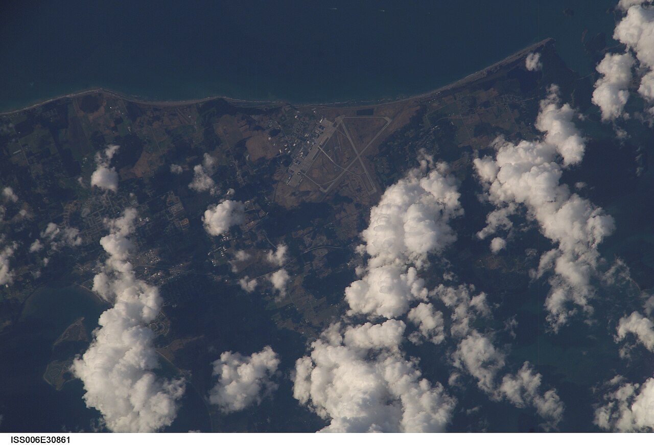 Photo: Earth Science and Remote Sensing Unit , Lyndon B. Johnson Space Center · Public domain
Within 10 km are 73 protected areas. Within 5 km are 231 beaches; Andy's Beach is the nearest. For a national park, Gulf Islands National Park Reserve is 54 km away.
Each figure against Canadian towns of 2,500+; tap a tile for the detail.
Electoral Area F, Sunshine Coast’s best card is protected land around it, with its beaches close behind.
Each figure against the 2,611 Canadian towns and neighbourhoods of 2,500+ (not city hubs or reserves), with the town marked and the typical one’s line. Canada’s grades don’t include the outdoors, so this page compares the figures rather than grading them.
CPCAD 2.9.0 (ECCC, 2026), OpenStreetMap (November 2026). Distances from the town’s outline.
The 40 Canadian towns nearest in population (2,652 to 2,726 residents), by the share of the land within 10 km that is protected. Hover for each one’s figures; click for its page.
For public protected areas, Electoral Area F, Sunshine Coast tops all 39 other towns its size.
| Town | Protected within 10 km | In town | Areas | Routes | Beaches | |
|---|---|---|---|---|---|---|
| 1 | La Ronge SK | 49% | 0.2% | 1 | 0 | 1 |
| 2 | Bouctouche NB | 27% | 1.6% | 3 | 0 | 3 |
| 3 | Electoral Area A, Central Kootenay BC | 26% | 38% | 20 | 0 | 5 |
| 4 | Waskaganish QC | 24% | 0% | 6 | 0 | 0 |
| 5 | Musquodoboit Harbour NS | 16% | 28% | 50 | 1 | 17 |
| 6 | Meadow Lake No. 588 SK | 13% | 15% | 25 | 3 | 4 |
| 7 | Tumbler Ridge BC | 12% | 5.1% | 5 | 0 | 51 |
| 8 | Eastman QC | 11% | 7.4% | 49 | 5 | 7 |
| 9 | Swan Valley West MB | 11% | 1% | 8 | 0 | 0 |
| 10 | Electoral Area F, Sunshine Coast BC | 10% | 15% | 73 | 0 | 231 |
| 11 | Saint George NB | 7.2% | 14% | 28 | 0 | 23 |
| 12 | Freelton ON | 5.6% | 1.6% | 30 | 0 | 0 |
| 13 | Russell MB | 4.9% | 0% | 16 | 0 | 0 |
| 14 | East River, Part 1 PE | 4.3% | 9.1% | 38 | 14 | 20 |
| 15 | Bonaventure QC | 3.7% | 1.5% | 7 | 0 | 11 |
| 16 | Emerson-Franklin MB | 3.7% | 0.1% | 123 | 0 | 0 |
| 17 | Trinity ON | 2.6% | 2.8% | 27 | 3 | 0 |
| 18 | Division No. 8, Subdivision L NL | 1.9% | 0.2% | 3 | 1 | 1 |
| 19 | La Présentation QC | 1.7% | 0% | 13 | 0 | 1 |
| 20 | Adelaide/Churchill SK | 1.7% | 0% | 18 | 0 | 1 |
| 21 | Eastdale ON | 1.6% | 0% | 15 | 3 | 8 |
| 22 | Meadowlark Park AB | 1.6% | 0% | 3 | 2 | 0 |
| 23 | Tuxedo Industrial MB | 1.4% | 0% | 25 | 0 | 36 |
| 24 | Westview SK | 1.4% | 0% | 14 | 0 | 2 |
| 25 | North Point Douglas MB | 1.2% | 0% | 17 | 4 | 0 |
| 26 | Hanna AB | 0.8% | 0% | 1 | 0 | 0 |
| 27 | Saint-Alexandre QC | 0.6% | 0.6% | 23 | 1 | 0 |
| 28 | Grey MB | 0.6% | 0.7% | 3 | 0 | 0 |
| 29 | Sundre AB | 0.4% | 0% | 5 | 0 | 0 |
| 30 | Macamic QC | 0.3% | 0% | 11 | 2 | 3 |
| 31 | Cy Becker AB | 0.2% | 0% | 2 | 0 | 0 |
| 32 | Lee Ridge AB | 0.1% | 0% | 2 | 0 | 3 |
| 33 | Spaniard's Bay NL | 0% | 0% | 0 | 0 | 18 |
| 34 | Saint-Bernard QC | 0% | 0% | 0 | 0 | 0 |
| 35 | Saint-Martin QC | 0% | 0% | 1 | 0 | 0 |
| 36 | Plessisville QC | 0% | 0% | 6 | 0 | 2 |
| 37 | Saint-Léonard-d'Aston QC | 0% | 0% | 1 | 0 | 0 |
| 38 | Delton AB | 0% | 0% | 0 | 1 | 1 |
| 39 | Gold Bar AB | 0% | 0% | 0 | 1 | 1 |
| 40 | Highlands AB | 0% | 0% | 0 | 1 | 1 |
The town’s parks, woods, protected land and paths, with its named places numbered.
Dakota Ridge Recreation Site is the largest, at 932 ha; the rest follow by size, numbered as on the map.
Dakota Ridge Recreation Site plus Woolridge Island account for 92% of the green.
Source: OpenStreetMap parks, gardens, commons and woods with a name, in the town or within 400 m, © OpenStreetMap contributors, ODbL. Sizes are the mapped outline’s.
Residents of each 2021 dissemination area, at a point inside it, within 400 m (about a 5-minute walk) of a park or playing field mapped on OpenStreetMap.
For about 1,800 people, the nearest park is over 400 m away. That is below the typical Canadian town (83%).
Every protected and conserved area in CPCAD within 10 km of the town’s edge: parks, reserves, wildlife areas and conservation land.
Public bodies own 64 of the 73; land trusts and private owners hold the others. The largest named one is Tetrahedron Park, at 6,000 ha. 6 areas belong to private owners or land trusts and aren’t named here.
22 more named areas within 10 km are in the figures.
2 areas recorded only by their type (provincial layers such as wildlife habitat areas) are counted, not listed.
Source: Canadian Protected and Conserved Areas Database (CPCAD) 2.9.0, Environment and Climate Change Canada. Contains information licensed under the Open Government Licence – Canada.
National parks (Parks Canada) and provincial or territorial parks by direction and distance from the town’s edge: every one within 10 km, and the nearest of each within 100 km.
7 provincial parks lie within 10 km.
Source: CPCAD 2.9.0 (ECCC): areas and outlines, distances outline to outline; directions from the town’s centre point.
OpenStreetMap footpaths, paths, bridleways and steps, and tracks open on foot, in the town and 1 km around it; woods as mapped (landuse=forest, natural=wood).
For woods, it beats 90% of Canadian towns. Paths are thinner on the ground than in 69% of Canadian towns.
Source: OpenStreetMap, © OpenStreetMap contributors, ODbL. Mapping varies by place: a dense figure can mean keen local mappers as much as many paths.
Named walking and hiking routes on OpenStreetMap with at least 300 m within 2 km of the town, longest first; national routes lead.
The map shows no named route near the town. That says more about OpenStreetMap’s coverage than about the paths on the ground.
Source: OpenStreetMap (route relations hiking, foot and walking), © OpenStreetMap contributors, ODbL. Trans Canada Trail sections as OSM maps them.
Daylight at the town’s latitude and ECCC’s 1991–2020 normals (Vancouver (Harbour), 30 km away). Good months: long days, highs of 15–30 °C, light rain.
| Jan | Feb | Mar | Apr | May | Jun | Jul | Aug | Sep | Oct | Nov | Dec | |
|---|---|---|---|---|---|---|---|---|---|---|---|---|
| Daylight (h) | 8.6 | 10.0 | 11.7 | 13.7 | 15.3 | 16.2 | 15.9 | 14.4 | 12.5 | 10.7 | 9.0 | 8.2 |
| High (°C) | 7 | 8 | 11 | 14 | 18 | 20 | 23 | 23 | 19 | 14 | 10 | 7 |
| Rain & snow (mm) | 237 | 117 | 163 | 118 | 73 | 66 | 44 | 49 | 71 | 157 | 245 | 200 |
The warmest days come in July (23 °C highs), the coldest in December (7 °C). Precipitation runs from 44 mm in July to 245 mm in November. Winter brings about 37 cm of snow. The climate in Electoral Area F, Sunshine Coast →
Beaches on OpenStreetMap within 5 km of the town’s edge, nearest first, with directions.
Unnamed on the map: 192 more. The shoreline runs 267 km within 5 km of town. For water quality, look to the local health unit: no open beach-testing data covers Canada.
Source: OpenStreetMap (natural=beach), © OpenStreetMap contributors, ODbL.
Viewpoints, peaks, waterfalls, picnic sites, nature reserves, playgrounds, dog parks, campsites and boat launches mapped within 2 km of the town.
For a climb, Tetrahedron Peak rises to 1,739 m. The most common are hills and peaks: 39 on the map.
Plus 22 viewpoints without a name on the map.
Plus 31 hills and peaks without a name on the map.
Plus 5 waterfalls without a name on the map.
Plus 20 nature reserves without a name on the map.
Plus 10 playgrounds without a name on the map.
Plus 9 campsites without a name on the map.
Source: OpenStreetMap (tourism, natural, waterway and leisure tags), © OpenStreetMap contributors, ODbL.
The nearest places, coloured by the share of the land within 10 km that is protected; tap one for its outdoors page.
| Town | Protected within 10 km | Areas | Routes | Beaches |
|---|---|---|---|---|
| Electoral Area F, Sunshine Coast | 10% | 73 | 0 | 231 |
| Gibsons 4.0 km | 2.7% | 43 | 0 | 57 |
| Electoral Area E, Sunshine Coast 6.0 km | 3.4% | 34 | 0 | 48 |
| Roberts Creek 11 km | 11% | 20 | 0 | 26 |
| Bowen Island 12 km | 7.2% | 60 | 0 | 173 |
| Lions Bay 18 km | 12% | 16 | 2 | 14 |
More routes are mapped around Lions Bay (2). Electoral Area F, Sunshine Coast holds its own on protected land: no neighbour has twice its share.
Plumper Cove Marine Park touches the town.
May to September, on the 1991–2020 normals and the daylight: long days, highs of 15 °C or more, light rain for the place.
Within 10 km, 10% of the land lies in protected areas.
Gulf Islands National Park Reserve is closest, at 54 km.
Tetrahedron Park, a provincial park of 6,000 ha.
Try Andy's Beach, in town, first of several.
Protected areas: Canadian Protected and Conserved Areas Database (CPCAD) 2.9.0, Environment and Climate Change Canada, 2026: every area within 10 km and the nearest national and provincial parks, measured outline to outline.
Walking routes and beaches: OpenStreetMap, November 2026: named hiking, foot and walking route relations within 2 km and beaches within 5 km.
Towns: Statistics Canada 2021 Census boundaries and populations; the comparison is the Canadian towns and neighbourhoods of 2,500+, not city hubs or reserves.
When to go: Environment and Climate Change Canada, Canadian Climate Normals 1991–2020, from the nearest station that publishes them.
Green space, paths, woods, things to do: OpenStreetMap (Geofabrik’s Canada extract), November 2026: parks, gardens, playing fields, woods, footpaths, the coastline and things to do in and around each town.
Residents: Statistics Canada 2021 Census dissemination areas (population, boundaries), each at a point inside it.
Walking routes and beaches © OpenStreetMap contributors, available under the Open Database Licence (ODbL).
Not on this page: trailheads and trail grades, and beach water quality. No open Canadian dataset gives these for every town yet.
Adapted from Statistics Canada (Census of Population 2021, population estimates 2025, 2021 census boundaries) under the Statistics Canada Open Licence; this does not constitute an endorsement by Statistics Canada. Neighbourhood names in some cities © OpenStreetMap contributors (ODbL).