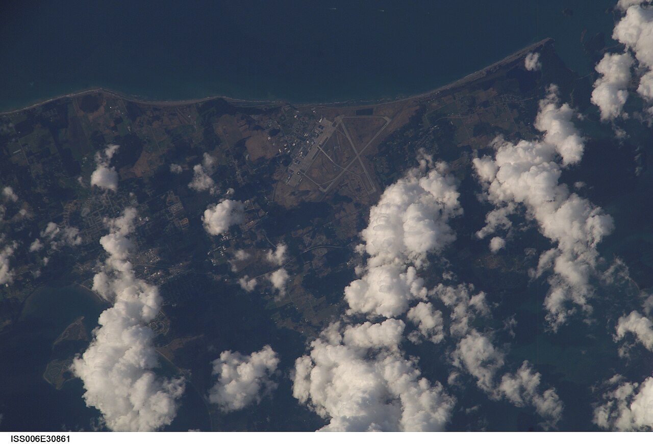
 Photo: Earth Science and Remote Sensing Unit , Lyndon B. Johnson Space Center · Public domain
For health, Electoral Area F, Sunshine Coast is ahead of 95% of Canadian towns
The survey puts the region’s share in very good or excellent health at 59%, ahead of the 50% for British Columbia. Closer to home, a hospital is 20 km from the average resident of Electoral Area F, Sunshine Coast, further than the usual 3.7 km. Health gives Electoral Area F, Sunshine Coast a grade of A+, #48 of 254 in British Columbia and #247 of 2,583 Canadian towns.
What stands out about health in Electoral Area F, Sunshine Coast
Fewer smokers
Smoking is rarer around Electoral Area F, Sunshine Coast than in the typical Canadian town’s region, and 3.7% of adults smoke every day. Conditions and habits ↓
A long-lived region
Born around Electoral Area F, Sunshine Coast, a child can expect 2.8 more years than in the typical Canadian town’s region; at 65, another 22.6 (2022/2024). The wider area ↓
A long way to hospital
Residents of Electoral Area F, Sunshine Coast live much further from a hospital than in the typical Canadian town (20 km from its centre of population), and 0% are more than 30 km away. Getting care ↓
Less chronic illness
For its ages, the region carries less long-term illness than most: high blood pressure for 16% of adults, diabetes for 4%. Conditions and habits ↓
From Statistics Canada: the health survey and life expectancy for the health region, the deprivation index for the town; distances from the healthcare facilities database and OpenStreetMap.
Electoral Area F, Sunshine Coast grades A+ for health
Each input ranked against Canadian towns of 2,500 or more: the region’s four, the town’s distance to a hospital.
The region’s four figures and the town’s distance to a hospital are each ranked against Canadian towns of 2,500 or more, then averaged. Its place: #48 of 254 in British Columbia and #247 of 2,583 Canadian towns.
How the grade works
Health is graded as a regional score, labelled as such: very good or excellent self-rated health, chronic conditions (arthritis, diabetes and high blood pressure averaged) and smoking from the Canadian Community Health Survey, each age-standardised so an older region isn’t marked down for age alone, and life expectancy at birth, all for the health region. The residents’ average distance to a hospital is the one input measured for the town itself, so towns in one region can still differ.
High blood pressure for 16% of adults in the region, diabetes for 4%
What the survey finds on conditions, weight and habits for the region, the province as the tick.
Conditions and weight · 2023/2024
Habits · 2023/2024
Obesity tracks the province: 23% of adults here, 25% across British Columbia. Heavy drinking runs above the province, 23% to 19%.
Canadian Community Health Survey 2023/2024 (table 13-10-0972), as published, not adjusted for age; obesity from reported height and weight. The anxiety disorder figure is the 2021/2022 estimate: Statistics Canada found the latest too unreliable to publish here.
Longest and shortest lives among the 16 regions in British Columbia
Regional life expectancy in British Columbia, then the town’s place on the national deprivation index.
Life expectancy at birth by health region · 2022/2024
Life expectancy in British Columbia runs from 76.6 to 86.8; this region sits 3rd of the 16.
Canadian Index of Multiple Deprivation · national quintile, 1 least to 5 most deprived
The index is context and never graded: it describes Electoral Area F, Sunshine Coast’s own areas, averaged over residents, on each of its four dimensions.
Life expectancy: Statistics Canada table 13-10-0988, three-year estimate 2022/2024, by health region.
Getting to hospital from Electoral Area F, Sunshine Coast: 20 km on average
Measured from where the town’s residents live, so this part is Electoral Area F, Sunshine Coast’s own, not the region’s.
Residents of Electoral Area F, Sunshine Coast travel further than most of the province: the typical town in British Columbia is 4.4 km from a hospital, the typical Canadian town 3.7 km.
Hospitals and clinics: Statistics Canada, Open Database of Healthcare Facilities. Pharmacies: © OpenStreetMap contributors (ODbL). Straight-line distances from each dissemination area, weighted by its 2021 population.
Behind regions as deprived by 1.4 years of life
These are health regions, 102 of them, not towns: the survey and life expectancy are published that way, so the dot for Electoral Area F, Sunshine Coast’s region, below the line, stands for every town in it.
Life expectancy and deprivation move in opposite directions across 102 regions (correlation −0.83); at 1.7, the expected figure is 85.7 years, and Electoral Area F, Sunshine Coast’s region falls below with 84.3. Its 10 closest matches on deprivation lean shorter-lived: 6 of them below it, a median of 83.5.
Life expectancy: Statistics Canada table 13-10-0988, 2022/2024, by health region. Deprivation: Canadian Index of Multiple Deprivation 2021 (situational vulnerability), averaged over each region’s towns by their residents; income: 2021 Census median household income, averaged the same way. The averages and the line are TownRatings calculations.
More people rate their health highly here than in British Columbia: 59% to 50%
How adults in the health region answered the survey, not adjusted for age; the tick marks the province.
Share of adults, as answered · 2023/2024
Mental health looks better than in the province too: 55% rate it very good or excellent, against 49% in British Columbia, and 22% find most days quite stressful.
Canadian Community Health Survey 2023/2024 (Statistics Canada table 13-10-0972), adults 18 and over, as published.
Among 40 towns its size, Electoral Area F, Sunshine Coast is 32nd nearest a hospital
Ordered by residents’ distance to a hospital: 40 Canadian towns of 2,652 to 2,726 people, median 9.5 km.
| # | Town | People | Hospital | Very good health |
|---|---|---|---|---|
| 1 | Hanna AB B− | 2,665 | 0.5 km | 52% |
| 2 | Sundre AB C+ | 2,683 | 0.9 km | 52% |
| 3 | Meadowlark Park AB B+ | 2,671 | 1.0 km | 51% |
| 30 | Saint-Martin QC B+ | 2,687 | 17 km | 59% |
| 31 | Bonaventure QC C | 2,719 | 17 km | 56% |
| 32 | Electoral Area F, Sunshine Coast BC A+ | 2,691 | 20 km | 59% |
| 33 | Meadow Lake No. 588 SK D | 2,712 | 21 km | 46% |
| 34 | Saint-Léonard-d'Aston QC B+ | 2,662 | 24 km | 61% |
| 40 | Waskaganish QC | 2,726 | 132 km | – |
The region’s very good or excellent health column is regional: towns in one region share it.
Health in the places around Electoral Area F, Sunshine Coast
Nearby places: distance to a hospital and each one’s regional figures. Tap a town for its health page.
| Town | Hospital | Very good health | Life exp. | Health |
|---|---|---|---|---|
| Electoral Area F, Sunshine Coast | 20 km | 59% | 84.3 | A+ |
| Gibsons 4.0 km | 19 km | 59% | 84.3 | A+ |
| Electoral Area E, Sunshine Coast 6.0 km | 17 km | 59% | 84.3 | A+ |
| Roberts Creek 11 km | 9.9 km | 59% | 84.3 | A+ |
| Bowen Island 12 km | 15 km | 59% | 84.3 | A+ |
| Lions Bay 18 km | 20 km | 59% | 84.3 | A+ |
Because the health region stops further out than these places, they all carry Electoral Area F, Sunshine Coast’s regional figures.
What this data can and can’t tell you
- Regional figures. Statistics Canada reports the survey and life expectancy by health region, not by town: Electoral Area F, Sunshine Coast shares them with its neighbours, while the distances are measured for it alone.
- Adjusted for age. Because older people report more illness, the grade uses age-standardised shares; the charts above show the unadjusted answers.
- Deprivation is context. Deprivation is shown to set the scene and doesn’t count toward the grade; Statistics Canada left the territories out of the index.
- Who the survey asks. The survey’s frame skips reserves and other Indigenous settlements, institutions, the Forces and two Québec regions, so their figures come from elsewhere or not at all.
- Distances are straight lines. Roads, rivers and ferries aren’t in it: the figure is a straight line from where people live, averaged over residents.
- What counts as a hospital. A “hospital” here is whatever the provinces listed as one in Statistics Canada’s database, which can mean a site without an emergency department.
Questions about health in Electoral Area F, Sunshine Coast
How far is Electoral Area F, Sunshine Coast from a hospital?
Beyond the hospital, the average home in Electoral Area F, Sunshine Coast is 5.4 km from a clinic and 4.9 km from a pharmacy.
How healthy is Electoral Area F, Sunshine Coast?
The region beats the typical Canadian town on each of its four survey and life-expectancy figures. Its chronic-condition figure, age-standardised, is 12%.
What is the life expectancy in Electoral Area F, Sunshine Coast?
Women in Electoral Area F, Sunshine Coast’s region live to 86.3 on average and men to 82.3, Statistics Canada’s 2022/2024 estimate.
How is Electoral Area F, Sunshine Coast’s Health Grade worked out?
Not so far; the grade arrives with Canada’s grading run and will set the region’s figures, plus Electoral Area F, Sunshine Coast’s own distance to care, against the typical Canadian town.
Sources: Statistics Canada, Canadian Community Health Survey 2023/2024 (13-10-0972) · Statistics Canada, life expectancy 2022/2024 (13-10-0988) · Statistics Canada, health regions 2023 (82-402-X) · Statistics Canada, Open Database of Healthcare Facilities · pharmacies © OpenStreetMap contributors (ODbL) · Statistics Canada, Canadian Index of Multiple Deprivation 2021. Under the Statistics Canada Open Licence.
Adapted from Statistics Canada (Census of Population 2021, population estimates 2025, 2021 census boundaries) under the Statistics Canada Open Licence; this does not constitute an endorsement by Statistics Canada. Neighbourhood names in some cities © OpenStreetMap contributors (ODbL).