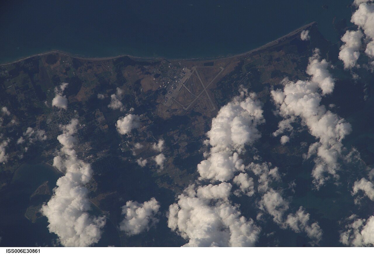
 Photo: Earth Science and Remote Sensing Unit , Lyndon B. Johnson Space Center · Public domain
The nearest public library to Electoral Area F, Sunshine Coast is Gibsons & District Public Library, 4.4 km away
After it comes Roberts Creek Community Library (Roberts Creek), 12 km away. No library board reports for Electoral Area F, Sunshine Coast alone: its libraries belong to a county or regional system, whose figures cover many towns.
A−Civic life#68 of 254 in British ColumbiaWhat Electoral Area F, Sunshine Coast’s civic life grade weighs
With a A−, Electoral Area F, Sunshine Coast ranks #68 of 254 British Columbia towns on civic life. Electoral Area F, Sunshine Coast has charities and volunteering for a civic life grade, though not library visits, and two of the three are enough.
Informal groups and mutual aid go uncounted.
Sources: provincial statistics, the CRA, Statistics Canada.
No registered charity gives a Electoral Area F, Sunshine Coast mailing address
Counting by mailing address favors a service town, where the surrounding area’s charities get their mail, over the suburbs and countryside around it.
36.9%
Across British Columbia, 36.9% of people volunteered through an organization in 2023, a provincial estimate with a likely range of 35.2% to 38.7%; the lowest province sits at 25.2% and the highest at 40.3%.
Statistics Canada, table 45-10-0039.
The closest is 4.4 km from Electoral Area F, Sunshine Coast
Nearest first, measured in a straight line from the centre of Electoral Area F, Sunshine Coast.


What this data can and can’t tell you
- Library locations. Two sources make the map, OpenStreetMap and a 2020 Statistics Canada list, with academic and private libraries dropped.
Questions about the library and civic life in Electoral Area F, Sunshine Coast
Does Electoral Area F, Sunshine Coast have a public library?
No library is mapped inside Electoral Area F, Sunshine Coast, and the nearest one is Gibsons & District Public Library in Gibsons.
Library locations: © OpenStreetMap contributors (ODbL) and Statistics Canada, Open Database of Cultural and Art Facilities (2020). Charities: Canada Revenue Agency, List of charities (2024), charitable organizations only.
Adapted from Statistics Canada (Census of Population 2021, population estimates 2025, 2021 census boundaries) under the Statistics Canada Open Licence; this does not constitute an endorsement by Statistics Canada. Neighbourhood names in some cities © OpenStreetMap contributors (ODbL).