Outdoors in Langley · parks, protected land & trails
Langley is on the The Trans Canada Trail
Count 144 protected areas within 10 km of town. Peace Arch Park is the closest provincial park, at 5.3 km. The closest of Canada’s national parks is Gulf Islands National Park Reserve, at 34 km.
Above all, Langley offers the The Trans Canada Trail, with the number of public protected areas close by close behind.
Against other towns
How Langley compares with other Canadian towns
Each figure against the 2,611 Canadian towns and neighbourhoods of 2,500+ (not city hubs or reserves), with the town marked and the typical one’s line. Outdoors isn’t one of Canada’s graded subjects, so there’s no letter here: each figure is set against other Canadian towns instead.
Protected within 10 km3.5%Share of the land and water within 10 km of the town’s edge in a protected or conserved area
Protected in town2.9%Share of the town’s own area in a protected or conserved area
Public protected areas136Areas within 10 km held by a government or an Indigenous nation
Walking routes8Named OpenStreetMap walking and hiking routes with 300 m+ within 2 km
Beaches10Beaches mapped on OpenStreetMap within 5 km
CPCAD 2.9.0 (ECCC, 2026), OpenStreetMap (November 2026). Distances from the town’s outline.
Towns its size
Among 40 towns its size, Langley is 20th from the bottom for protected land
The 40 Canadian towns nearest in population (105,925 to 243,107 residents), by the share of the land within 10 km that is protected. Hover for each one’s figures; click for its page.
Langley 3.5%
Maple RidgeThunder Bay
014%28%
Protected within 10 km
Langley3.5%
Towns its size3.7%
Towns in British Columbia6.7%
Typical Canadian town2.3%
Public protected areas
Langley136
Towns its size15
Towns in British Columbia14
Typical Canadian town4
Walking routes
Langley8
Towns its size2
Towns in British Columbia1
Typical Canadian town0
Against towns its size, Langley does best for public protected areas: 2 of the other 39 have more.
Residents of each 2021 dissemination area, at a point inside it, within 400 m (about a 5-minute walk) of a park or playing field mapped on OpenStreetMap.
Within 400 m (61%)Further (39%)
Langley61%
Towns in British Columbia72%
Typical Canadian town83%
Most towns do better: the typical Canadian town is at 83%. That leaves about 63,000 people more than a short walk away.
Protected areas
3.5% of the land around Langley is protected
Every protected and conserved area in CPCAD within 10 km of the town’s edge: parks, reserves, wildlife areas and conservation land.
Inside Langley2.9%
Within 10 km3.5%
Towns in British Columbia6.7%
Typical Canadian town2.3%
Governments hold 136 of the 144, and private owners the rest. The largest named one is Kanaka Creek Regional Park, at 475 ha. Another 3 are privately owned conservation land; they count in the figures but aren’t named, as private land isn’t a place to visit.
Campbell Valley Regional ParkNature reserve · 424 ha · reaches Langley
Aldergrove Regional ParkNature reserve · 148 ha · reaches Langley
Glen Valley Regional ParkNature reserve · 67 ha · reaches Langley
Brae Island Regional ParkNature reserve · 52 ha · reaches Langley
Latimer ParkMunicipal park · 31 ha · reaches Langley
139A - GreenbeltMunicipal park · 2.7 ha · reaches Langley
99A - GreenbeltMunicipal park · 0.4 ha · reaches Langley
Barnston Island Regional ParkNature reserve · 7.7 ha · 0.2 km from the edge of town
Kanaka Creek Regional ParkNature reserve · 475 ha · 0.2 km from the edge of town
28 more named areas within 10 km are in the figures.
Source: Canadian Protected and Conserved Areas Database (CPCAD) 2.9.0, Environment and Climate Change Canada. Contains information licensed under the Open Government Licence – Canada.
National & provincial parks
Gulf Islands National Park Reserve is 34 km away
National parks (Parks Canada) and provincial or territorial parks by direction and distance from the town’s edge: every one within 10 km, and the nearest of each within 100 km.
National parkProvincial park
Provincial park
Peace Arch Park
5.3 km south-west0.1 km²since 1939
National park reserve
Gulf Islands National Park Reserve
34 km south-west67 km²since 2010
A provincial park is closer: Peace Arch Park, at 5.3 km.
Source: CPCAD 2.9.0 (ECCC): areas and outlines, distances outline to outline; directions from the town’s centre point.
Footpaths and woods
Paths to walk: 472 km in and around Langley
OpenStreetMap footpaths, paths, bridleways and steps, and tracks open on foot, in the town and 1 km around it; woods as mapped (landuse=forest, natural=wood).
Footpaths
472 km
in and around the town (400.6 km²)
Woodland
16%
about 63.1 km² of mapped woods
Footpaths · km per km²
LangleyTowns in British ColumbiaTypical Canadian town
Footpaths1.2
012 km per km²
Share of the land · mapped woods and forest
LangleyTowns in British ColumbiaTypical Canadian town
Woodland16%
0%50%100%
For woods, it beats 62% of Canadian towns. It has fewer paths per km² than 56% of Canadian towns.
Named walking and hiking routes on OpenStreetMap with at least 300 m within 2 km of the town, longest first; national routes lead.
NationalLocalOther waymarked
The Trans Canada Trail195.9 km
South Langley Regional Trail11.1 km
Fraser Greenway6.4 km
Golden Ears Greenway4.3 km
Cloverdale Greenway3.8 km
Rotary Nicomekl Trail3.1 km
Little River Loop Trail2.3 km
Marsh Pond Loop0.8 km
31.4 km of the The Trans Canada Trail runs within 2 km of town; mapped end to end, it is 196 km. Among local routes, the South Langley Regional Trail is longest at 11.1 km. For a short stroll, 2 are under 3 km.
The best months for walking in Langley: May to September
Daylight at the town’s latitude and ECCC’s 1991–2020 normals (Pitt Meadows, 12 km away). Good months: long days, highs of 15–30 °C, light rain.
Jan
Feb
Mar
Apr
May
Jun
Jul
Aug
Sep
Oct
Nov
Dec
Daylight (h)
8.6
10.1
11.7
13.6
15.3
16.2
15.8
14.4
12.5
10.7
9.0
8.2
High (°C)
7
9
11
15
19
21
25
25
22
15
10
6
Rain & snow (mm)
252
134
173
105
95
69
48
36
94
180
249
214
Some 56 cm of snow falls each winter. Summer highs reach 25 °C in August; in December they stay near 6 °C. August is the driest month at 36 mm; January the wettest at 252 mm. The climate in Langley →
Beaches
For a swim near Langley: Barnston Bare Beach, 0.2 km off
Beaches on OpenStreetMap within 5 km of the town’s edge, nearest first, with directions.
For protected land, no neighbour of Langley doubles its share.
How to read these numbers
What this data can and can’t tell you
•
National and provincial parks. Distances run from the town’s edge to the park’s, so 0 km means they touch.
•
Private land. Private conservation land is in the totals, not the lists. Many such areas are easements on working farms or woodlots.
•
Protected land. Measured on CPCAD’s outlines: the part of a 10 km band around the town that lies in a protected or conserved area, water included.
•
Walking routes. A route counts when 300 m or more of it lies within 2 km of the town. Coverage of trails on OpenStreetMap varies by region.
•
Beaches. A beach counts when its centre point lies within 5 km of the town’s outline. Names come from the map.
Questions about the outdoors in Langley
How far is the nearest provincial park from Langley?
Peace Arch Park, 5.3 km away.
Where can you swim near Langley?
Barnston Bare Beach, 0.2 km from town, is the nearest mapped beach.
What walking routes are near Langley?
The The Trans Canada Trail, South Langley Regional Trail and Fraser Greenway, among the routes mapped within 2 km.
Are there protected areas near Langley?
Protected areas cover 3.5% of the land within 10 km.
What is the nearest national park to Langley?
Gulf Islands National Park Reserve, 34 km from the edge of town.
What is the largest protected area near Langley?
Kanaka Creek Regional Park, a nature reserve of 475 ha.
When is the best time for walking in Langley?
May to September, on the 1991–2020 normals and the daylight: long days, highs of 15 °C or more, light rain for the place.
Sources
The sources behind Langley’s outdoors figures
Protected areas: Canadian Protected and Conserved Areas Database (CPCAD) 2.9.0, Environment and Climate Change Canada, 2026: every area within 10 km and the nearest national and provincial parks, measured outline to outline.
Walking routes and beaches: OpenStreetMap, November 2026: named hiking, foot and walking route relations within 2 km and beaches within 5 km.
Towns: Statistics Canada 2021 Census boundaries and populations; the comparison is the Canadian towns and neighbourhoods of 2,500+, not city hubs or reserves.
When to go: Environment and Climate Change Canada, Canadian Climate Normals 1991–2020, from the nearest station that publishes them.
Green space, paths, woods, things to do: OpenStreetMap (Geofabrik’s Canada extract), November 2026: parks, gardens, playing fields, woods, footpaths, the coastline and things to do in and around each town.
Residents: Statistics Canada 2021 Census dissemination areas (population, boundaries), each at a point inside it.
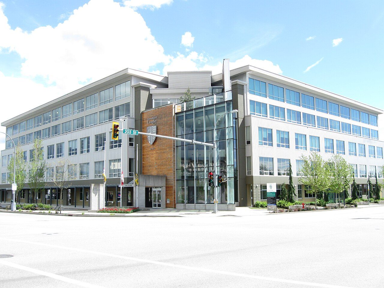 Photo: Leoboudv · CC BY-SA 4.0