First pick
Parc récréotouristique de Saint-Lin-Laurentides
Park or garden · 50 m outside town
51 ha3.5 km of path
45 minto walk all 3.5 km of path
14 km north-westfrom the centre
Directionsto a point inside
Each edition grades its towns against each other only.
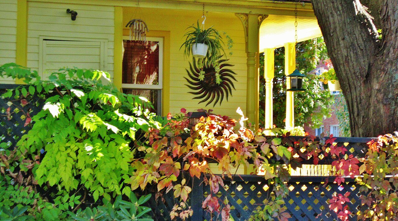 Photo: Richard Mc Neil · CC BY 3.0
For a provincial park, Îles-de-Boucherville National Park (Québec) lies 7.8 km off. The largest is fleuve Saint-Laurent (Îles de Verchères) Water Fowl Gathering Area: 2,095 ha, 6.4 km from the edge of town. 3 beaches are mapped within 5 km, none with a name.
Each figure against the 2,611 Canadian towns and neighbourhoods of 2,500+ (not city hubs or reserves), with the town marked and the typical one’s line. No letter: the outdoors is described for Canadian towns, not graded.
CPCAD 2.9.0 (ECCC, 2026), OpenStreetMap (November 2026). Distances from the town’s outline.
The 40 Canadian towns nearest in population (92,544 to 173,599 residents), by the share of the land within 10 km that is protected. Hover for each one’s figures; click for its page.
For public protected areas, Terrebonne sits near the top of its size group: 9 of 39 have more. It trails them for walking routes, where 29 of 39 have more.
| Town | Protected within 10 km | In town | Areas | Routes | Beaches | |
|---|---|---|---|---|---|---|
| 1 | Maple Ridge BC | 26% | 21% | 101 | 1 | 41 |
| 2 | Coquitlam BC | 25% | 28% | 130 | 5 | 69 |
| 3 | Delta BC | 24% | 17% | 181 | 9 | 19 |
| 4 | North Vancouver BC | 15% | 22% | 18 | 11 | 169 |
| 5 | Kamloops BC | 14% | 13% | 16 | 0 | 11 |
| 6 | Kelowna BC | 13% | 3.8% | 36 | 0 | 42 |
| 7 | Chilliwack BC | 11% | 7.7% | 36 | 4 | 26 |
| 8 | Saanich BC | 11% | 9.4% | 43 | 7 | 56 |
| 9 | Strathcona County AB | 9.4% | 1.4% | 38 | 7 | 6 |
| 10 | Trois-Rivières QC | 8.4% | 1.2% | 44 | 1 | 10 |
| 11 | Cape Breton NS | 8.2% | 8.6% | 176 | 1 | 74 |
| 12 | Victoria BC | 8% | 0.9% | 20 | 4 | 34 |
| 13 | Pickering ON | 7.6% | 11% | 46 | 1 | 11 |
| 14 | Saguenay QC | 6% | 6.1% | 29 | 0 | 11 |
| 15 | Brossard QC | 5.6% | 9.1% | 31 | 0 | 6 |
| 16 | Kingston ON | 5% | 6.2% | 54 | 2 | 5 |
| 17 | Ajax ON | 4.9% | 5.8% | 31 | 1 | 8 |
| 18 | Lévis QC | 4.1% | 0.6% | 62 | 1 | 8 |
| 19 | Whitby ON | 3.9% | 4.7% | 37 | 1 | 3 |
| 20 | Terrebonne QC | 3.8% | 3.6% | 60 | 0 | 3 |
| 21 | Langley BC | 3.5% | 2.9% | 144 | 8 | 10 |
| 22 | St. John's NL | 2.2% | 1.2% | 6 | 1 | 41 |
| 23 | Moncton NB | 2.2% | 1.7% | 17 | 0 | 2 |
| 24 | Nanaimo BC | 1.9% | 6.7% | 42 | 2 | 33 |
| 25 | Cambridge ON | 1.7% | 0.4% | 33 | 10 | 2 |
| 26 | Bowmanville ON | 1.6% | 3% | 25 | 2 | 9 |
| 27 | Newmarket ON | 1.3% | 1.8% | 27 | 0 | 0 |
| 28 | Milton ON | 1.3% | 0% | 38 | 15 | 3 |
| 29 | St. Catharines ON | 1.2% | 1.7% | 15 | 4 | 7 |
| 30 | Saint-Jean-sur-Richelieu QC | 1.1% | 1.2% | 18 | 1 | 3 |
| 31 | Niagara Falls ON | 1.1% | 1.7% | 15 | 3 | 4 |
| 32 | Chatham ON | 1% | 1% | 21 | 0 | 8 |
| 33 | Guelph ON | 0.9% | 3.1% | 15 | 10 | 5 |
| 34 | Red Deer AB | 0.7% | 1.2% | 5 | 1 | 1 |
| 35 | Peterborough ON | 0.6% | 0% | 6 | 1 | 2 |
| 36 | Waterloo ON | 0.6% | 0% | 17 | 12 | 1 |
| 37 | Lethbridge AB | 0.4% | 0% | 1 | 0 | 0 |
| 38 | Brantford ON | 0.3% | 0% | 15 | 3 | 0 |
| 39 | Thunder Bay ON | 0.1% | 0.4% | 3 | 0 | 4 |
| 40 | Airdrie AB | 0% | 0% | 0 | 0 | 0 |
Green space, woods, protected areas and footpaths in and around the town; tap a number for its park or wood.
Parc récréotouristique de Saint-Lin-Laurentides is the largest, at 51 ha; the rest follow by size, numbered as on the map.
Its largest place holds only 28%: the rest is spread out.
Source: OpenStreetMap parks, gardens, commons and woods with a name, in the town or within 400 m, © OpenStreetMap contributors, ODbL. Sizes are the mapped outline’s.
Residents of each 2021 dissemination area, at a point inside it, within 400 m (about a 5-minute walk) of a park or playing field mapped on OpenStreetMap.
In the typical Canadian town the share is 83%, higher than here. Around 39,000 residents are further than 400 m from a park.
Every protected and conserved area in CPCAD within 10 km of the town’s edge: parks, reserves, wildlife areas and conservation land.
On public land: 22 of the 60. The others are private conservation land. fleuve Saint-Laurent (Îles de Verchères) Water Fowl Gathering Area covers 2,095 ha, the most of any named area. The figures include 22 private conservation areas, left unnamed.
9 more named areas within 10 km are in the figures.
Source: Canadian Protected and Conserved Areas Database (CPCAD) 2.9.0, Environment and Climate Change Canada. Contains information licensed under the Open Government Licence – Canada.
National parks (Parks Canada) and provincial or territorial parks by direction and distance from the town’s edge: every one within 10 km, and the nearest of each within 100 km.
Canada’s national parks are all more than 100 km from Terrebonne, so the parks here are provincial. Québec’s “national” parks are the province’s own, managed by Sépaq.
Source: CPCAD 2.9.0 (ECCC): areas and outlines, distances outline to outline; directions from the town’s centre point.
OpenStreetMap footpaths, paths, bridleways and steps, and tracks open on foot, in the town and 1 km around it; woods as mapped (landuse=forest, natural=wood).
59% of Canadian towns have more footpath per km². It is more wooded than 72% of Canadian towns.
Source: OpenStreetMap, © OpenStreetMap contributors, ODbL. Mapping varies by place: a dense figure can mean keen local mappers as much as many paths.
Named walking and hiking routes on OpenStreetMap with at least 300 m within 2 km of the town, longest first; national routes lead.
No walking route is mapped within 2 km of the town. Mapping of trails as routes varies a great deal across Canada.
Source: OpenStreetMap (route relations hiking, foot and walking), © OpenStreetMap contributors, ODbL. Trans Canada Trail sections as OSM maps them.
Daylight at the town’s latitude and ECCC’s 1991–2020 normals (Montreal Trudeau (Airport), 28 km away). Good months: long days, highs of 15–30 °C, light rain.
| Jan | Feb | Mar | Apr | May | Jun | Jul | Aug | Sep | Oct | Nov | Dec | |
|---|---|---|---|---|---|---|---|---|---|---|---|---|
| Daylight (h) | 9.0 | 10.3 | 11.8 | 13.5 | 14.9 | 15.7 | 15.4 | 14.1 | 12.5 | 10.8 | 9.4 | 8.7 |
| High (°C) | -6 | -4 | 2 | 11 | 19 | 24 | 27 | 26 | 21 | 13 | 5 | -2 |
| Rain & snow (mm) | 86 | 66 | 77 | 90 | 86 | 84 | 91 | 94 | 89 | 103 | 84 | 92 |
The yearly snowfall is near 217 cm. Most rain and snow falls in October, 103 mm; February sees 66 mm. From -6 °C in January to 27 °C in July: that is the range of daytime highs. The climate in Terrebonne →
Beaches on OpenStreetMap within 5 km of the town’s edge, nearest first, with directions.
No national or provincial register of beach water quality is published as open data, so check the local health unit before swimming.
Source: OpenStreetMap (natural=beach), © OpenStreetMap contributors, ODbL.
Viewpoints, peaks, waterfalls, picnic sites, nature reserves, playgrounds, dog parks, campsites and boat launches mapped within 2 km of the town.
Top of the list: playgrounds, 255 of them.
Plus 4 viewpoints without a name on the map.
Plus 1 nature reserve without a name on the map.
Plus 7 picnic sites without a name on the map.
Plus 254 playgrounds without a name on the map.
Plus 1 dog park without a name on the map.
Plus 1 slipway without a name on the map.
Source: OpenStreetMap (tourism, natural, waterway and leisure tags), © OpenStreetMap contributors, ODbL.
The nearest places, coloured by the share of the land within 10 km that is protected; tap one for its outdoors page.
| Town | Protected within 10 km | Areas | Routes | Beaches |
|---|---|---|---|---|
| Terrebonne | 3.8% | 60 | 0 | 3 |
| Mascouche 4.3 km | 4% | 32 | 0 | 0 |
| Saint-François 7.9 km | 5.4% | 56 | 0 | 1 |
| Bois-des-Filion 9.0 km | 1.7% | 25 | 0 | 0 |
| Lorraine 10 km | 1.6% | 25 | 0 | 0 |
| Marc-Aurèle-Fortin 11 km | 7.1% | 30 | 0 | 0 |
| Rivière-des-Prairies 11 km | 8.8% | 41 | 0 | 1 |
For protected land, Rivière-des-Prairies has twice as much or more.
Within 10 km, 3.8% of the land lies in protected areas.
The beaches mapped within 5 km have no names on the map.
No national park lies within 100 km of Terrebonne.
It is Îles-de-Boucherville National Park (Québec), 7.8 km away.
fleuve Saint-Laurent (Îles de Verchères) Water Fowl Gathering Area, a wildlife area of 2,095 ha.
On the normals, May to September: that is when days are long, highs reach 15 °C and rain is light.
Protected areas: Canadian Protected and Conserved Areas Database (CPCAD) 2.9.0, Environment and Climate Change Canada, 2026: every area within 10 km and the nearest national and provincial parks, measured outline to outline.
Walking routes and beaches: OpenStreetMap, November 2026: named hiking, foot and walking route relations within 2 km and beaches within 5 km.
Towns: Statistics Canada 2021 Census boundaries and populations; the comparison is the Canadian towns and neighbourhoods of 2,500+, not city hubs or reserves.
When to go: Environment and Climate Change Canada, Canadian Climate Normals 1991–2020, from the nearest station that publishes them.
Green space, paths, woods, things to do: OpenStreetMap (Geofabrik’s Canada extract), November 2026: parks, gardens, playing fields, woods, footpaths, the coastline and things to do in and around each town.
Residents: Statistics Canada 2021 Census dissemination areas (population, boundaries), each at a point inside it.
Walking routes and beaches © OpenStreetMap contributors, available under the Open Database Licence (ODbL).
Not on this page: trailheads and trail grades, and beach water quality. No open Canadian dataset gives these for every town yet.
Adapted from Statistics Canada (Census of Population 2021, population estimates 2025, 2021 census boundaries) under the Statistics Canada Open Licence; this does not constitute an endorsement by Statistics Canada. Neighbourhood names in some cities © OpenStreetMap contributors (ODbL).