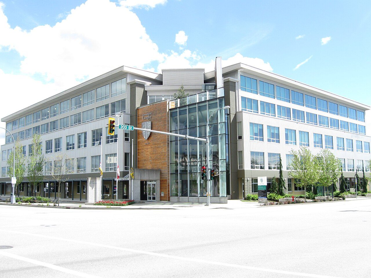
LangleyBritish Columbia
Its population rose 13% from 2016 to 2021. Home to 163,885 people, this town lies in British Columbia.
Is Langley a good place to live?
Strong in places, weak in others. Langley’s overall grade, C+, puts it better than 44% of Canadian towns. The ranking puts it #110 of 250 in British Columbia. Cost of living is its weak spot (D−). It lags on safety as well (C). Where it does best is health (A). Its remaining grades are unremarkable: B− for schools and B for hazard risk.
Rents here are the metro area's average, shared by every town and neighbourhood in it. Health is graded on the health region's survey figures and life expectancy, with the distance to hospital giving the town its own spread.
What makes Langley stand out
The 3 things Langley does most differently from other towns.
How Langley grades
Each subject compares Langley with Canadian towns of 2,500 or more, ordered by how far it is from the middle. Towns in other countries are graded separately.
How TownRatings grades Canadian towns →
Canadian Museum of Flight and 28 more in and around Langley
The best-known places to visit in and around Langley come first; the full list is on the Attractions page.
 National historic site · Parks CanadaStorehousein town
 MuseumFort Langleyin townZooZooGreater Vancouver Zooin townMuseumMuseumAldergrove Community Archives & Telephone Museumin townMuseumMuseumBC Farm Museumin town
Photos: each place’s Wikidata image, from Wikimedia Commons under the licence below (our copy, resized).
Photo credits (2)
- Storehouse: Mwoodbc, CC BY-SA 3.0, Wikimedia Commons
- Fort Langley: Themightyquill, CC BY-SA 2.5, Wikimedia Commons
The data
Data highlights are ordered by what stands out in Langley.
Rent takes more of local pay in Langley than in British Columbia’s towns or Canadian towns: 26% of household income
Households that own their home make up 82%. Just over a fifth of households spent 30% or more of their income on shelter, above both British Columbia’s towns (21%) and Canadian towns (18%). Figures for rent as a share of income and monthly rent for a two-bedroom are published for the Vancouver metro area as a whole, not for Langley alone.
What homes were worth · The median owner’s estimate at the 2021 census
| Census 2021 | Langley | British Columbia | Canada |
|---|---|---|---|
| Rent as a share of income | 26% | 24% | 20% |
| Households owning their home | 82% | 76% | 74% |
| Households spending 30%+ on shelter | 22% | 21% | 18% |
Statistics Canada, Census 2021; CMHC Rental Market Survey via Statistics Canada · The 2021 census asked owners what their home was worth; those values, and 2020 incomes, are what this compares.
Health in Langley beats 89% of Canadian towns
Chronic conditions run at 15% of adults, age-standardised, about level with British Columbia’s towns (15%) and below Canadian towns (17%). For 2022/2024, the region’s figure is 83.2 years at birth, 85.8 for women and 80.7 for men. The survey puts the region’s share in very good or excellent health at 50%; British Columbia as a whole is at 50%. Measured from where Langley’s residents live, the nearest hospital is 5.9 km away, beyond the typical 3.7 km. Langley doesn’t get its own health survey and life expectancy figures; the ones here come from the Fraser South Health Service Delivery Area.
Very good or excellent health · adults, age-standardised
| Health | Langley | British Columbia | Canada |
|---|---|---|---|
| Life expectancy at birth | 83.2 | 81.0 | 81.5 |
| Smokers | 8.2% | 9% | 12% |
| Chronic conditions (average share) | 15% | 15% | 17% |
| Very good or excellent health | 50% | 50% | 52% |
Statistics Canada, Canadian Community Health Survey 2023/2024 and life expectancy 2022/2024; Open Database of Healthcare Facilities
July afternoons in Langley reach 25.0°C (British Columbia towns 23.1°C, Canadian towns 25.5°C)
Most of the snow comes in January, about 22 cm. Precipitation totals 1,649 mm a year, above both British Columbia’s towns (1,152 mm) and Canadian towns (883 mm). Midwinter nights in Langley bottom out at 0.5°C on average. The frost-free season runs from 11 April to 30 October, 201 days.
Average high by season · ECCC normals, 1991–2020
| Normals, 1991–2020 | Langley | British Columbia | Canada |
|---|---|---|---|
| Precipitation a year | 1,649 mm | 1,152 mm | 883 mm |
| January night low | 0.5°C | 0.5°C | −13.5°C |
| Days with frost a year | 60 | 60 | 159 |
| July afternoon high | 25.0°C | 23.1°C | 25.5°C |
Environment and Climate Change Canada, Canadian Climate Normals 1991–2020 (Pitt Meadows)
Langley is graded a C for safety
Violence reaches 10.2 per 1,000 residents a year. Its violent severity index came to 77, close to British Columbia’s towns (76) and below Canadian towns (86).
Year by year · Crime Severity Index for each year
| 2023–2025 | Langley | British Columbia | Canada |
|---|---|---|---|
| Violent crime | 10.2 | 12.5 | 12 |
| Violent Crime Severity Index | 77 | 76 | 86 |
Statistics Canada, Uniform Crime Reporting Survey, 2023–2025 average
Trips to work from Langley take longer than from British Columbia’s towns or Canadian towns: 30 min on average
92% of commuters drove, about level with Canadian towns (89%) and above British Columbia’s towns (87%).
How working residents got to work · census 2021
| Census 2021 | Langley | British Columbia | Canada |
|---|---|---|---|
| Average trip | 30 min | 26 min | 26 min |
| Car or van | 92% | 87% | 89% |
Statistics Canada, Census 2021 (labour and commuting) · The 2021 census was taken in May 2021, during COVID-19 restrictions: more people than usual worked from home or were off work.
Earthquake risk in Langley runs 15 times the typical Canadian town’s: $0.46 per $1,000 a year
Shared with the rest of the Fraser South health region: radon tests
Burn scars are few around Langley, with 0.1% of the land within 25 km touched by fire since 1986 (0.002% a year). Flood mapping exists: 2 studies, most recently by City of the town.
Radon tests above the guideline · share of tested homes, 200 Bq/m³
| Hazards | Langley | British Columbia | Canada |
|---|---|---|---|
| Earthquake loss per $1,000 of buildings a year | $0.46 | $0.36 | $0.030 |
| Radon tests above the guideline | 0% | 1.8% | 6.6% |
NRCan seismic risk model and burned areas, Health Canada radon survey, the Flood Hazard Map Inventory
Children make up 18% of Langley, above British Columbia’s towns and Canadian towns
27% of residents belong to a visible minority, above British Columbia’s towns (8.6%) and Canadian towns (15%) alike. Over-65s are 17% of the population.
Ages · Share of residents in each age group, Census 2021
Schooling · Highest qualification, residents 15 and over
Women and men · all residents
51.1% of Langley’s residents are women
In 2021 there were 67,765 women to 64,830 men; Canada as a whole is 50.9% women.
| Langley | British Columbia | Canada | |
|---|---|---|---|
| Under 15 | 18% | 14% | 16% |
| 15 to 64 | 65% | 64% | 64% |
| 65+ | 17% | 21% | 19% |
| No certificate, diploma or degree | 13% | 13% | 16% |
| Postsecondary qualification | 54% | 56% | 56% |
Statistics Canada, Census 2021; British Columbia and Canada: medians of towns of 2,500+
Langley in November: highs near 10°C, lows near 2°C
The forecast on the Weather page is ECCC’s for Langley. A normal December brings highs of 6°C, lows of freezing. In November, the normal is 249 mm of rain and snow. Expect around 7 cm of snow in November.
Normal highs, the months ahead · ECCC normals, 1991–2020
| Season | High | Low | Rain and snow |
|---|---|---|---|
| Winter | 7°C | 0°C | 600 mm |
| Spring | 15°C | 5°C | 373 mm |
| Summer | 24°C | 12°C | 153 mm |
| Autumn | 15°C | 6°C | 523 mm |
ECCC normals, 1991–2020 (Pitt Meadows); the forecast is on the Weather page
Federally, Langley is divided between 2 ridings, among them Langley Township—Fraser Heights and Abbotsford—South Langley
Residents of Langley divide between Tako van Popta (74%) and Sukhman Gill in the Commons.
Wikidata, MAMH, MMAH, Statistics Canada
Langley has 8 public library branches
By name: Fort Langley Library, FVRL: Aldergrove Library, FVRL: Brookswood Library and 5 more.
Provincial library statistics, OpenStreetMap, the CRA and Statistics Canada
Langley is on the The Trans Canada Trail
Count 144 protected areas within 10 km of town. Swimmers have 10 beaches within 5 km, Barnston Bare Beach the nearest. Peace Arch Park is the closest provincial park, at 5.3 km. The closest of Canada’s national parks is Gulf Islands National Park Reserve, at 34 km.
Protected land · of the land within 10 km
| Outdoors | Langley | British Columbia | Canada |
|---|---|---|---|
| Public protected areas within 10 km | 136 | 14 | 4 |
| Protected land within 10 km | 3.5% | 6.7% | 2.3% |
Canadian Protected and Conserved Areas Database (CPCAD), OpenStreetMap routes and beaches
5 school boards share Langley
Its 3 km reach takes in 82 elementary schools, 10 secondary schools, 3 schools for every grade and 9 alternative or adult schools, all of Langley’s schooling. Results are mixed: 24 of 92 schools above the middle in British Columbia, 43 below it. In French: one of the 104 schools, where in British Columbia the share is 2%.
| School | Level | Students | System |
|---|---|---|---|
| Aldergrove Christian Academy IndependentIn LangleyElementary | Elementary | – | Independent |
| Aldergrove Community Secondary Fourth fifth in British ColumbiaIn LangleySecondary | Secondary | – | English public |
| des Voyageurs FrenchTeaches in FrenchElementary | Elementary | – | French public |
| Maple Ridge Secondary Top fifth in British ColumbiaResults in the top fifth in British ColumbiaElementary | Elementary | – | English public |
Schools by system · Schools within 3 km
| Schools within 3 km | Langley | British Columbia | Canada |
|---|---|---|---|
| School boards | 5 | 2 | 3 |
| Nearest elementary school | 2 km | 0.6 km | 0.5 km |
Provincial school lists and results, 2025/26
Langley has 6 historic places on the registers, 2 in the top tier
The record has 3 Recognized Federal Heritage Buildings and a provincial or municipal listing. Of the dated places, Fort Langley is the oldest, from 1839. Also worth knowing: homes from before 1961 make up 3.7% of the stock, below both British Columbia’s towns (11%) and Canadian towns (18%).
Historic places by designation · inside the town
Among them
- Fort Langley 1839
- Storehouse 1840
- Northeast Bastion 1957
- Servants' Quarters 1957
| Heritage | Langley | British Columbia | Canada |
|---|---|---|---|
| Homes built before 1961 | 3.7% | 11% | 18% |
Canadian Register of Historic Places, Directory of Federal Heritage Designations, Québec’s Répertoire du patrimoine culturel, Wikidata; Census 2021 homes by period
Everything we know about Langley
Famous people from Langley
12 notable people were born in Langley.


Photo credits
Shea Theodore: Michael Miller, CC BY-SA 4.0 · Brad Thiessen: Pens Through My Lens, CC BY-SA 3.0 · Hawley Bennett-Awad: Thowra_uk, CC BY 2.0
Langley’s neighbours
The nearest places of 1,000 or more. Statistics Canada
| Town | People | km | Overall | Cost | Safety | Health |
|---|---|---|---|---|---|---|
| Langley | 163,885 | — | C+ | D− | C | A |
| Langley | 35,444 | 3.1 | C− | D− | D | A |
| Aloha Estates | 13,194 | 4.5 | B− | D | C− | A |
| Sunrise Estates | 4,292 | 5.2 | C− | D− | C− | A |
| Rosewood Park | 9,004 | 5.2 | C | D− | C− | A |
| Clayton Heights | 8,961 | 5.3 | B− | D− | C− | A |
| Cloverdale | 13,615 | 7 | C− | D− | C− | A |
People: Statistics Canada, Census 2021. Distances: centre to centre.
Questions about Langley
Is Langley growing?
Yes: the census counted 117,285 in 2016 and 132,603 in 2021, a rise of 13.1%, against 4.1% for the median of Canadian towns. The 2025 estimate is 163,885.
What kind of homes are in Langley?
48% of homes are single-detached houses, against 64% for the median of Canadian towns, and 3% are in apartment buildings of five storeys or more. A household averages 2.8 people; 21% are one person living alone.
How old are the people of Langley?
Its median age is 40.8, where Canadian towns sit at 45.2.
About Langley
Town in British Columbia
TownRatings follows Statistics Canada’s map: Langley is one municipality in British Columbia, figures and all.
Statistics Canada: population estimates 2025 (17-10-0155), Census of Population 2021, 2021 census boundaries.
- Population
- 163,885 (people, 2025 estimate)
- Province or territory
- British Columbia
- Census division
- Greater Vancouver
- Metro area
- Vancouver
- Census subdivision
- 5915001
Sources: Statistics Canada, Census of Population 2021 · population estimates 2025 (17-10-0155) and 2021 census boundaries · Uniform Crime Reporting Survey 2023–25 (35-10-0026, 35-10-0183 to 35-10-0190) · CMHC rents as published by Statistics Canada (34-10-0133) · grades by TownRatings. Under the Statistics Canada Open Licence.
Adapted from Statistics Canada (Census of Population 2021, population estimates 2025, 2021 census boundaries) under the Statistics Canada Open Licence; this does not constitute an endorsement by Statistics Canada. Neighbourhood names in some cities © OpenStreetMap contributors (ODbL).