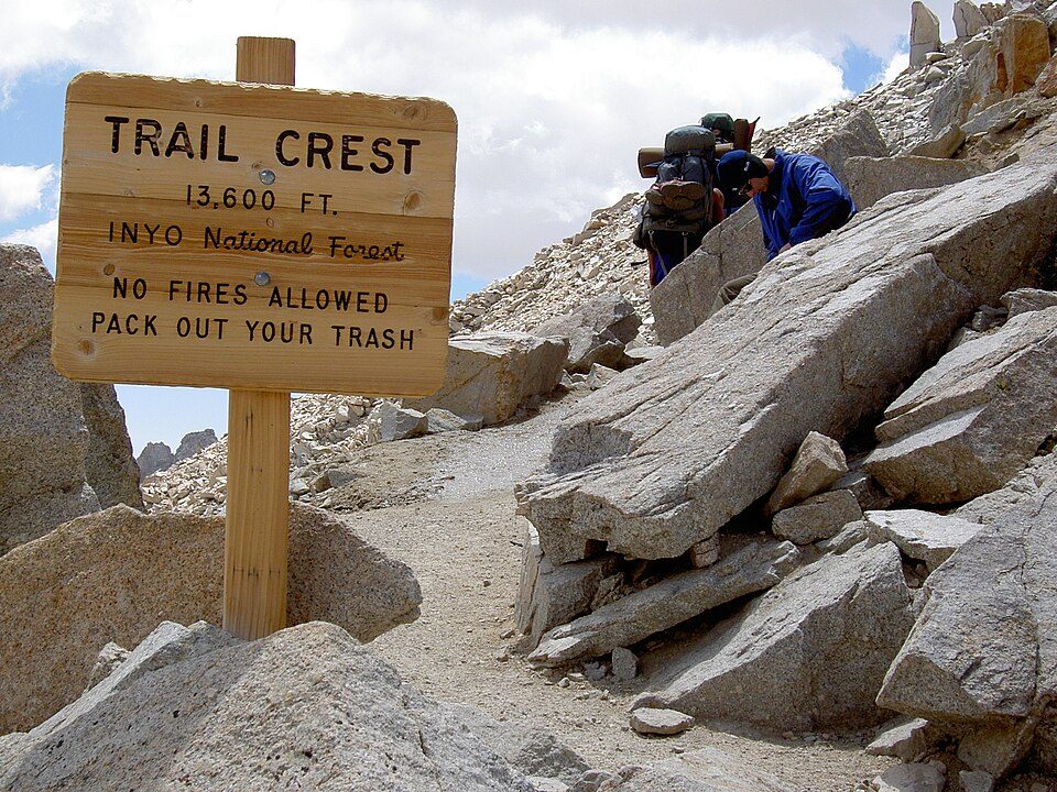
Mount Whitney Trail
The Mount Whitney Trail is a hiking trail that climbs Mount Whitney, the tallest peak in the contiguous United States. Its address puts it 10 mi west of Lone Pine. Worth the trip, Mount Whitney is 1.7 mi off.

A park & preserve, 10 mi west of Lone Pine
Summers are hot
July and August highs run 98–99°, and about 119 days a year reach 90°. When to go ↓
Lone Pine is the nearest base
Lone Pine is 10 miles east, with 17 places to stay. Where to stay ↓
A day trip from Fresno
Fresno is about 86 miles west (straight-line). Where to stay ↓
Best months: Apr, May and Oct
April, May and October are the mild months, with highs of 73–82°. When to go ↓
Written from NOAA 1991–2020 normals, Overture places to stay, Census town figures and Wikipedia.
Weather, month by month
Each month’s highs and lows around Mount Whitney Trail are below.
Mount Whitney Trail
The Mount Whitney Trail is a hiking trail that climbs Mount Whitney, the tallest peak in the contiguous United States. It starts at Whitney Portal, 13 miles (21 km) west of the town of Lone Pine, California. The hike is 21.4 mi (34.4 km) round trip, with an elevation gain of over 6,100 feet (1,860 m). It is a very popular trail during Summer and Fall when ice and snow are not present, and therefore its access is restricted by quotas from May to October. Access during non-peak months require permits from the United States National Forest, but quotas are not necessary.
- Type
- Park & preserve
- Wikipedia readers
- 18K a year
Places to stay near Mount Whitney Trail
The first towns with rooms are Lone Pine (17) and Independence (8).
Lone Pine
The closest town with somewhere to stay.
1,439 people
10 mi east of Mount Whitney Trail
Compare 4 towns
| Town | From Mount Whitney Trail | Drive | Places to stay | People | Typical home |
|---|---|---|---|---|---|
| Lone Pine | 10 mi east | 15 min | 17 3 hotels · 7 motels · 6 campgrounds · 1 RV park | 1,439 | $217K |
| Independence | 19 mi north | 30 min | 8 1 hotel · 4 motels · 3 campgrounds | 730 | $296K |
| Olancha 25% vacation homes | 25 mi southeast | 40 min | 8 4 hotels · 2 motels · 1 campground · 1 RV park | 113 | — |
| Silver City 100% vacation homes | 22 mi west | 35 min | 2 1 lodge or cabins · 1 campground | — | — |
Getting there
Nearest airports with airline service
Also near Mount Whitney Trail
More places people know lie within 44 miles.
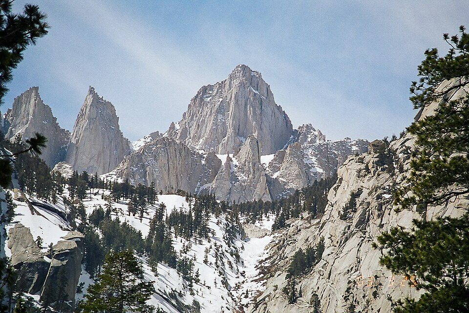 Big draw12 mi MountainMount Whitney
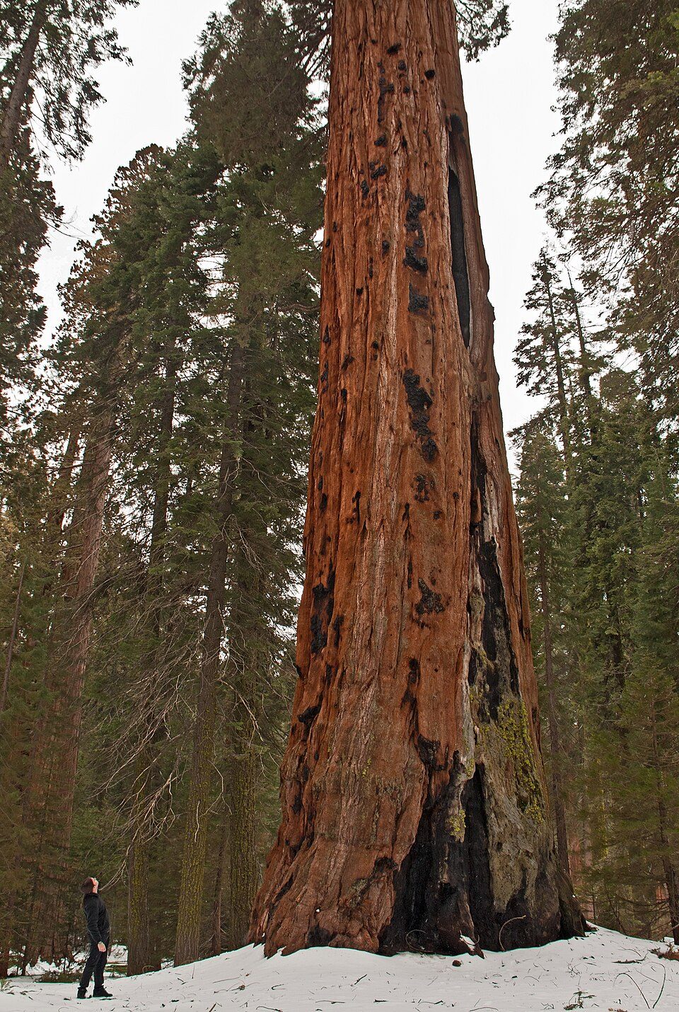 Big draw228 mi National ParkSequoia National Park1.4M visitors a year
 313 mi National Historic SiteManzanar National Historic Site96K visitors a year
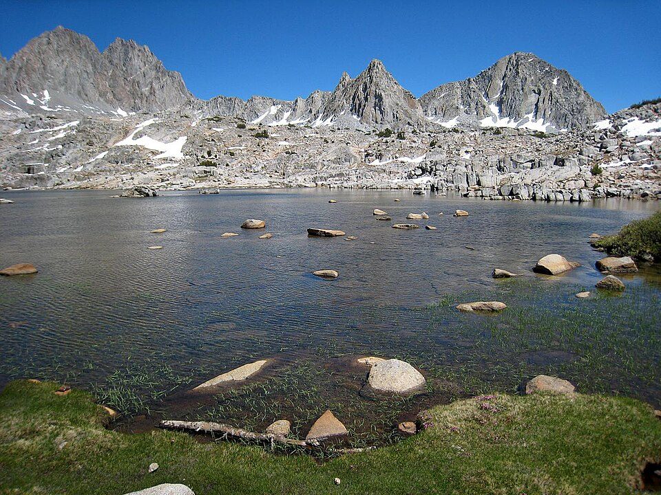 427 mi National ParkKings Canyon National Park780K visitors a year
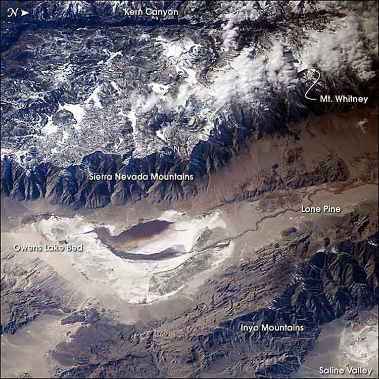 520 mi LakeOwens Lake
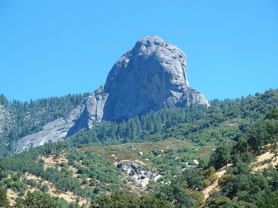 628 mi MountainMoro Rock
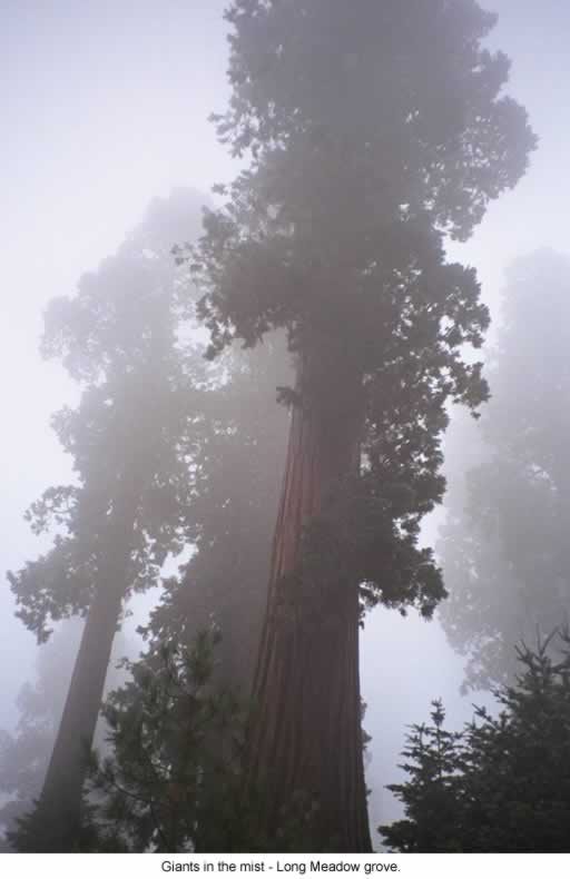 39 mi National forestSequoia National Forest
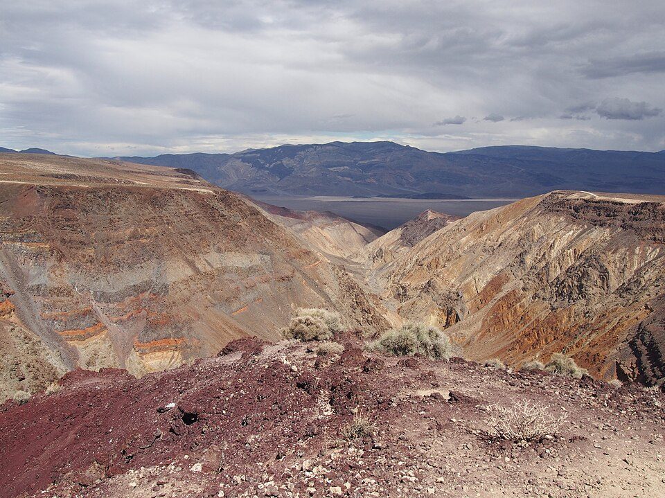 44 mi Canyon & gorgeRainbow Canyon
Photo credits
Mount Whitney: Geographer (talk · contribs), CC BY 1.0 · Sequoia National Park: Alberto Carrasco Casado, CC BY 2.0 · Manzanar National Historic Site: Dorothea Lange, Public domain · Kings Canyon National Park: NileGuide.com (Josh Steinitz), CC BY 2.0 · Owens Lake: Picture prepared for Wikipedia by Adrian Pingstone in November 2003., Public domain · Moro Rock: DiverDave, CC BY-SA 3.0 · Sequoia National Forest: US Forest Service, Public domain · Rainbow Canyon: Agnieszka Kwiecień, Nova, CC BY-SA 4.0


Good to know about Mount Whitney Trail
What town is Mount Whitney Trail near?
Lone Pine, CA, about 10 miles east.
When is the best time to visit Mount Whitney Trail?
April, May and October, with highs of 73–82°.
How far is Mount Whitney Trail from Fresno and Bakersfield?
About 86 miles west of Fresno and about 94 miles southwest of Bakersfield, as the crow flies.
What is the closest airport to Mount Whitney Trail?
Eastern Sierra Regional (BIH), about 56 miles away. The nearest big hub is Fresno Yosemite (FAT), about 82 miles.
Where should I stay near Mount Whitney Trail?
Lone Pine (10 mi, 17 places to stay), Independence (19 mi, 8 places to stay) and Olancha (25 mi, 8 places to stay).
Lone Pine has the answers
Be the first to share a tip in Lone Pine’s Town Square.
Sources: National Park Service · ski areas © OpenSkiMap / OpenStreetMap contributors · Wikidata · Wikipedia readership · NOAA climate normals · U.S. Census.