
Manzanar National Historic Site
Manzanar is the site of one of ten American concentration camps, where more than 120,000 Japanese Americans were incarcerated during World War II, from March 1942 to November 1945. It stands 8 mi southeast of Independence. The National Park Service manages it. In 2025, it drew 96K visitors.

A national historic site, 8 mi southeast of Independence
Summers are hot
July and August highs run 98–99°, and about 119 days a year reach 90°. When to go ↓
May is the busiest month
May averages about 12,392 visitors, 2.7 times December. When to go ↓
One of the most looked-up attractions in the U.S.
About 78K people a year read its Wikipedia article, more than for 96% of the 7,770 attractions we track.
Independence is the nearest base
Independence is 8 miles northwest, with 8 places to stay. Where to stay ↓
A day trip from Fresno
Fresno is about 91 miles west (straight-line). Where to stay ↓
Written from National Park Service visitor counts, NOAA 1991–2020 normals, Overture places to stay, Census town figures, Wikidata and Wikipedia. Updated when the Park Service posts a new month.
Visits and weather by month
Here are the months at Manzanar, with visitors and weather.
Manzanar National Historic Site
Manzanar is the site of one of ten American concentration camps, where more than 120,000 Japanese Americans were incarcerated during World War II, from March 1942 to November 1945. Although it had over 10,000 inmates at its peak, Manzanar was one of the smaller internment camps. It is located in California's Owens Valley, on the eastern side of the Sierra Nevada mountains, between the towns of Lone Pine to the south and Independence to the north, approximately 230 miles (370 km) north of Los Angeles. Manzanar means "apple orchard" in Spanish. The Manzanar National Historic Site, which preserves and interprets the legacy of Japanese American incarceration in the United States, was identified by the United States National Park Service as the best-preserved of the ten former camp sites.
- Type
- National Historic Site
- Established
- 1972
- Run by
- National Park Service
- Listed
- National Historic Landmark (1985) · Los Angeles Historic-Cultural Monument (1976) · National Register of Historic Places (1976) · California Historical Landmark (1972)
- Wikipedia readers
- 78K a year
- Official site
- nps.gov/manz
Opening times and entry
Bases for Manzanar National Historic Site
For a bed close by, look to Lone Pine (17) and Independence (8).
Lone Pine
The closest town with somewhere to stay.
1,439 people
11 mi south of Manzanar Visitor Center · 11 mi to the park
Compare 3 towns
| Town | From the visitor center | Drive | Places to stay | People | Typical home |
|---|---|---|---|---|---|
| Lone Pine | 11 mi south | 15 min | 17 3 hotels · 7 motels · 6 campgrounds · 1 RV park | 1,439 | $217K |
| Independence | 8 mi northwest | 10 min | 8 1 hotel · 4 motels · 3 campgrounds | 730 | $296K |
| Big Pine | 31 mi north | 45 min | 6 3 motels · 3 campgrounds | 1,615 | $308K |
Getting there
Nearest airports with airline service, from the visitor center
Make a day of it near Manzanar
These well-known sights sit within 52 miles.
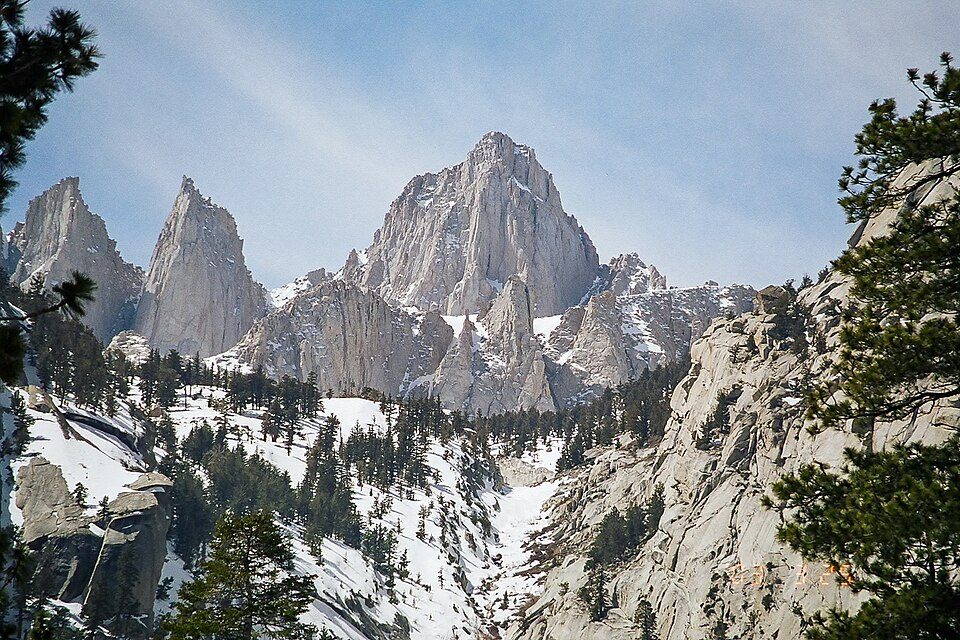 Big draw113 mi MountainMount Whitney
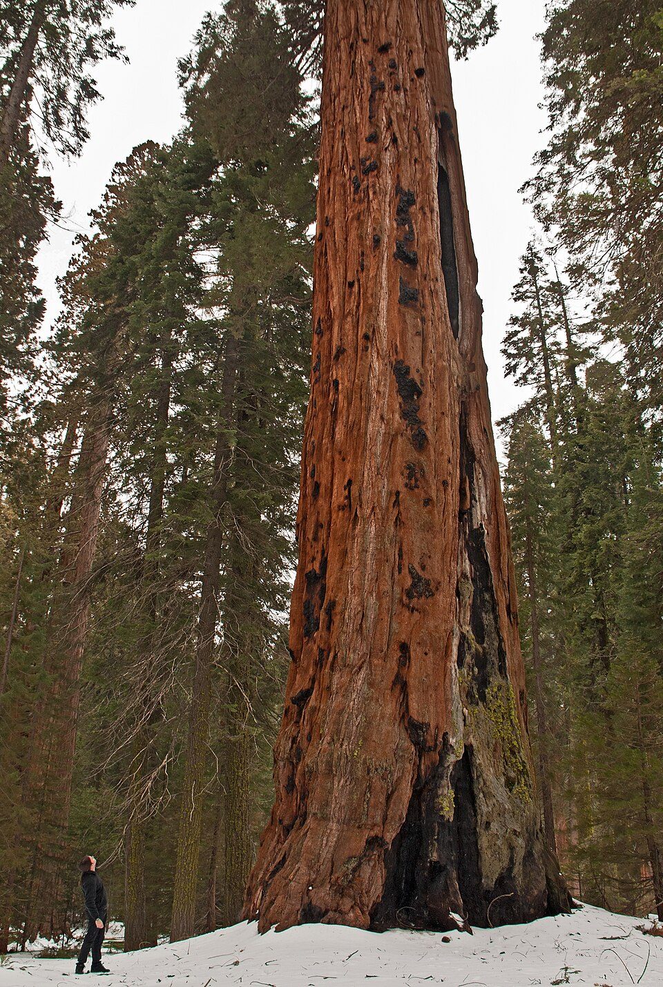 Big draw36 mi National ParkSequoia National Park1.4M visitors a year
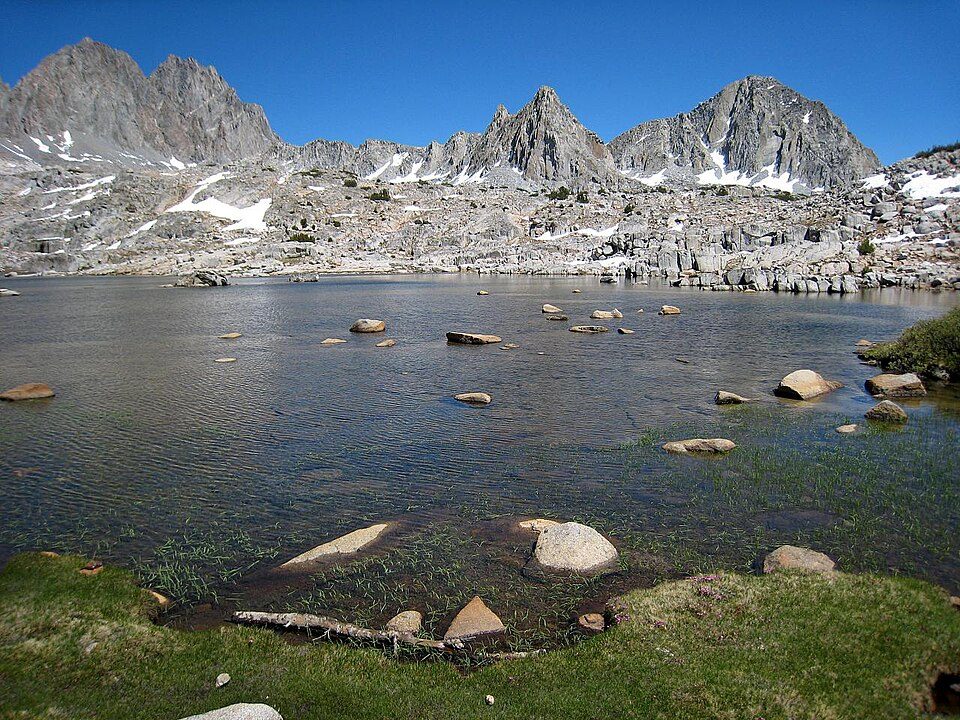 229 mi National ParkKings Canyon National Park780K visitors a year
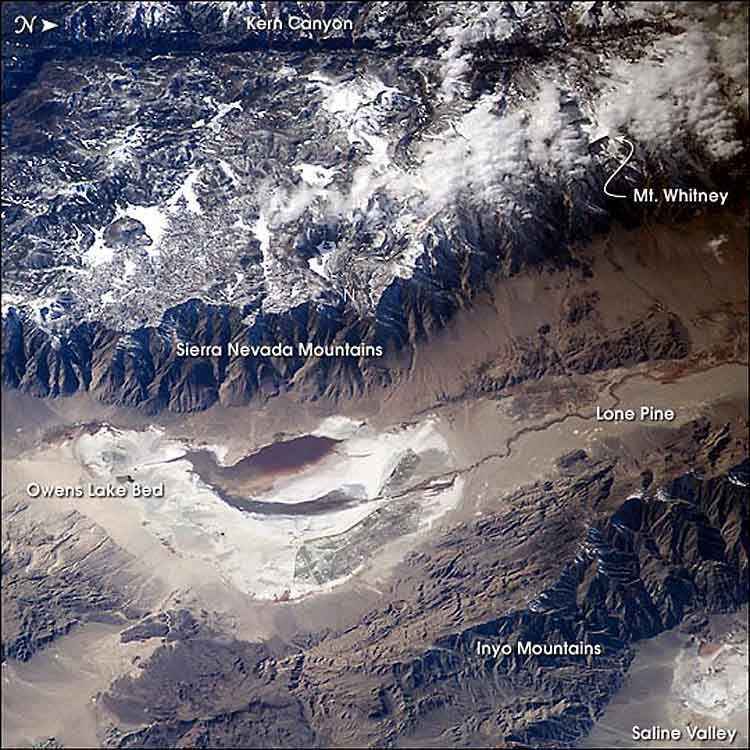 323 mi LakeOwens Lake
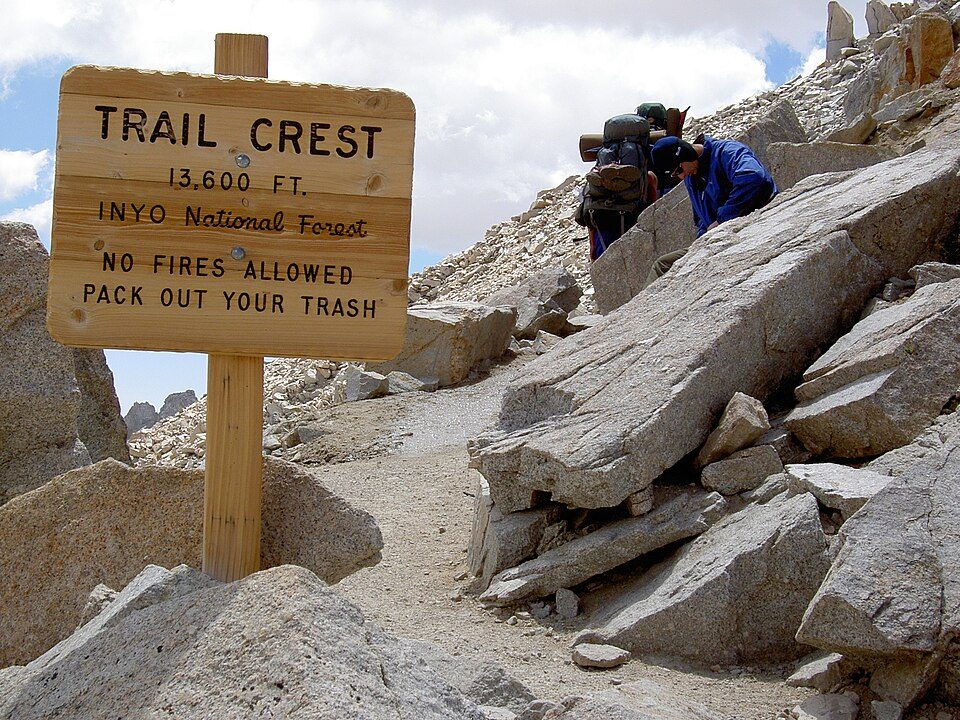 413 mi Park & preserveMount Whitney Trail
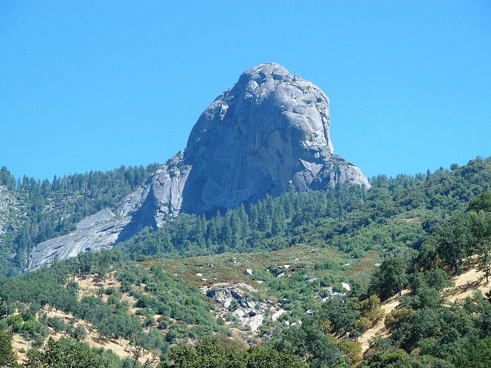 36 mi MountainMoro Rock
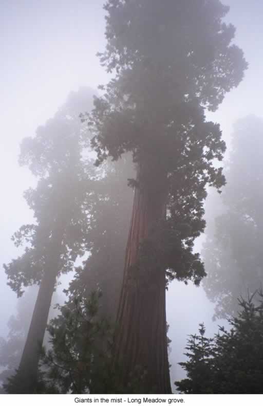 51 mi National forestSequoia National Forest
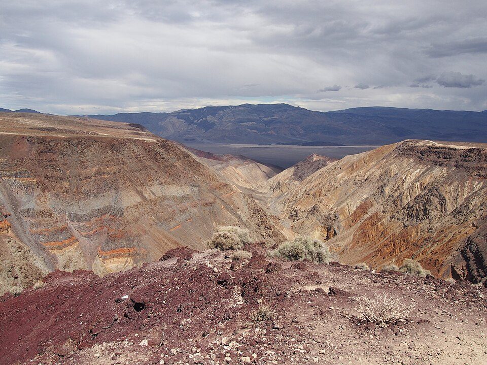 43 mi Canyon & gorgeRainbow Canyon
Photo credits
Mount Whitney: Geographer (talk · contribs), CC BY 1.0 · Sequoia National Park: Alberto Carrasco Casado, CC BY 2.0 · Kings Canyon National Park: NileGuide.com (Josh Steinitz), CC BY 2.0 · Owens Lake: Picture prepared for Wikipedia by Adrian Pingstone in November 2003., Public domain · Mount Whitney Trail: Sanjoy Ghosh, CC BY 2.0 · Moro Rock: DiverDave, CC BY-SA 3.0 · Sequoia National Forest: US Forest Service, Public domain · Rainbow Canyon: Agnieszka Kwiecień, Nova, CC BY-SA 4.0


95,764 people came in 2025
The chart runs from 2016 to 2025.
Planning a visit to Manzanar
What town is Manzanar National Historic Site near?
Independence, CA, about 8 miles northwest.
When is the best time to visit Manzanar National Historic Site?
April, May and October, with highs of 73–82°. May is the busiest month (about 12,392 visitors).
How many people visit Manzanar National Historic Site each year?
95,764 in 2025, according to the National Park Service. The record is 117,113, set in 2021.
How far is Manzanar National Historic Site from Fresno?
About 91 miles west of Fresno, as the crow flies.
What is the closest airport to Manzanar National Historic Site?
Eastern Sierra Regional (BIH), about 46 miles away. The nearest big hub is Fresno Yosemite (FAT), about 87 miles.
Where should I stay near Manzanar National Historic Site?
Lone Pine (11 mi, 17 places to stay), Independence (8 mi, 8 places to stay) and Big Pine (31 mi, 6 places to stay).
Notes from people in Independence
Ask a question, or answer one, in Independence’s Town Square.
Sources: National Park Service · ski areas © OpenSkiMap / OpenStreetMap contributors · Wikidata · Wikipedia readership · National Park Service visitor use statistics · NOAA climate normals · U.S. Census.