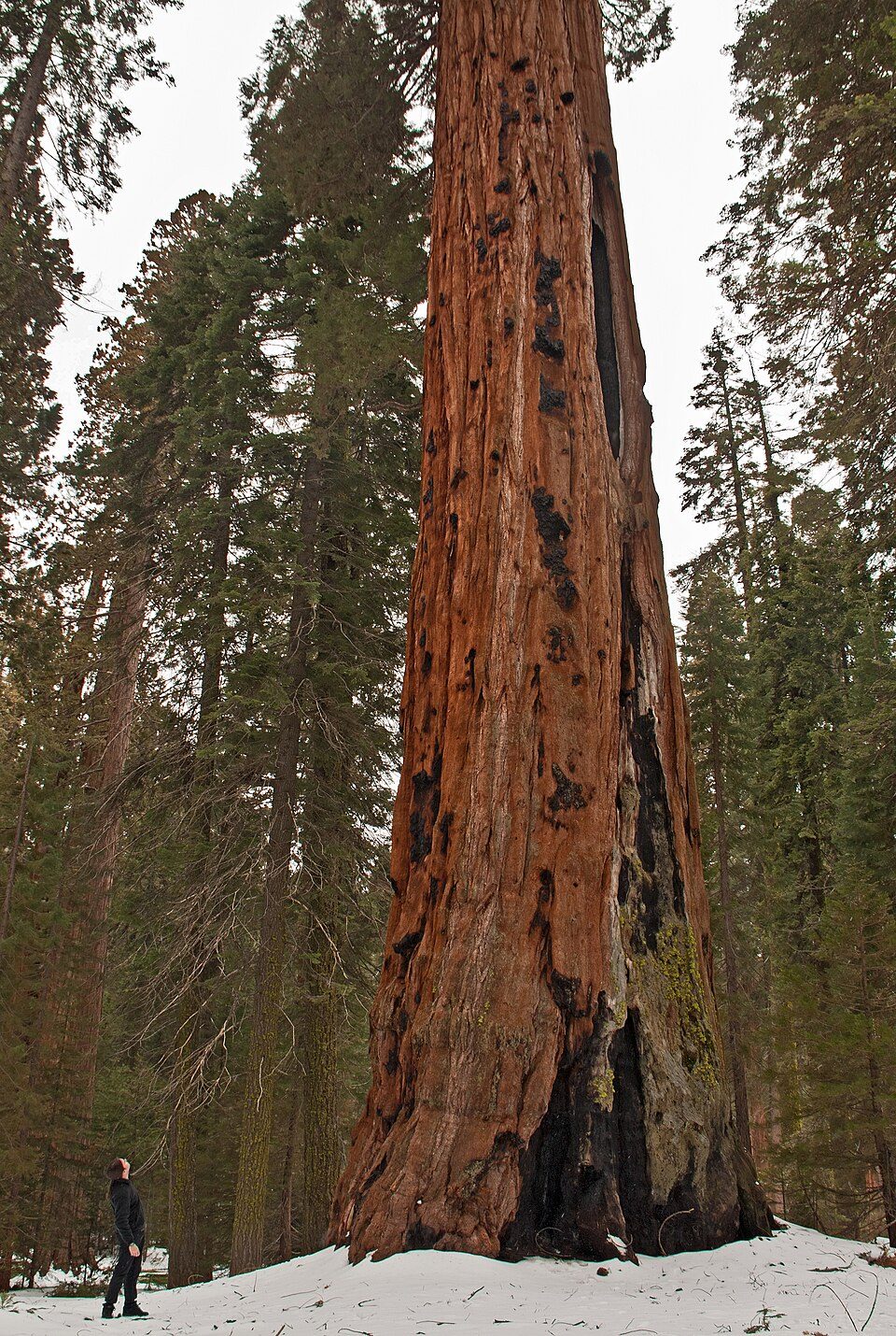
Sequoia National Park
Sequoia National Park is a national park of the United States in the southern Sierra Nevada east of Visalia, California.

A national park, 10 mi northwest of Silver City
Visits hit a record in 2025
The National Park Service counted 1,378,337 visitors in 2025, the most in 10 years of counts. Visitors ↓
One of the most looked-up attractions in the U.S.
About 170K people a year read its Wikipedia article, more than for 98% of the 7,799 attractions we track.
You can sleep inside the park
11 places to stay are inside the park: Wuksachi Lodge and Silver City Mountain Resort. The nearest town with more is Three Rivers. Where to stay ↓
Silver City is inside the park
Silver City sits inside the park’s boundary. Where to stay ↓
Winters are cold
January nights drop to 20°, with about 220" of snow a year. When to go ↓
Written from National Park Service visitor counts, NOAA 1991–2020 normals, Overture places to stay, Census town figures, Wikidata and Wikipedia. Updated when the Park Service posts a new month.
Crowds and weather, month by month
Bars: average monthly visitors, 2022–2025. Line: the typical afternoon high. Green months are mild and quieter than average.
Sequoia National Park
Sequoia National Park is a national park of the United States in the southern Sierra Nevada east of Visalia, California. The park was established on September 25, 1890, and today protects 404,064 acres (631 sq mi; 163,519 ha; 1,635 km2) of forested mountainous terrain. Encompassing a vertical relief of nearly 13,000 feet (4,000 m), the park contains the highest point in the contiguous United States, Mount Whitney, at 14,505 feet (4,421 m) above sea level. The park is south of, and contiguous with, Kings Canyon National Park; both parks are administered by the National Park Service together as Sequoia and Kings Canyon National Parks. UNESCO designated the areas as Sequoia-Kings Canyon Biosphere Reserve in 1976.
- Type
- National Park
- Established
- 1890
- Area
- 631 square miles
- Elevation
- 10,627 ft
- Run by
- National Park Service
- Wikipedia readers
- 170K a year
- Official site
- nps.gov/sequ
Where to stay near Sequoia National Park
You can sleep inside the park (11 places). The closest towns with hotels, motels or campgrounds are Three Rivers (26) and Wilsonia (6).
- 1Mount Whitney
- 2Kings Canyon
- 3Moro Rock
- 4Manzanar
- 5Owens Lake
- 6Sequoia National Forest
- 7Mount Whitney Trail
Stay in the park
- Wuksachi Lodge lodge or cabins
- Silver City Mountain Resort lodge or cabins
- Sequoia Building hotel
- Potwisha Campground campground
- Buckeye Flat Campground campground
- Lodgepole Campground campground
Three Rivers
The closest town with somewhere to stay.
2,282 people
11 mi southwest of Sequoia · 3 mi to the park
Compare 8 towns
| Town | From Sequoia | Drive | Places to stay | People | Typical home | Safety |
|---|---|---|---|---|---|---|
| Three Rivers | 11 mi southwest | 15 min | 26 6 hotels · 2 motels · 3 inns & B&Bs · 10 lodges & cabins · 4 campgrounds · 1 RV park | 2,282 | $491K | — |
| Wilsonia 88% vacation homes | 16 mi northwest | 25 min | 6 1 hotel · 2 lodges & cabins · 3 campgrounds | 31 | — | — |
| Hartland | 12 mi northwest | 20 min | 3 2 campgrounds · 1 RV park | — | — | — |
| Silver City 100% vacation homes | inside the park | 15 min | 2 1 lodge or cabins · 1 campground | — | — | — |
| Visalia | 35 mi southwest | 50 min | 23 16 hotels · 4 motels · 2 inns & B&Bs · 1 campground | 146,541 | $372K | C− |
| Lemon Cove | 19 mi southwest | 30 min | 4 2 hotels · 1 inn or B&B · 1 campground | 484 | $274K | — |
| Lone Pine | 38 mi east | 1 hr | 17 3 hotels · 7 motels · 6 campgrounds · 1 RV park | 1,439 | $217K | — |
| Tulare | 40 mi southwest | 1 hr | 19 11 hotels · 6 motels · 1 lodge or cabins · 1 RV park | 73,907 | $330K | C− |
Getting there
Nearest airports with airline service
Also near Sequoia
Other well-known places within 65 miles. Numbered ones are on the map above.
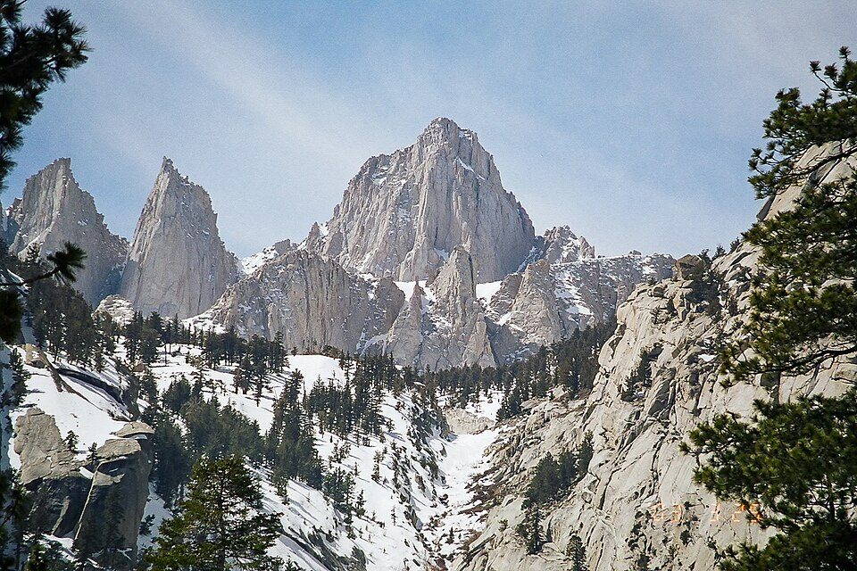 Big draw127 mi MountainMount Whitney
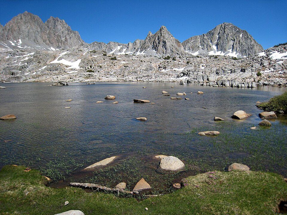 216 mi National ParkKings Canyon National Park780K visitors a year
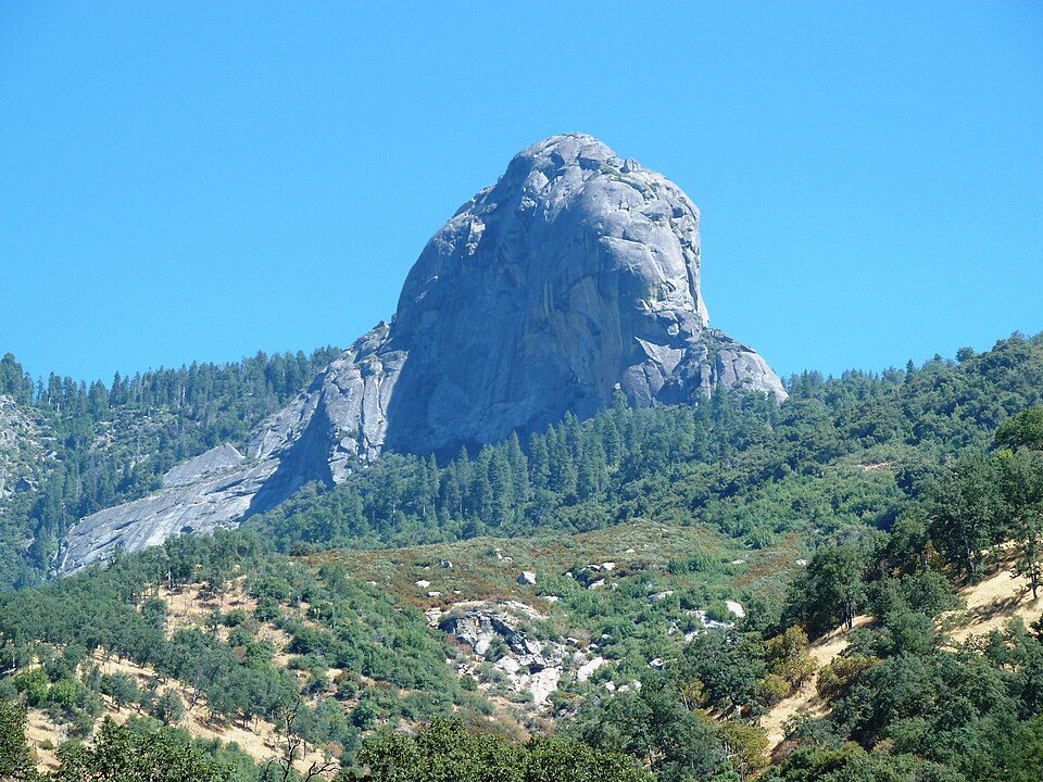 3in town MountainMoro Rock
 436 mi National Historic SiteManzanar National Historic Site96K visitors a year
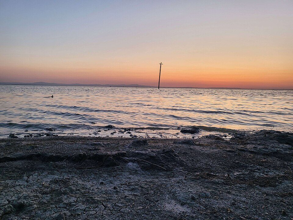 64 mi LakeTulare Lake
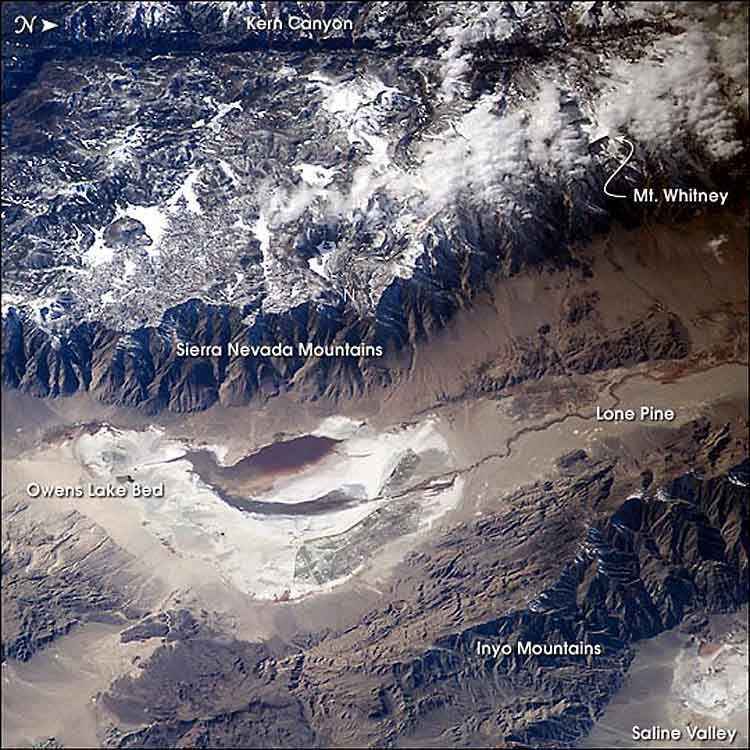 547 mi LakeOwens Lake
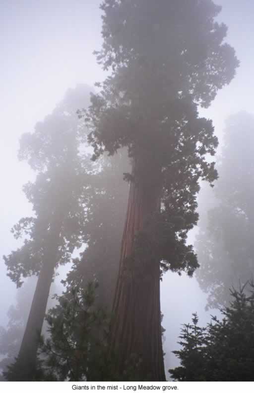 639 mi National forestSequoia National Forest
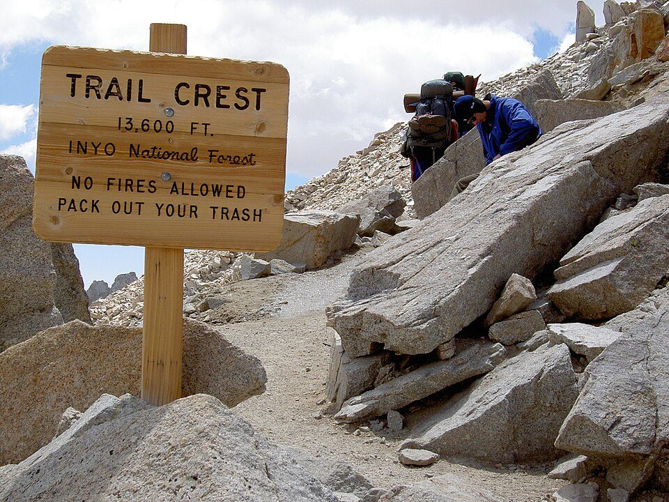 728 mi Park & preserveMount Whitney Trail
Photo credits
Mount Whitney: Geographer (talk · contribs), CC BY 1.0 · Kings Canyon National Park: NileGuide.com (Josh Steinitz), CC BY 2.0 · Moro Rock: DiverDave, CC BY-SA 3.0 · Manzanar National Historic Site: Dorothea Lange, Public domain · Tulare Lake: Trace Fleeman Garcia, CC0 · Owens Lake: Picture prepared for Wikipedia by Adrian Pingstone in November 2003., Public domain · Sequoia National Forest: US Forest Service, Public domain · Mount Whitney Trail: Sanjoy Ghosh, CC BY 2.0


A record 1,378,337 visitors in 2025
Every full year the Park Service has counted. 2020 (gold) was the pandemic year. Green is the record.
Visiting Sequoia
What town is Sequoia National Park near?
Silver City, CA, about 10 miles southeast.
When is the best time to visit Sequoia National Park?
June, July, August and September, with highs of 66–73°. July is the busiest month (about 197,045 visitors).
How many people visit Sequoia National Park each year?
1,378,337 in 2025, according to the National Park Service.
How far is Sequoia National Park from Fresno and Bakersfield?
About 59 miles west of Fresno and about 85 miles south of Bakersfield, as the crow flies.
What is the closest airport to Sequoia National Park?
Fresno Yosemite (FAT), about 54 miles away.
Where should I stay near Sequoia National Park?
Inside the park: Wuksachi Lodge, Silver City Mountain Resort and Sequoia Building. Nearby: Three Rivers (11 mi, 26 places to stay), Wilsonia (16 mi, 6 places to stay) and Hartland (12 mi, 3 places to stay).
Tips from people in Silver City
No tips yet. Ask, or answer, in Silver City’s Town Square.
Sources: National Park Service · ski areas © OpenSkiMap / OpenStreetMap contributors · Wikidata · Wikipedia readership · National Park Service visitor use statistics · NOAA climate normals · U.S. Census.