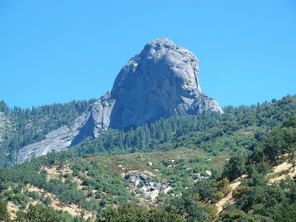
Moro Rock
Moro Rock is a granite dome rock formation in Sequoia National Park, California, United States.

A mountain, 8 mi northwest of Silver City
Winters are cold
January nights drop to 20°, with about 220" of snow a year. When to go ↓
Three Rivers is the nearest base
Three Rivers is 10 miles southwest, with 26 places to stay. Where to stay ↓
A day trip from Fresno
Fresno is about 59 miles west (straight-line). Where to stay ↓
Best months: Jun, Jul, Aug and Sep
June, July, August and September are the mild months, with highs of 66–73°. When to go ↓
Written from NOAA 1991–2020 normals, Overture places to stay, Census town figures, Wikidata and Wikipedia.
Weather, month by month
Typical highs and lows in Silver City. Green months are the mild ones.
Moro Rock
Moro Rock is a granite dome rock formation in Sequoia National Park, California, United States. It is located in the center of the park, at the head of Moro Creek, between Giant Forest and Crescent Meadow. A stairway, designed by the National Park Service and built in 1931, is cut into and poured onto the rock, so that visitors can hike to the top. The view from the rock encompasses much of the Park, including the Great Western Divide. Use of this trail is discouraged during thunderstorms and when it is snowing.
The name "Moro Rock" derives from a blue roan mustang of color the Mexicans call moro, owned by one Mr Swanson of Three Rivers in the 1860s.
- Type
- Mountain
- Elevation
- 6,725 ft
- Wikipedia readers
- 22K a year
Where to stay near Moro Rock
The closest towns with hotels, motels or campgrounds are Three Rivers (26) and Wilsonia (6).
Three Rivers
The closest town with somewhere to stay.
2,282 people
10 mi southwest of Moro Rock
Compare 8 towns
| Town | From Moro Rock | Drive | Places to stay | People | Typical home | Safety |
|---|---|---|---|---|---|---|
| Three Rivers | 10 mi southwest | 15 min | 26 6 hotels · 2 motels · 3 inns & B&Bs · 10 lodges & cabins · 4 campgrounds · 1 RV park | 2,282 | $491K | — |
| Wilsonia 88% vacation homes | 17 mi northwest | 25 min | 6 1 hotel · 2 lodges & cabins · 3 campgrounds | 31 | — | — |
| Silver City 100% vacation homes | 8 mi southeast | 15 min | 2 1 lodge or cabins · 1 campground | — | — | — |
| Hartland | 13 mi northwest | 20 min | 3 2 campgrounds · 1 RV park | — | — | — |
| Lemon Cove | 19 mi southwest | 30 min | 4 2 hotels · 1 inn or B&B · 1 campground | 484 | $274K | — |
| Squaw Valley | 27 mi northwest | 40 min | 4 1 hotel · 1 motel · 1 inn or B&B · 1 campground | 3,361 | $272K | — |
| Lindsay | 30 mi southwest | 45 min | 3 3 hotels | 12,578 | $286K | C− |
| Exeter | 27 mi southwest | 40 min | 2 1 hotel · 1 motel | 10,122 | $308K | C− |
Getting there
Nearest airports with airline service
Also near Moro Rock
Other well-known places within 65 miles. Numbered ones are on the map above.
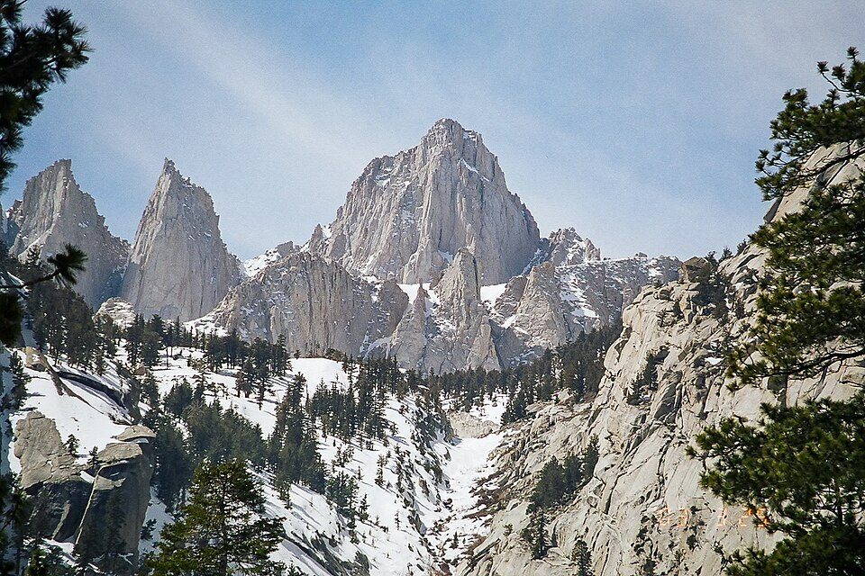 Big draw126 mi MountainMount Whitney
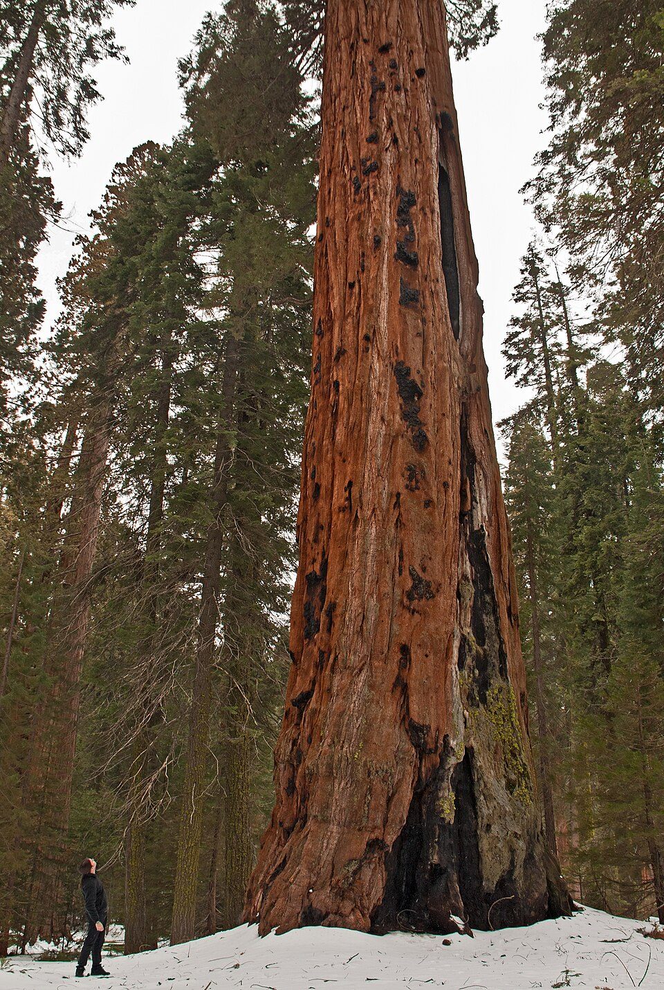 Big draw2in town National ParkSequoia National Park1.4M visitors a year
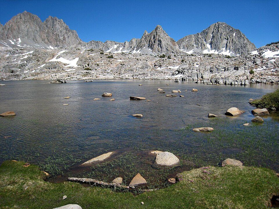 318 mi National ParkKings Canyon National Park780K visitors a year
 36 mi National Historic SiteManzanar National Historic Site96K visitors a year
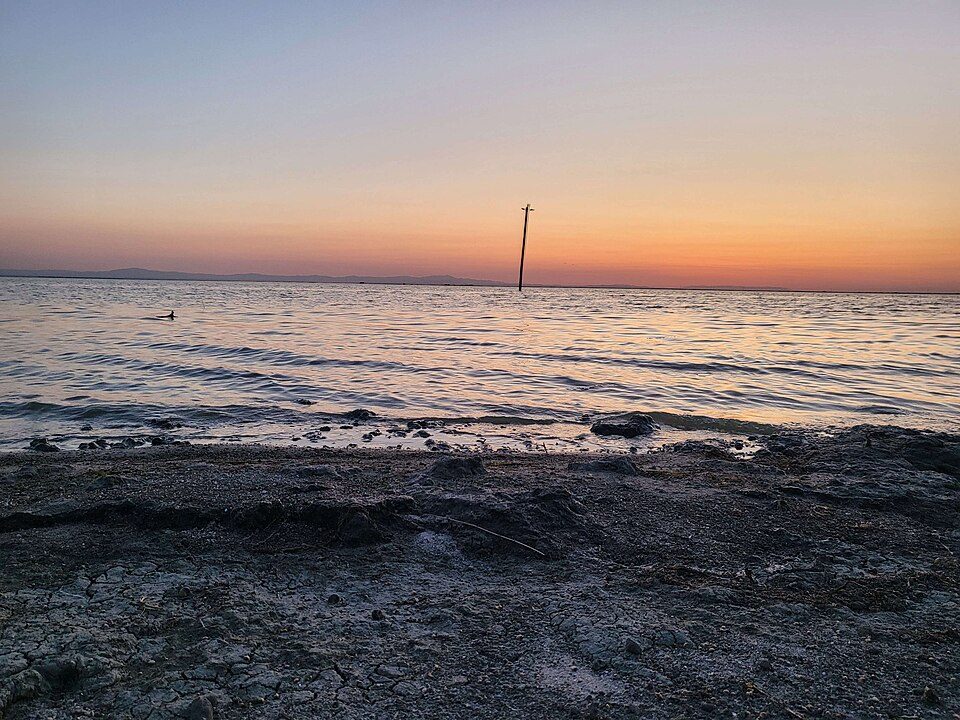 64 mi LakeTulare Lake
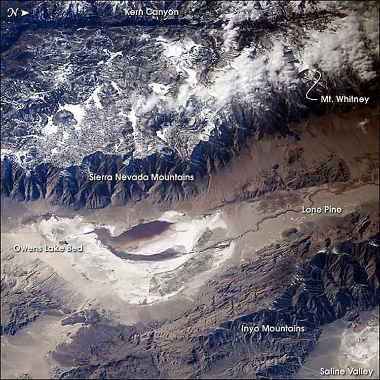 46 mi LakeOwens Lake
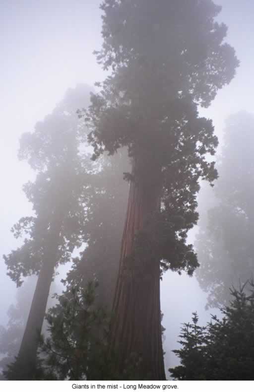 38 mi National forestSequoia National Forest
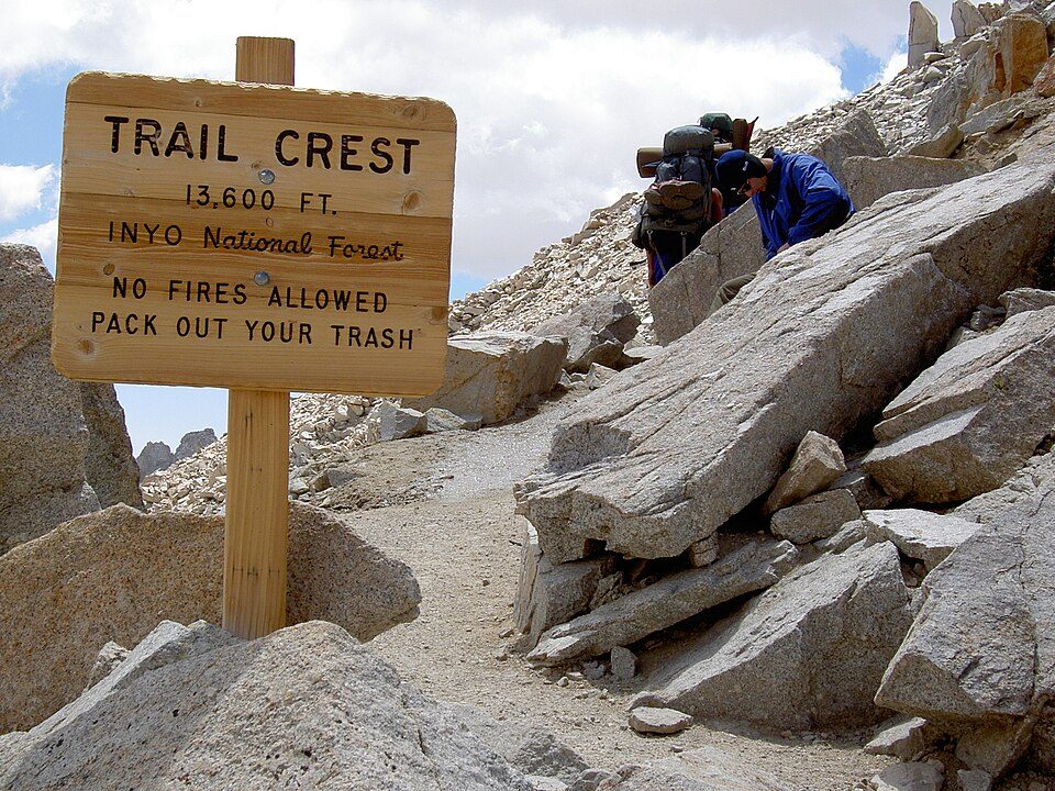 428 mi Park & preserveMount Whitney Trail
Photo credits
Mount Whitney: Geographer (talk · contribs), CC BY 1.0 · Sequoia National Park: Alberto Carrasco Casado, CC BY 2.0 · Kings Canyon National Park: NileGuide.com (Josh Steinitz), CC BY 2.0 · Manzanar National Historic Site: Dorothea Lange, Public domain · Tulare Lake: Trace Fleeman Garcia, CC0 · Owens Lake: Picture prepared for Wikipedia by Adrian Pingstone in November 2003., Public domain · Sequoia National Forest: US Forest Service, Public domain · Mount Whitney Trail: Sanjoy Ghosh, CC BY 2.0


Visiting Moro Rock
What town is Moro Rock near?
Silver City, CA, about 8 miles southeast.
When is the best time to visit Moro Rock?
June, July, August and September, with highs of 66–73°.
How far is Moro Rock from Fresno and Bakersfield?
About 59 miles west of Fresno and about 84 miles south of Bakersfield, as the crow flies.
What is the closest airport to Moro Rock?
Fresno Yosemite (FAT), about 55 miles away.
Where should I stay near Moro Rock?
Three Rivers (10 mi, 26 places to stay), Wilsonia (17 mi, 6 places to stay) and Hartland (13 mi, 3 places to stay).
Tips from people in Silver City
No tips yet. Ask, or answer, in Silver City’s Town Square.
Sources: National Park Service · ski areas © OpenSkiMap / OpenStreetMap contributors · Wikidata · Wikipedia readership · NOAA climate normals · U.S. Census.