
Silver CityCA
A town.
Is Silver City a good place to live?
Silver City’s July high is 73°F, below both the California town median (89°F) and the median of U.S. towns (85°F). Among 847 California towns, just 2 have a lower January low than Silver City. 84% of the land in Silver City is conserved, against 4.3% in California’s towns and 4.3% across U.S. towns. The biggest park or preserve is Sequoia National Park, at 74 acres. We don’t grade Silver City yet; the figures below are still real.
Mount Whitney and 12 more within 40 miles
Museums, parks, gardens and other places to visit around Silver City. Close and well known come first.
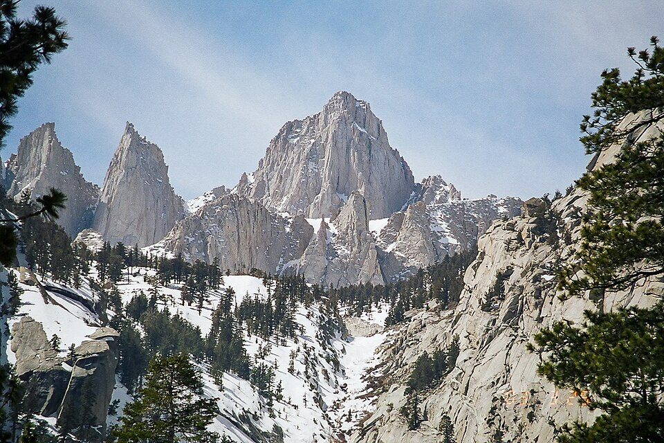 Big draw21 mi MountainMount Whitney
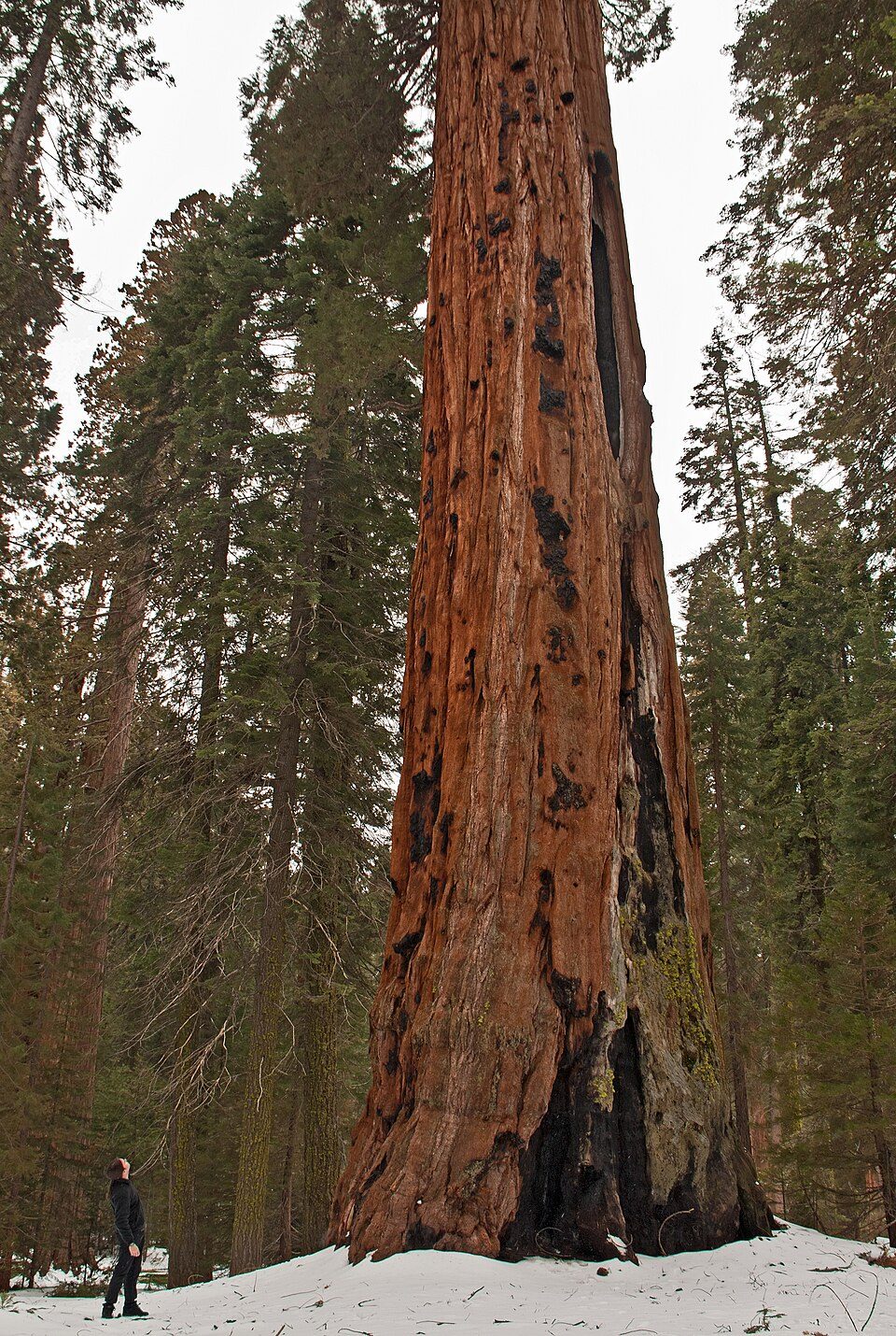 Big drawin town National ParkSequoia National Park1.4M visitors a year
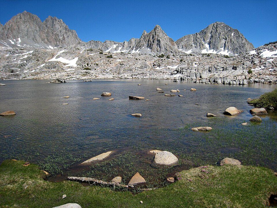 10 mi National ParkKings Canyon National Park780K visitors a year
 32 mi National Historic SiteManzanar National Historic Site96K visitors a year
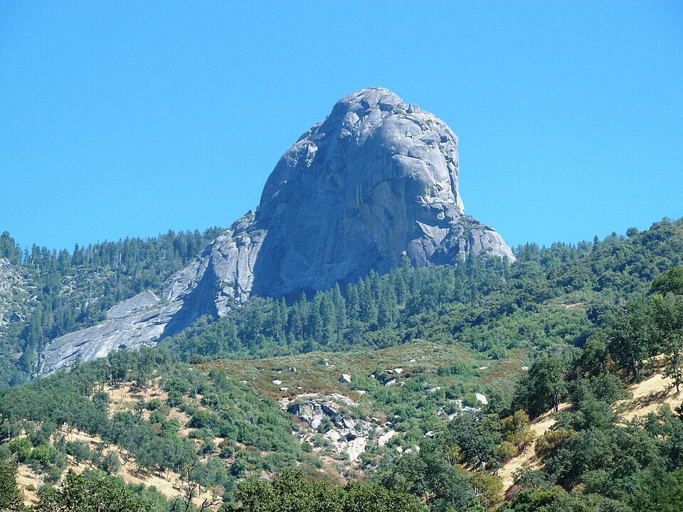 8 mi MountainMoro Rock
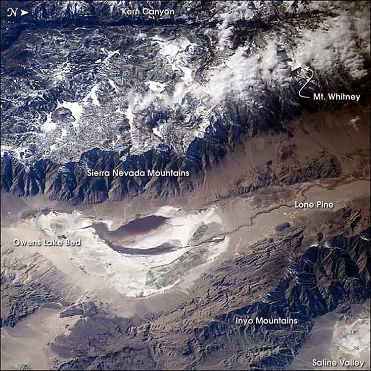 39 mi LakeOwens Lake
Photo credits
Mount Whitney: Geographer (talk · contribs), CC BY 1.0 · Sequoia National Park: Alberto Carrasco Casado, CC BY 2.0 · Kings Canyon National Park: NileGuide.com (Josh Steinitz), CC BY 2.0 · Manzanar National Historic Site: Dorothea Lange, Public domain · Moro Rock: DiverDave, CC BY-SA 3.0 · Owens Lake: Picture prepared for Wikipedia by Adrian Pingstone in November 2003., Public domain


Moving to Silver City: who provides what
Silver City is unincorporated, so Tulare County and regional agencies provide most services.
EPA SDWIS (Oct 9, 2026) · HIFLD + EIA-861 2025 · Census 2020 ZCTAs · NCES 2024–25 · registration: vote.gov, updated Nov 18, 2024.
The data
Ordered by what stands out in Silver City.
Silver City has set aside nearly a third of its land for conservation
0.3 miles of trail in 1 park or preserve. The trail density in Silver City is 3.0 miles per square mile.
| Biggest places to walk | Trails | Acres |
|---|---|---|
| 1. Sequoia National Park | 0.3 mi | 74 |
Trails & parks © OpenStreetMap contributors · Conserved land: USGS PAD-US
Very high risk in Silver City, with inland flooding at the top
Expected storm and flood damage is higher than in 98% of U.S. communities.
FEMA National Risk Index · OpenFEMA
Silver City has snowy winters and pleasant summers
Silver City has chilly, snowy winters and cool summers, with plenty of rain. July afternoons reach 73°, January nights drop to 20° and about 220 inches of snow falls in a winter.
Typical low → high °F
NOAA U.S. Climate Normals, 1991–2020
Everything we know about Silver City
Colleges nearby
None within 15 miles of Silver City; the nearest are
About Silver City
Unincorporated in California, United States
Silver City is a census-designated place (CDP) in the mountainous area of central Tulare County, California. Silver City sits at an elevation of 6,732 feet (2,052 m). It lies 72 km ENE of Visalia, California, within the boundary of Sequoia National Park. The 2010 and 2020 United States censuses reported that Silver City was uninhabited. Silver City is the name of an inholding in Sequoia National Park located at Mile 21 on the 25-mile road to Mineral King. It consists of 58 fee-simple lots, 39 of which have cabins on them, plus a commercial area consisting of a store, restaurant and several rental cabins called the Silver City Mountain Resort. It is classified as a transient non-community be…
From Wikipedia, licensed CC BY-SA 4.0 · facts via Wikidata (CC0)
- Area
- 0.6 sq mi
- Elevation
- 6,732 ft
Questions about Silver City
Short answers, built from the data on this page.
Is Silver City, CA a good place to live?
We don’t grade Silver City yet; the figures below are still real. A town.