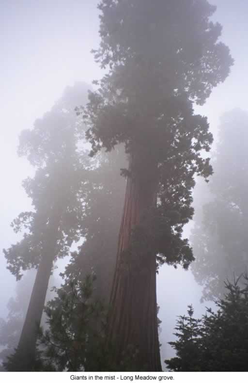
Sequoia National Forest
Sequoia National Forest is a U.S. national forest located in the southern Sierra Nevada mountains of California. It is 5 mi south of Ponderosa. Its operator is the United States Forest Service.

A national forest, 5 mi south of Ponderosa
Plan where you’ll sleep
The nearest town with many places to stay is Kernville, 20 miles south. Where to stay ↓
A day trip from Fresno
Fresno is about 88 miles northwest (straight-line). Where to stay ↓
Established in 1908
Sequoia National Forest dates from 1908 and is run by United States Forest Service. About ↓
Best months: Jun, Jul, Aug and Sep
June, July, August and September are the mild months, with highs of 70–78°. When to go ↓
Written from NOAA 1991–2020 normals, Overture places to stay, Census town figures, Wikidata and Wikipedia.
Warm months and cold ones
Pick a month for Sequoia National Forest from the weather below.
Sequoia National Forest
Sequoia National Forest is a U.S. national forest located in the southern Sierra Nevada mountains of California. It is named for the majestic Giant Sequoia (Sequoiadendron giganteum) trees which populate 38 distinct groves within its boundaries.
The Giant Sequoia National Monument is located in the national forest. Other notable features include glacier-carved landscapes and impressive granite monoliths. The Needles are a series of granite spires atop a narrow ridge above the Kern River. Forest Service headquarters are located in Porterville, California. There are local ranger district offices in Dunlap, Kernville, Lake Isabella, and Springville.
- Type
- National forest
- Established
- 1908
- Area
- 1,864 square miles
- Run by
- United States Forest Service
- Wikipedia readers
- 24K a year
Where to sleep near Sequoia National Forest
The nearest towns with places to stay are Kernville (25) and Porterville (11).
Kernville
The closest town with somewhere to stay.
857 people · 34% vacation homes
20 mi south of Sequoia National Forest
Compare 8 towns
| Town | From Sequoia National Forest | Drive | Places to stay | People | Typical home | Safety |
|---|---|---|---|---|---|---|
| Kernville 34% vacation homes | 20 mi south | 30 min | 25 2 hotels · 1 motel · 2 inns & B&Bs · 7 lodges & cabins · 11 campgrounds · 2 RV parks | 857 | $406K | — |
| Ponderosa 93% vacation homes | 5 mi north | 5 min | 2 1 inn or B&B · 1 campground | 36 | — | — |
| Camp Nelson 65% vacation homes | 9 mi northwest | 15 min | 1 1 RV park | 150 | $249K | — |
| Pierpoint 84% vacation homes | 10 mi northwest | 15 min | 1 1 hotel | 34 | — | — |
| Porterville | 30 mi west | 45 min | 11 8 hotels · 1 motel · 1 inn or B&B · 1 lodge or cabins | 63,088 | $286K | C |
| Lake Isabella | 29 mi south | 45 min | 7 1 hotel · 2 lodges & cabins · 3 campgrounds · 1 RV park | 4,059 | $133K | — |
| Springville 25% vacation homes | 19 mi west | 30 min | 2 1 inn or B&B · 1 RV park | 514 | $582K | — |
| California Hot Springs 86% vacation homes | 14 mi southwest | 20 min | 1 1 RV park | 21 | — | — |
Day trip from
Straight-line miles.
Getting there
Nearest airports with airline service
More to see nearby
You can reach each of these within 70 miles.
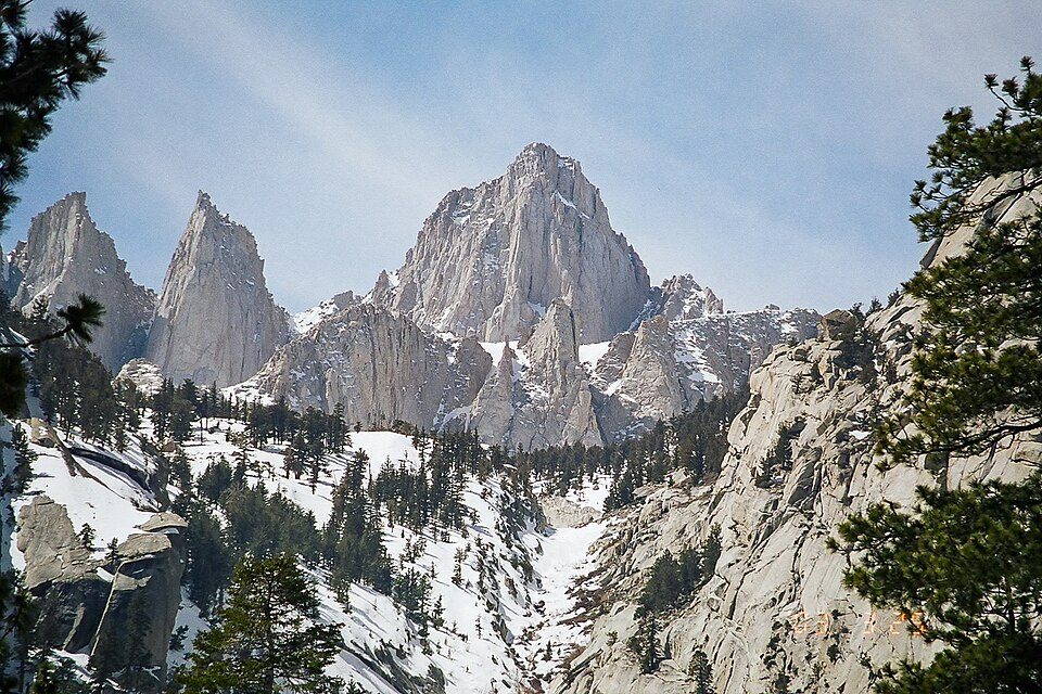 Big draw39 mi MountainMount Whitney
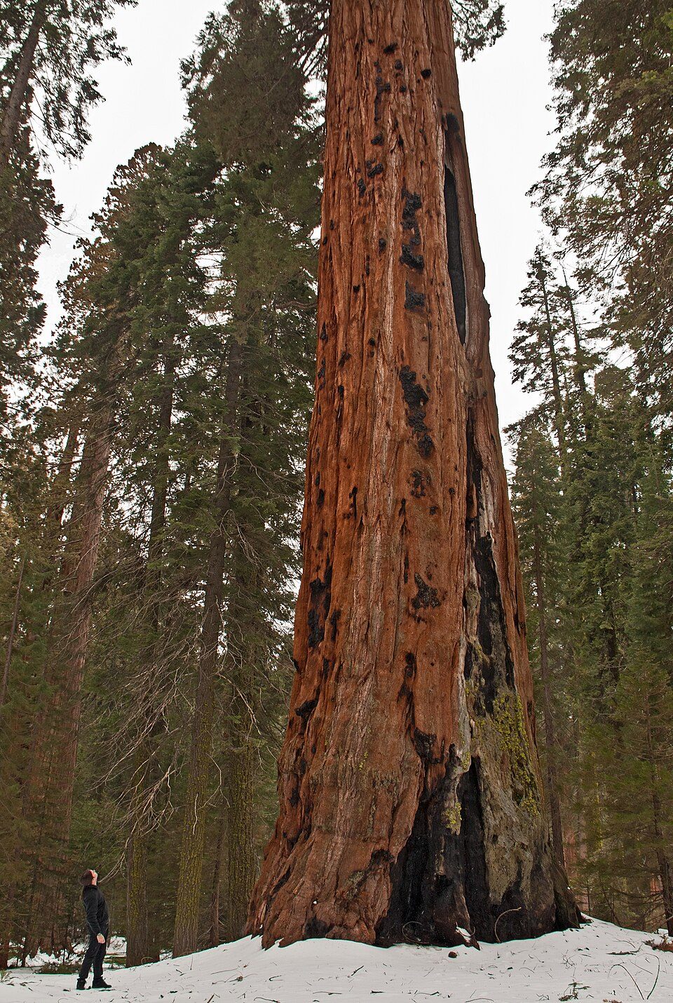 Big draw39 mi National ParkSequoia National Park1.4M visitors a year
 51 mi National Historic SiteManzanar National Historic Site96K visitors a year
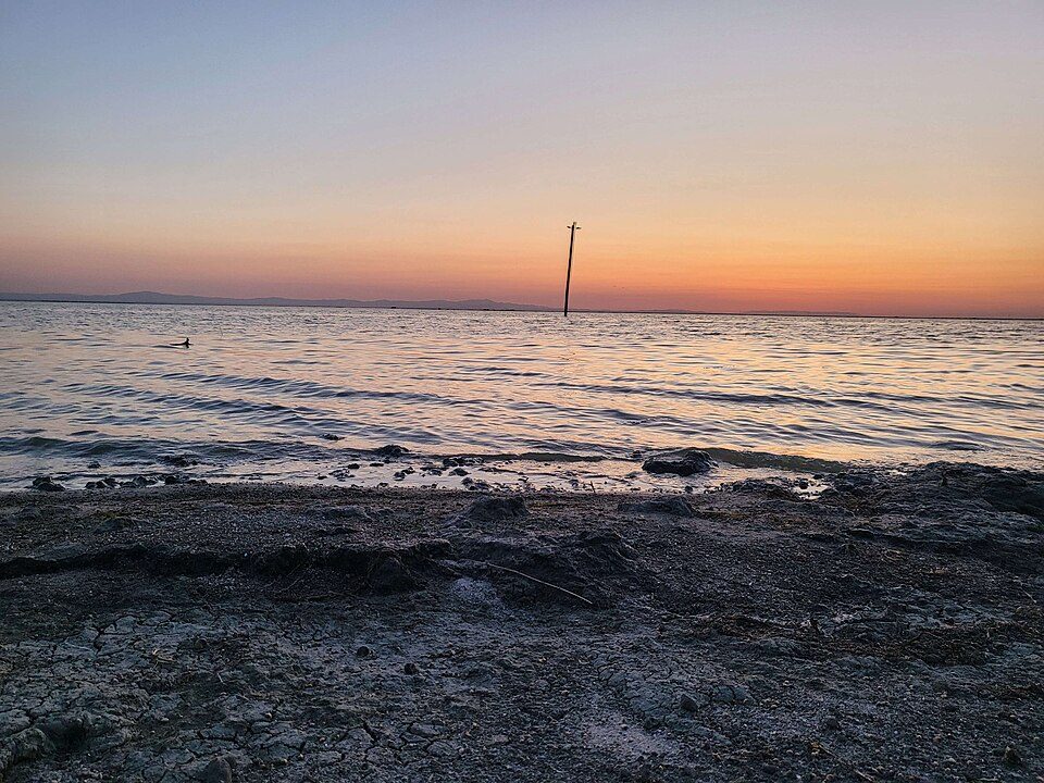 70 mi LakeTulare Lake
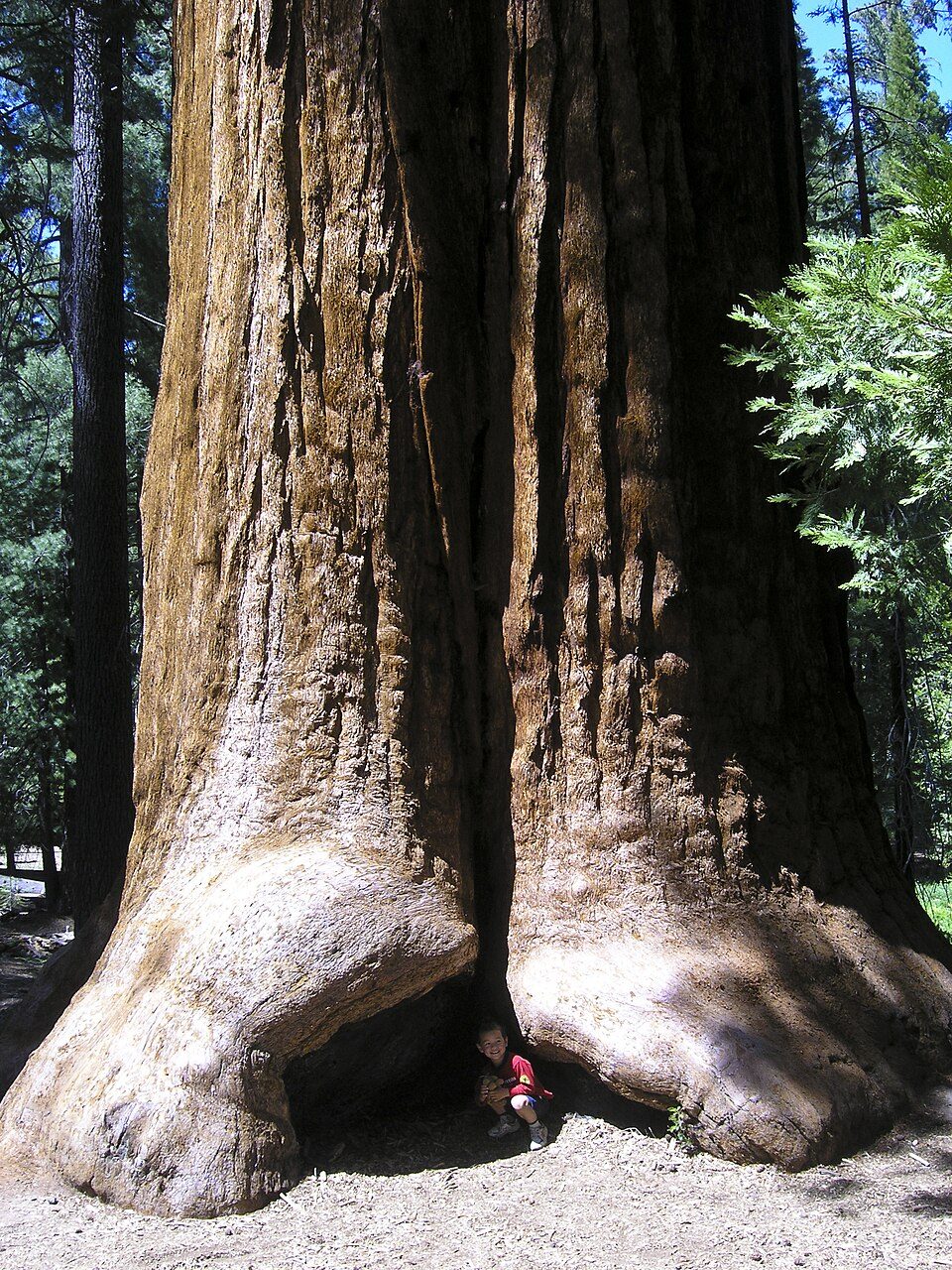 1in town Park & preserveGiant Sequoia National Monument
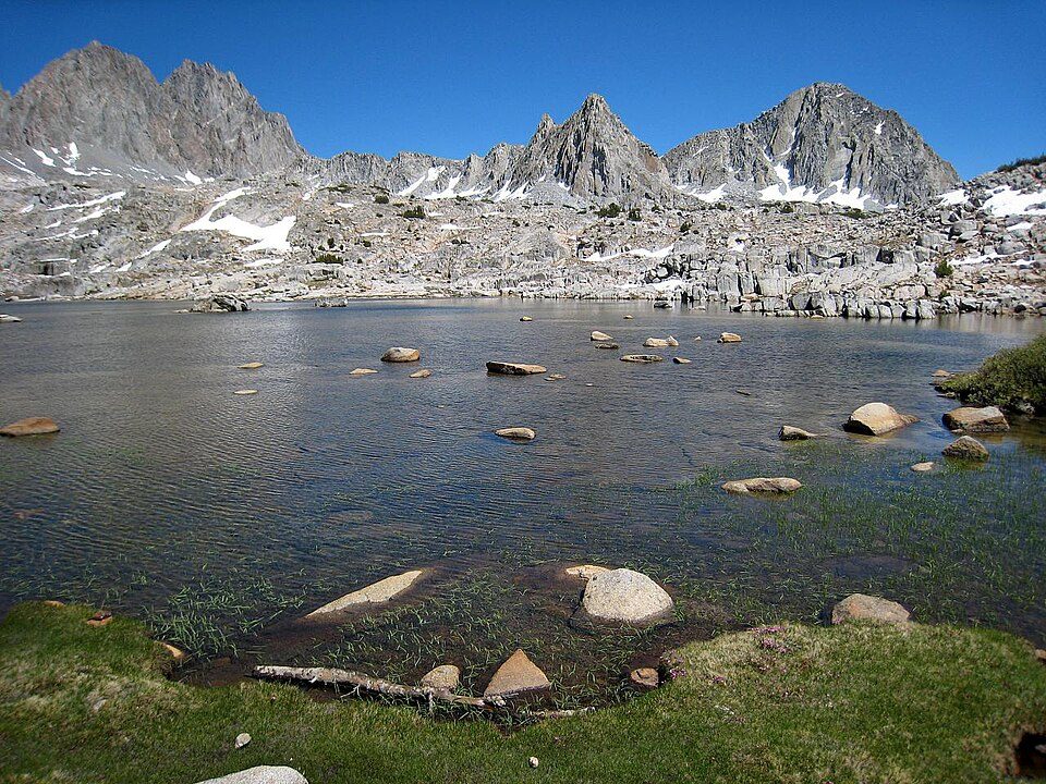 53 mi National ParkKings Canyon National Park780K visitors a year
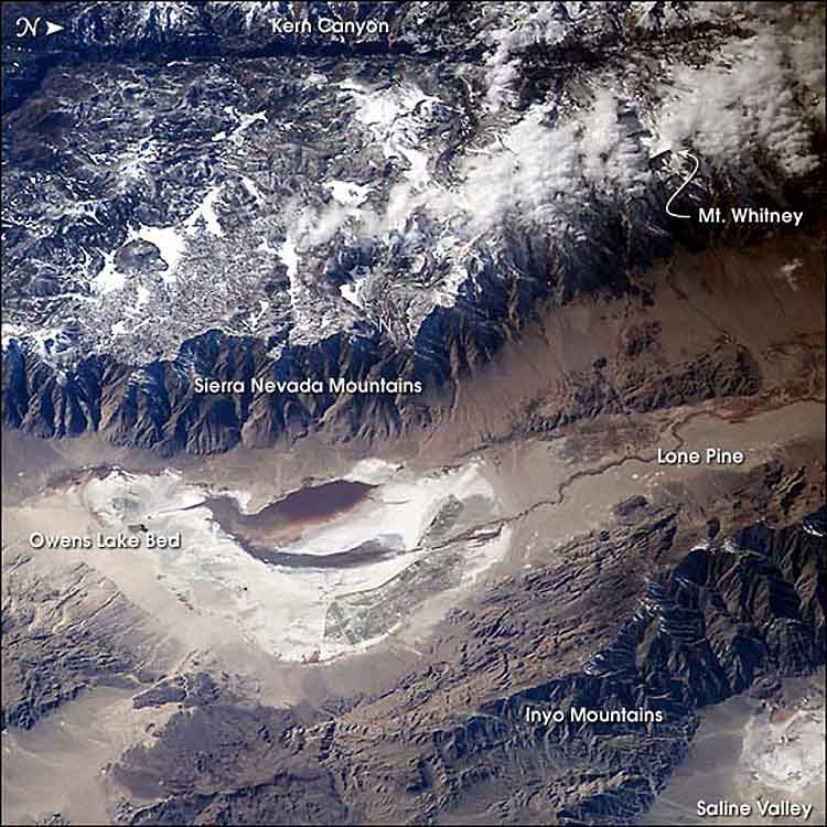 41 mi LakeOwens Lake
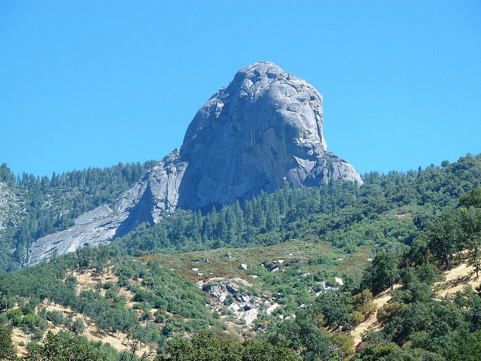 38 mi MountainMoro Rock
Photo credits
Mount Whitney: Geographer (talk · contribs), CC BY 1.0 · Sequoia National Park: Alberto Carrasco Casado, CC BY 2.0 · Manzanar National Historic Site: Dorothea Lange, Public domain · Tulare Lake: Trace Fleeman Garcia, CC0 · Giant Sequoia National Monument: Jason Hickey, CC BY 2.0 · Kings Canyon National Park: NileGuide.com (Josh Steinitz), CC BY 2.0 · Owens Lake: Picture prepared for Wikipedia by Adrian Pingstone in November 2003., Public domain · Moro Rock: DiverDave, CC BY-SA 3.0


Visiting Sequoia National Forest
What town is Sequoia National Forest near?
Ponderosa, CA, about 5 miles north.
When is the best time to visit Sequoia National Forest?
June, July, August and September, with highs of 70–78°.
How far is Sequoia National Forest from Bakersfield and Fresno?
About 56 miles southwest of Bakersfield and about 88 miles northwest of Fresno, as the crow flies.
What is the closest airport to Sequoia National Forest?
Meadows Field (BFL), about 52 miles away. The nearest big hub is Fresno Yosemite (FAT), about 85 miles.
Where should I stay near Sequoia National Forest?
Kernville (20 mi, 25 places to stay), Porterville (30 mi, 11 places to stay) and Lake Isabella (29 mi, 7 places to stay).
Local know-how from Ponderosa
Questions and tips go in Ponderosa’s Town Square.
Sources: National Park Service · ski areas © OpenSkiMap / OpenStreetMap contributors · Wikidata · Wikipedia readership · NOAA climate normals · U.S. Census.