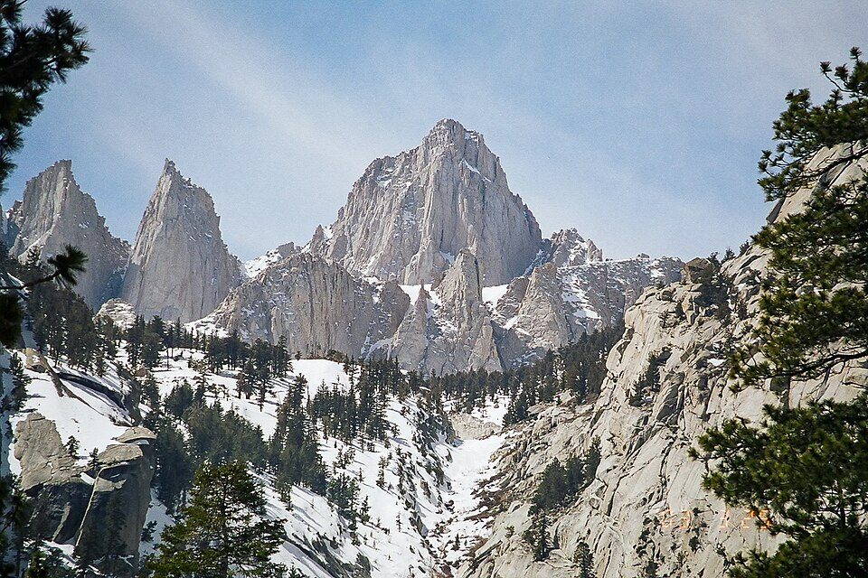
Mount Whitney
Mount Whitney (Paiute: Tumanguya) is a mountain in California's Sierra Nevada range, and is the highest point in the contiguous United States, with an elevation of 14,505 feet (4,421 m).

A mountain, 12 mi west of Lone Pine
One of the most looked-up attractions in the U.S.
About 671K people a year read its Wikipedia article, more than for 99% of the 7,799 attractions we track.
Summers are hot
July and August highs run 98–99°, and about 119 days a year reach 90°. When to go ↓
Lone Pine is the nearest base
Lone Pine is 12 miles east, with 17 places to stay. Where to stay ↓
A day trip from Fresno
Fresno is about 85 miles west (straight-line). Where to stay ↓
Best months: Apr, May and Oct
April, May and October are the mild months, with highs of 73–82°. When to go ↓
Written from NOAA 1991–2020 normals, Overture places to stay, Census town figures, Wikidata and Wikipedia.
Weather, month by month
Typical highs and lows in Lone Pine. Green months are the mild ones.
Mount Whitney
Mount Whitney (Paiute: Tumanguya) is a mountain in California's Sierra Nevada range, and is the highest point in the contiguous United States, with an elevation of 14,505 feet (4,421 m). It is located in East–Central California along the border of Inyo and Tulare counties. The mountain's west slope is in Sequoia National Park and the summit is the southern terminus of the John Muir Trail, which runs 211.9 mi (341.0 km) from Happy Isles in Yosemite Valley. The eastern slopes are in Inyo National Forest in Inyo County. Mount Whitney is ranked 18th by topographic isolation and 81st by prominence on Earth. It is the tallest mountain in the United States outside of Alaska.
- Type
- Mountain
- Elevation
- 14,505 ft
- Wikipedia readers
- 671K a year
Where to stay near Mount Whitney
The closest towns with hotels, motels or campgrounds are Lone Pine (17) and Independence (8).
Lone Pine
The closest town with somewhere to stay.
1,439 people
12 mi east of Mount Whitney
Compare 4 towns
| Town | From Mount Whitney | Drive | Places to stay | People | Typical home |
|---|---|---|---|---|---|
| Lone Pine | 12 mi east | 20 min | 17 3 hotels · 7 motels · 6 campgrounds · 1 RV park | 1,439 | $217K |
| Independence | 18 mi north | 25 min | 8 1 hotel · 4 motels · 3 campgrounds | 730 | $296K |
| Olancha 25% vacation homes | 27 mi southeast | 40 min | 8 4 hotels · 2 motels · 1 campground · 1 RV park | 113 | — |
| Silver City 100% vacation homes | 21 mi west | 30 min | 2 1 lodge or cabins · 1 campground | — | — |
Getting there
Nearest airports with airline service
Also near Mount Whitney
Other well-known places within 40 miles. Numbered ones are on the map above.
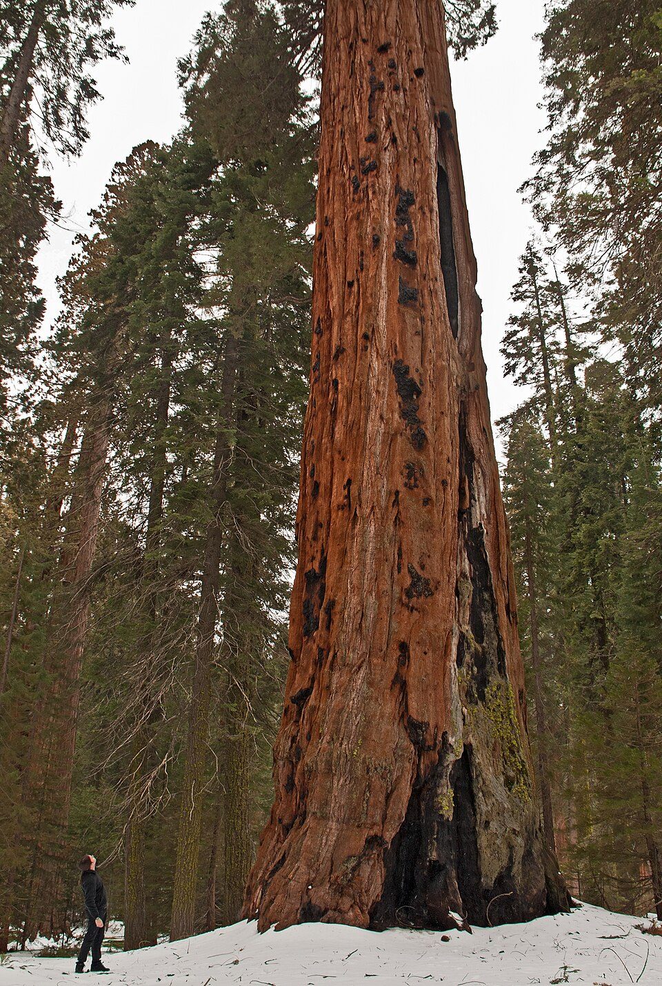 Big draw127 mi National ParkSequoia National Park1.4M visitors a year
 213 mi National Historic SiteManzanar National Historic Site96K visitors a year
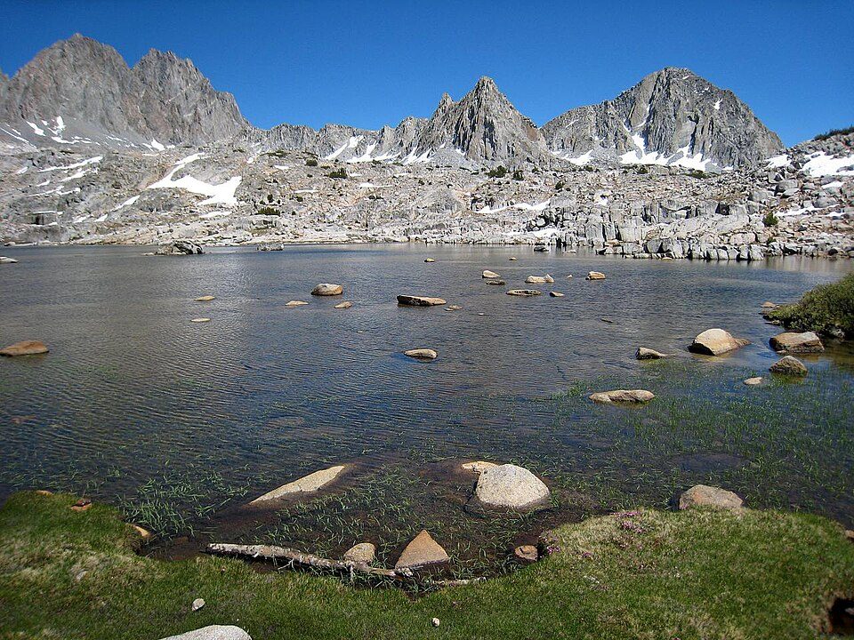 326 mi National ParkKings Canyon National Park780K visitors a year
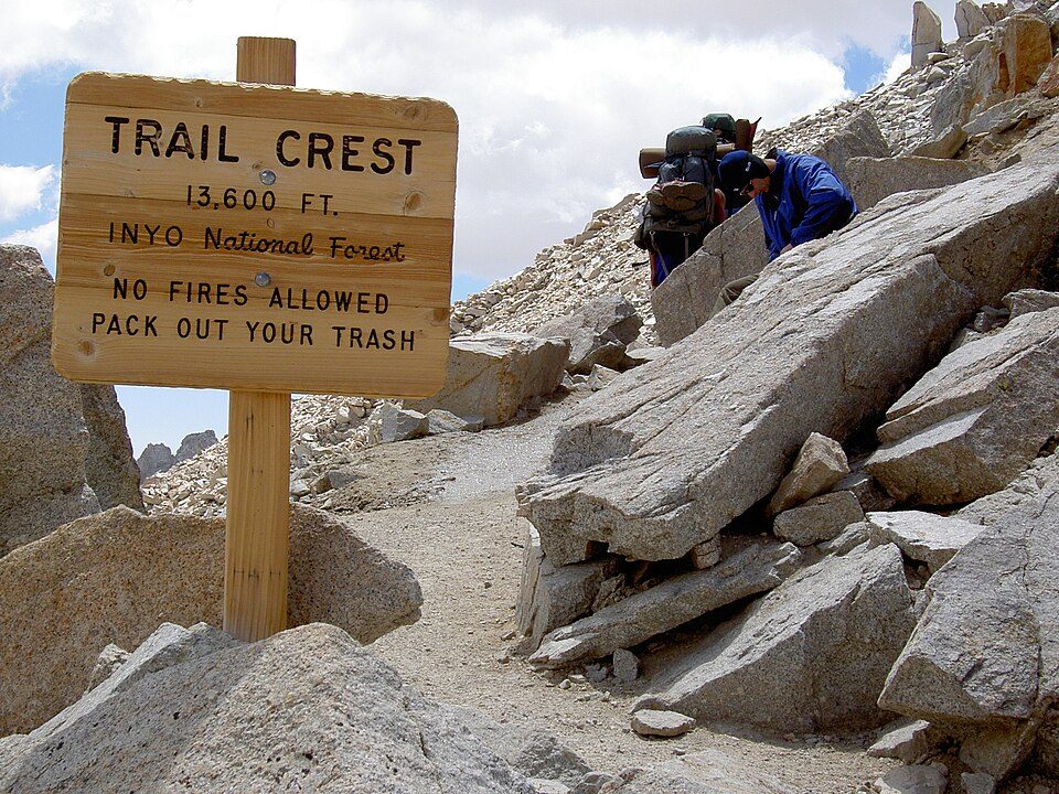 42 mi Park & preserveMount Whitney Trail
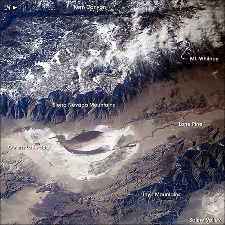 521 mi LakeOwens Lake
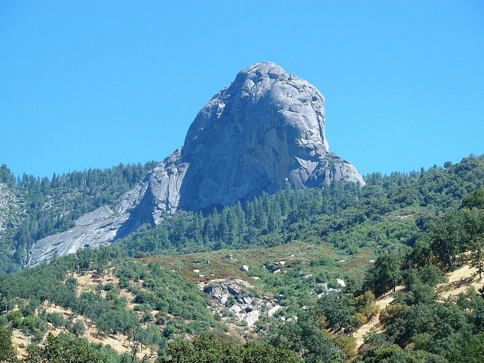 626 mi MountainMoro Rock
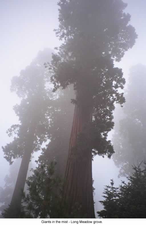 39 mi National forestSequoia National Forest
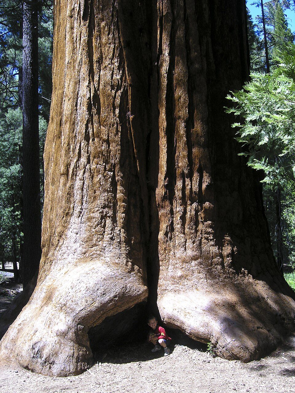 39 mi Park & preserveGiant Sequoia National Monument
Photo credits
Sequoia National Park: Alberto Carrasco Casado, CC BY 2.0 · Manzanar National Historic Site: Dorothea Lange, Public domain · Kings Canyon National Park: NileGuide.com (Josh Steinitz), CC BY 2.0 · Mount Whitney Trail: Sanjoy Ghosh, CC BY 2.0 · Owens Lake: Picture prepared for Wikipedia by Adrian Pingstone in November 2003., Public domain · Moro Rock: DiverDave, CC BY-SA 3.0 · Sequoia National Forest: US Forest Service, Public domain · Giant Sequoia National Monument: Jason Hickey, CC BY 2.0


Visiting Mount Whitney
What town is Mount Whitney near?
Lone Pine, CA, about 12 miles east.
When is the best time to visit Mount Whitney?
April, May and October, with highs of 73–82°.
How far is Mount Whitney from Fresno and Bakersfield?
About 85 miles west of Fresno and about 94 miles southwest of Bakersfield, as the crow flies.
What is the closest airport to Mount Whitney?
Eastern Sierra Regional (BIH), about 55 miles away. The nearest big hub is Fresno Yosemite (FAT), about 80 miles.
Where should I stay near Mount Whitney?
Lone Pine (12 mi, 17 places to stay), Independence (18 mi, 8 places to stay) and Olancha (27 mi, 8 places to stay).
Tips from people in Lone Pine
No tips yet. Ask, or answer, in Lone Pine’s Town Square.
Sources: National Park Service · ski areas © OpenSkiMap / OpenStreetMap contributors · Wikidata · Wikipedia readership · NOAA climate normals · U.S. Census.