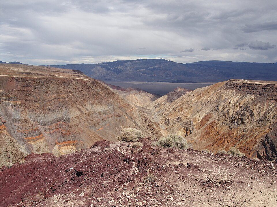
Rainbow Canyon
Rainbow Canyon (nicknamed Star Wars Canyon and Jedi Transition) is a canyon inside Death Valley National Park in Inyo County, California, on the park's western border. It is 28 mi east of Olancha. Add Owens Lake, 24 mi away, to a visit.

A canyon & gorge, 28 mi east of Olancha
Plan where you’ll sleep
The nearest town with many places to stay is Olancha, 28 miles west. Where to stay ↓
Summers are hot
July and August highs run 97–98°. When to go ↓
Best months: Apr, May and Oct
April, May and October are the mild months, with highs of 72–81°. When to go ↓
Written from NOAA 1991–2020 normals, Overture places to stay, Census town figures, Wikidata and Wikipedia.
Warm months and cold ones
A visit to Rainbow Canyon can follow the seasons below.
Rainbow Canyon
Rainbow Canyon (nicknamed Star Wars Canyon and Jedi Transition) is a canyon inside Death Valley National Park in Inyo County, California, on the park's western border. It is about 130 miles (210 km) west of Las Vegas and 160 miles (260 km) north of Los Angeles.
From World War II until 2019, it was commonly used by the U.S. Air Force and U.S. Navy as well as by other military aircraft operators for fighter jet training and was frequented by photographers who, from the canyon rim, were able to photograph jets flying beneath them. The canyon rim can be reached from Father Crowley Overlook off California State Route 190.
- Type
- Canyon & gorge
- Elevation
- 1,640 ft
- Wikipedia readers
- 10K a year
Overnight near Rainbow Canyon
To stay close, try Lone Pine (17) and Olancha (8).
Lone Pine
The closest town with somewhere to stay.
1,439 people
34 mi northwest of Rainbow Canyon
Compare 3 towns
| Town | From Rainbow Canyon | Drive | Places to stay | People | Typical home |
|---|---|---|---|---|---|
| Lone Pine | 34 mi northwest | 50 min | 17 3 hotels · 7 motels · 6 campgrounds · 1 RV park | 1,439 | $217K |
| Olancha 25% vacation homes | 28 mi west | 40 min | 8 4 hotels · 2 motels · 1 campground · 1 RV park | 113 | — |
| Homewood Canyon | 34 mi south | 50 min | 1 1 lodge or cabins | 103 | — |
Getting there
Nearest airports with airline service
What else is near Rainbow Canyon
Every place here is under 69 miles away.
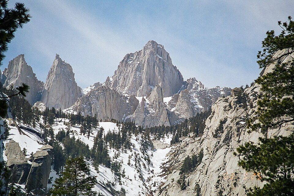 Big draw45 mi MountainMount Whitney
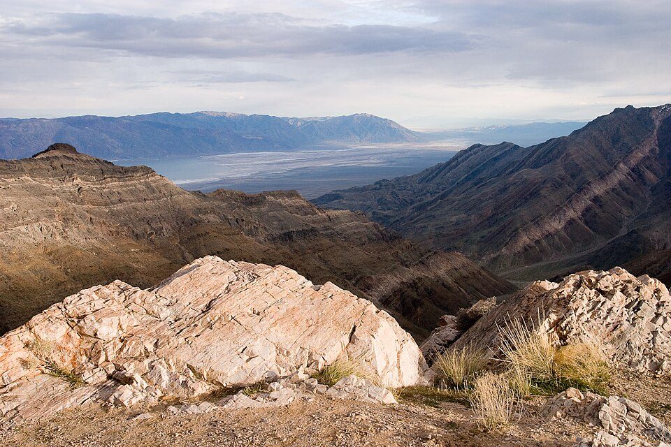 Big draw38 mi National ParkDeath Valley National Park1.3M visitors a year
 43 mi National Historic SiteManzanar National Historic Site96K visitors a year
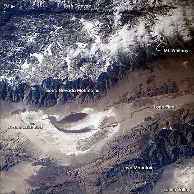 124 mi LakeOwens Lake
 68 mi CaveDevils Hole
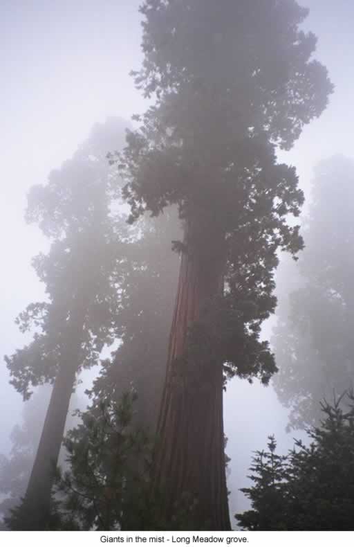 59 mi National forestSequoia National Forest
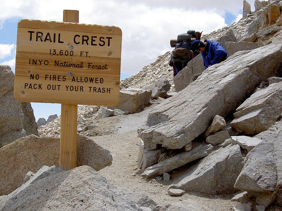 44 mi Park & preserveMount Whitney Trail
 45 mi AttractionDante's View
Photo credits
Mount Whitney: Geographer (talk · contribs), CC BY 1.0 · Death Valley National Park: Greg Willis from Denver, CO, usa, CC BY-SA 2.0 · Manzanar National Historic Site: Dorothea Lange, Public domain · Owens Lake: Picture prepared for Wikipedia by Adrian Pingstone in November 2003., Public domain · Devils Hole: Stan Shebs, CC BY-SA 3.0 · Sequoia National Forest: US Forest Service, Public domain · Mount Whitney Trail: Sanjoy Ghosh, CC BY 2.0 · Dante's View: Roger469, Public domain


Rainbow Canyon: what to know
What town is Rainbow Canyon near?
Olancha, CA, about 28 miles west.
When is the best time to visit Rainbow Canyon?
April, May and October, with highs of 72–81°.
What is the closest airport to Rainbow Canyon?
Eastern Sierra Regional (BIH), about 84 miles away. The nearest big hub is Fresno Yosemite (FAT), about 125 miles.
Where should I stay near Rainbow Canyon?
Lone Pine (34 mi, 17 places to stay) and Olancha (28 mi, 8 places to stay).
Olancha has the answers
People in Olancha have not posted tips yet; their Town Square is open.
Sources: National Park Service · ski areas © OpenSkiMap / OpenStreetMap contributors · Wikidata · Wikipedia readership · NOAA climate normals · U.S. Census.