
Dante's View
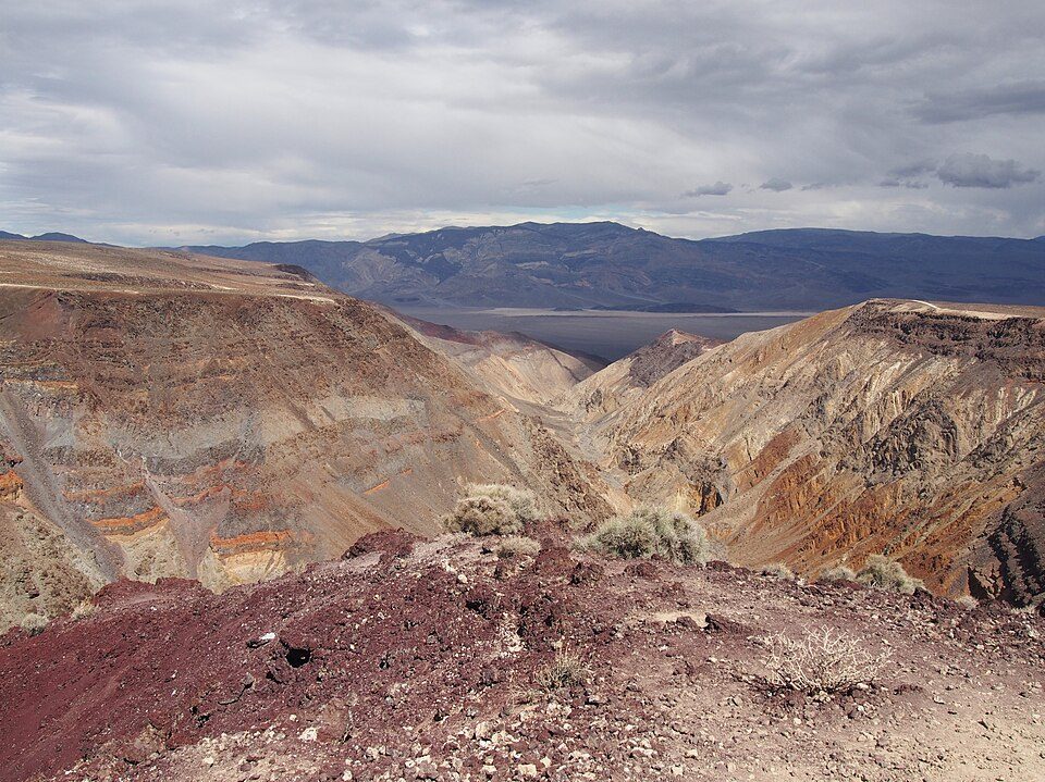
Dante's View is a viewpoint terrace at 1,669 m (5,476 ft) height, on the north side of Coffin Peak, along the crest of the Black Mountains, overlooking Death Valley. It is 17 mi southeast of Furnace Creek. Our list goes on with Death Valley, 17 mi away.

An attraction, 17 mi southeast of Furnace Creek
Summers are hot
July and August highs run 114–116°, and about 197 days a year reach 90°. When to go ↓
Plan where you’ll sleep
The nearest town with many places to stay is Furnace Creek, 17 miles northwest. Where to stay ↓
A day trip from Las Vegas
Las Vegas is about 81 miles east (straight-line). Where to stay ↓
Best months: Jan, Feb, Mar and Nov
January, February, March and November are the mild months, with highs of 67–82°. When to go ↓
Written from NOAA 1991–2020 normals, Overture places to stay, Census town figures, Wikidata and Wikipedia.
Highs and lows by month
Below are typical highs and lows near Dante's View.
Dante's View
Dante's View is a viewpoint terrace at 1,669 m (5,476 ft) height, on the north side of Coffin Peak, along the crest of the Black Mountains, overlooking Death Valley. Dante's View is about 25 km (16 mi) south of Furnace Creek in Death Valley National Park.
- Type
- Attraction
- Elevation
- 5,476 ft
- Wikipedia readers
- 9.9K a year
Rooms near Dante's View
Nearest for a night are Furnace Creek (11).
Furnace Creek
The closest town with somewhere to stay.
73 people
17 mi northwest of Dante's View
Compare 3 towns
| Town | From Dante's View | Drive | Places to stay | People |
|---|---|---|---|---|
| Furnace Creek | 17 mi northwest | 25 min | 11 7 hotels · 4 campgrounds | 73 |
| Shoshone | 30 mi southeast | 45 min | 2 1 hotel · 1 RV park | 18 |
| Amargosa Valley | 26 mi northeast | 40 min | 1 1 hotel | 1,445 |
Day trip from
Straight-line miles.
Getting there
Nearest airports with airline service
After Dante's View
Within 70 miles you can add these well-known places.
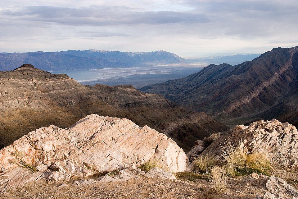 Big draw117 mi National ParkDeath Valley National Park1.3M visitors a year
 228 mi CaveDevils Hole
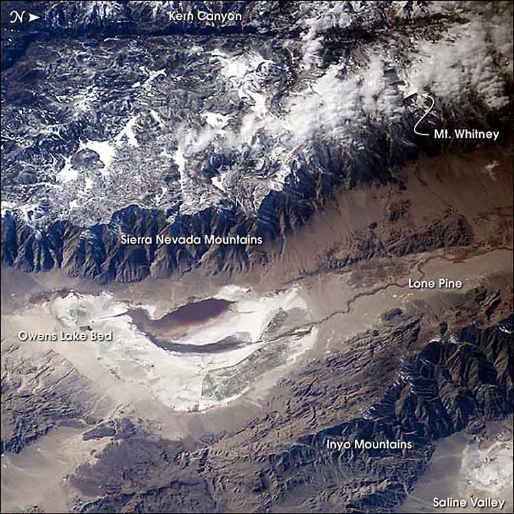 70 mi LakeOwens Lake
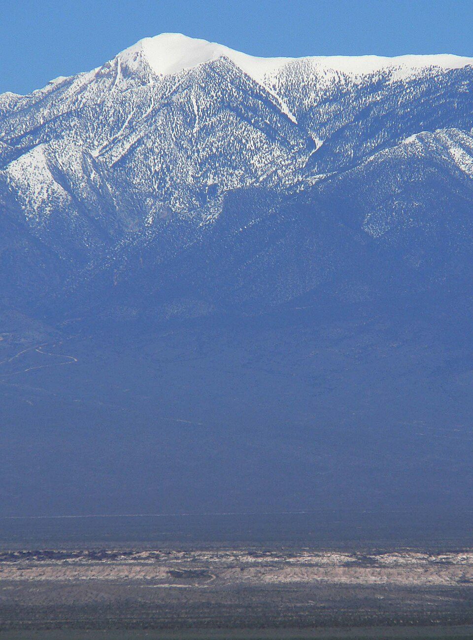 58 mi MountainCharleston Peak
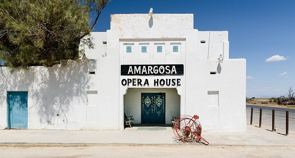 318 mi TheatreAmargosa Opera House and Hotel
 45 mi Canyon & gorgeRainbow Canyon
 55 mi Park & preserveTrona Pinnacles
 47 mi MuseumGoldwell Open Air Museum
Photo credits
Death Valley National Park: Greg Willis from Denver, CO, usa, CC BY-SA 2.0 · Devils Hole: Stan Shebs, CC BY-SA 3.0 · Owens Lake: Picture prepared for Wikipedia by Adrian Pingstone in November 2003., Public domain · Charleston Peak: Stan Shebs, CC BY-SA 3.0 · Amargosa Opera House and Hotel: Tuxyso, CC BY-SA 3.0 · Rainbow Canyon: Agnieszka Kwiecień, Nova, CC BY-SA 4.0 · Trona Pinnacles: Doug Dolde at English Wikipedia, Public domain · Goldwell Open Air Museum: Finetooth, CC BY-SA 3.0


Quick answers on Dante's View
What town is Dante's View near?
Furnace Creek, CA, about 17 miles northwest.
When is the best time to visit Dante's View?
January, February, March and November, with highs of 67–82°.
How far is Dante's View from Las Vegas and Henderson?
About 81 miles east of Las Vegas and about 96 miles east of Henderson, as the crow flies.
What is the closest airport to Dante's View?
Harry Reid (LAS), about 88 miles away.
Where should I stay near Dante's View?
Furnace Creek (17 mi, 11 places to stay).
Furnace Creek has the answers
Share what you know in Furnace Creek’s Town Square.
Sources: National Park Service · ski areas © OpenSkiMap / OpenStreetMap contributors · Wikidata · Wikipedia readership · NOAA climate normals · U.S. Census.