
Trona Pinnacles
The Trona Pinnacles are an unusual geological feature in the California Desert National Conservation Area.

A park & preserve, 11 mi south of Searles Valley
Summers are hot
July and August highs run 103–105°, and about 137 days a year reach 90°. When to go ↓
Plan where you’ll sleep
The nearest town with many places to stay is Ridgecrest, 17 miles west. Where to stay ↓
No airline airport nearby
The closest airport with airline service is Meadows Field (BFL), 96 miles away.
Best months: Mar, Apr, Oct and Nov
March, April, October and November are the mild months, with highs of 70–84°. When to go ↓
Established in 1968
Trona Pinnacles dates from 1968. About ↓
Written from NOAA 1991–2020 normals, Overture places to stay, Census town figures, Wikidata and Wikipedia.
Weather, month by month
Typical highs and lows in Searles Valley. Green months are the mild ones.
Trona Pinnacles
The Trona Pinnacles are an unusual geological feature in the California Desert National Conservation Area. The landscape consists of more than 500 tufa spires (porous rock formed as a deposit when springs interact with other bodies of water), some as high as 140 ft (43 m), rising from the bed of the Searles Lake (dry) basin. The pinnacles vary in size and shape from short and squat to tall and thin, and are composed primarily of calcium carbonate (tufa). They now sit isolated and slowly crumbling away near the south end of the valley, surrounded by many square miles of flat, dried mud and with stark mountain ranges at either side.
- Type
- Park & preserve
- Established
- 1968
- Area
- 3,805 acres
- Listed
- National Natural Landmark
- Wikipedia readers
- 11K a year
Where to stay near Trona Pinnacles
The closest towns with hotels, motels or campgrounds are Ridgecrest (32).
Ridgecrest
The closest town with somewhere to stay.
28,333 people
17 mi west of Trona Pinnacles
Compare 7 towns
| Town | From Trona Pinnacles | Drive | Places to stay | People | Typical home | Safety |
|---|---|---|---|---|---|---|
| Ridgecrest | 17 mi west | 25 min | 32 25 hotels · 4 motels · 1 inn or B&B · 1 lodge or cabins · 1 RV park | 28,333 | $254K | C− |
| Searles Valley | 11 mi north | 15 min | 1 1 lodge or cabins | 1,713 | $81K | — |
| Homewood Canyon | 19 mi north | 30 min | 1 1 lodge or cabins | 103 | — | — |
| China Lake Acres | 22 mi west | 35 min | 1 1 campground | 2,594 | $160K | — |
| Johannesburg 67% vacation homes | 23 mi southwest | 35 min | 1 1 hotel | 86 | — | — |
| Randsburg 44% vacation homes | 24 mi southwest | 35 min | 1 1 hotel | 19 | — | — |
| Inyokern | 26 mi west | 40 min | 1 1 motel | 912 | $293K | — |
Day trip from
Straight-line miles.
Getting there
Nearest airports with airline service
Also near Trona Pinnacles
Other well-known places within 66 miles.
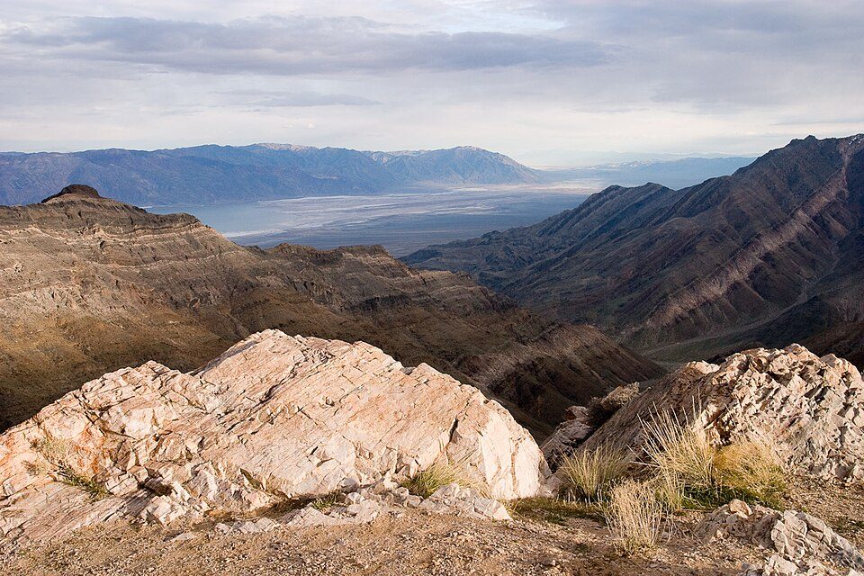 Big draw64 mi National ParkDeath Valley National Park1.3M visitors a year
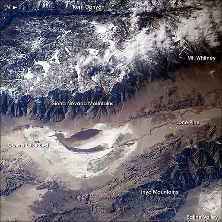 65 mi LakeOwens Lake
 52 mi LandmarkBalls 8
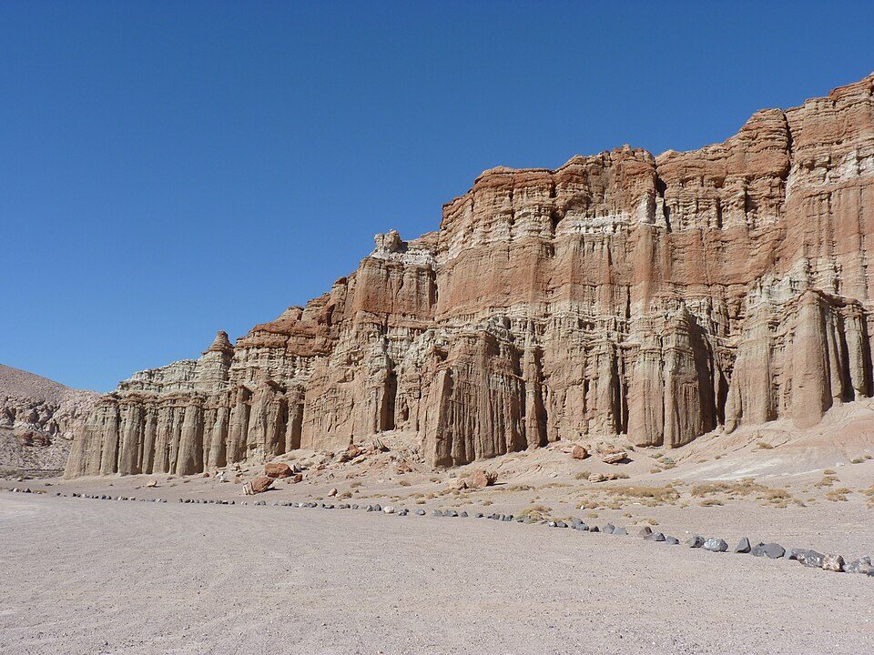 39 mi State parkRed Rock Canyon State Park
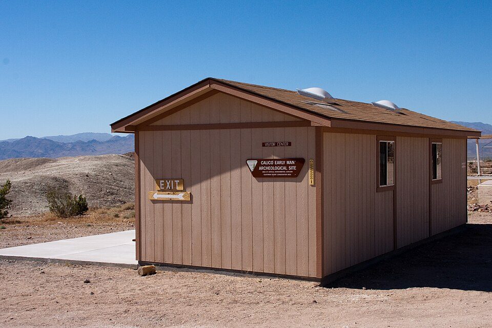 58 mi Ancient siteCalico Early Man Site
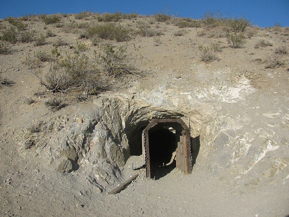 32 mi Park & preserveBurro Schmidt Tunnel
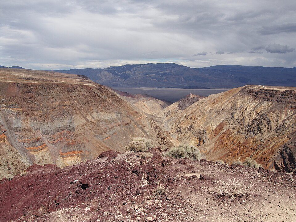 52 mi Canyon & gorgeRainbow Canyon
 55 mi AttractionDante's View
Photo credits
Death Valley National Park: Greg Willis from Denver, CO, usa, CC BY-SA 2.0 · Owens Lake: Picture prepared for Wikipedia by Adrian Pingstone in November 2003., Public domain · Balls 8: NASA/Tony Landis, Public domain · Red Rock Canyon State Park: Jean trans h+, CC BY-SA 4.0 · Calico Early Man Site: Ellen Levy Finch (Elf), CC BY-SA 3.0 · Burro Schmidt Tunnel: Kurtis2014, CC BY-SA 3.0 · Rainbow Canyon: Agnieszka Kwiecień, Nova, CC BY-SA 4.0 · Dante's View: Roger469, Public domain


Visiting Trona Pinnacles
What town is Trona Pinnacles near?
Searles Valley, CA, about 11 miles north.
When is the best time to visit Trona Pinnacles?
March, April, October and November, with highs of 70–84°.
How far is Trona Pinnacles from Bakersfield?
About 96 miles west of Bakersfield, as the crow flies.
What is the closest airport to Trona Pinnacles?
Meadows Field (BFL), about 96 miles away. The nearest big hub is San Bernardino (SBD), about 105 miles.
Where should I stay near Trona Pinnacles?
Ridgecrest (17 mi, 32 places to stay).
Tips from people in Searles Valley
No tips yet. Ask, or answer, in Searles Valley’s Town Square.
Sources: National Park Service · ski areas © OpenSkiMap / OpenStreetMap contributors · Wikidata · Wikipedia readership · NOAA climate normals · U.S. Census.