
Devils Hole
Devils Hole is a geologic formation located in a detached unit of Death Valley National Park and surrounded by the Ash Meadows National Wildlife Refuge, in Nye County, Nevada, in the Southwestern United States.

A cave, 13 mi southeast of Amargosa Valley
Summers are hot
July and August highs run 103–104°, and about 141 days a year reach 90°. When to go ↓
Plan where you’ll sleep
The nearest town with many places to stay is Pahrump, 22 miles southeast. Where to stay ↓
One of the most looked-up attractions in the U.S.
About 95K people a year read its Wikipedia article, more than for 96% of the 7,799 attractions we track.
A day trip from Las Vegas
Las Vegas is about 59 miles east (straight-line). Where to stay ↓
Best months: Mar, Apr and Oct
March, April and October are the mild months, with highs of 71–82°. When to go ↓
Written from NOAA 1991–2020 normals, Overture places to stay, Census town figures, Wikidata and Wikipedia.
Weather, month by month
Typical highs and lows in Amargosa Valley. Green months are the mild ones.
Devils Hole
Devils Hole is a geologic formation located in a detached unit of Death Valley National Park and surrounded by the Ash Meadows National Wildlife Refuge, in Nye County, Nevada, in the Southwestern United States.
Devils Hole is habitat for the only naturally occurring population of the endangered Devils Hole pupfish (Cyprinodon diabolis). The 40 acres (16 ha) unit is part of the Ash Meadows complex, an area of desert uplands and spring-fed oases that was designated as a National Wildlife Refuge in 1984. In 1952 President Harry Truman added Devils Hole to what was then Death Valley National Monument.
- Type
- Cave
- Elevation
- 2,438 ft
- Wikipedia readers
- 95K a year
Where to stay near Devils Hole
The closest towns with hotels, motels or campgrounds are Pahrump (17) and Furnace Creek (11).
Pahrump
The closest town with somewhere to stay.
47,347 people
22 mi southeast of Devils Hole
Compare 3 towns
| Town | From Devils Hole | Drive | Places to stay | People | Typical home |
|---|---|---|---|---|---|
| Pahrump | 22 mi southeast | 30 min | 17 3 hotels · 3 lodges & cabins · 1 campground · 10 RV parks | 47,347 | $310K |
| Furnace Creek | 32 mi west | 50 min | 11 7 hotels · 4 campgrounds | 73 | — |
| Amargosa Valley | 13 mi northwest | 20 min | 1 1 hotel | 1,445 | — |
Day trip from
Straight-line miles.
Getting there
Nearest airports with airline service
Also near Devils Hole
Other well-known places within 67 miles.
 Big draw66 mi Stadium & arenaAllegiant Stadium
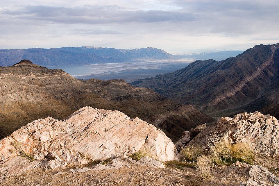 Big draw31 mi National ParkDeath Valley National Park1.3M visitors a year
 Big draw66 mi Stadium & arenaT-Mobile Arena
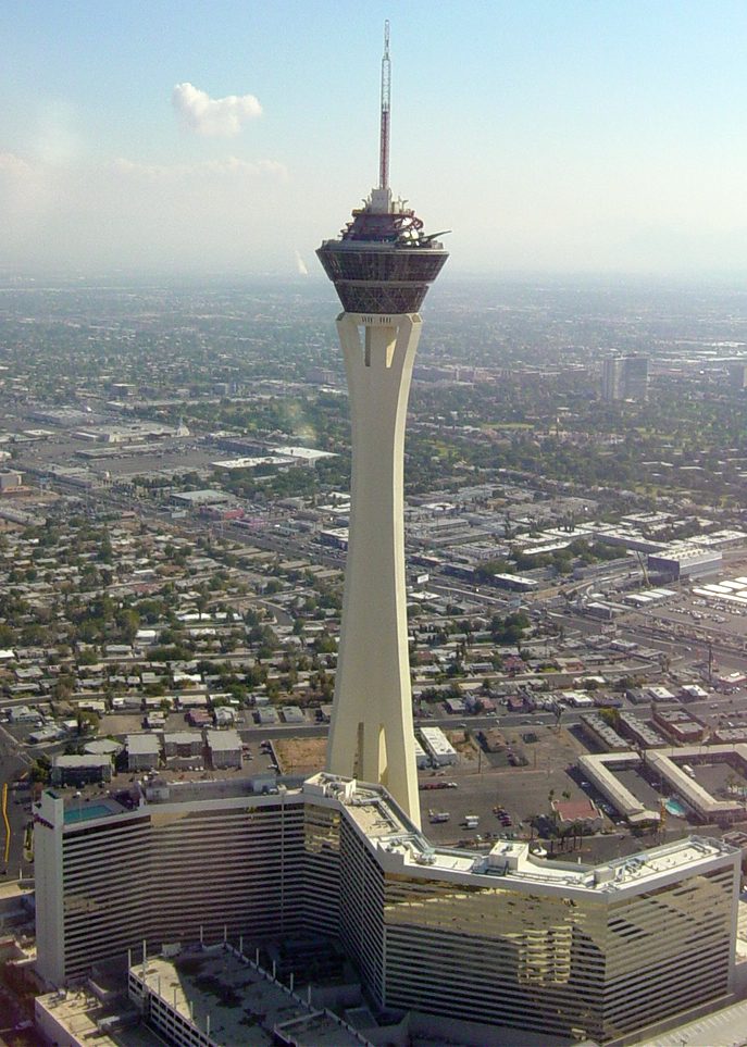 66 mi LookoutThe STRAT Hotel, Casino & SkyPod
 66 mi Stadium & arenaMGM Grand Garden Arena
 64 mi LakeGroom Lake
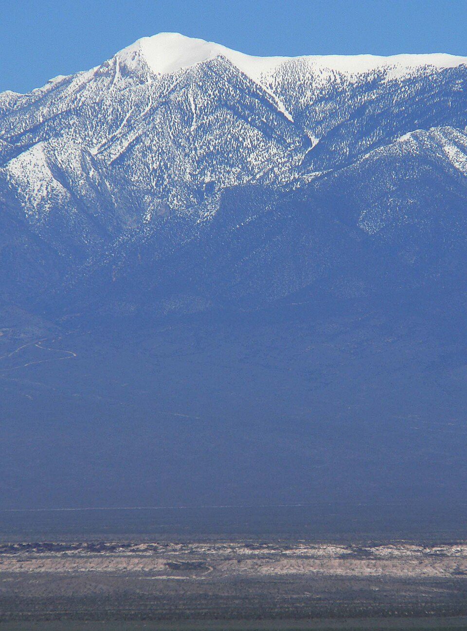 35 mi MountainCharleston Peak
 66 mi TheatreThe Colosseum at Caesars Palace
Photo credits
Allegiant Stadium: Tomás Del Coro, CC BY-SA 2.0 · Death Valley National Park: Greg Willis from Denver, CO, usa, CC BY-SA 2.0 · T-Mobile Arena: Tomás Del Coro from Las Vegas, Nevada, USA, CC BY-SA 2.0 · The STRAT Hotel, Casino & SkyPod: Original uploader was Timjarrett at en.wikipedia, CC BY-SA 3.0 · MGM Grand Garden Arena: Slargent, CC BY 1.0 · Groom Lake: Doc Searls from Santa Barbara, USA, CC BY 2.0 · Charleston Peak: Stan Shebs, CC BY-SA 3.0 · The Colosseum at Caesars Palace: Forest & Kim Starr, CC BY 3.0


Visiting Devils Hole
What town is Devils Hole near?
Amargosa Valley, NV, about 13 miles northwest.
When is the best time to visit Devils Hole?
March, April and October, with highs of 71–82°.
How far is Devils Hole from Las Vegas and Henderson?
About 59 miles east of Las Vegas and about 76 miles east of Henderson, as the crow flies.
What is the closest airport to Devils Hole?
Harry Reid (LAS), about 68 miles away.
Where should I stay near Devils Hole?
Pahrump (22 mi, 17 places to stay) and Furnace Creek (32 mi, 11 places to stay).
Tips from people in Amargosa Valley
No tips yet. Ask, or answer, in Amargosa Valley’s Town Square.
Sources: National Park Service · ski areas © OpenSkiMap / OpenStreetMap contributors · Wikidata · Wikipedia readership · NOAA climate normals · U.S. Census.