Lost two-thirds of its people between 1840 and 1960, then more than doubled.
23 censuses, 1800–2020.
U.S. Census Bureau decennial counts, from the census table on Goshen’s Wikipedia page.
On the map
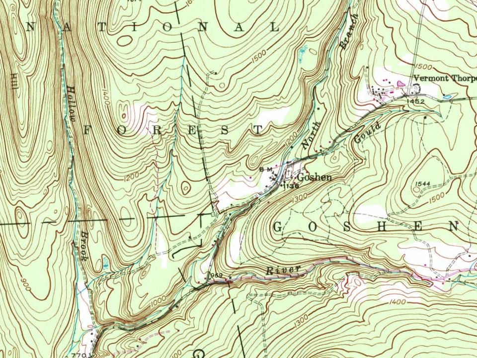
Goshen on the map, 1902 to 1997
Every edition of the U.S. Geological Survey’s map of Goshen. Tap a year, or press play to watch the town change.
1902Brandon sheet · 1:62,500
U.S. Geological Survey historical topographic maps (public domain), via Esri’s collection of the scans. The red ring marks the center of Goshen.
The story so far
Goshen, in brief
Wikipedia doesn’t have a history of Goshen yet. The photos, dates and memories neighbors add here are how it gets written.
Goshen is a town in Addison County, Vermont, United States. The population was 172 at the 2020 census.
Goshen was established in 1792. Between the 2010 and 2020 censuses its population grew from 164 to 172 (+5%).
Intro from Wikipedia. Population: U.S. Census Bureau.
From the old history books
What they wrote about Goshen in 1886
Passages that mention Goshen, cut from the printed page as they were published.
History of Addison county Vermont, with illustrations and biographical sketches of some of its prominent men and pioneers1886 · page 454Read the page →
Read the text
HE town of Goshen, situated on the southern boundary of Addison county, J_ is bounded on the north by Ripton, on the east by Hancock and Rochester, south by Chittenden, and on the west by Brandon, Leicester and Salisbury. The town was granted by New Hampshire on the 23d of February, 1782, though the charter was not obtained until February 2, 1792. It entitled John Powell, William Douglass and sixtythree others to 13,000 acres. A new charter was granted on the 1st of November, 1798, by which two gores lying in Caledonia county, seventy miles away, containing respectively 2,828 and
Text read by machine from the scan; it may contain errors.
History of Addison county Vermont, with illustrations and biographical sketches of some of its prominent men and pioneers1886 · page 460Read the page →
Read the text
The only industries in Goshen, aside from the agricultural pursuits of the people, are represented by the saw-mill now owned and operated by Numan Allen, located in the southwestern part of the town, which was built by John Capen about the year 1850. Mr. Allen bought the property in the fall of 1863. Staves, barrel heads, shingles and all kinds of lumber for building purposes are manufactured in this mill. The mill is run by water power and has a capacity for sawing about 10,000 feet of lumber a day. The saw-mill of Turner W. Dutton, the only other mill of any description in town, was built
Text read by machine from the scan; it may contain errors.
Scans and text from the Internet Archive. Books published in 1930 or earlier, which are in the public domain.
Timeline
Goshen, 1792 to 1902
Woven from the archive, old maps, post office records, the National Register and the people born here.
Founding dates: Wikidata, Wikipedia, the U.S. post office records of Blevins & Helbock (CC0) and the Census. Homes by year built: Census ACS 2020–24. National Register of Historic Places: National Park Service (list of May 22, 2026). Old photos, postcards and papers: Wikimedia Commons, the Library of Congress and other public archives, credited on each item’s page. Maps: U.S. Geological Survey historical topographic maps (via Esri) and Sanborn fire-insurance maps (Library of Congress). History text and census tables: Wikipedia (CC BY-SA 4.0). Places that used to be: USGS Geographic Names Information System (2021). How TownRatings grades history →
From Wikimedia Commons (8), Wikidata (1), the National Register of Historic Places (1), U.S. Geological Survey historical maps, U.S. Census counts (via Wikipedia), the US Post Offices dataset (Blevins & Helbock), the USGS Geographic Names Information System and old county and town histories (Internet Archive). Archive images are copied here with their credits and licenses, shown on each photo’s page. Refreshed monthly.
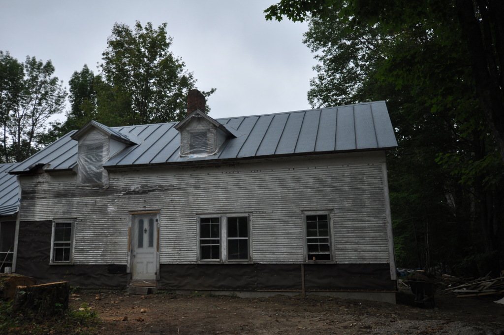





 2025
 2025
 2017
 2016
 2016
 2016
 2012
 2004