1
Mount Weather Emergency Operations Center
Civilian command facility for the Federal Emergency Management Agency.
Each edition grades its towns against each other only.
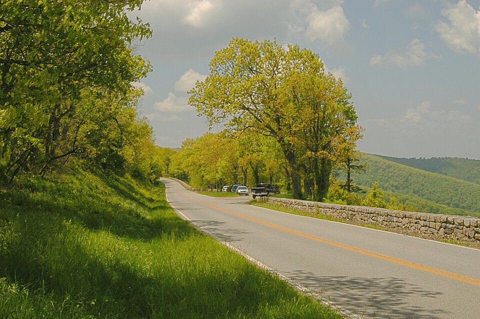
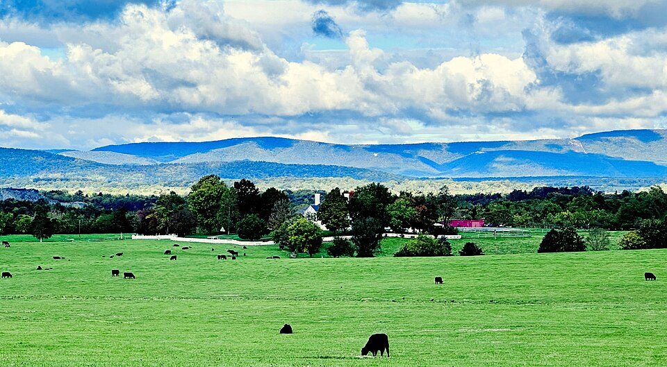
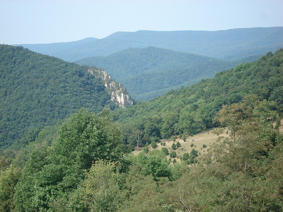
About 1.7M people a year visit Shenandoah National Park. None of our places to visit is inside Forestville; 10 are within 40 miles. Among them are 2 caves, a national park and a park & preserve. Further afield, Mount Weather Emergency Operations Center is 51 mi from the centre.
195,000 acres in Virginia (US) maintained by the National Park Service.
The towns around it, and where to stay →
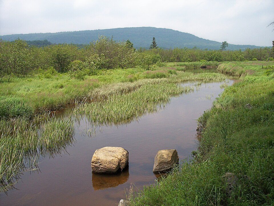
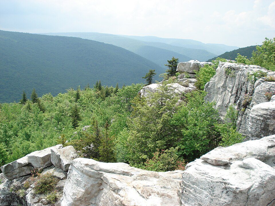
The list reaches out to Dolly Sods Wilderness, 40 mi away.
Orange: Forestville. Numbers: the best-known places, matching the list below. © OpenStreetMap contributors
These 37 are within 60 miles, none in town.
Civilian command facility for the Federal Emergency Management Agency.
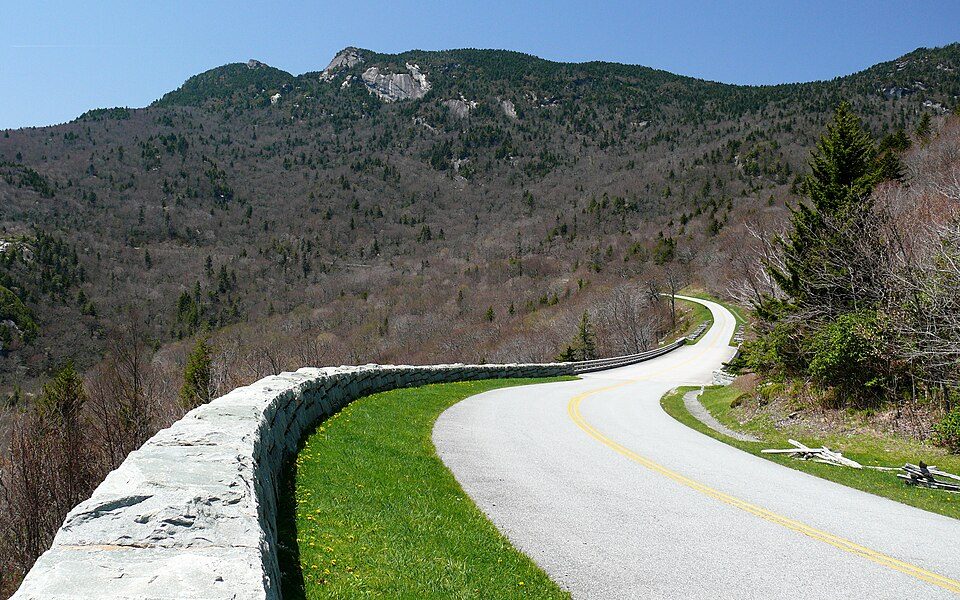
Scenic parkway that runs between Shenandoah National Park in west central Virginia and Great Smoky National Park in western North Carolina.
195,000 acres in Virginia (US) maintained by the National Park Service.
National Scenic Byway in Shenandoah National Park, Virginia, USA.
Pair of National Forests in the United States.
National Historical Park located in the District of Columbia and the states of Maryland and West Virginia.
Place in Virginia listed on National Register of Historic Places.
8,000-acre park operated by the U.S. National Park Service.
Historic site in Frederick, Shenandoah, and Warren counties, Virginia.
Living history museum in Staunton, Virginia, United States.
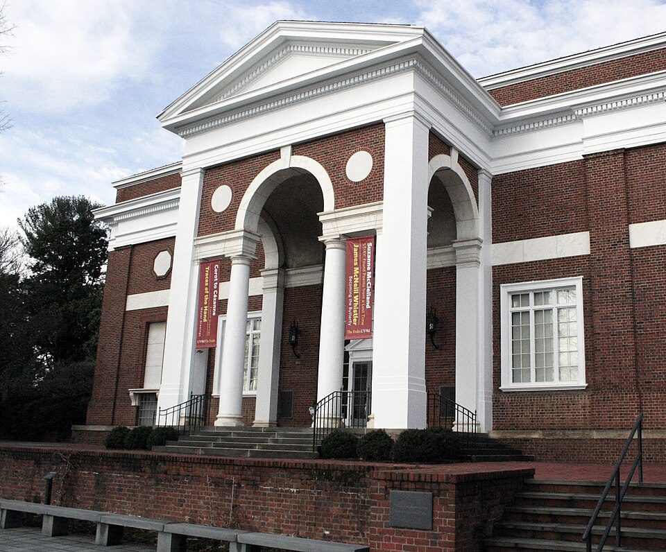
Art Museum in Charlottesville, Virginia.
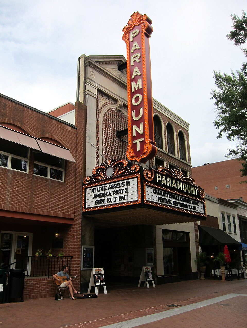
Theater and movie theater in Charlottesville, Virginia, United States.
Mid-19th-century library and museum in Romney, West Virginia.
Library and museum in Middleburg, Virginia, USA.
Ranked by how many people look them up, so the famous places lead and the local favorites follow.
Parks and trails in Forestville → · Forestville’s history →
Mount Weather Emergency Operations Center: Unknown, Public domain · Blue Ridge Parkway: Ken Thomas, Public domain · Shenandoah National Park: Image copyright 2005 by user G. Edward Johnson (user Lorax) and released under t, CC BY-SA 3.0 · Dolly Sods Wilderness: Valerius Tygart, CC BY-SA 3.0 · Luray Caverns: Paulo Ordoveza from Washington, DC, CC BY 2.0 · Skyline Drive: Image copyright 2005 by user G. Edward Johnson (user Lorax) and released under t, CC BY-SA 3.0 · Scott Stadium: Mak7912, CC BY-SA 3.0 · Spruce Mountain: Valerius Tygart, CC BY-SA 3.0 · John Paul Jones Arena: Bob Mical, CC BY 2.0 · Massanutten Resort: Arbogastlw at English Wikipedia, Public domain · George Washington and Jefferson National Forests: Aneta Kaluzna, CC BY-SA 2.5 · Chesapeake and Ohio Canal National Historical Park: Bonnachoven, CC0 · Blackwater Falls: Tim Kiser (w:User:Malepheasant), CC BY-SA 2.5 · Germanna: Unknown author, Public domain · Fredericksburg and Spotsylvania County Battlefields Memorial National Military Park: RebelAt at en.wikipedia, CC BY-SA 3.0 · Market Street Park: Chad Fennell, CC BY 2.0 · Canaan Valley Ski Resort: Tim Kiser (w:User:Malepheasant), CC BY-SA 2.5 · Museum of the Shenandoah Valley: GustaveCourbet, Public domain · Cedar Creek and Belle Grove National Historical Park: APK, CC BY-SA 4.0 · Frontier Culture Museum of Virginia: Woody Hibbard from Texas, USA, CC BY 2.0 · Fralin Museum of Art: SharpCrumbs, CC0 · Kluge-Ruhe Aboriginal Art Collection: Kluge-Ruhe Aboriginal Art Collection, CC BY-SA 4.0 · Paramount Theater: AgnosticPreachersKid, CC BY-SA 4.0 · Exchange Hotel: Rutke421 (talk) 23:13, 9 August 2008 (UTC), Public domain · Glen Burnie: Antony-22, CC BY-SA 4.0 · Literary Hall: Justin A. Wilcox from Washington, D.C., United States, CC BY-SA 2.0 · National Sporting Library: Hreuter, CC BY-SA 3.0 · Orland E. White Research Arboretum: by Reggaeman, CC BY-SA 3.0 · Boxerwood Gardens: uploaded with permission by User:Leonard G.., CC BY-SA 3.0 · Josephine City School: Cecouchman, CC BY-SA 3.0 · Weston: Doctree, CC0
 2
 4
 5
 7
 8
 9
 11
 12
 13
 14