
Josephine City School
Josephine City School is a historic school building for African-American children located at Berryville, Clarke County, Virginia. The first to add nearby is Mount Weather Emergency Operations Center, at 7.2 mi. Weather is mildest over April, May, June, September and October, with 66–82°F highs.

A museum inside Berryville
Charles Town is the nearest base
Charles Town is 10 miles northeast, with 8 places to stay. Where to stay ↓
A day trip from Washington
Washington is about 54 miles east and Baltimore is about 74 miles east (straight-line). Where to stay ↓
Best months: Apr, May, Jun, Sep and Oct
April, May, June, September and October are the mild months, with highs of 66–82°. When to go ↓
Written from NOAA 1991–2020 normals, Overture places to stay, Census town figures, Wikidata and Wikipedia.
The weather by month
Plan a visit to Josephine City School around the weather below.
Josephine City School
Josephine City School is a historic school building for African-American children located at Berryville, Clarke County, Virginia. It was built about 1882, and is a rectangular, one-story, frame building with a gable roof and a four-bay side gable entrance facade. The school measures approximately 40 feet long and 30 feet wide. It is part of a school complex for African American children that included the Josephine City School; the 1930 brick Clarke County Training School; and a 1941 frame building that was constructed as additional agriculture classrooms. It was used as an elementary school until 1930, when it was moved a short distance from its original location, and used as the Clarke County Training School's home economics and agriculture classrooms.
- Type
- Museum
- Listed
- National Register of Historic Places (1995) · Virginia Historic Landmark (1995)
Nights near Josephine City School
The first towns with rooms are Winchester (30) and Ranson corporation (12).
Compare 8 towns
| Town | From Josephine City School | Drive | Places to stay | People | Typical home | Safety |
|---|---|---|---|---|---|---|
| Berryville | in town | — | 2 2 inns & B&Bs | 4,828 | $551K | A |
| Winchester | 11 mi west | 15 min | 30 26 hotels · 2 inns & B&Bs · 1 lodge or cabins · 1 campground | 28,272 | $343K | C− |
| Ranson corporation | 13 mi northeast | 20 min | 12 10 hotels · 2 motels | 6,853 | $243K | — |
| Charles Town | 10 mi northeast | 15 min | 8 5 hotels · 3 inns & B&Bs | 9,329 | $378K | B+ |
| Front Royal | 19 mi southwest | 30 min | 20 7 hotels · 8 motels · 3 inns & B&Bs · 1 lodge or cabins · 1 campground | 15,722 | $314K | C+ |
| Shenandoah Farms | 12 mi south | 20 min | 7 2 hotels · 4 lodges & cabins · 1 campground | 4,179 | $281K | — |
| Boyce | 5 mi southwest | 10 min | 3 1 motel · 2 inns & B&Bs | 794 | $425K | — |
| Stephens City | 13 mi west | 20 min | 7 4 hotels · 1 motel · 1 lodge or cabins · 1 campground | 2,207 | $325K | B |
Day trip from
Straight-line miles.
Getting there
Nearest airports with airline service
Close to Josephine City School
These well-known sights sit within 55 miles.
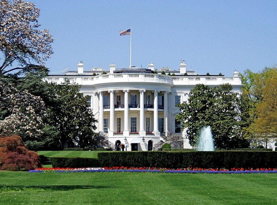 Big draw53 mi National park siteWhite House311K visitors a year
 Big draw17 mi LandmarkMount Weather Emergency Operations Center
 Big draw54 mi National MemorialWashington Monument204K visitors a year
 Big draw52 mi LandmarkArlington National Cemetery
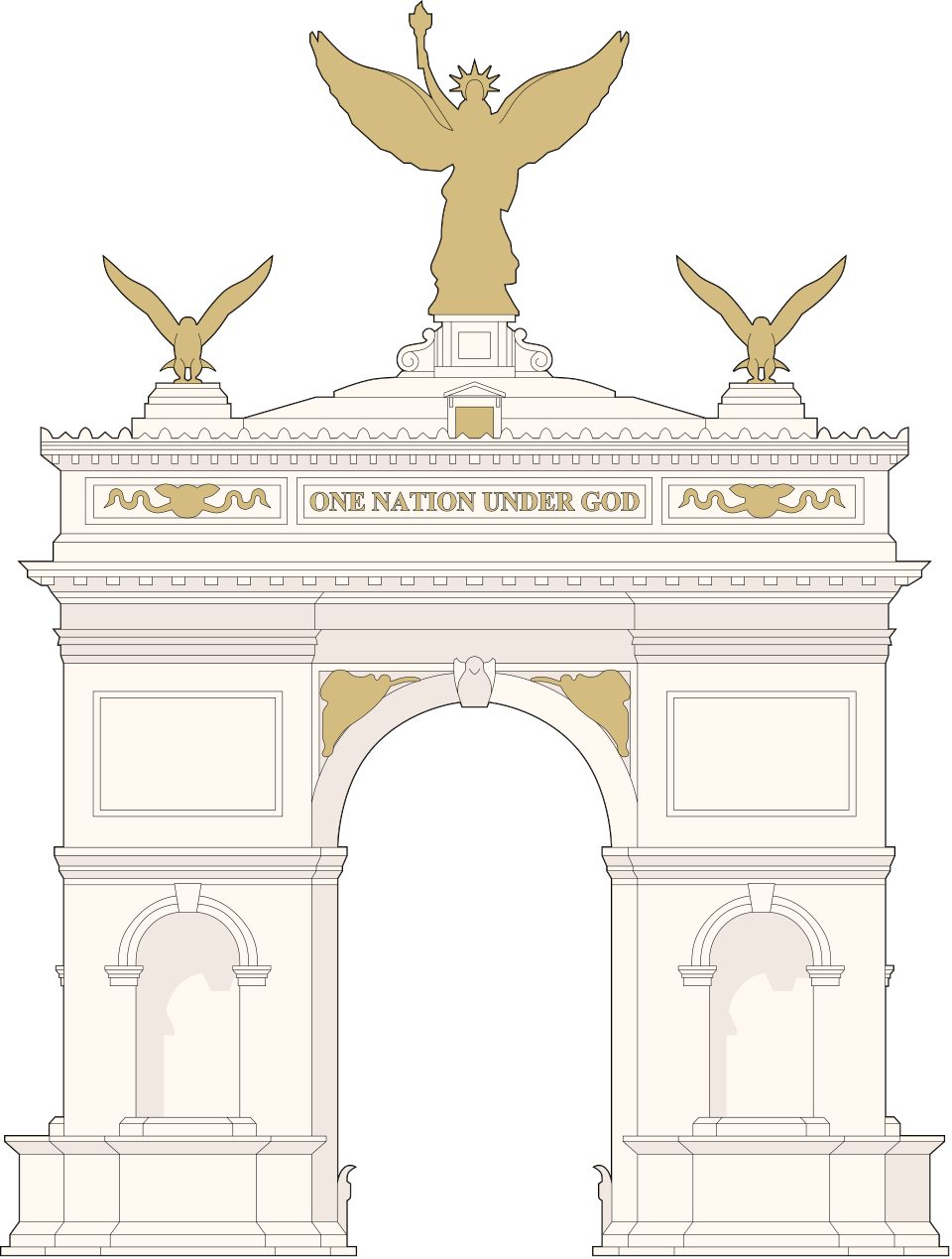 Big draw52 mi LandmarkUnited States Triumphal Arch
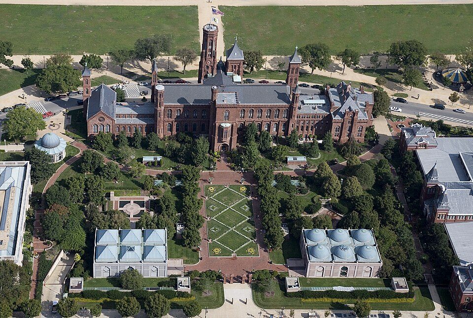 Big draw54 mi MuseumSmithsonian Institution30.0M visitors a year
 Big draw51 mi LandmarkRaven Rock Mountain Complex
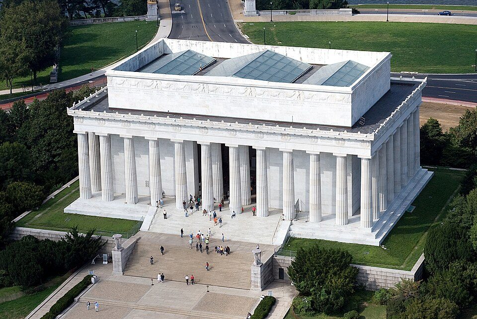 Big draw53 mi National MemorialLincoln Memorial7.7M visitors a year
Photo credits
White House: This image or media was taken or created by Matt H. Wade. To see his entire port, CC BY-SA 3.0 · Mount Weather Emergency Operations Center: Unknown, Public domain · Washington Monument: Oren Rozen, CC BY-SA 4.0 · Arlington National Cemetery: Protoant, Public domain · United States Triumphal Arch: Hstoops, CC0 · Smithsonian Institution: Highsmith, Carol M., 1946-, photographer, Public domain · Raven Rock Mountain Complex: US Government, Public domain · Lincoln Memorial: Aerial_view_of_Lincoln_Memorial_-_east_side.jpg: Carol M. Highsmith derivative w, Public domain


Questions about Josephine City School
Is Josephine City School in Berryville?
Yes. It’s inside Berryville, VA.
When is the best time to visit Josephine City School?
April, May, June, September and October, with highs of 66–82°.
How far is Josephine City School from Washington and Baltimore?
About 54 miles east of Washington and about 74 miles east of Baltimore, as the crow flies.
What is the closest airport to Josephine City School?
Washington Dulles (IAD), about 31 miles away.
Where should I stay near Josephine City School?
Winchester (11 mi, 30 places to stay), Ranson corporation (13 mi, 12 places to stay) and Charles Town (10 mi, 8 places to stay).
Tips from people in Berryville
Start the conversation in Berryville’s Town Square.
Sources: National Park Service · ski areas © OpenSkiMap / OpenStreetMap contributors · Wikidata · Wikipedia readership · NOAA climate normals · U.S. Census.