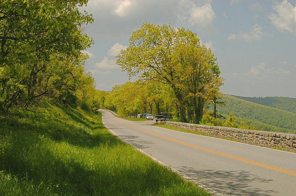
Skyline Drive
Skyline Drive is a 105-mile (169 km) National Parkway that runs the entire length of the National Park Service's Shenandoah National Park in the Blue Ridge Mountains of Virginia, generally along the ridge of the mountains. Find it 3 mi southeast of Stanley. Its story as a place to visit starts in 1939.

A scenic drive, 3 mi southeast of Stanley
Stanley is the nearest base
Stanley is 3 miles northwest, with 10 places to stay. Where to stay ↓
A day trip from Washington
Washington is about 82 miles east (straight-line). Where to stay ↓
Best months: Apr, May, Jun, Aug, Sep and Oct
April, May, June, August, September and October are the mild months, with highs of 66–84°. When to go ↓
Established in 1939
Skyline Drive dates from 1939. About ↓
Written from NOAA 1991–2020 normals, Overture places to stay, Census town figures, Wikidata and Wikipedia.
Weather, month by month
Pick a month for Skyline Drive from the weather below.
Skyline Drive
Skyline Drive is a 105-mile (169 km) National Parkway that runs the entire length of the National Park Service's Shenandoah National Park in the Blue Ridge Mountains of Virginia, generally along the ridge of the mountains. The drive's northern terminus is at an intersection with U.S. Route 340 (US 340) near Front Royal, and the southern terminus is at an interchange with US 250 near Interstate 64 (I-64) in Rockfish Gap, where the road continues south as the Blue Ridge Parkway. The road has intermediate interchanges with US 211 in Thornton Gap and US 33 in Swift Run Gap. Skyline Drive is part of Virginia State Route 48, which also includes the Virginia portion of the Blue Ridge Parkway, but this designation is not signed.
- Type
- Scenic drive
- Established
- 1939
- Wikipedia readers
- 30K a year
Lodging near Skyline Drive
The closest towns with hotels, motels or campgrounds are Luray (31) and Stanley (10).
Compare 8 towns
| Town | From Skyline Drive | Drive | Places to stay | People | Typical home | Safety |
|---|---|---|---|---|---|---|
| Luray | 8 mi north | 10 min | 31 9 hotels · 2 motels · 11 inns & B&Bs · 3 lodges & cabins · 1 hostel · 5 campgrounds | 4,823 | $254K | B− |
| Stanley | 3 mi northwest | 5 min | 10 2 inns & B&Bs · 8 lodges & cabins | 1,704 | $211K | — |
| Harrisonburg | 24 mi west | 35 min | 40 32 hotels · 3 motels · 5 inns & B&Bs | 50,839 | $299K | C |
| Massanutten 56% vacation homes | 17 mi southwest | 25 min | 16 13 hotels · 3 lodges & cabins | 2,261 | $397K | — |
| Shenandoah | 9 mi southwest | 15 min | 5 1 motel · 4 lodges & cabins | 2,480 | $213K | A− |
| Mount Jackson | 17 mi northwest | 25 min | 8 2 hotels · 1 motel · 2 inns & B&Bs · 1 lodge or cabins · 2 campgrounds | 2,040 | $193K | B− |
| New Market | 13 mi northwest | 20 min | 5 2 hotels · 2 inns & B&Bs · 1 lodge or cabins | 2,222 | $273K | — |
| Elkton | 13 mi southwest | 20 min | 4 2 lodges & cabins · 1 hostel · 1 campground | 3,136 | $247K | B |
Day trip from
Straight-line miles.
Getting there
Nearest airports with airline service
Pair Skyline Drive with these
Also within 68 miles are these.
16 mi National ParkShenandoah National Park1.7M visitors a year Big draw47 mi LandmarkMount Weather Emergency Operations Center
 28 mi CaveLuray Caverns
 60 mi MuseumSteven F. Udvar-Hazy Center1.6M visitors a year
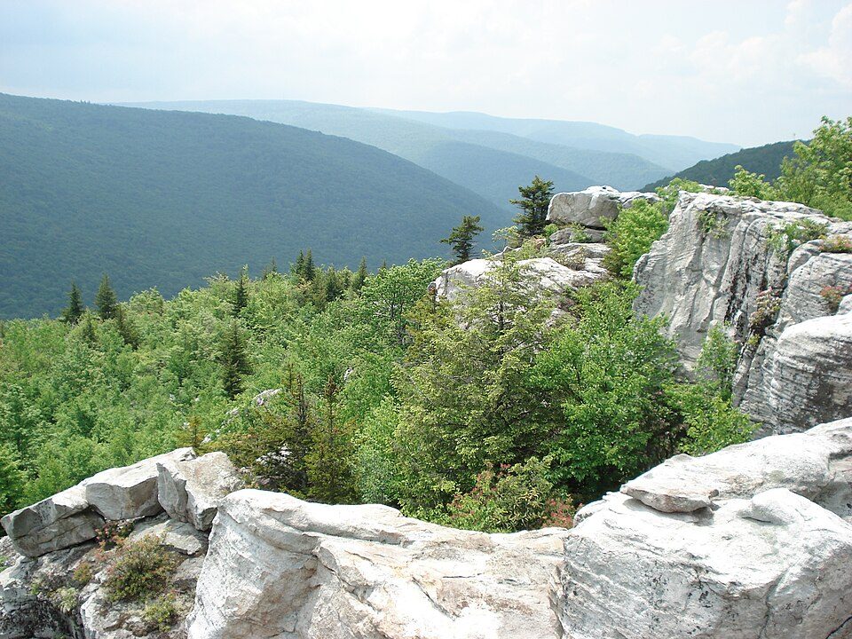 58 mi Park & preserveDolly Sods Wilderness
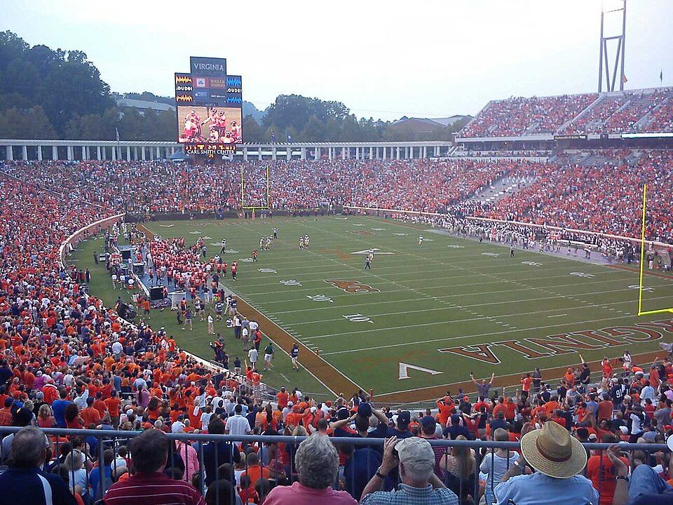 36 mi Stadium & arenaScott Stadium
 68 mi Theme parkLake Fairfax Park
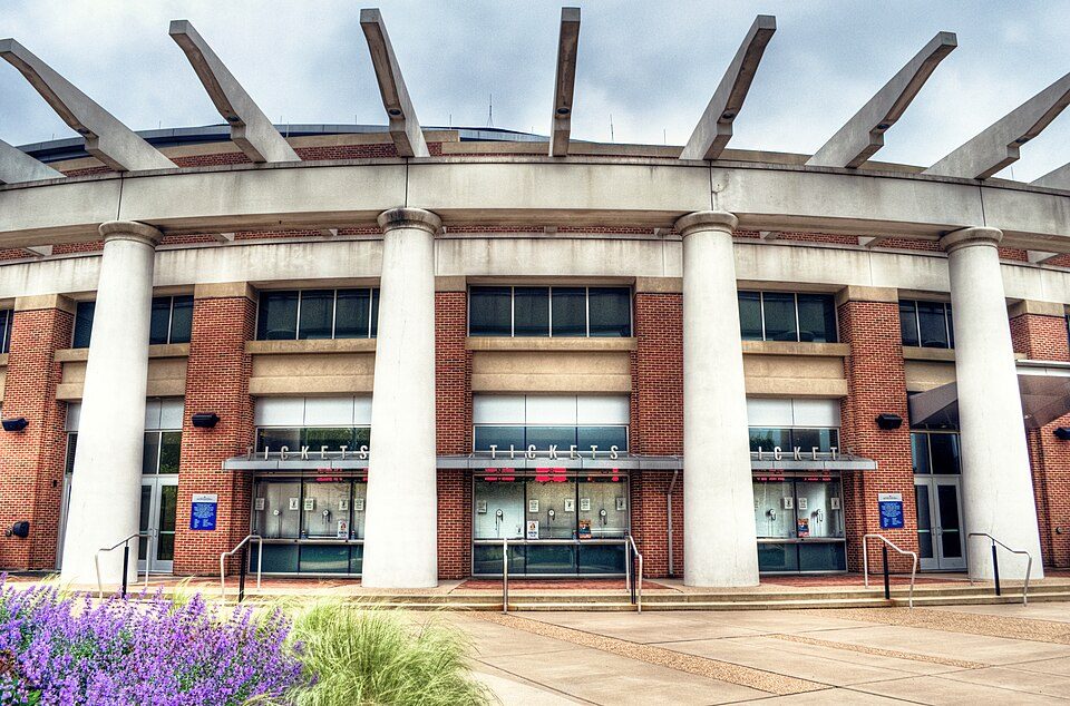 35 mi Stadium & arenaJohn Paul Jones Arena
Photo credits
Shenandoah National Park: Image copyright 2005 by user G. Edward Johnson (user Lorax) and released under t, CC BY-SA 3.0 · Mount Weather Emergency Operations Center: Unknown, Public domain · Luray Caverns: Paulo Ordoveza from Washington, DC, CC BY 2.0 · Steven F. Udvar-Hazy Center: Unknown, CC BY-SA 3.0 · Dolly Sods Wilderness: Valerius Tygart, CC BY-SA 3.0 · Scott Stadium: Mak7912, CC BY-SA 3.0 · Lake Fairfax Park: Joe Loong, CC BY-SA 2.0 · John Paul Jones Arena: Bob Mical, CC BY 2.0


Visiting Skyline Drive
What town is Skyline Drive near?
Stanley, VA, about 3 miles northwest.
When is the best time to visit Skyline Drive?
April, May, June, August, September and October, with highs of 66–84°.
How far is Skyline Drive from Washington?
About 82 miles east of Washington, as the crow flies.
What is the closest airport to Skyline Drive?
Charlottesville Albemarle (CHO), about 28 miles away. The nearest big hub is Washington Dulles (IAD), about 61 miles.
Where should I stay near Skyline Drive?
Luray (8 mi, 31 places to stay), Stanley (3 mi, 10 places to stay) and Harrisonburg (24 mi, 40 places to stay).
What locals in Stanley say
There are no tips yet, so start one in Stanley’s Town Square.
Sources: National Park Service · ski areas © OpenSkiMap / OpenStreetMap contributors · Wikidata · Wikipedia readership · NOAA climate normals · U.S. Census.