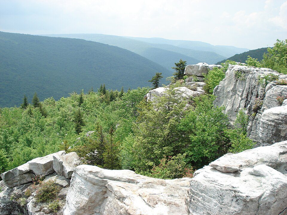
Dolly Sods Wilderness
The Dolly Sods Wilderness (DSW, originally simply Dolly Sods) is a U.S.

A park & preserve, 10 mi northeast of Harman
Winters are cold
January nights drop to 19°. When to go ↓
Davis is the nearest base
Davis is 10 miles northwest, with 7 places to stay. Where to stay ↓
Best months: May, Jun, Jul, Aug and Sep
May, June, July, August and September are the mild months, with highs of 70–80°. When to go ↓
Established in 1975
Dolly Sods Wilderness dates from 1975. About ↓
Written from NOAA 1991–2020 normals, Overture places to stay, Census town figures, Wikidata and Wikipedia.
Weather, month by month
Typical highs and lows in Harman. Green months are the mild ones.
Dolly Sods Wilderness
The Dolly Sods Wilderness (DSW, originally simply Dolly Sods) is a U.S. Wilderness Area in the Allegheny Mountains of eastern West Virginia and is part of the Monongahela National Forest of the U.S. Forest Service.
Dolly Sods is a rocky, high-altitude plateau with sweeping vistas and lifeforms normally found much farther north in Canada. To the north, the distinctive landscape of "the Sods" is characterized by stunted ("flagged") trees, wind-carved boulders, heath barrens, grassy meadows created in the last century by logging and fires, and sphagnum bogs that are much older. To the south, a dense cove forest occupies the branched canyon incised by the North Fork of Red Creek.
- Type
- Park & preserve
- Established
- 1975
- Wikipedia readers
- 51K a year
Where to stay near Dolly Sods Wilderness
The closest towns with hotels, motels or campgrounds are Davis (7) and Petersburg (7).
Davis
The closest town with somewhere to stay.
579 people
10 mi northwest of Dolly Sods Wilderness
Compare 8 towns
| Town | From Dolly Sods Wilderness | Drive | Places to stay | People | Typical home |
|---|---|---|---|---|---|
| Davis | 10 mi northwest | 15 min | 7 1 hotel · 1 motel · 3 lodges & cabins · 2 campgrounds | 579 | $177K |
| Petersburg | 13 mi east | 20 min | 7 3 motels · 2 inns & B&Bs · 2 campgrounds | 2,282 | $125K |
| Bowden | 19 mi west | 30 min | 11 1 hotel · 5 lodges & cabins · 4 campgrounds · 1 RV park | — | — |
| Elkins | 27 mi west | 40 min | 18 11 hotels · 1 motel · 2 inns & B&Bs · 1 lodge or cabins · 1 hostel · 2 campgrounds | 6,622 | $153K |
| Harman | 10 mi southwest | 15 min | 2 2 campgrounds | 91 | $150K |
| Parsons | 18 mi west | 25 min | 4 2 inns & B&Bs · 1 campground · 1 RV park | 1,282 | $96K |
| Thomas | 13 mi northwest | 20 min | 2 1 hotel · 1 inn or B&B | 587 | $157K |
| Franklin | 24 mi south | 35 min | 5 2 hotels · 1 inn or B&B · 2 campgrounds | 527 | $219K |
Getting there
Nearest airports with airline service
Also near Dolly Sods Wilderness
Other well-known places within 64 miles. Numbered ones are on the map above.
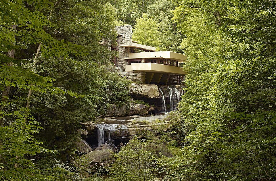 Big draw63 mi MuseumFallingwater
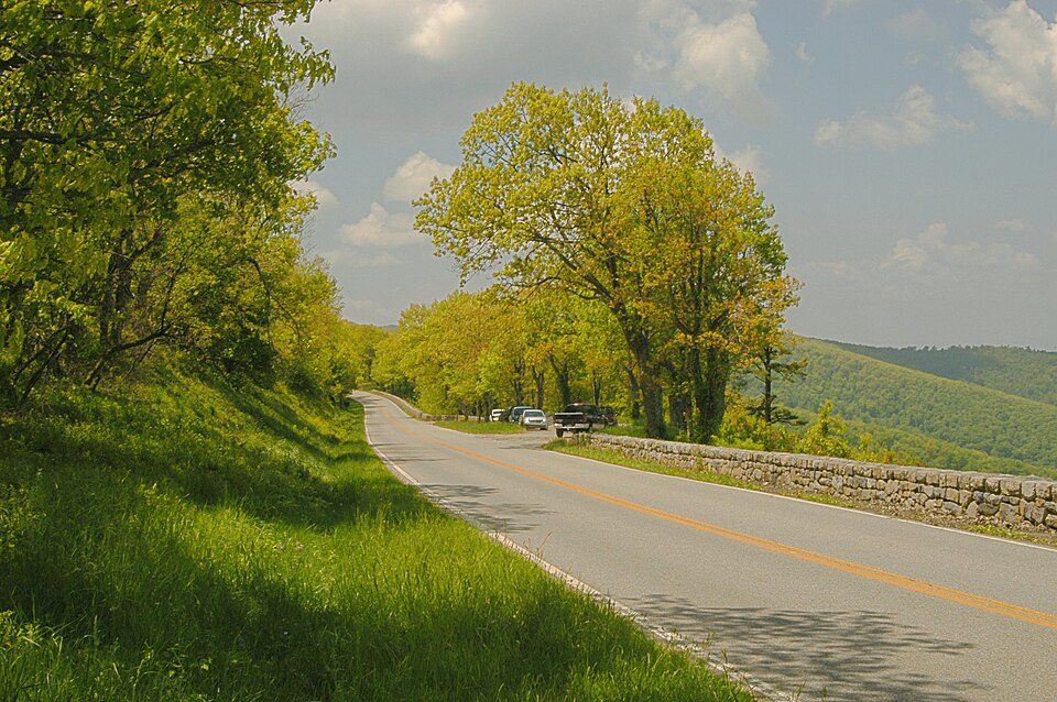 63 mi National ParkShenandoah National Park1.7M visitors a year
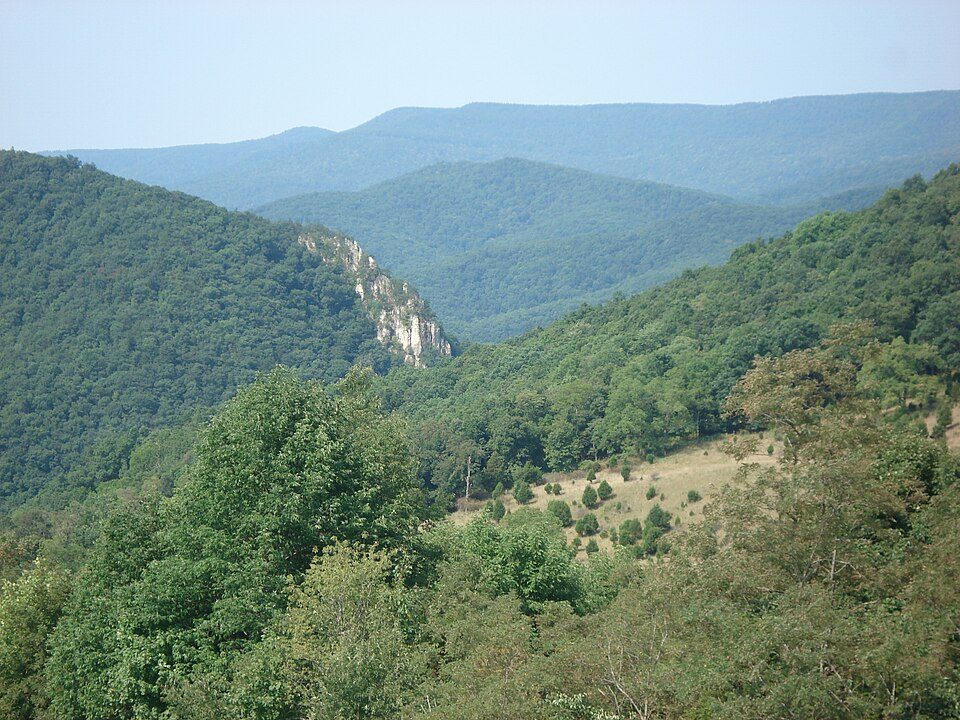 118 mi MountainSpruce Mountain
 55 mi Stadium & arenaMountaineer Field at Milan Puskar Stadium216 mi CaveHellhole
 53 mi CaveLuray Caverns
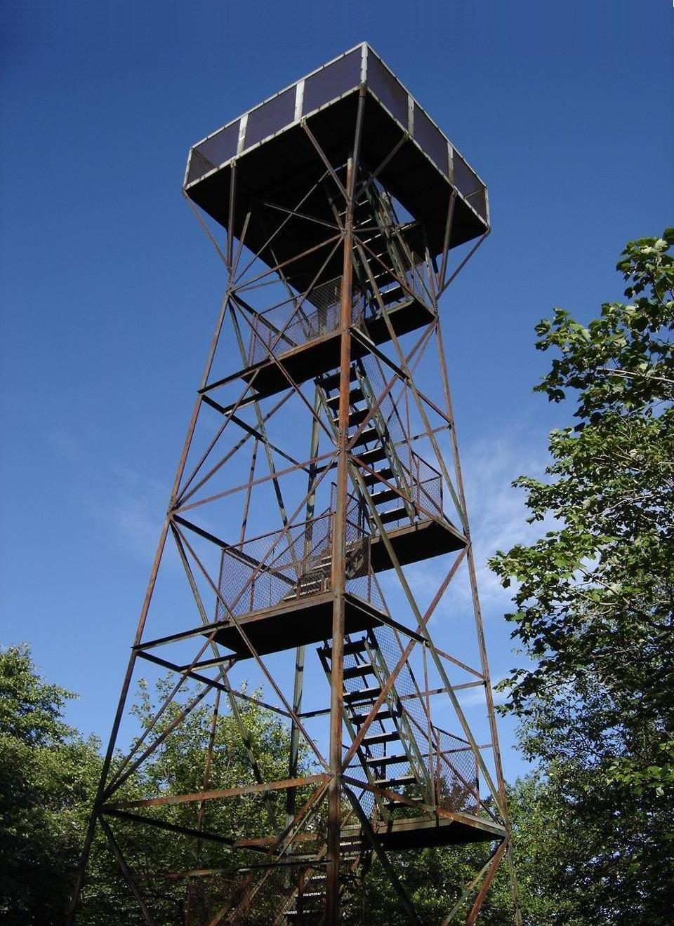 56 mi MountainMount Davis
 36 mi LakeDeep Creek Lake
Photo credits
Fallingwater: Carol M. Highsmith, Public domain · Shenandoah National Park: Image copyright 2005 by user G. Edward Johnson (user Lorax) and released under t, CC BY-SA 3.0 · Spruce Mountain: Valerius Tygart, CC BY-SA 3.0 · Mountaineer Field at Milan Puskar Stadium: Quintin Soloviev, CC BY 4.0 · Luray Caverns: Paulo Ordoveza from Washington, DC, CC BY 2.0 · Mount Davis: Wikiuser100, CC BY-SA 3.0 · Deep Creek Lake: Gohens84, CC BY-SA 3.0


Visiting Dolly Sods Wilderness
What town is Dolly Sods Wilderness near?
Harman, WV, about 10 miles southwest.
When is the best time to visit Dolly Sods Wilderness?
May, June, July, August and September, with highs of 70–80°.
What is the closest airport to Dolly Sods Wilderness?
North Central West Virginia (CKB), about 51 miles away. The nearest big hub is Washington Dulles (IAD), about 103 miles.
Where should I stay near Dolly Sods Wilderness?
Davis (10 mi, 7 places to stay), Petersburg (13 mi, 7 places to stay) and Bowden (19 mi, 11 places to stay).
Tips from people in Harman
No tips yet. Ask, or answer, in Harman’s Town Square.
Sources: National Park Service · ski areas © OpenSkiMap / OpenStreetMap contributors · Wikidata · Wikipedia readership · NOAA climate normals · U.S. Census.