
Mount Weather Emergency Operations Center
The Mount Weather Emergency Operations Center is a government command facility located near Frogtown, Virginia, used as the center of operations for the Federal Emergency Management Agency (FEMA). This one stands 5 mi northeast of Paris. It comes under the United States Department of Homeland Security.

A landmark, 5 mi northeast of Paris
One of the most looked-up attractions in the U.S.
About 122K people a year read its Wikipedia article, more than for 97% of the 7,770 attractions we track.
Middleburg is the nearest base
Middleburg is 10 miles southeast, with 5 places to stay. Where to stay ↓
A day trip from Washington
Washington is about 48 miles east and Baltimore is about 70 miles east (straight-line). Where to stay ↓
Best months: Apr, May, Jun, Aug, Sep and Oct
April, May, June, August, September and October are the mild months, with highs of 64–83°. When to go ↓
Written from NOAA 1991–2020 normals, Overture places to stay, Census town figures, Wikidata and Wikipedia.
Month by month
The weather near Mount Weather Emergency Operations Center shifts through the year, as below.
Mount Weather Emergency Operations Center
The Mount Weather Emergency Operations Center is a government command facility located near Frogtown, Virginia, used as the center of operations for the Federal Emergency Management Agency (FEMA). Also known as the High Point Special Facility (HPSF), its preferred designation since 1991 is "SF".
The facility is a primary relocation site for the highest level of civilian and military officials in the case of a national disaster, playing a significant role in continuity of government (per the U.S. Continuity of Operations Plan). Mount Weather is the location of a control station for the FEMA National Radio System (FNARS), a high frequency radio system connecting most federal public safety agencies and the U.S. military with most of the states. FNARS allows the president to access the Emergency Alert System.
- Type
- Landmark
- Run by
- United States Department of Homeland Security
- Wikipedia readers
- 122K a year
Hotels and campgrounds near Mount Weather Emergency Operations Center
To stay close, try Winchester (30) and Shenandoah Farms (7).
Winchester
The closest town with somewhere to stay.
28,272 people
17 mi northwest of Mount Weather Emergency Operations Center
Shenandoah Farms
4,179 people
10 mi southwest of Mount Weather Emergency Operations Center
Compare 8 towns
| Town | From Mount Weather Emergency Operations Center | Drive | Places to stay | People | Typical home | Safety |
|---|---|---|---|---|---|---|
| Winchester | 17 mi northwest | 25 min | 30 26 hotels · 2 inns & B&Bs · 1 lodge or cabins · 1 campground | 28,272 | $343K | C− |
| Shenandoah Farms | 10 mi southwest | 15 min | 7 2 hotels · 4 lodges & cabins · 1 campground | 4,179 | $281K | — |
| Front Royal | 19 mi southwest | 30 min | 20 7 hotels · 8 motels · 3 inns & B&Bs · 1 lodge or cabins · 1 campground | 15,722 | $314K | C+ |
| Middleburg | 10 mi southeast | 15 min | 5 2 hotels · 3 inns & B&Bs | 699 | $777K | — |
| Paris | 5 mi southwest | 10 min | 3 1 hotel · 1 inn or B&B · 1 campground | 63 | — | — |
| Ranson corporation | 17 mi north | 25 min | 12 10 hotels · 2 motels | 6,853 | $243K | — |
| Shenandoah Retreat | 6 mi north | 10 min | 3 1 hotel · 1 inn or B&B · 1 lodge or cabins | 592 | $409K | — |
| Charles Town | 14 mi north | 20 min | 8 5 hotels · 3 inns & B&Bs | 9,329 | $378K | B+ |
Day trip from
Straight-line miles.
Getting there
Nearest airports with airline service
Next door to Mount Weather Emergency Operations Center
A wider trip can take in these, within 53 miles.
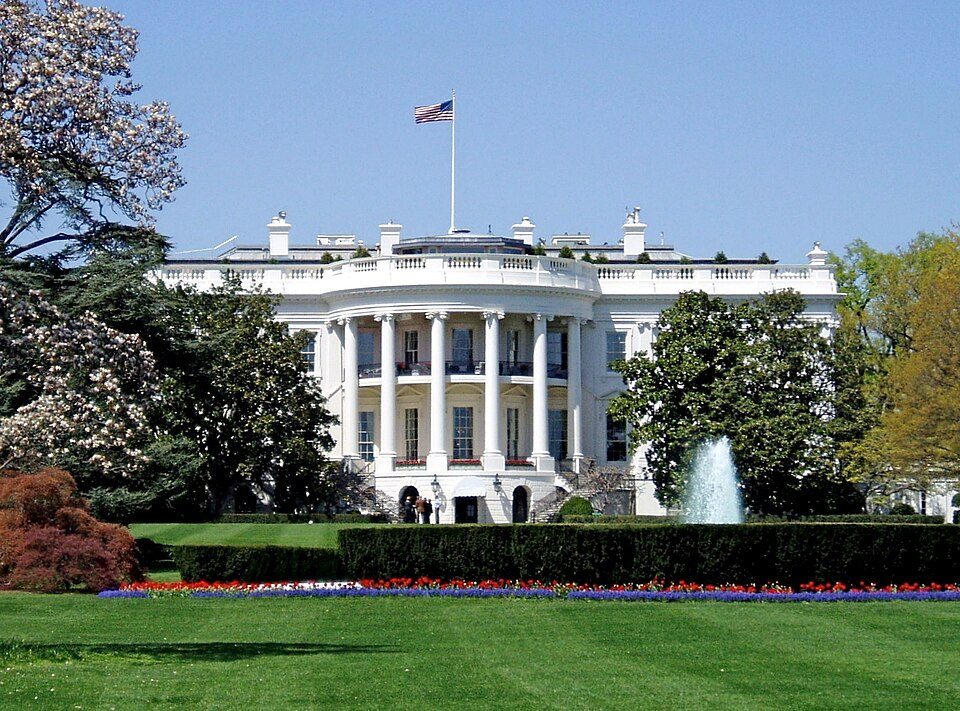 Big draw47 mi National park siteWhite House311K visitors a year
 Big draw47 mi National MemorialWashington Monument204K visitors a year
 Big draw46 mi LandmarkArlington National Cemetery
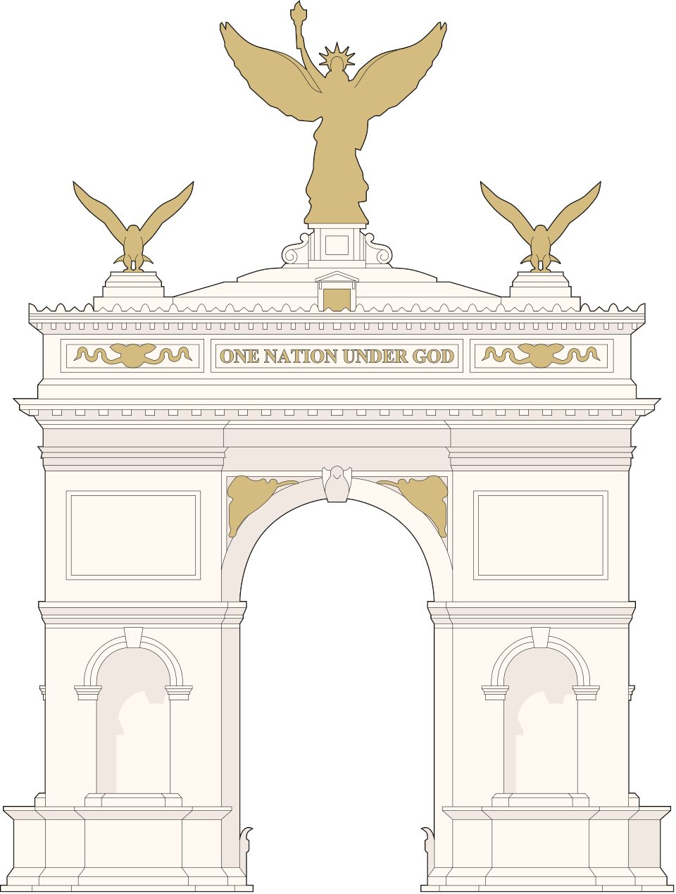 Big draw46 mi LandmarkUnited States Triumphal Arch
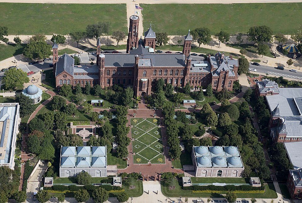 Big draw48 mi MuseumSmithsonian Institution30.0M visitors a year
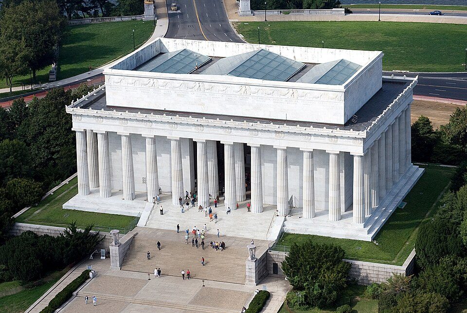 Big draw47 mi National MemorialLincoln Memorial7.7M visitors a year
 Big draw53 mi LandmarkRaven Rock Mountain Complex
 126 mi MuseumSteven F. Udvar-Hazy Center1.6M visitors a year
Photo credits
White House: This image or media was taken or created by Matt H. Wade. To see his entire port, CC BY-SA 3.0 · Washington Monument: Oren Rozen, CC BY-SA 4.0 · Arlington National Cemetery: Protoant, Public domain · United States Triumphal Arch: Hstoops, CC0 · Smithsonian Institution: Highsmith, Carol M., 1946-, photographer, Public domain · Lincoln Memorial: Aerial_view_of_Lincoln_Memorial_-_east_side.jpg: Carol M. Highsmith derivative w, Public domain · Raven Rock Mountain Complex: US Government, Public domain · Steven F. Udvar-Hazy Center: Unknown, CC BY-SA 3.0


Mount Weather Emergency Operations Center, answered
What town is Mount Weather Emergency Operations Center near?
Paris, VA, about 5 miles southwest.
When is the best time to visit Mount Weather Emergency Operations Center?
April, May, June, August, September and October, with highs of 64–83°.
How far is Mount Weather Emergency Operations Center from Washington and Baltimore?
About 48 miles east of Washington and about 70 miles east of Baltimore, as the crow flies.
What is the closest airport to Mount Weather Emergency Operations Center?
Washington Dulles (IAD), about 25 miles away.
Where should I stay near Mount Weather Emergency Operations Center?
Winchester (17 mi, 30 places to stay), Shenandoah Farms (10 mi, 7 places to stay) and Front Royal (19 mi, 20 places to stay).
Local tips in Paris
There are no tips yet, so start one in Paris’s Town Square.
Sources: National Park Service · ski areas © OpenSkiMap / OpenStreetMap contributors · Wikidata · Wikipedia readership · NOAA climate normals · U.S. Census.