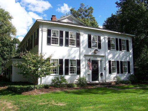
Penfield dates to 1810, and 10 of its places are on the National Register
More historic than 60% of U.S. towns · #604 of 758 in New York. What drives it
Most of Penfield was built recently: 4% of its homes predate 1940 and the median home dates from 1981. 10 places in town are on the National Register, among them a historic district with 14 buildings. Below: maps from 1900 on and the census since 1820.
Founding year: Wikidata; Wikipedia’s history section gives the same year. First post office: 1812.The full story ↓
History grade
What drives Penfield’s History grade
On its age, its old homes and the National Register, Penfield is more historic than 60% of U.S. towns, #604 of 758 in New York. Its age holds the grade up; its share of homes from before 1940 pulls it down.
B
HistoryA character grade: shown, never part of Penfield’s overall grade.
New York towns list more on the Register than most of the country (a typical New York town has 12.3 per 10,000 residents, the U.S. 2.4), so Penfield’s 8.2 sits near the middle of its state (43% of New York towns have fewer) while its 32 historic buildings outnumber those of 82% of U.S. towns.
How sure. Graded on any two of the three inputs instead, the letter would range from C+ to A−. The pre-1940 share (±1.1 points) is firm at this size. Two sources give 1810.
Founding year: Wikidata (other dates in Quick answers). Homes: Census ACS 2020–24. National Register: National Park Service, May 2026 list; each listing counted once (boundary changes and added documentation belong to their listing), and a historic district counts its contributing buildings. How TownRatings grades history →
What stands out about Penfield’s past
Read from the archive, the National Register and the record. The page puts what stands out first.
The lands that now constitute the town of Penfield were part of the hunting grounds of the Seneca people, a member of the Haudenosaunee tribes. There is no evidence of Seneca settlements within Penfield, but the town does include the place now called "Indian Landing". From this landing on the shores of Irondequoit Bay, trails and water routes went throughout the region and beyond. This included a water route with only two portages leading from the Great Lakes to the Gulf of Mexico.
Passages that mention Penfield, cut from the printed page as they were published.
History of Rochester and Monroe county, New York1908 · page 1212Read the page →
Read the text
Clark Gray is the owner of a portion of the old Gray homestead in Penfield township, Monroe county, and represents one of the old pioneer families of this section of the state, his paternal grandfather having been one of the county's first settlers. Clark Gray was born in Penfield township, a son of Clark Gray, Sr., who came to Penfield from Salem, Xew Y'ork, in 1825, and built up a
Text read by machine from the scan; it may contain errors.
History of Rochester and Monroe county, New York1908 · page 878Read the page →
Read the text
his native town and in 1825 accompanied his parents on their removal to Monroe county. New York, his father purchasing a farm in the town of Brighton from Daniel Penfield, one of the early and prominent settlers, for whom the town of Penfield was named. This farm afterward became the property of Gilbert Curtis and upon it his last da3's were passed.
Text read by machine from the scan; it may contain errors.
Jacob B. Brown wu born in the town of Penfield, on June 9, 1811, when there were but a few settlements in that town, hia father having been one of the early settlers. HU frrandfether. Stephen Birdsall, was an eminent prencher of the StKiiety of Friends, to which his uiiitemal ances-
Text read by machine from the scan; it may contain errors.
History of the pioneer settlement of Phelps and Gorham's purchase, and Morris' reserve1851 · page 430Read the page →
Read the text
Gen. Fassett located at the old Indian Landing, on the east side of the Bay, about two miles below the present village of Penfield. He had a plat surveyed there for a town, but nothing farther was done. He soon sold his interest in Penfield to Gen. Silas Pepoon, who sold it to Samuel P. Lloyd, from whom, in consequence of some liabilities incurred, it went into the hands of Daniel Penfield.
Text read by machine from the scan; it may contain errors.
Scans and text from the Internet Archive. Books published in 1930 or earlier, which are in the public domain.
Timeline
Penfield, 1810 to 2020
Woven from the archive, old maps, post office records, the National Register and the people born here.
In 1810, according to Wikidata and Wikipedia’s history of the town. Penfield’s post office opened in 1812, and the census of 1820 counted 3,244 people here.
How does Penfield rank for history?
Penfield is more historic than 60% of U.S. towns, #604 of 758 in New York. The History grade combines the town’s founding era, the share of homes built before 1940 and its National Register listings. It’s a character grade, so it isn’t part of the overall grade. How it works.
What is on the National Register in Penfield?
10 listings: 9 buildings, among them the Daisy Flour Mill, Inc. (listed 1972, the first), and 1 historic district, the Penfield Road Historic District, with 14 contributing buildings. 32 historic buildings in all.
How old are the homes in Penfield?
4% of Penfield’s homes were built before 1940 (Census estimate, ±1.1 points), against a typical 27% for a New York town; the median home was built in 1981.
Founding dates: Wikidata, Wikipedia, the U.S. post office records of Blevins & Helbock (CC0) and the Census. Homes by year built: Census ACS 2020–24. National Register of Historic Places: National Park Service (list of May 22, 2026). Old photos, postcards and papers: Wikimedia Commons, the Library of Congress and other public archives, credited on each item’s page. Maps: U.S. Geological Survey historical topographic maps (via Esri) and Sanborn fire-insurance maps (Library of Congress). History text and census tables: Wikipedia (CC BY-SA 4.0). Places that used to be: USGS Geographic Names Information System (2021).
From Wikimedia Commons (11), Wikidata (1), the National Register of Historic Places (10), Wikipedia, Wikidata and Wikipedia for famous people, U.S. Geological Survey historical maps, U.S. Census counts (via Wikipedia), the US Post Offices dataset (Blevins & Helbock), the USGS Geographic Names Information System, Sanborn fire insurance maps (Library of Congress) and old county and town histories (Internet Archive). Archive images are copied here with their credits and licenses, shown on each photo’s page. Refreshed monthly.


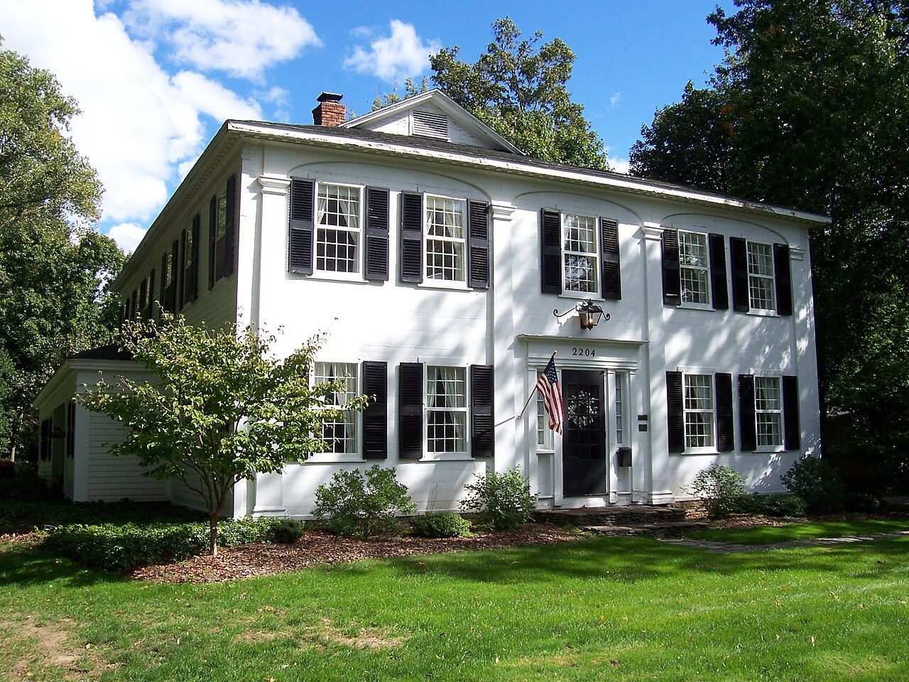


 2010
 2009
 2009
 2009
 2008
 2008
 2008
 2007
 2007
 2007
 2006